Coxford
Settlement in Norfolk King's Lynn and West Norfolk
England
Coxford

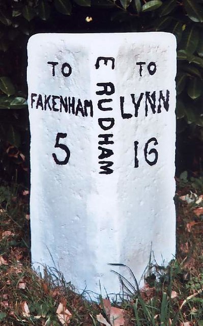
Coxford is a small village located in the county of Norfolk, England. Situated approximately 8 miles northwest of the market town of Fakenham, Coxford is nestled in a rural setting surrounded by picturesque countryside.
The village itself is characterized by its quaint and traditional English charm, with a scattering of historic cottages and farmhouses lining its narrow, winding streets. The population of Coxford is relatively small, with approximately 200 residents calling the village their home.
Coxford is primarily an agricultural community, with farming playing a significant role in the local economy. The fertile fields surrounding the village are used for the cultivation of crops such as wheat, barley, and sugar beet. Livestock farming, particularly dairy farming, is also prevalent in the area.
While Coxford may be small in size, it boasts a strong sense of community spirit. The village has a close-knit community that actively participates in various social activities and events throughout the year. The village hall serves as a central hub for these gatherings, hosting everything from community meetings to festive celebrations.
For amenities, Coxford has a small primary school that caters to the educational needs of local children. However, for further services and facilities, residents often rely on nearby towns such as Fakenham for shopping, healthcare, and recreational activities.
Coxford is a peaceful and idyllic village, offering residents and visitors a tranquil escape from the hustle and bustle of city life. With its beautiful countryside and strong community spirit, it is a truly charming destination in the heart of Norfolk.
If you have any feedback on the listing, please let us know in the comments section below.
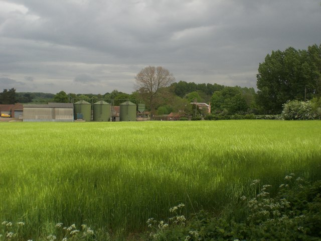
Coxford Images
Images are sourced within 2km of 52.829098/0.735722 or Grid Reference TF8429. Thanks to Geograph Open Source API. All images are credited.


Coxford is located at Grid Ref: TF8429 (Lat: 52.829098, Lng: 0.735722)
Administrative County: Norfolk
District: King's Lynn and West Norfolk
Police Authority: Norfolk
What 3 Words
///slip.tolerable.surely. Near Fakenham, Norfolk
Nearby Locations
Related Wikis
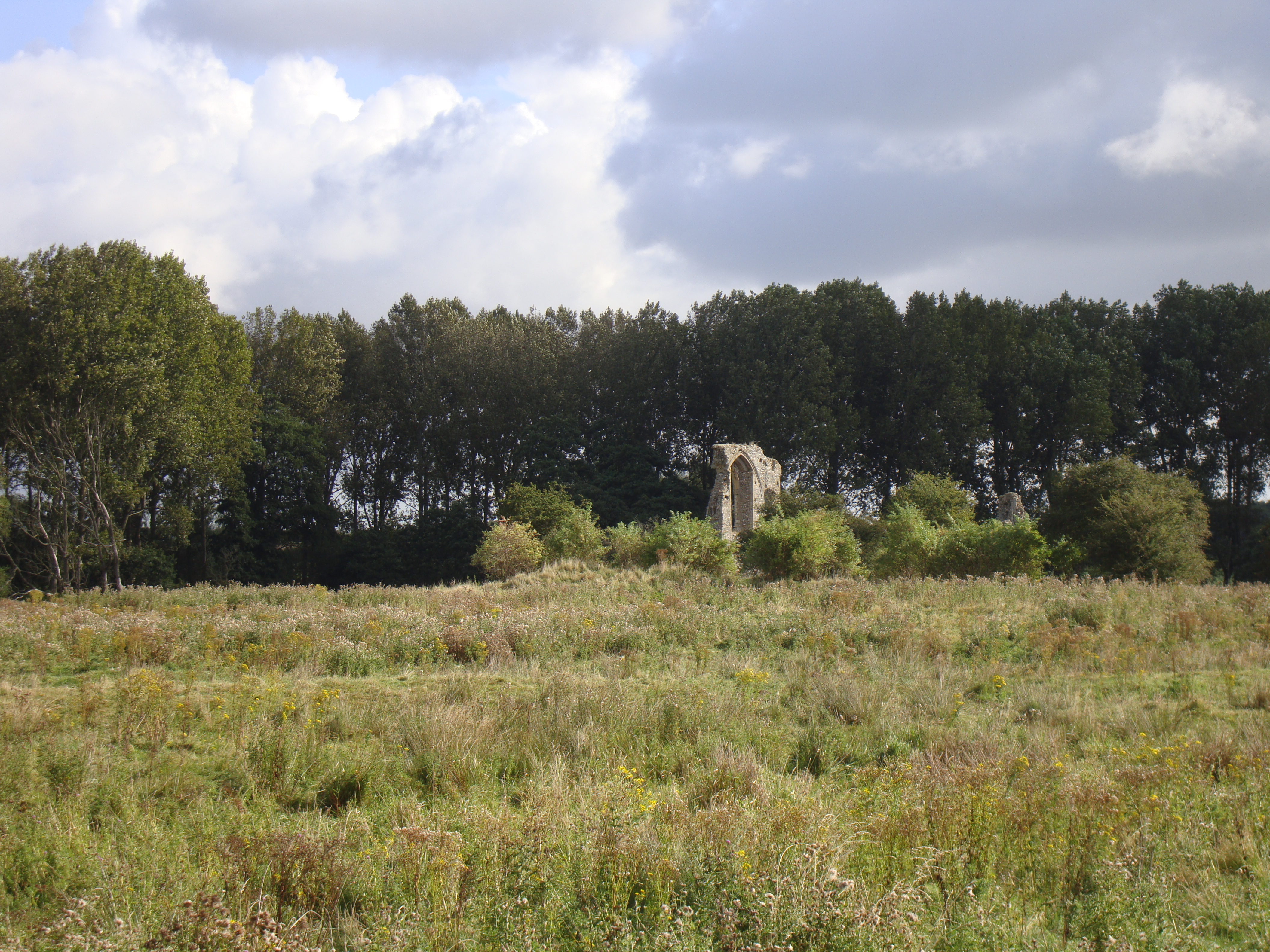
Coxford Priory
Coxford Priory or Broomsthorpe Priory was a monastic house in Norfolk, England. An Augustinian Canons Regular establishment, initially founded around 1140...

Tattersett
Tattersett is a village and civil parish in the English county of Norfolk. It covers an area of 11.38 square kilometres (4.39 square miles), and had a...
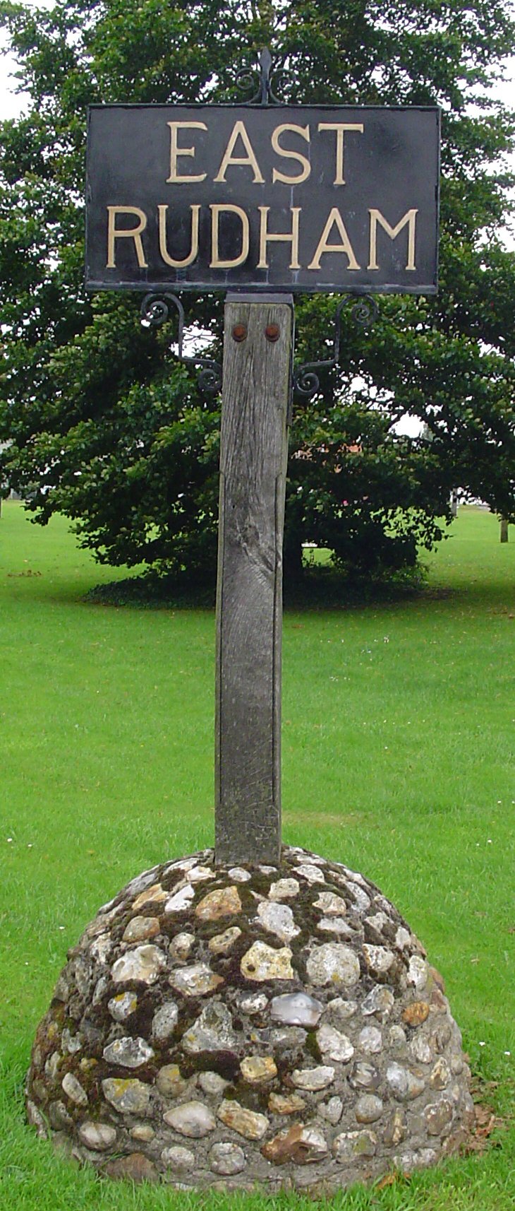
East Rudham
East Rudham is a village and civil parish in the English county of Norfolk. The village is located 14 miles (23 km) north-east of King's Lynn and 28 miles...
Broomsthorpe
Broomsthorpe is a place and former civil parish, now in the parish of East Rudham, in the King's Lynn and West Norfolk district, in the English county...
Nearby Amenities
Located within 500m of 52.829098,0.735722Have you been to Coxford?
Leave your review of Coxford below (or comments, questions and feedback).