Roadhill Wood
Wood, Forest in Wiltshire
England
Roadhill Wood
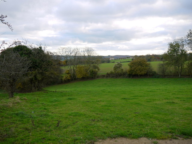
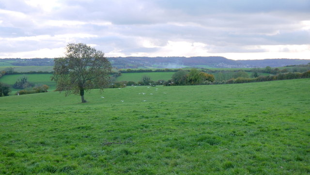
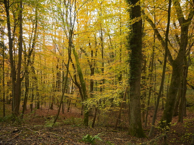
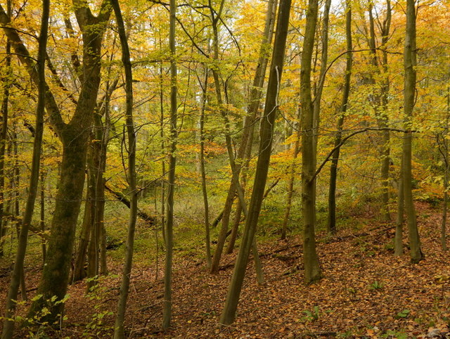
Roadhill Wood is a picturesque forest located in Wiltshire, England. Covering an area of approximately 100 acres, it is known for its diverse flora and fauna, making it a popular destination for nature enthusiasts and hikers alike.
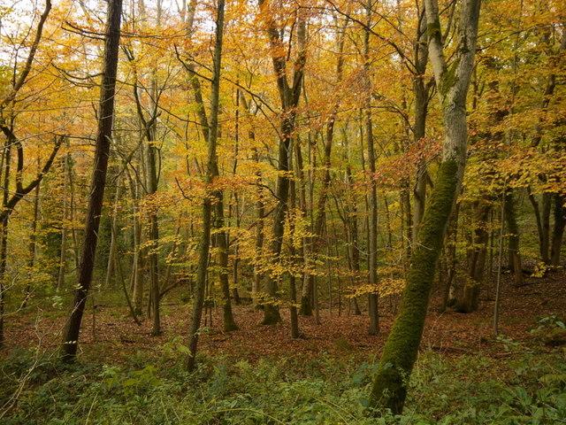
The woodland is predominantly composed of broadleaf trees, such as oak, beech, and ash, which create a dense canopy overhead. The forest floor is adorned with a rich variety of wildflowers, including bluebells, primroses, and wood anemones, providing a vibrant and colorful display during the spring and summer months.
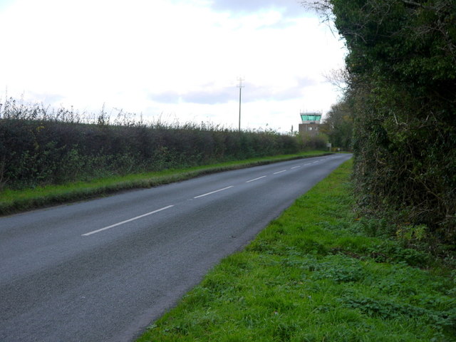
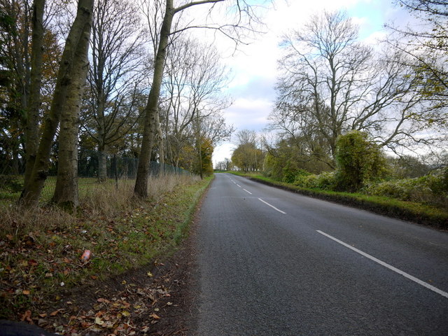
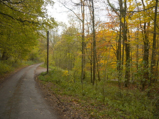
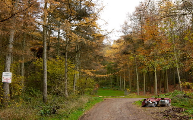
The wood is crisscrossed with several well-maintained footpaths and trails, allowing visitors to explore its natural beauty at their own pace. These paths lead to various points of interest, including a small pond, which is home to a variety of aquatic plants and insects, as well as a diverse range of bird species.
Roadhill Wood is also home to a wide array of wildlife. Commonly observed animals include deer, squirrels, rabbits, and foxes. Birdwatchers will be delighted to spot species such as woodpeckers, nuthatches, and finches.
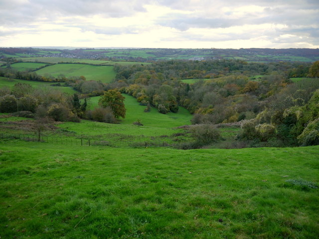
Visitors to the wood can enjoy a peaceful and tranquil atmosphere, perfect for relaxation and contemplation. There are several seating areas and picnic spots scattered throughout the forest, allowing visitors to take in the natural surroundings while enjoying a snack or a quiet moment.
Overall, Roadhill Wood offers a serene and scenic environment for those seeking to immerse themselves in the beauty of nature.
If you have any feedback on the listing, please let us know in the comments section below.
Roadhill Wood Images
Images are sourced within 2km of 51.427274/-2.2847977 or Grid Reference ST8069. Thanks to Geograph Open Source API. All images are credited.


Roadhill Wood is located at Grid Ref: ST8069 (Lat: 51.427274, Lng: -2.2847977)
Unitary Authority: Wiltshire
Police Authority: Wiltshire
What 3 Words
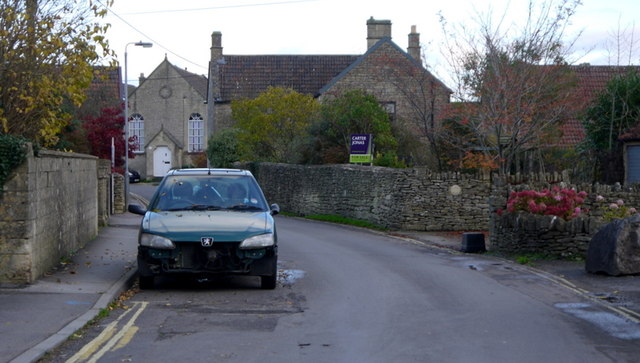
///hides.outraged.brew. Near Colerne, Wiltshire
Nearby Locations
Related Wikis
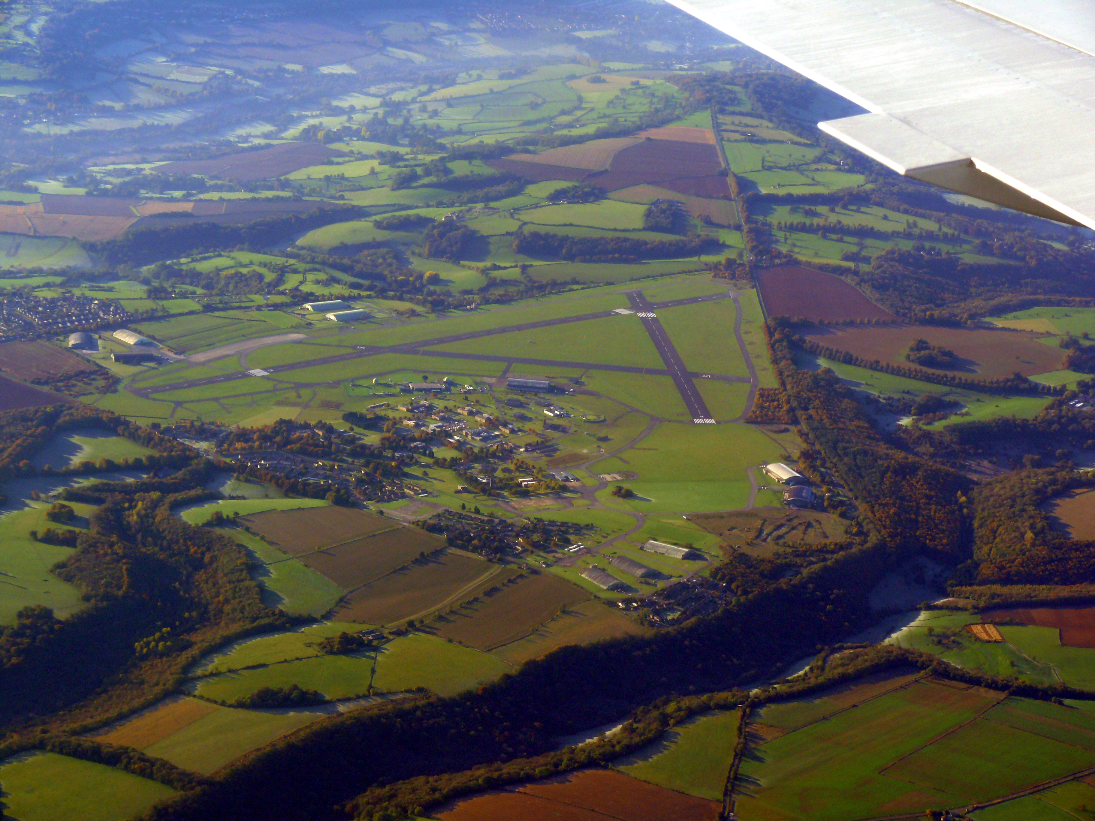
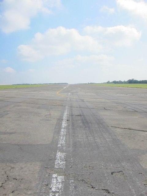
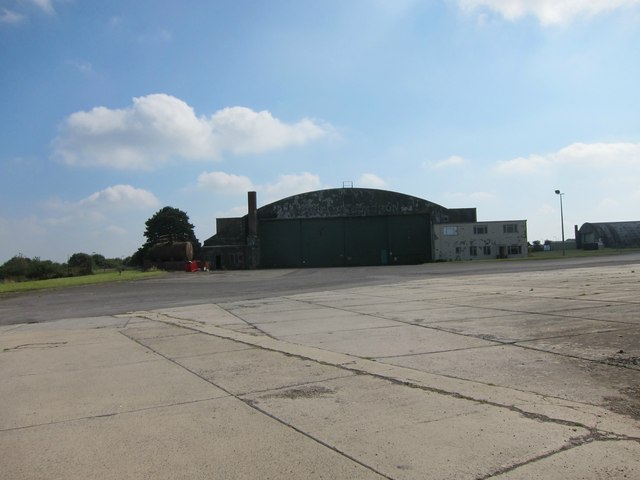
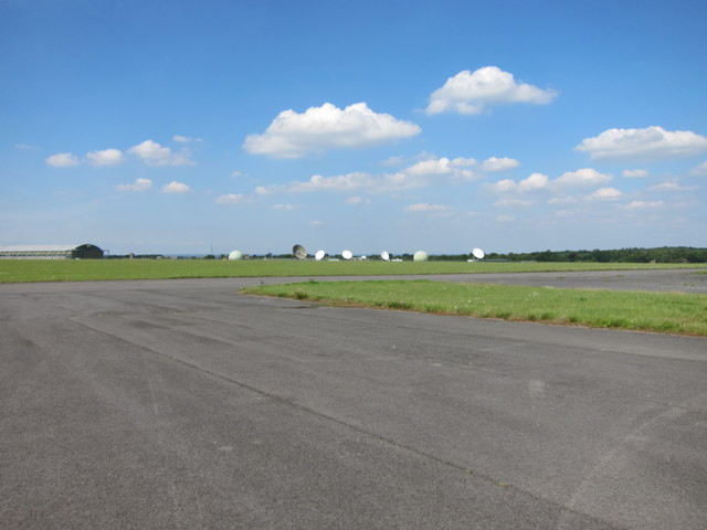
Colerne Airfield
Colerne Airfield (ICAO: EGUO), now known as Azimghur Barracks, is a British Army facility just north-west of the village of Colerne, Wiltshire, England...

Ditteridge
Ditteridge is a village in the civil parish of Box, Wiltshire, England. It is about 0.8 miles (1.3 km) northwest of Box village and 3.5 miles (6 km) west...
RAF Colerne
Royal Air Force Colerne or more simply RAF Colerne is a former Royal Air Force station which was on the outskirts of the village of Colerne in Wiltshire...

Box railway station
Box railway station served the town of Box in Wiltshire, England. The station was on the main Great Western Railway line from London to Bristol and was...

Ashley, Wiltshire
Ashley is a small village in the civil parish of Box in Wiltshire, England. Its nearest town is Corsham, which lies approximately 3.5 miles (5.6 km) east...

Colerne
Colerne is a village and civil parish in north Wiltshire, England. The village is about 3.5 miles (6 km) west of the town of Corsham and 7 miles (11 km...

Box (Mill Lane) Halt railway station
Box (Mill Lane) Halt railway station served the town of Box in Wiltshire, England. The station was on the main Great Western Railway line from London to...

Church of St Thomas à Becket, Box
The Church of St. Thomas à Becket is the Church of England parish church of Box, Wiltshire, in south-west England. It is one of a number of churches named...
Nearby Amenities
Located within 500m of 51.427274,-2.2847977Have you been to Roadhill Wood?
Leave your review of Roadhill Wood below (or comments, questions and feedback).