Stable Wood
Wood, Forest in Yorkshire Ribble Valley
England
Stable Wood
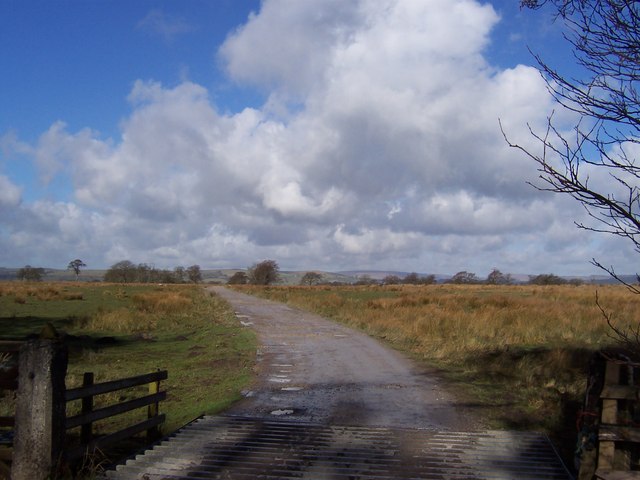
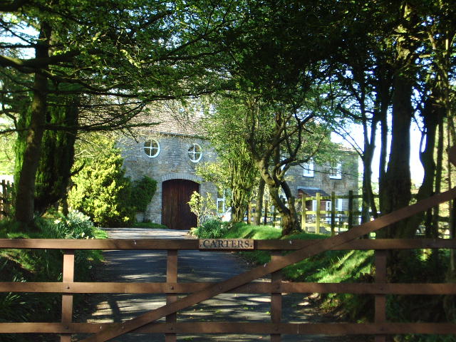
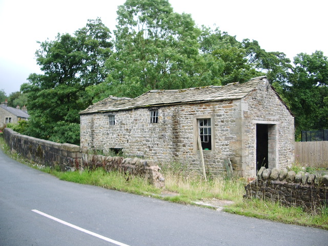
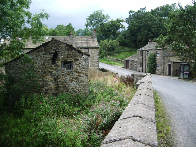
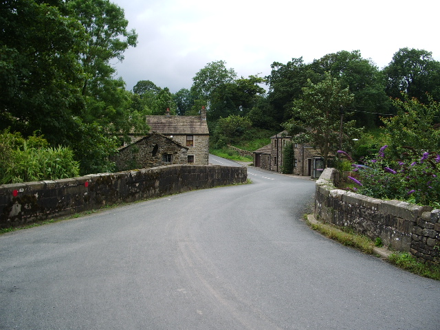
Stable Wood, located in Yorkshire, England, is a picturesque forest renowned for its natural beauty and rich biodiversity. Spanning across a vast area, the wood is a haven for nature enthusiasts and those seeking solace in the serene surroundings.
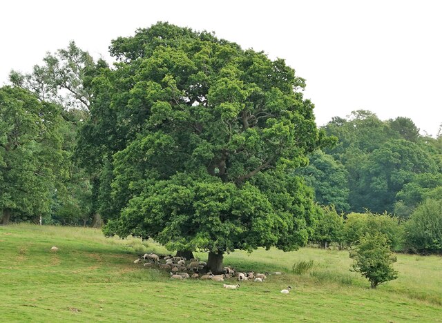
Comprising a mix of deciduous and coniferous trees, Stable Wood boasts a diverse range of flora, including oak, beech, pine, and birch. The dense foliage creates a vibrant and enchanting atmosphere, especially during the summer months when the forest is in full bloom. The vibrant colors and sweet aroma of the wildflowers further enhance the allure of the woodland.
The wood is home to a diverse array of wildlife, making it a popular spot for birdwatching and animal spotting. Visitors may catch a glimpse of various bird species, such as owls, woodpeckers, and jays, while mammal sightings may include foxes, deer, and rabbits. The tranquil environment also attracts smaller creatures like squirrels and hedgehogs.
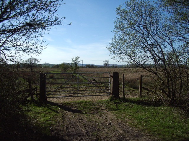
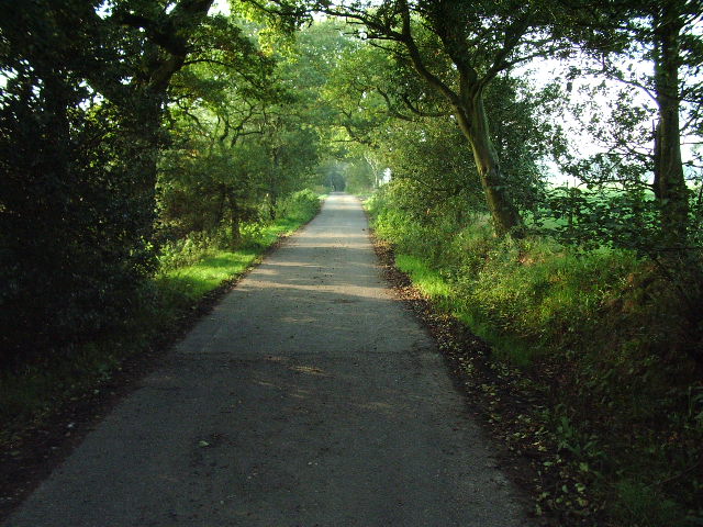
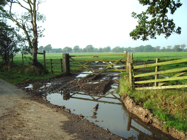
For those seeking recreational activities, Stable Wood offers numerous hiking and walking trails that meander through the forest. These trails provide an opportunity to immerse oneself in nature, discovering hidden gems and enjoying breathtaking vistas. Additionally, the wood is equipped with picnic areas, allowing visitors to relax and enjoy a meal amidst the stunning scenery.
Stable Wood is not only a natural wonder but also a site of historical importance. It has been a protected area for centuries, and remnants of ancient settlements and archaeological sites can still be found within its boundaries.
Overall, Stable Wood, Yorkshire, is a captivating destination that offers a harmonious blend of natural beauty, wildlife, and historical significance, making it a must-visit location for nature enthusiasts and history buffs alike.
If you have any feedback on the listing, please let us know in the comments section below.
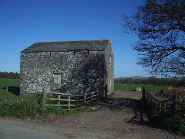
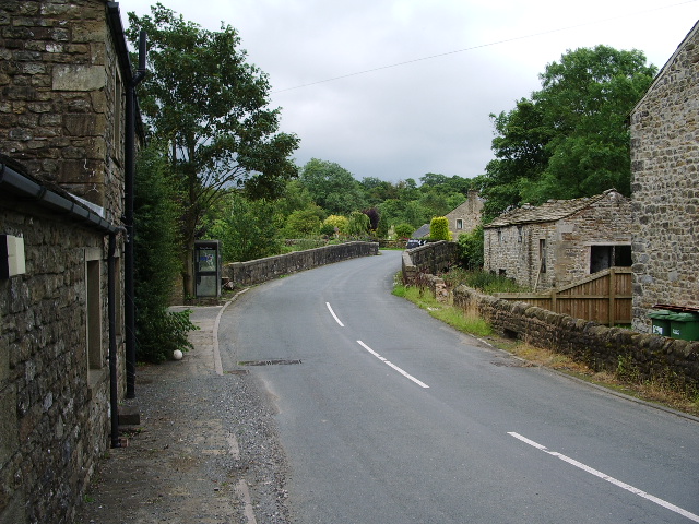
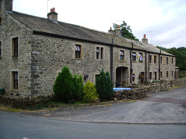
Stable Wood Images
Images are sourced within 2km of 53.949779/-2.3019129 or Grid Reference SD8050. Thanks to Geograph Open Source API. All images are credited.
Stable Wood is located at Grid Ref: SD8050 (Lat: 53.949779, Lng: -2.3019129)
Division: West Riding
Administrative County: Lancashire
District: Ribble Valley
Police Authority: Lancashire
What 3 Words
///walls.helps.plot. Near Chatburn, Lancashire
Nearby Locations
Related Wikis

St Peter and St Paul's Church, Bolton-by-Bowland
St Peter and St Paul's Church is in Gisburn Road, Bolton-by-Bowland, Lancashire, England. It is an active Anglican parish church in the deanery of Whalley...

Bolton-by-Bowland
Bolton-by-Bowland is a village and civil parish in the Ribble Valley district of Lancashire, England. Before 1974, the village was part of Bowland Rural...

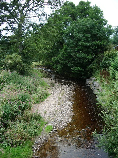
Stock Beck
Stock Beck is a minor river in the West Craven area of Pendle, Lancashire (formerly in Yorkshire). It is 8.25 miles (13.27 km) long and has a catchment...

Gisburne Park
Gisburne Park is an 18th-century country house and associated park in Gisburn, Lancashire, England, in the Ribble Valley some 6 miles (10 km) north-east...

Gisburn railway station
Gisburn railway station served the small village of Gisburn, which is now in Lancashire, England, but was in the West Riding of Yorkshire at the time....

Gisburn Tunnel
Gisburn Tunnel is a short railway tunnel on the Ribble Valley line in Lancashire, England. The tunnel is 157 yards (144 m) long, just to the east of Gisburn...

Paythorne
Paythorne is a small village and civil parish in Ribble Valley, Lancashire, England. It is situated alongside the River Ribble, north-east of Clitheroe...

Gisburn
Gisburn (formerly Gisburne) is a village and civil parish within the Ribble Valley borough of Lancashire, England. Historically within the West Riding...
Related Videos
![Bolton by Bowland Ribble Valley | Walking Tour [4K]](https://i.ytimg.com/vi/BGVI4EJfPFQ/hqdefault.jpg)
Bolton by Bowland Ribble Valley | Walking Tour [4K]
Today's plod takes us on tour to the picturesque Ribble Valley village of Bolton-by-Bowland. This lovely Lancashire village is well ...

Bolton By Bowland Circular Walk v2
I am documenting my return to the Fells after a 13-year absence, in the hope that I can shed a few excess kgs and become fitter ...

Lancashire Footnotes Minisode Sixty - Bolton by Bowland
It used to be called 'Bolton-in-Bowland'. Nowadays it's called 'Bolton-by-Bowland'. Presumably at some point or other in the ...
Nearby Amenities
Located within 500m of 53.949779,-2.3019129Have you been to Stable Wood?
Leave your review of Stable Wood below (or comments, questions and feedback).