Lodge Belt
Wood, Forest in Yorkshire Ribble Valley
England
Lodge Belt
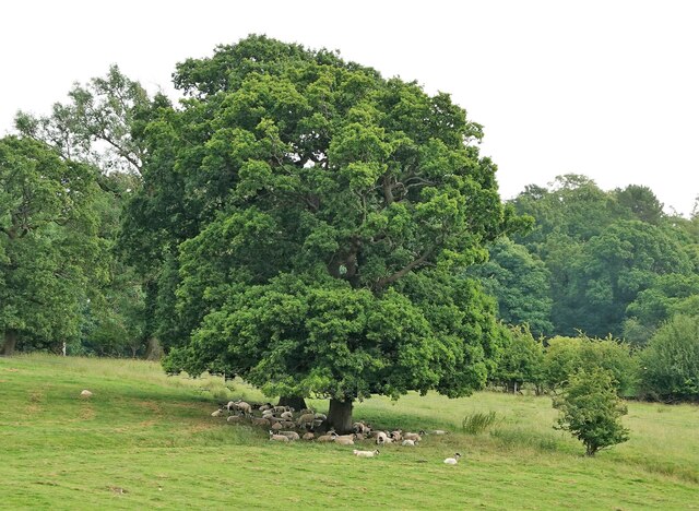
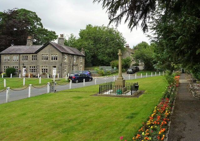
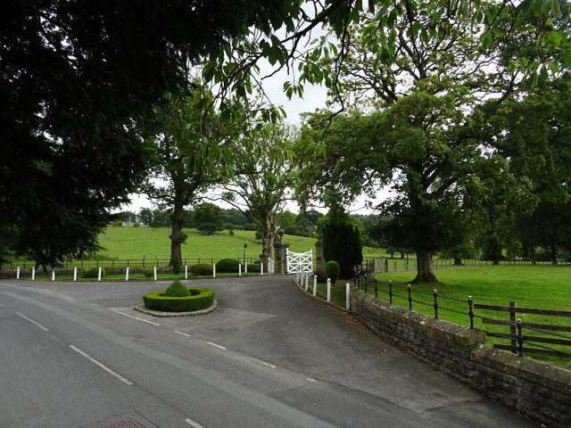
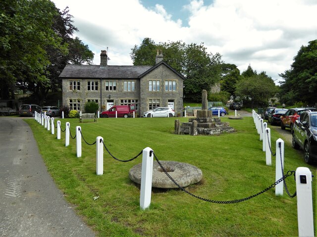
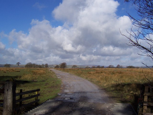
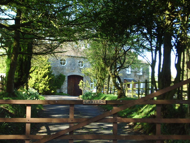
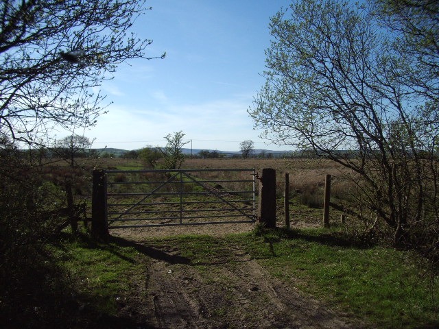
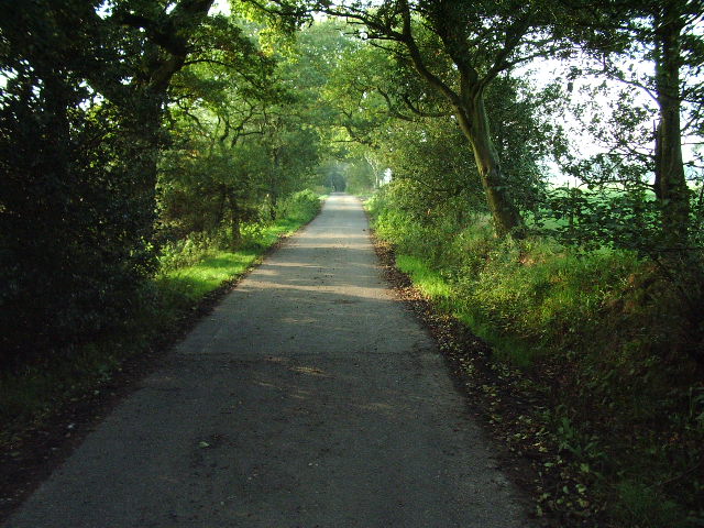
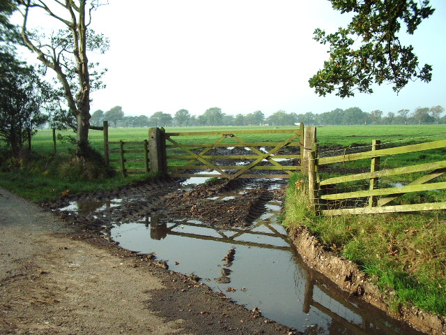
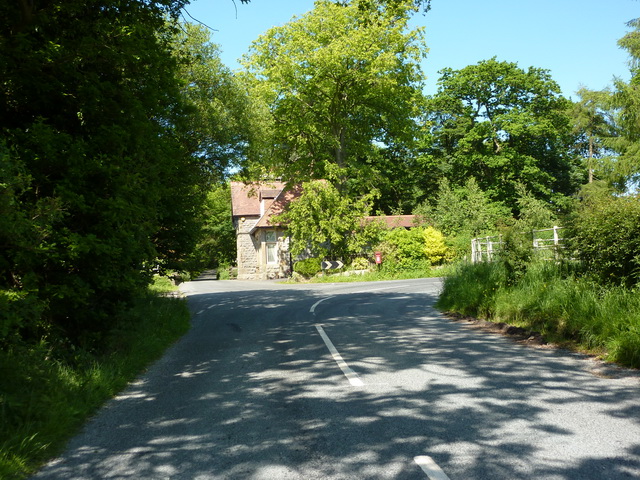
Lodge Belt, Yorkshire, is a picturesque woodland area located in the heart of the county. Covering a vast expanse of land, it is known for its dense forest and abundant wildlife, making it a popular destination for nature enthusiasts and hikers alike.
The woodland is primarily composed of towering oak, beech, and birch trees, creating a lush canopy that provides shade and shelter for the various species that call this place their home. The forest floor is carpeted with a thick layer of moss, ferns, and wildflowers, adding to its enchanting beauty.
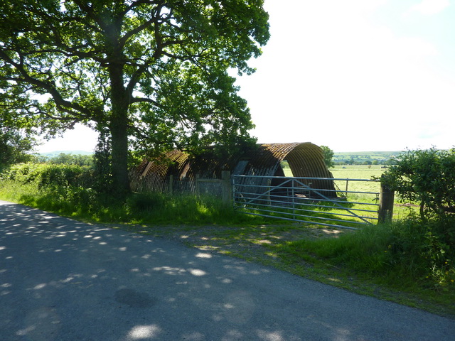
Lodge Belt is teeming with wildlife, offering visitors the opportunity to spot a diverse range of creatures. Among the inhabitants of this woodland are red deer, foxes, badgers, and a variety of bird species, including owls, woodpeckers, and songbirds. It is not uncommon to hear the melodic chirping of birds or catch a glimpse of a deer gracefully roaming through the trees.
For those seeking outdoor activities, Lodge Belt offers an extensive network of well-maintained trails and paths, allowing visitors to explore the woodland at their own pace. These trails cater to different levels of difficulty, ensuring that both beginners and experienced hikers can enjoy the beauty of the forest.
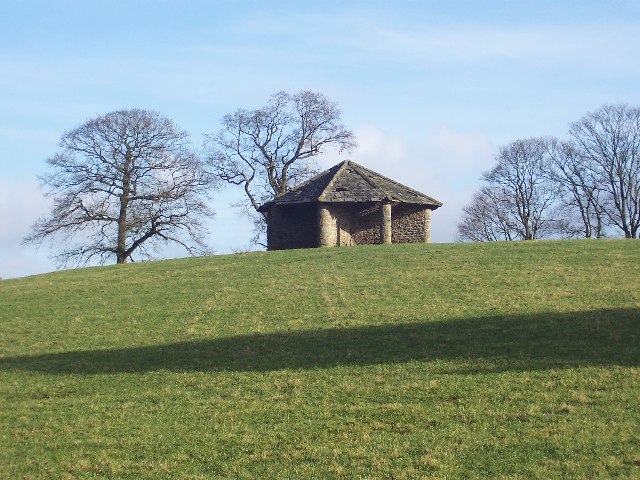
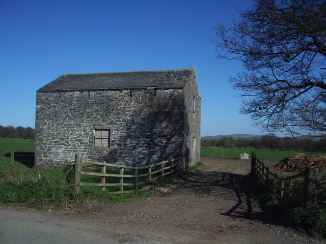
In addition to its natural beauty, Lodge Belt also boasts a rich historical significance. The woodland has been preserved for centuries and was once used as a hunting ground for nobles and aristocrats. Today, remnants of ancient hunting lodges and stone structures can still be found within the forest, serving as a reminder of its past.
Overall, Lodge Belt, Yorkshire, is a captivating woodland that offers a tranquil escape from the hustle and bustle of everyday life. Its lush vegetation, abundance of wildlife, and historical charm make it a must-visit destination for nature lovers and history enthusiasts alike.
If you have any feedback on the listing, please let us know in the comments section below.
Lodge Belt Images
Images are sourced within 2km of 53.947937/-2.3014578 or Grid Reference SD8050. Thanks to Geograph Open Source API. All images are credited.
Lodge Belt is located at Grid Ref: SD8050 (Lat: 53.947937, Lng: -2.3014578)
Division: West Riding
Administrative County: Lancashire
District: Ribble Valley
Police Authority: Lancashire
What 3 Words
///drifters.beard.outfit. Near Chatburn, Lancashire
Nearby Locations
Related Wikis

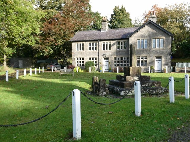
St Peter and St Paul's Church, Bolton-by-Bowland
St Peter and St Paul's Church is in Gisburn Road, Bolton-by-Bowland, Lancashire, England. It is an active Anglican parish church in the deanery of Whalley...

Bolton-by-Bowland
Bolton-by-Bowland is a village and civil parish in the Ribble Valley district of Lancashire, England. Before 1974, the village was part of Bowland Rural...

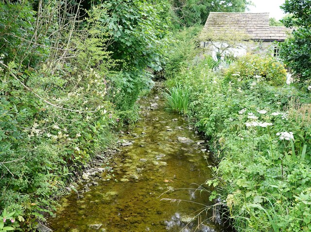
Stock Beck
Stock Beck is a minor river in the West Craven area of Pendle, Lancashire (formerly in Yorkshire). It is 8.25 miles (13.27 km) long and has a catchment...

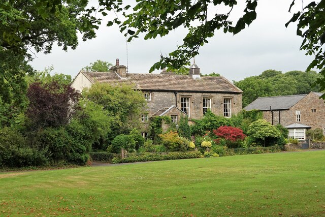
Gisburne Park
Gisburne Park is an 18th-century country house and associated park in Gisburn, Lancashire, England, in the Ribble Valley some 6 miles (10 km) north-east...

Gisburn railway station
Gisburn railway station served the small village of Gisburn, which is now in Lancashire, England, but was in the West Riding of Yorkshire at the time....

Gisburn Tunnel
Gisburn Tunnel is a short railway tunnel on the Ribble Valley line in Lancashire, England. The tunnel is 157 yards (144 m) long, just to the east of Gisburn...

Gisburn
Gisburn (formerly Gisburne) is a village and civil parish within the Ribble Valley borough of Lancashire, England. Historically within the West Riding...

Paythorne
Paythorne is a small village and civil parish in Ribble Valley, Lancashire, England. It is situated alongside the River Ribble, north-east of Clitheroe...
Related Videos
![Bolton by Bowland Ribble Valley | Walking Tour [4K]](https://i.ytimg.com/vi/BGVI4EJfPFQ/hqdefault.jpg)
Bolton by Bowland Ribble Valley | Walking Tour [4K]
Today's plod takes us on tour to the picturesque Ribble Valley village of Bolton-by-Bowland. This lovely Lancashire village is well ...

Bolton By Bowland Circular Walk v2
I am documenting my return to the Fells after a 13-year absence, in the hope that I can shed a few excess kgs and become fitter ...
Lancashire Footnotes Minisode Sixty - Bolton by Bowland
It used to be called 'Bolton-in-Bowland'. Nowadays it's called 'Bolton-by-Bowland'. Presumably at some point or other in the ...
Nearby Amenities
Located within 500m of 53.947937,-2.3014578Have you been to Lodge Belt?
Leave your review of Lodge Belt below (or comments, questions and feedback).