Grubbin's Wood

Wood, Forest in Somerset

England

Grubbin's Wood

Pastures above the Lid Brook Valley View south of the Bath Road, west of Colerne.
Pastures above the Lid Brook Valley Credit: Jonathan Billinger

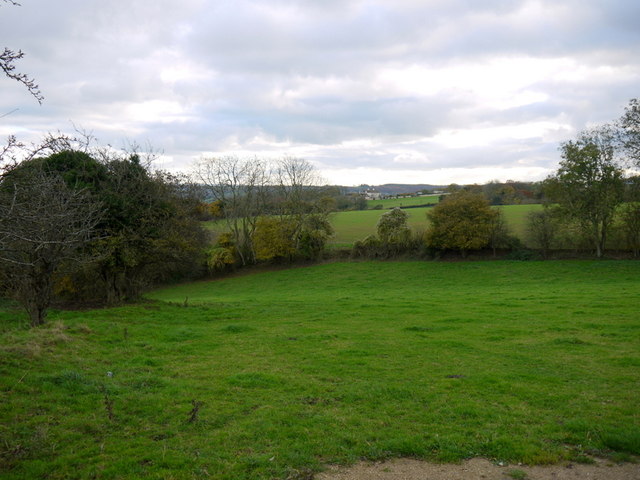
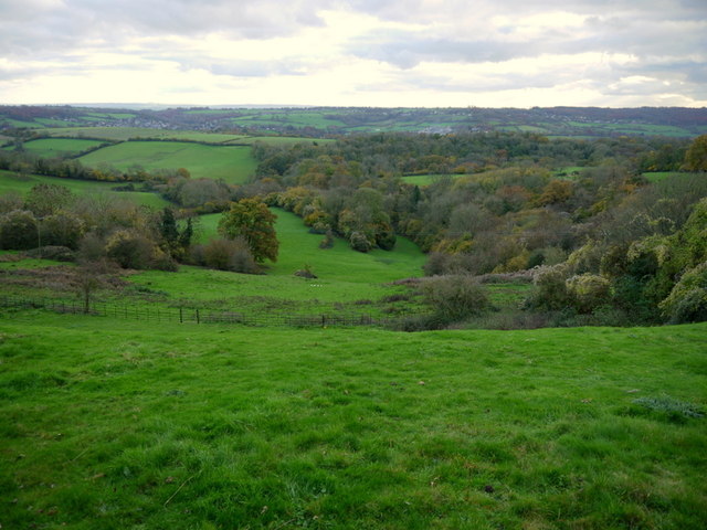
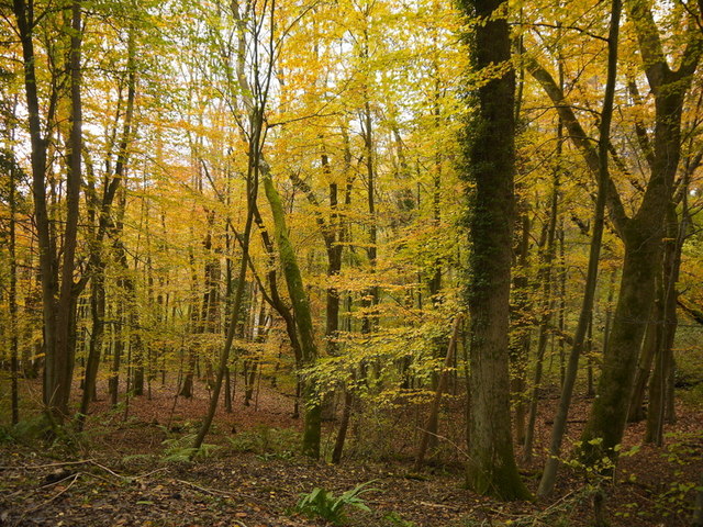
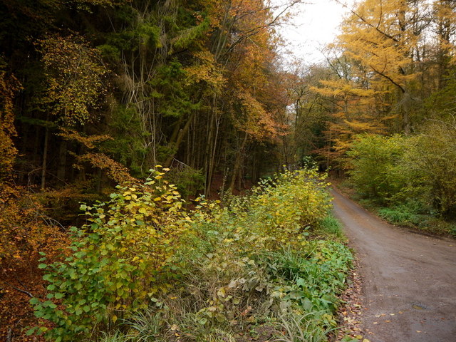
Grubbin's Wood is a charming woodland located in Somerset, England. Covering an area of approximately 100 acres, it is a popular destination for nature enthusiasts and those seeking tranquility amidst the beauty of nature.

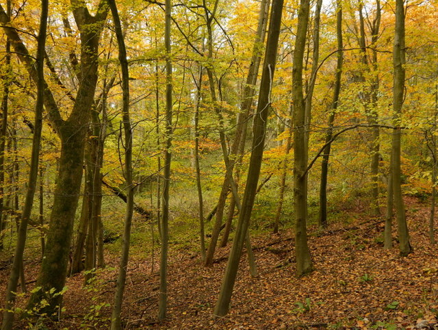
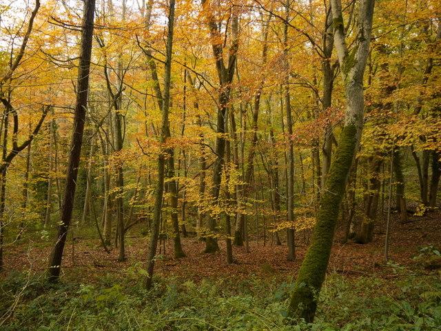
The wood is characterized by its diverse range of trees, including oak, beech, birch, and hazel, which creates a rich canopy providing shade and shelter. These trees also attract a variety of bird species, making it a haven for birdwatchers. The peaceful ambiance of the wood is further enhanced by the presence of a gentle stream that meanders through its heart, adding to the overall serenity of the surroundings.

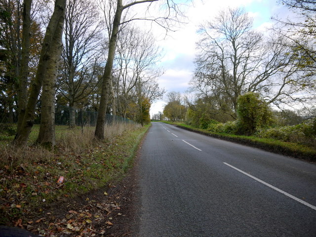
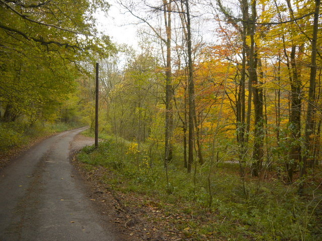
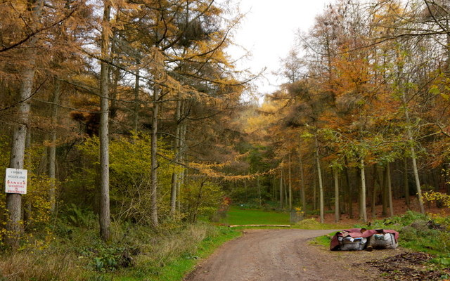
Grubbin's Wood offers several walking trails of varying lengths, allowing visitors to explore its natural wonders at their own pace. These well-maintained paths wind through the wood, offering glimpses of wildflowers, ferns, and moss-covered rocks along the way. Nature enthusiasts will also appreciate the abundance of wildlife that calls the wood home, including deer, foxes, and rabbits.

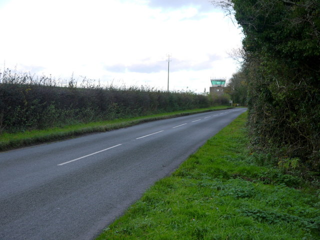
The wood is open to the public year-round, and visitors are encouraged to respect the natural environment by adhering to the designated trails and leaving no trace behind. Additionally, the wood is a popular spot for picnickers, with several designated areas providing an ideal setting for a leisurely outdoor meal.

With its picturesque setting and diverse flora and fauna, Grubbin's Wood in Somerset is a true gem for those seeking a peaceful retreat in nature.

If you have any feedback on the listing, please let us know in the comments section below.

Grubbin's Wood Images

Images are sourced within 2km of 51.423026/-2.2863677 or Grid Reference ST8069. Thanks to Geograph Open Source API. All images are credited.

Pastures above the Lid Brook Valley View south of the Bath Road, west of Colerne.
Pastures above the Lid Brook Valley
View south of the Bath Road, west of Colerne.
Bath Road Heading east towards Colerne.
The control tower for Colerne Airfield can be seen over the hedge, and in the next square north.
Bath Road
Heading east towards Colerne. The control tower for Colerne Airfield can be seen over the hedge, and in the next square north.
Bath Road, Colerne The road grazes the southern edge of the Gridsquare.
looking east towards Colerne.
Bath Road, Colerne
The road grazes the southern edge of the Gridsquare. looking east towards Colerne.
Bowl of landscape Part of the Lid Brook valley to the south of Colerne.
Land-use is mainly pasture and woodland.
Bowl of landscape
Part of the Lid Brook valley to the south of Colerne. Land-use is mainly pasture and woodland.
The SW end of the main runway on Colerne airfield
Little used hangars on the periphery of Colerne airfield
Fields Near Hunters Hall Hunters Hall now a residence that in earlier times was a working farm is hidden in the trees on the left of the image. The Fosse Way is behind the hedge on the left.
This field has recently been ploughed and seeded and still shows the straw waste from this years crop.
Fields Near Hunters Hall
Hunters Hall now a residence that in earlier times was a working farm is hidden in the trees on the left of the image. The Fosse Way is behind the hedge on the left. This field has recently been ploughed and seeded and still shows the straw waste from this years crop.
Gold in Diamond Wood, 1 The beeches here are approaching their peak of colour this November 2013.
Gold in Diamond Wood, 1
The beeches here are approaching their peak of colour this November 2013.
Gold in Diamond Wood, 2 The beeches here are approaching their peak of colour this November 2013.
Gold in Diamond Wood, 2
The beeches here are approaching their peak of colour this November 2013.
Gold in Diamond Wood, 3 The beeches here are approaching their peak of colour this November 2013.
Gold in Diamond Wood, 3
The beeches here are approaching their peak of colour this November 2013.
Oakford Lane Minor road that descends through beech woodland to Motcombe on the southern edge of the Cotswolds.
Oakford Lane
Minor road that descends through beech woodland to Motcombe on the southern edge of the Cotswolds.
Beeches of Bandywell Wood The colour is peaking this week in November 2013.
Beeches of Bandywell Wood
The colour is peaking this week in November 2013.
Bandywell Wood Colour is provided by beech and larch.
The sign warns that shooting takes place in this privately-owned woodland.
Bandywell Wood
Colour is provided by beech and larch. The sign warns that shooting takes place in this privately-owned woodland.
Bandywell Bottom Dry valley in woodland viewed from Oakwood Lane.
Bandywell Bottom
Dry valley in woodland viewed from Oakwood Lane.
Oakwood Lane Looking uphill from Bandywell Bottom.
Oakwood Lane
Looking uphill from Bandywell Bottom.
Beech woodland; Bandywell Bottom Some young, healthy trees amongst the old.
Beech woodland; Bandywell Bottom
Some young, healthy trees amongst the old.
Path through Cherry Wood View north from Oakford Lane; mostly beech here in full autumn colour.
Path through Cherry Wood
View north from Oakford Lane; mostly beech here in full autumn colour.
Oakford Lane, 1 Looking downhill through larch and beechwood.
Oakford Lane, 1
Looking downhill through larch and beechwood.
Show me another place!

Grubbin's Wood is located at Grid Ref: ST8069 (Lat: 51.423026, Lng: -2.2863677)

Unitary Authority: Bath and North East Somerset

Police Authority: Avon and Somerset

What 3 Words

///argued.foremost.beanbag. Near Colerne, Wiltshire

Related Wikis

Box railway station

Box railway station served the town of Box in Wiltshire, England. The station was on the main Great Western Railway line from London to Bristol and was...

Ditteridge

Ditteridge is a village in the civil parish of Box, Wiltshire, England. It is about 0.8 miles (1.3 km) northwest of Box village and 3.5 miles (6 km) west...

Ashley, Wiltshire

Ashley is a small village in the civil parish of Box in Wiltshire, England. Its nearest town is Corsham, which lies approximately 3.5 miles (5.6 km) east...
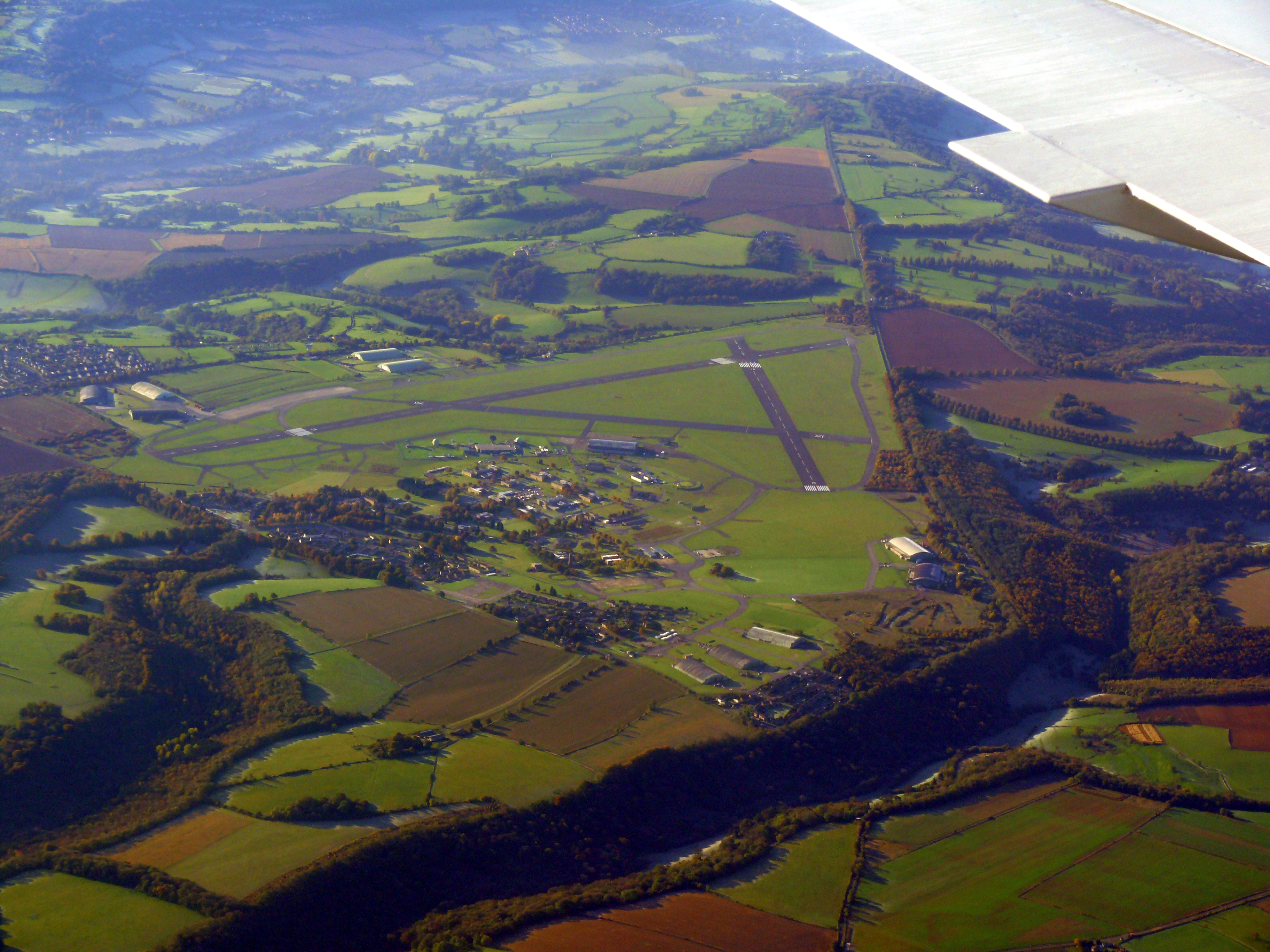
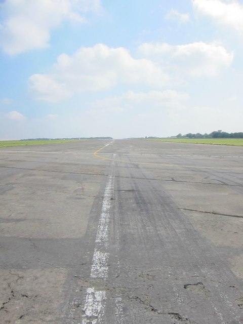
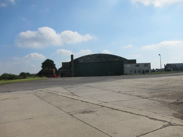
Colerne Airfield

Colerne Airfield (ICAO: EGUO), now known as Azimghur Barracks, is a British Army facility just north-west of the village of Colerne, Wiltshire, England...

RAF Colerne

Royal Air Force Colerne or more simply RAF Colerne is a former Royal Air Force station which was on the outskirts of the village of Colerne in Wiltshire...

Church of St Thomas à Becket, Box

The Church of St. Thomas à Becket is the Church of England parish church of Box, Wiltshire, in south-west England. It is one of a number of churches named...

Box (Mill Lane) Halt railway station

Box (Mill Lane) Halt railway station served the town of Box in Wiltshire, England. The station was on the main Great Western Railway line from London to...

Real World Studios

Real World Studios is a residential recording studio complex founded by Peter Gabriel and situated in the old Box Mill building in the village of Box,...

Nearby Amenities

Located within 500m of 51.423026,-2.2863677
The data included in this document is from www.openstreetmap.org. The data is made available under ODbL.

Have you been to Grubbin's Wood?

Leave your review of Grubbin's Wood below (or comments, questions and feedback).