Humphreys Wood

Wood, Forest in Cheshire

England

Humphreys Wood

Manchester Airport Manchester Airport lies approximately 8½ miles to the south west of Manchester city centre. It is the largest, and busiest, airport in the UK outside the London area. The airport comprises three terminals and a goods terminal and provides flights to over 200 destinations. It is the only British airport other than London Heathrow to operate two runways over 3,000 m (9,843 ft) in length. 

The airport officially opened (as Ringway Airport) in 1938. During the war, it was called RAF Ringway and, between 1975 and 1986, Manchester International Airport. It is owned and managed by the Manchester Airports Group (MAG) which is a holding company owned by the ten metropolitan borough councils of Greater Manchester. The airport has good transport links and is served by the M56 motorway and by Manchester Airport railway station which provides extensive rail connections. The Metrolink tramway extension opened in November 2014, providing a tram link between the airport and the city centre.
Manchester Airport Credit: Lauren

Humphreys Wood is a picturesque forest located in the county of Cheshire, England. Covering an area of approximately 50 acres, it is a haven of natural beauty and tranquility for both locals and tourists alike. The wood is situated near the village of Humphreys, hence its name, and is easily accessible by road.

The forest is densely populated with a variety of tree species, including oak, beech, and birch, creating a rich and diverse ecosystem. The tall, majestic trees provide a dense canopy that filters the sunlight, casting enchanting shadows on the forest floor. This creates the perfect habitat for a range of wildlife, from birds and butterflies to deer and foxes.

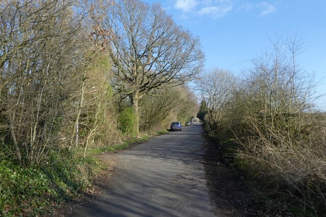
Visitors to Humphreys Wood can explore the forest through a network of well-maintained walking trails. These trails wind their way through the woodland, offering visitors the opportunity to immerse themselves in the sights and sounds of nature. Along the way, hikers may encounter babbling brooks, wildflowers, and even hidden clearings where they can pause and admire the stunning views.

The forest is also a popular spot for nature enthusiasts and photographers, who flock to capture its ethereal beauty throughout the seasons. In spring, the wood bursts to life with a riot of colorful blossoms, while in autumn, the trees transform into a kaleidoscope of reds, oranges, and yellows. Regardless of the time of year, Humphreys Wood is a haven for those seeking solace in the great outdoors.

Overall, Humphreys Wood in Cheshire is a place of natural wonder, offering visitors a chance to reconnect with nature and escape the hustle and bustle of everyday life.

If you have any feedback on the listing, please let us know in the comments section below.

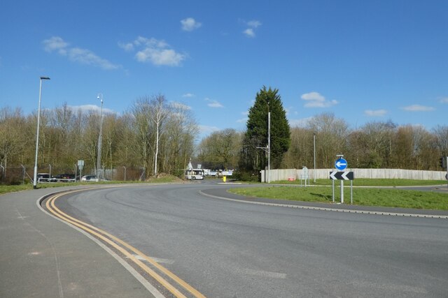
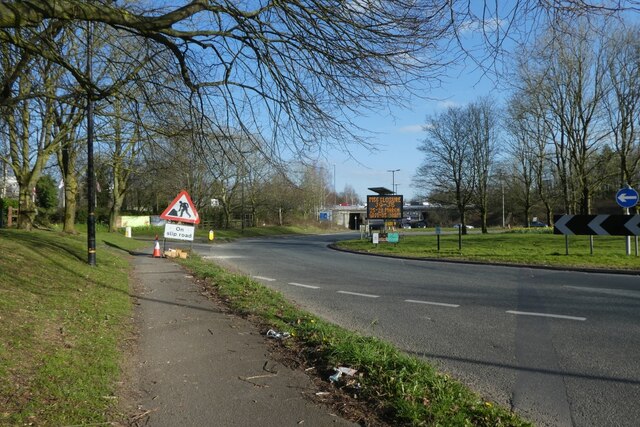
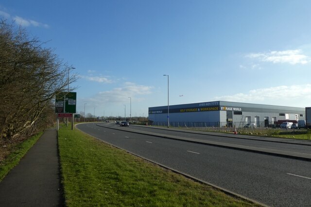
Humphreys Wood Images

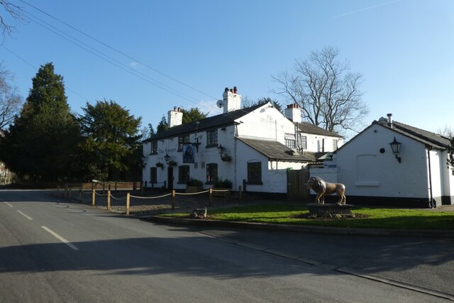
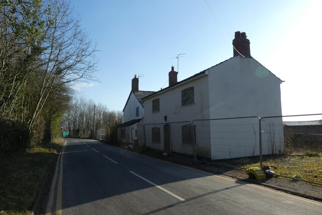
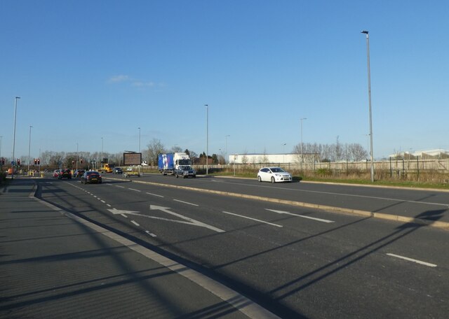
Images are sourced within 2km of 53.370335/-2.3025311 or Grid Reference SJ7985. Thanks to Geograph Open Source API. All images are credited.

Manchester Airport Manchester Airport lies approximately 8½ miles to the south west of Manchester city centre. It is the largest, and busiest, airport in the UK outside the London area. The airport comprises three terminals and a goods terminal and provides flights to over 200 destinations. It is the only British airport other than London Heathrow to operate two runways over 3,000 m (9,843 ft) in length. 

The airport officially opened (as Ringway Airport) in 1938. During the war, it was called RAF Ringway and, between 1975 and 1986, Manchester International Airport. It is owned and managed by the Manchester Airports Group (MAG) which is a holding company owned by the ten metropolitan borough councils of Greater Manchester. The airport has good transport links and is served by the M56 motorway and by Manchester Airport railway station which provides extensive rail connections. The Metrolink tramway extension opened in November 2014, providing a tram link between the airport and the city centre.
Manchester Airport
Manchester Airport lies approximately 8½ miles to the south west of Manchester city centre. It is the largest, and busiest, airport in the UK outside the London area. The airport comprises three terminals and a goods terminal and provides flights to over 200 destinations. It is the only British airport other than London Heathrow to operate two runways over 3,000 m (9,843 ft) in length. The airport officially opened (as Ringway Airport) in 1938. During the war, it was called RAF Ringway and, between 1975 and 1986, Manchester International Airport. It is owned and managed by the Manchester Airports Group (MAG) which is a holding company owned by the ten metropolitan borough councils of Greater Manchester. The airport has good transport links and is served by the M56 motorway and by Manchester Airport railway station which provides extensive rail connections. The Metrolink tramway extension opened in November 2014, providing a tram link between the airport and the city centre.
Premier Inn Manchester Airport Taken from the fourth floor of Premier Inn Runger Lane Manchester Airport.
Premier Inn Manchester Airport
Taken from the fourth floor of Premier Inn Runger Lane Manchester Airport.
Premier Inn Manchester Airport
Holiday Inn Express Manchester Airport
Manchester Airport Manchester Airport lies approximately 8½ miles to the south west of Manchester city centre. It is the largest, and busiest, airport in the UK outside the London area. The airport comprises three terminals and a goods terminal and provides flights to over 200 destinations. It is the only British airport other than London Heathrow to operate two runways over 3,000 m (9,843 ft) in length. 

The airport officially opened (as Ringway Airport) in 1938. During the war, it was called RAF Ringway and, between 1975 and 1986, Manchester International Airport. It is owned and managed by the Manchester Airports Group (MAG) which is a holding company owned by the ten metropolitan borough councils of Greater Manchester. The airport has good transport links and is served by the M56 motorway and by Manchester Airport railway station which provides extensive rail connections. The Metrolink tramway extension opened in November 2014, providing a tram link between the airport and the city centre.
Manchester Airport
Manchester Airport lies approximately 8½ miles to the south west of Manchester city centre. It is the largest, and busiest, airport in the UK outside the London area. The airport comprises three terminals and a goods terminal and provides flights to over 200 destinations. It is the only British airport other than London Heathrow to operate two runways over 3,000 m (9,843 ft) in length. The airport officially opened (as Ringway Airport) in 1938. During the war, it was called RAF Ringway and, between 1975 and 1986, Manchester International Airport. It is owned and managed by the Manchester Airports Group (MAG) which is a holding company owned by the ten metropolitan borough councils of Greater Manchester. The airport has good transport links and is served by the M56 motorway and by Manchester Airport railway station which provides extensive rail connections. The Metrolink tramway extension opened in November 2014, providing a tram link between the airport and the city centre.
Staff South Car-park The burgeoning of Manchester International Airport has necessitated a massive expansion of facilities for staff working there.

The changes over ten years are evident from an earlier photo showing the view towards this area: <a href="https://www.geograph.org.uk/photo/2325471">SJ8084 : Junction of Sunbank Lane and Wilmslow Road, Ringway</a>. (Parking now fills the whole of the land below the former Fairey Aviation works which can be seen at the top right.)
Staff South Car-park
The burgeoning of Manchester International Airport has necessitated a massive expansion of facilities for staff working there. The changes over ten years are evident from an earlier photo showing the view towards this area: SJ8084 : Junction of Sunbank Lane and Wilmslow Road, Ringway. (Parking now fills the whole of the land below the former Fairey Aviation works which can be seen at the top right.)
Back in business The historic Romper pub has survived the Virus and is open to customers.
Back in business
The historic Romper pub has survived the Virus and is open to customers.
Airport services On the southwest fringe of Manchester International - still locally referred to as 'Ringway': its name at the time of the second world war and that of the local parish whose church survives nearby.
Airport services
On the southwest fringe of Manchester International - still locally referred to as 'Ringway': its name at the time of the second world war and that of the local parish whose church survives nearby.
Hanging on Hard to tell whether this cottage - in the shadow of Manchester Airport - is due for restoration or demolition: it has been this way for years. Were it sited elsewhere in Ringway or Hale Barns it would be snapped up for desirable housing.
Hanging on
Hard to tell whether this cottage - in the shadow of Manchester Airport - is due for restoration or demolition: it has been this way for years. Were it sited elsewhere in Ringway or Hale Barns it would be snapped up for desirable housing.
Palma Avenue Looking towards the roundabout near Terminal 2.
Palma Avenue
Looking towards the roundabout near Terminal 2.
Roundabout near Thorley Lane Looking across the roundabout connecting to Terminal 2.
Roundabout near Thorley Lane
Looking across the roundabout connecting to Terminal 2.
Hasty Lane Looking along Hasty Lane having passed under the M56.
Hasty Lane
Looking along Hasty Lane having passed under the M56.
Path beside Wilmslow Road roundabout Looking along a path beside one of the roundabouts at the M56 junction.
Path beside Wilmslow Road roundabout
Looking along a path beside one of the roundabouts at the M56 junction.
Large buildings along Wilmslow Road Looking along Wilmslow Road with a self storage unit opposite.
Large buildings along Wilmslow Road
Looking along Wilmslow Road with a self storage unit opposite.
Wilmslow Old Road Looking along the old road just after the path connecting to the new road.
Wilmslow Old Road
Looking along the old road just after the path connecting to the new road.
The Romper Public house on Wilmslow Old Road.
The Romper
Public house on Wilmslow Old Road.
Fenced off building On Wilmslow Old Road.
Fenced off building
On Wilmslow Old Road.
Junction on Wilmslow Road Looking along Wilmslow Road towards the junction with Gannet Way.
Junction on Wilmslow Road
Looking along Wilmslow Road towards the junction with Gannet Way.
Show me another place!

Humphreys Wood is located at Grid Ref: SJ7985 (Lat: 53.370335, Lng: -2.3025311)

Unitary Authority: Trafford

Police Authority: Greater Manchester

What 3 Words

///emerge.mattress.artichoke. Near Hale, Manchester

Related Wikis

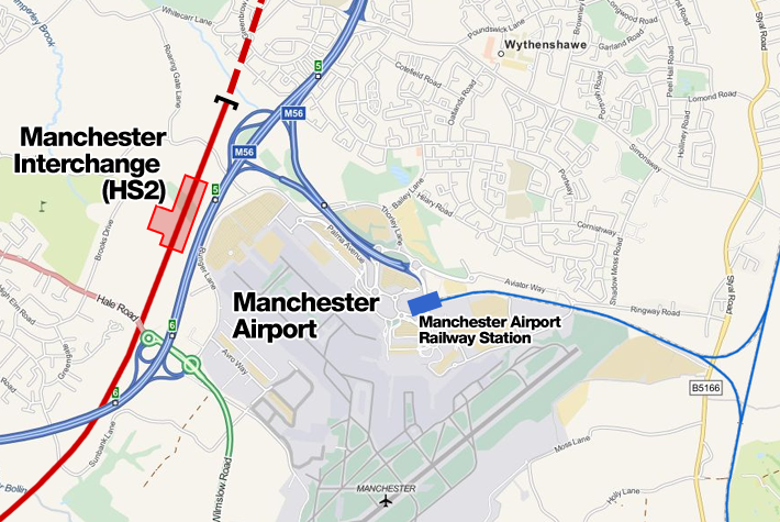
Manchester Airport High Speed station

Manchester Airport High Speed Station was a planned High Speed 2 station at Manchester Airport, on the southern boundary of Manchester, England, next to...

Hale Barns

Hale Barns is a village near Altrincham in Greater Manchester, England, 7 miles (11 km) south-west of Manchester city centre, 2 miles west of Manchester...

St Ambrose College

St Ambrose College is a Christian Brothers' Roman Catholic boys' grammar school in Hale Barns, Altrincham, Greater Manchester, England. It was founded...

Warburton Green

Warburton Green is a district of Hale Barns, Greater Manchester. It is situated to the south east of the centre of the village, close to the M56 and River...

Newall Green High School

Newall Green High School was an Academy in Wythenshawe, Manchester, England. In 2015 Newall Green High School became an Academy as part of the CHS Multi...

Royd House

Royd House is a Grade I listed building in Hale, Greater Manchester. It was designed by architect Edgar Wood as his own home and was built between 1914...

Davenport Green tram stop

Davenport Green is a proposed tram stop in Davenport Green, Greater Manchester. It would serve the area of Davenport Green. It has been proposed since...

Wythenshawe Hospital tram stop

Wythenshawe Hospital is a proposed tram stop in Wythenshawe, Greater Manchester. It would serve the hospital with the same name. It has been proposed since...

Nearby Amenities

Located within 500m of 53.370335,-2.3025311
Davenport Green
Place: village
Lat/Long: 53.373203/-2.3003293
Golf: pin
Lat/Long: 53.3664602/-2.305159
Golf: pin
Lat/Long: 53.3682741/-2.3073864
Golf: pin
Lat/Long: 53.3676218/-2.3056262
Golf: pin
Lat/Long: 53.3696047/-2.3034442
Golf: pin
Lat/Long: 53.3712809/-2.3077402
Golf: pin
Lat/Long: 53.3689022/-2.30482
Golf: pin
Lat/Long: 53.3682598/-2.305222
Golf: pin
Lat/Long: 53.3723918/-2.3058992
Golf: pin
Lat/Long: 53.3709324/-2.3045141
Golf: pin
Lat/Long: 53.3723422/-2.3066779
The data included in this document is from www.openstreetmap.org. The data is made available under ODbL.

Have you been to Humphreys Wood?

Leave your review of Humphreys Wood below (or comments, questions and feedback).