Mill Tyning Wood

Wood, Forest in Wiltshire

England

Mill Tyning Wood

Maiden Bradley : Grassy Field A grassy field beyond the gate.
Maiden Bradley : Grassy Field Credit: Lewis Clarke

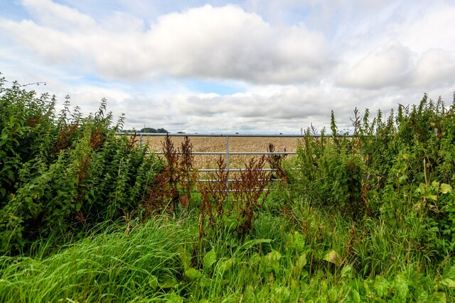
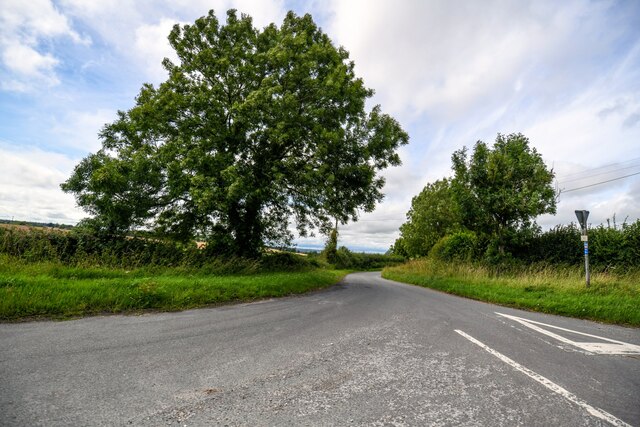
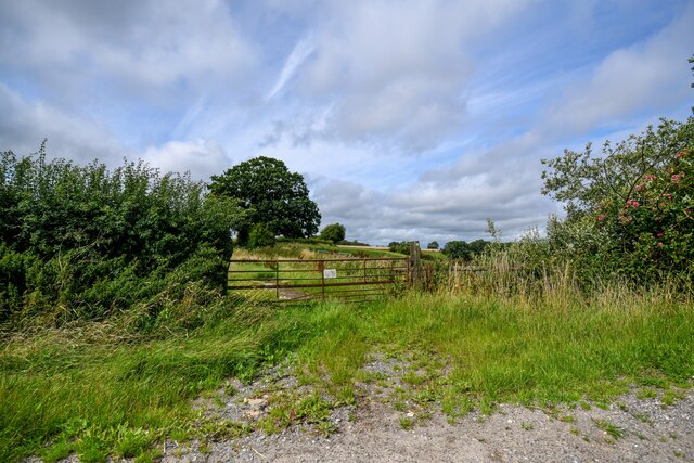
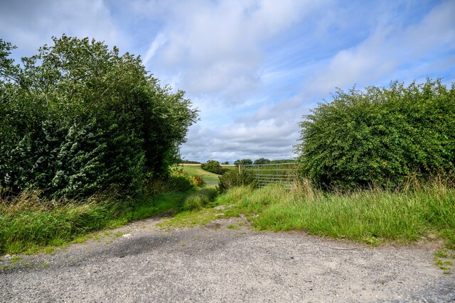
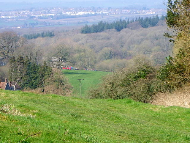
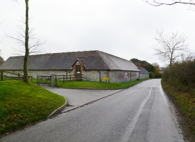
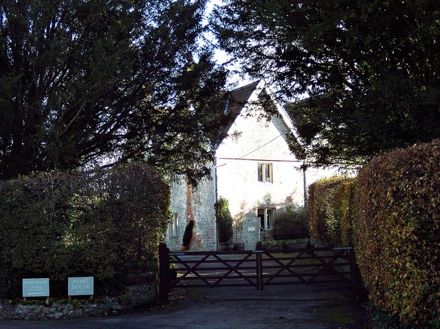
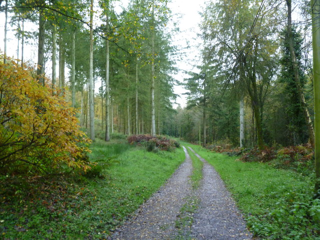
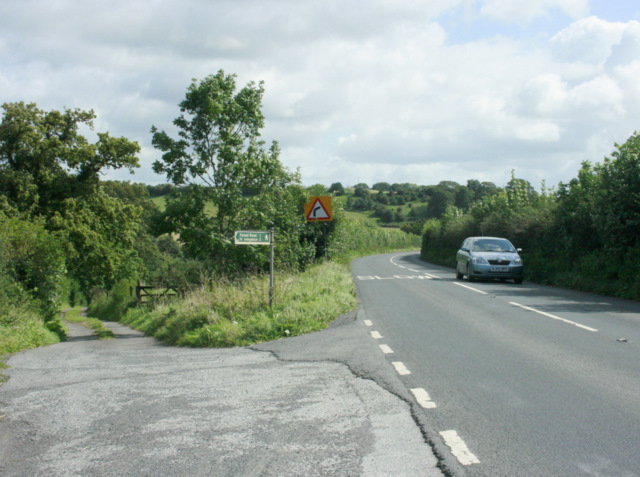
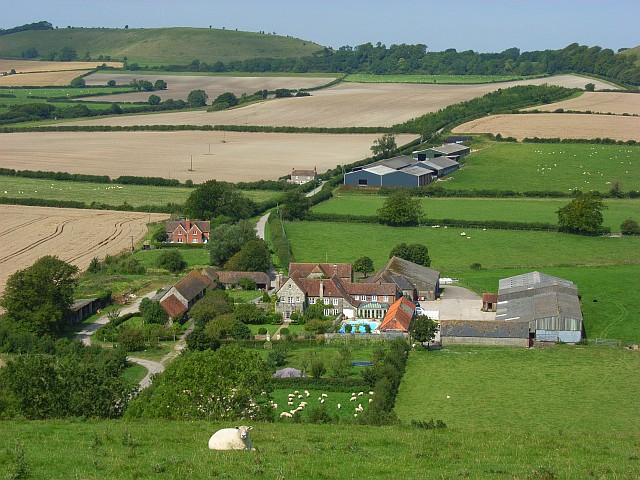
Mill Tyning Wood is a picturesque woodland located in the county of Wiltshire, England. Covering an area of approximately 50 acres, this ancient woodland is nestled in the heart of the beautiful countryside and is a haven for nature enthusiasts and walkers alike.

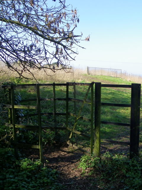
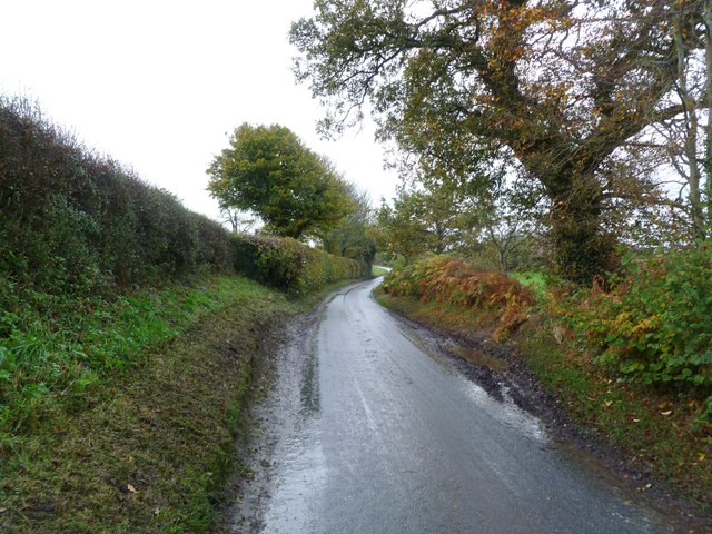
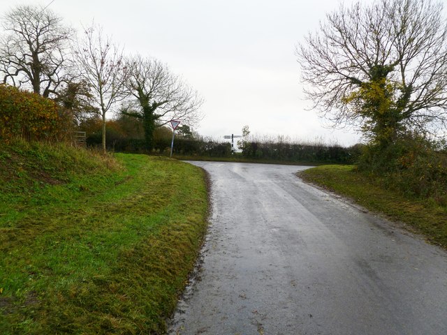
The wood is predominantly composed of mixed deciduous trees, including oak, beech, and ash, which create a diverse and vibrant ecosystem. The dense canopy provides a shaded and tranquil environment, perfect for exploring the natural beauty of the area. Throughout the wood, there are well-maintained footpaths that wind their way through the trees, allowing visitors to easily navigate and appreciate the surroundings.

Mill Tyning Wood is also home to a variety of wildlife, including birds, mammals, and insects. The diverse habitat supports a range of species, such as woodpeckers, deer, and butterflies, making it an ideal location for birdwatching and wildlife spotting.

The wood has historical significance, with evidence of human activity dating back to the Bronze Age. Archaeological finds, including pottery and tools, have been discovered in the area, offering insights into the lives of early inhabitants.

The wood is open to the public and is managed by a local conservation organization. Regular maintenance and conservation efforts are undertaken to preserve the natural beauty and biodiversity of the woodland, ensuring that future generations can continue to enjoy its splendor.

Overall, Mill Tyning Wood offers a tranquil escape from the hustle and bustle of everyday life, providing a peaceful retreat for nature lovers and history enthusiasts alike.

If you have any feedback on the listing, please let us know in the comments section below.

Mill Tyning Wood Images

Images are sourced within 2km of 51.169129/-2.2878518 or Grid Reference ST7941. Thanks to Geograph Open Source API. All images are credited.

Maiden Bradley : Grassy Field A grassy field beyond the gate.
Maiden Bradley : Grassy Field
A grassy field beyond the gate.
Horningham : Road A road heads through the countryside.
Horningham : Road
A road heads through the countryside.
Horningham : Grassy Field Looking beyond the gate and into the field.
Horningham : Grassy Field
Looking beyond the gate and into the field.
Horningsham : Field Entrance Gates provide entry to the field.
Horningsham : Field Entrance
Gates provide entry to the field.
The Corner House, Maiden Bradley The house stands beside the minor road as it enters the village.  There is an Ordnance Survey bench mark on the north west face of the building.
The Corner House, Maiden Bradley
The house stands beside the minor road as it enters the village. There is an Ordnance Survey bench mark on the north west face of the building.
Footpath, Maiden Bradley The footpath heads down hill to join the B3092, Frome Road.  Frome can be seen in the far distance.
Footpath, Maiden Bradley
The footpath heads down hill to join the B3092, Frome Road. Frome can be seen in the far distance.
Kissing gate, Maiden Bradley The kissing gate gives walkers access to the footpath that takes them to the B3092.

The kissing gate is a traditional gate hung in a U or V shape that allows one person to pass at a time. In order for one person to pass fully through the gate they have to close it on the next person. Legend has it that at this point, when the two are on either side of the gate, the person in front ‘refuses’ entry to the second person until presented with a kiss.
Kissing gate, Maiden Bradley
The kissing gate gives walkers access to the footpath that takes them to the B3092. The kissing gate is a traditional gate hung in a U or V shape that allows one person to pass at a time. In order for one person to pass fully through the gate they have to close it on the next person. Legend has it that at this point, when the two are on either side of the gate, the person in front ‘refuses’ entry to the second person until presented with a kiss.
Maiden Bradley, country road From Horningsham to Maiden Bradley; the road also forms the boundary between Horningsham Parish (left) and Maiden Bradley (right).
Maiden Bradley, country road
From Horningsham to Maiden Bradley; the road also forms the boundary between Horningsham Parish (left) and Maiden Bradley (right).
Maiden Bradley, T junction Coming on the minor road from Horningsham; left, to Warminster and Shaftesbury; right, to Maiden Bradley and Frome.
Maiden Bradley, T junction
Coming on the minor road from Horningsham; left, to Warminster and Shaftesbury; right, to Maiden Bradley and Frome.
Maiden Bradley, converted farm Once Perry Farm, now offices of NFU Mutual. <span class="nowrap"><a title="http://www.nfumutual.co.uk/warminster/team.htm" rel="nofollow ugc noopener" href="http://www.nfumutual.co.uk/warminster/team.htm">Link</a><img style="margin-left:2px;" alt="External link" title="External link - shift click to open in new window" src="https://s1.geograph.org.uk/img/external.png" width="10" height="10"/></span>
Maiden Bradley, converted farm
Once Perry Farm, now offices of NFU Mutual. LinkExternal link
Perry Farmhouse MAIDEN BRADLEY HIGH STREET ST 83 NW (south side) Perry Farmhouse Grade: II. Date first listed: 09-Sep-1987. Farmhouse. Circa 1700, altered C19. Rubble stone, rendered south front, triple ridge tiles to 2-span roof, gable end brick stacks. Two-storey, 3-window. Central 6-panelled door in Cl9 gabled stone porch with segmental-arched opening, C19 three-light ovolo- mullioned casement either side, lintel string course. First floor has 3-light original ovolo-mullioned casement either side of central 2-light. Attached to right is 2-storey range with 20-pane and 16-pane sashes. Left return has string courses to first floor and eaves level, C19 two-light ovolo-mullioned casements, several blocked openings to left hand range. Rear has 2-light casements and 2-light ovolo-mullioned casements, ovolo-moulded attic lights with hoodmoulds, one in left hand gable original. Right return has attached lean-to extension, 2-light original ovolo-mullioned casement to first floor. Interior not accessible at time of survey (October 1986). - English Heritage <span class="nowrap"><a title="http://list.english-heritage.org.uk/resultsingle.aspx?uid=1198557" rel="nofollow ugc noopener" href="http://list.english-heritage.org.uk/resultsingle.aspx?uid=1198557">Link</a><img style="margin-left:2px;" alt="External link" title="External link - shift click to open in new window" src="https://s1.geograph.org.uk/img/external.png" width="10" height="10"/></span>

( For full article visit my Maiden Bradley Listed Buildings (etc) site - <span class="nowrap"><a title="https://sites.google.com/site/maidenbradleylistedbuildings/listed/high-street" rel="nofollow ugc noopener" href="https://sites.google.com/site/maidenbradleylistedbuildings/listed/high-street">Link</a><img style="margin-left:2px;" alt="External link" title="External link - shift click to open in new window" src="https://s1.geograph.org.uk/img/external.png" width="10" height="10"/></span> )
Perry Farmhouse
MAIDEN BRADLEY HIGH STREET ST 83 NW (south side) Perry Farmhouse Grade: II. Date first listed: 09-Sep-1987. Farmhouse. Circa 1700, altered C19. Rubble stone, rendered south front, triple ridge tiles to 2-span roof, gable end brick stacks. Two-storey, 3-window. Central 6-panelled door in Cl9 gabled stone porch with segmental-arched opening, C19 three-light ovolo- mullioned casement either side, lintel string course. First floor has 3-light original ovolo-mullioned casement either side of central 2-light. Attached to right is 2-storey range with 20-pane and 16-pane sashes. Left return has string courses to first floor and eaves level, C19 two-light ovolo-mullioned casements, several blocked openings to left hand range. Rear has 2-light casements and 2-light ovolo-mullioned casements, ovolo-moulded attic lights with hoodmoulds, one in left hand gable original. Right return has attached lean-to extension, 2-light original ovolo-mullioned casement to first floor. Interior not accessible at time of survey (October 1986). - English Heritage LinkExternal link ( For full article visit my Maiden Bradley Listed Buildings (etc) site - LinkExternal link )
Maiden Bradley, cattle grazing Next to Dangell's Barn Farm.
Maiden Bradley, cattle grazing
Next to Dangell's Barn Farm.
Maiden Bradley, stubble field Beyond the mud...
Maiden Bradley, stubble field
Beyond the mud...
Maiden Bradley, track & footpath Forestry track with right of way, from Bradley Lane to Gare Hill.
Maiden Bradley, track & footpath
Forestry track with right of way, from Bradley Lane to Gare Hill.
Kate's Bench Farm A view looking northwest across the B3092 Frome Road to Kate's Bench Farm, and Kate's Bench Clump on the skyline behind.
Kate's Bench Farm
A view looking northwest across the B3092 Frome Road to Kate's Bench Farm, and Kate's Bench Clump on the skyline behind.
2009 : Field of ripe wheat near Priory Farm Just waiting for the right water content, a day or two should do it.
Seen from the B3092.
Frome is in the distance to the left.
2009 : Field of ripe wheat near Priory Farm
Just waiting for the right water content, a day or two should do it. Seen from the B3092. Frome is in the distance to the left.
2009 : B3092 Frome Road near Maiden Bradley A little over half a mile to the village.
A farm track and footpath heads off to the left to Horningsham.
2009 : B3092 Frome Road near Maiden Bradley
A little over half a mile to the village. A farm track and footpath heads off to the left to Horningsham.
2009 : Bradley Lane passing Dangell's Barn Farm About half a mile to Maiden Bradley.
2009 : Bradley Lane passing Dangell's Barn Farm
About half a mile to Maiden Bradley.
Show me another place!

Mill Tyning Wood is located at Grid Ref: ST7941 (Lat: 51.169129, Lng: -2.2878518)

Unitary Authority: Wiltshire

Police Authority: Wiltshire

What 3 Words

///most.parade.inspected. Near Kilmington, Wiltshire

Related Wikis

Maiden Bradley Priory

Maiden Bradley Priory was a priory in Wiltshire, England. It was founded as a leper colony in 1164, and in 1189 was handed over to the Augustinian order...

Bradley Woods

Bradley Woods (grid reference ST789410) is an area of woodland in Wiltshire, south of Longleat Woods and north of Gare Hill. A 48.7 hectare area within...

Horningsham

Horningsham is a small village and civil parish in Wiltshire, England, on the county border with Somerset. The village lies about 4 miles (6 km) southwest...
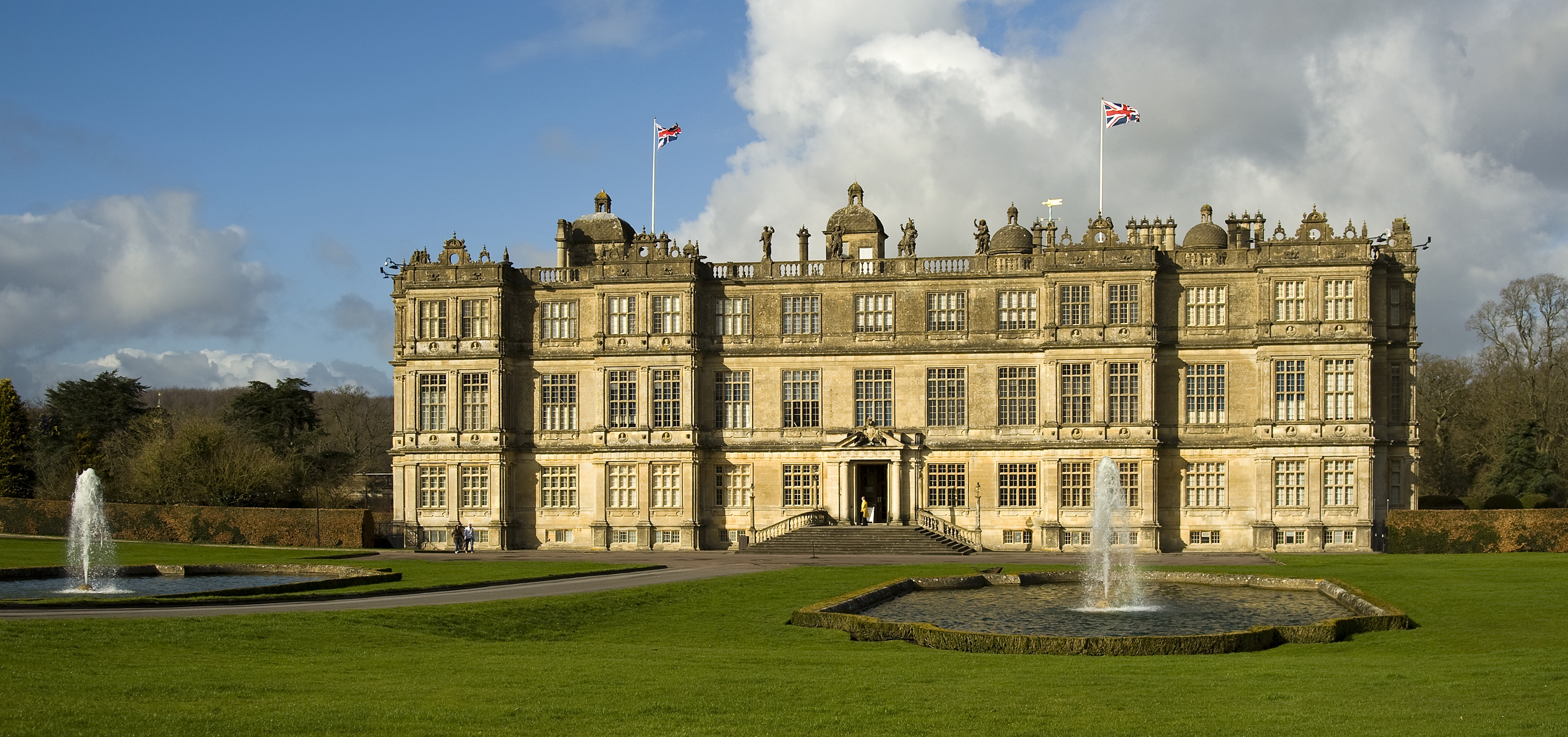
Longleat

Longleat is a stately home about 4 miles (7 km) west of Warminster in Wiltshire, England. A leading and early example of the Elizabethan prodigy house...

Longleat Priory

Longleat Priory was a priory near Warminster, Wiltshire, in the south of England. A short-lived priory was established and dissolved near to Longleat in...

St Michael's Church, Gare Hill

St Michael's Church is a former Church of England church at Gare Hill, Somerset, England. The church, which was designed by William Butterfield and built...

Maiden Bradley

Maiden Bradley is a village in south-west Wiltshire, England, about 6 miles (10 km) south-west of Warminster and bordering the county of Somerset. The...

Longleat Woods

Longleat Woods (grid reference ST795435) is a 249.9 hectare (617.4 acre) biological Site of Special Scientific Interest south of Frome in Somerset, notified...

Nearby Amenities

Located within 500m of 51.169129,-2.2878518
The data included in this document is from www.openstreetmap.org. The data is made available under ODbL.

Have you been to Mill Tyning Wood?

Leave your review of Mill Tyning Wood below (or comments, questions and feedback).