Little Bradley Wood

Wood, Forest in Wiltshire

England

Little Bradley Wood

Kate's Bench Farm A view looking northwest across the B3092 Frome Road to Kate's Bench Farm, and Kate's Bench Clump on the skyline behind.
Kate's Bench Farm Credit: Phil Williams

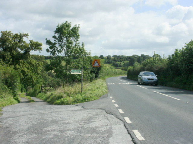
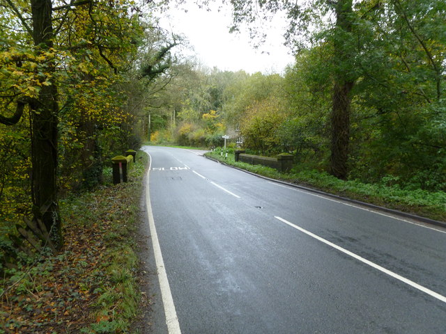
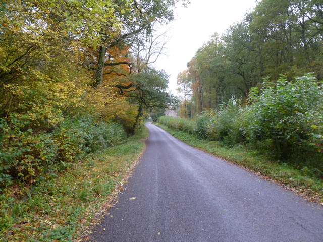
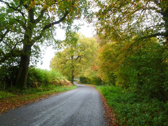
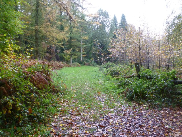
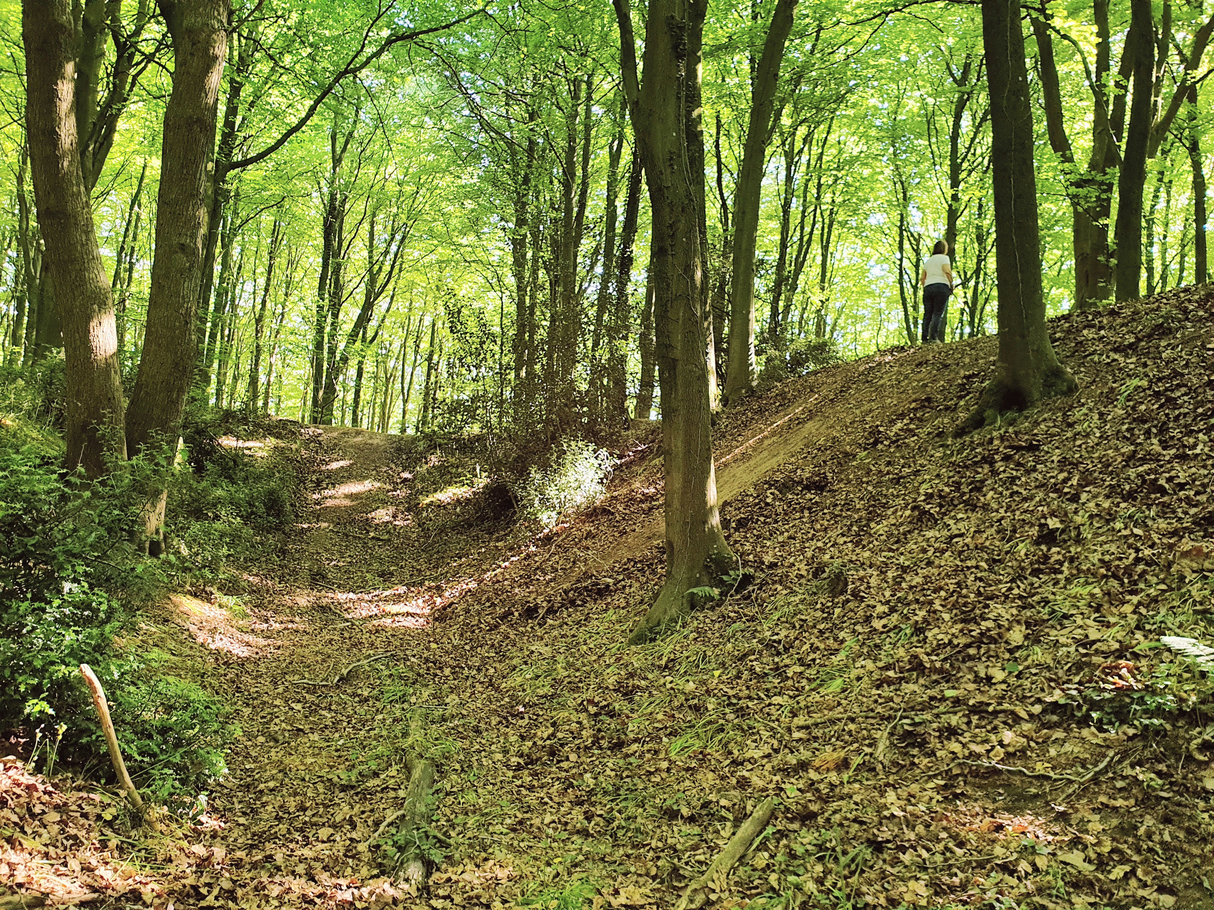
Little Bradley Wood is a picturesque woodland located in the county of Wiltshire, England. Spanning over an area of approximately 50 acres, this enchanting forest is known for its stunning natural beauty and diverse wildlife.

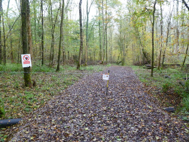
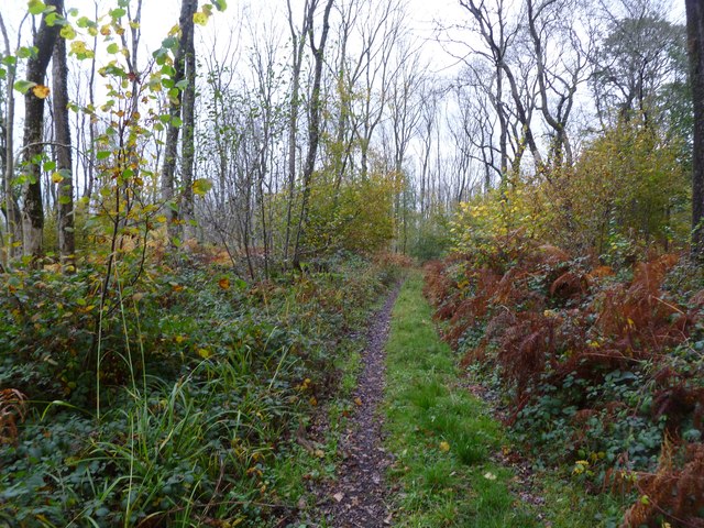
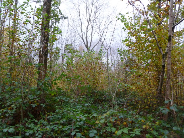
The wood is predominantly composed of deciduous trees, including oak, beech, and ash, which provide a vibrant display of colors during the autumn season. Lush green ferns and moss-covered rocks add to the woodland's charm, creating a serene and peaceful atmosphere.

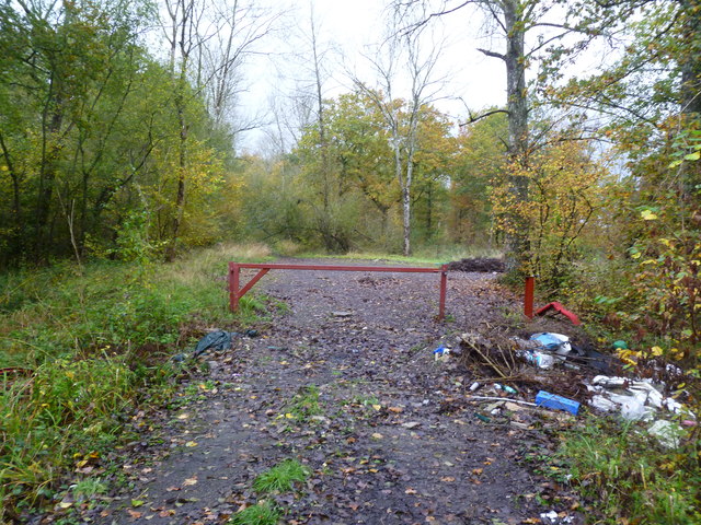
Little Bradley Wood offers a range of walking trails, allowing visitors to explore its hidden treasures. The paths wind through the trees, leading to secluded clearings and tranquil streams. Along the way, visitors may encounter a variety of wildlife, such as deer, squirrels, and a wide array of bird species.

In addition to its natural splendor, Little Bradley Wood also holds historical significance. It is believed that the woodland has existed for centuries and has witnessed various periods of human settlement. Ancient burial mounds and remnants of medieval settlements have been discovered within its boundaries, providing glimpses into the area's rich history.

The wood is a popular destination for nature enthusiasts, walkers, and photographers alike, who are drawn to its breathtaking scenery and peaceful ambiance. With its combination of natural beauty and historical significance, Little Bradley Wood offers a captivating experience for visitors seeking a tranquil retreat amidst the splendor of the English countryside.

If you have any feedback on the listing, please let us know in the comments section below.

Little Bradley Wood Images

Images are sourced within 2km of 51.172638/-2.2943677 or Grid Reference ST7941. Thanks to Geograph Open Source API. All images are credited.

Kate's Bench Farm A view looking northwest across the B3092 Frome Road to Kate's Bench Farm, and Kate's Bench Clump on the skyline behind.
Kate's Bench Farm
A view looking northwest across the B3092 Frome Road to Kate's Bench Farm, and Kate's Bench Clump on the skyline behind.
2009 : Field of ripe wheat near Priory Farm Just waiting for the right water content, a day or two should do it.
Seen from the B3092.
Frome is in the distance to the left.
2009 : Field of ripe wheat near Priory Farm
Just waiting for the right water content, a day or two should do it. Seen from the B3092. Frome is in the distance to the left.
2009 : B3092 Frome Road near Maiden Bradley A little over half a mile to the village.
A farm track and footpath heads off to the left to Horningsham.
2009 : B3092 Frome Road near Maiden Bradley
A little over half a mile to the village. A farm track and footpath heads off to the left to Horningsham.
Gardens between Orangery and Longleat House
Longleat House Looking down the drive at Longleat with fresh cut hay along the drive.
Longleat House
Looking down the drive at Longleat with fresh cut hay along the drive.
Gare Hill, village lane From the Trudoxhill road to the hamlet.
Gare Hill, village lane
From the Trudoxhill road to the hamlet.
Gare Hill, Honey Pot Lane Byway from Gare Hill to County Bridge.
Gare Hill, Honey Pot Lane
Byway from Gare Hill to County Bridge.
Gare Hill, gate At the beginning of the restricted byway to County Bridge. The lane also forms the boundary between Somerset, left, and Wiltshire, right.
Gare Hill, gate
At the beginning of the restricted byway to County Bridge. The lane also forms the boundary between Somerset, left, and Wiltshire, right.
Gare Hill, woodland Beech trees in Marston Wood, showing good autumn colour.
Gare Hill, woodland
Beech trees in Marston Wood, showing good autumn colour.
Gare Hill, fly-tipping A sad sight amongst the beech trees of Marston Wood.
Gare Hill, fly-tipping
A sad sight amongst the beech trees of Marston Wood.
Gare Hill, forestry track With Marston Wood, left, and Ridge Copse, right.
Gare Hill, forestry track
With Marston Wood, left, and Ridge Copse, right.
Gare Hill, Honey Pot Lane Restricted byway from Gare Hill to County Bridge, with young ash trees to the left. The lane also forms the boundary between Somerset, left, and Wiltshire, right.
Gare Hill, Honey Pot Lane
Restricted byway from Gare Hill to County Bridge, with young ash trees to the left. The lane also forms the boundary between Somerset, left, and Wiltshire, right.
Gare Hill, woodland Bare young ash, with autumn-coloured hazel in the under-storey.
Gare Hill, woodland
Bare young ash, with autumn-coloured hazel in the under-storey.
Maiden Bradley, gate At the northern end of Honey Pot Lane. The lane forms the boundary between Wiltshire, left, and Somerset, right. Note the fly-tipping.
Maiden Bradley, gate
At the northern end of Honey Pot Lane. The lane forms the boundary between Wiltshire, left, and Somerset, right. Note the fly-tipping.
Maiden Bradley, County Bridge Across a stream on Frome Road (B3092); on the far side, Somerset, on this, Wiltshire. The boundary is marked mid-bridge by an iron post.
Maiden Bradley, County Bridge
Across a stream on Frome Road (B3092); on the far side, Somerset, on this, Wiltshire. The boundary is marked mid-bridge by an iron post.
Maiden Bradley, Forest Road From Horningsham to County Bridge (B3092); Little Bradley Wood to the left, Gully Copse, right.
Maiden Bradley, Forest Road
From Horningsham to County Bridge (B3092); Little Bradley Wood to the left, Gully Copse, right.
Horningsham, autumn colours Provided by beech trees on Forest Road.
Horningsham, autumn colours
Provided by beech trees on Forest Road.
Horningsham, permissive footpath Through Little Bradley Wood, on the Duke of Somerset's Estate.
Horningsham, permissive footpath
Through Little Bradley Wood, on the Duke of Somerset's Estate.
Show me another place!

Little Bradley Wood is located at Grid Ref: ST7941 (Lat: 51.172638, Lng: -2.2943677)

Unitary Authority: Wiltshire

Police Authority: Wiltshire

What 3 Words

///bats.slurred.exporters. Near Kilmington, Wiltshire

Related Wikis

Bradley Woods

Bradley Woods (grid reference ST789410) is an area of woodland in Wiltshire, south of Longleat Woods and north of Gare Hill. A 48.7 hectare area within...

Maiden Bradley Priory

Maiden Bradley Priory was a priory in Wiltshire, England. It was founded as a leper colony in 1164, and in 1189 was handed over to the Augustinian order...

Horningsham

Horningsham is a small village and civil parish in Wiltshire, England, on the county border with Somerset. The village lies about 4 miles (6 km) southwest...

Longleat Woods

Longleat Woods (grid reference ST795435) is a 249.9 hectare (617.4 acre) biological Site of Special Scientific Interest south of Frome in Somerset, notified...

St Michael's Church, Gare Hill

St Michael's Church is a former Church of England church at Gare Hill, Somerset, England. The church, which was designed by William Butterfield and built...
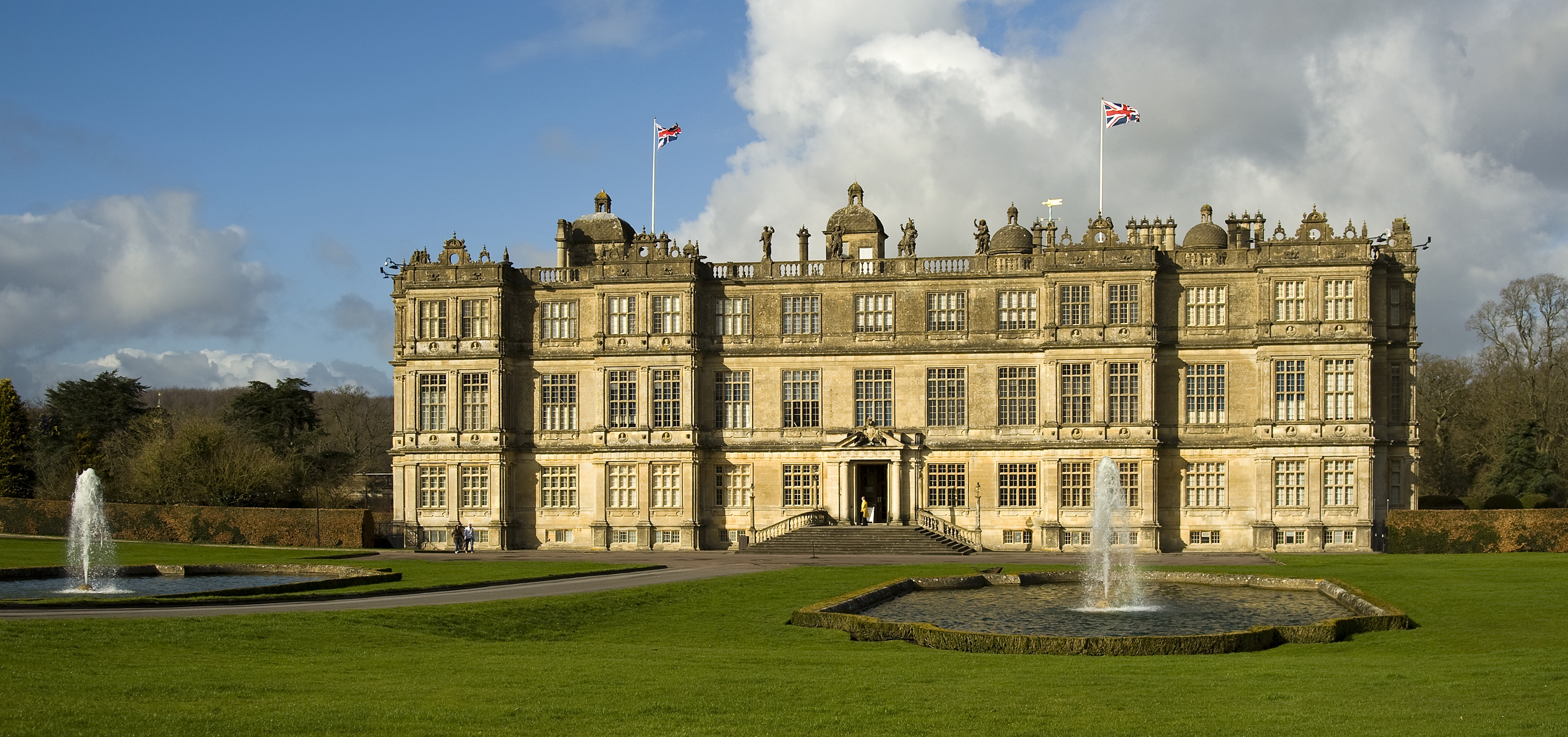
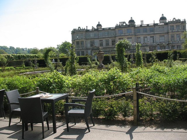
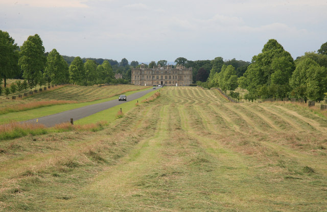
Longleat

Longleat is a stately home about 4 miles (7 km) west of Warminster in Wiltshire, England. A leading and early example of the Elizabethan prodigy house...

Longleat Priory

Longleat Priory was a priory near Warminster, Wiltshire, in the south of England. A short-lived priory was established and dissolved near to Longleat in...

Roddenbury Hillfort

Roddenbury Hillfort is a univallate Iron Age hillfort in the parish of Selwood, Somerset, England. It is a Scheduled Monument and it was on the Heritage...

Nearby Amenities

Located within 500m of 51.172638,-2.2943677
The data included in this document is from www.openstreetmap.org. The data is made available under ODbL.

Have you been to Little Bradley Wood?

Leave your review of Little Bradley Wood below (or comments, questions and feedback).