Halebarns

Settlement in Cheshire

England

Halebarns

Premier Inn Manchester Airport Taken from the fourth floor of Premier Inn Runger Lane Manchester Airport.
Premier Inn Manchester Airport Credit: Ian S

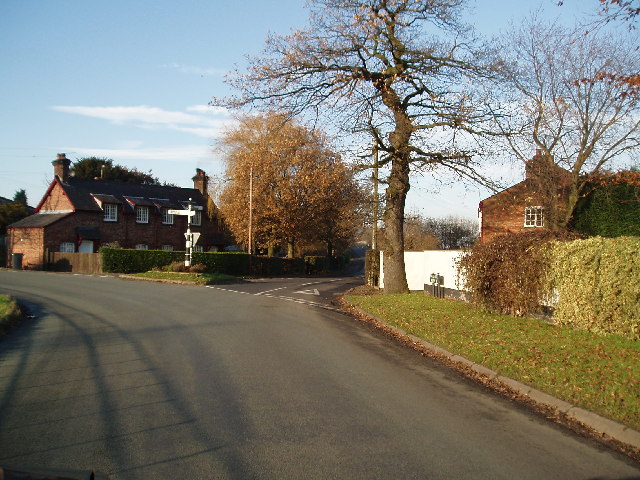
Halebarns is a small village located in the county of Cheshire, England. Situated approximately 10 miles south of Manchester city center, it falls within the borough of Trafford. Halebarns is known for its picturesque surroundings, charming architecture, and a close-knit community.

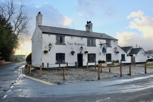
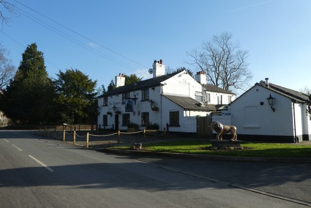
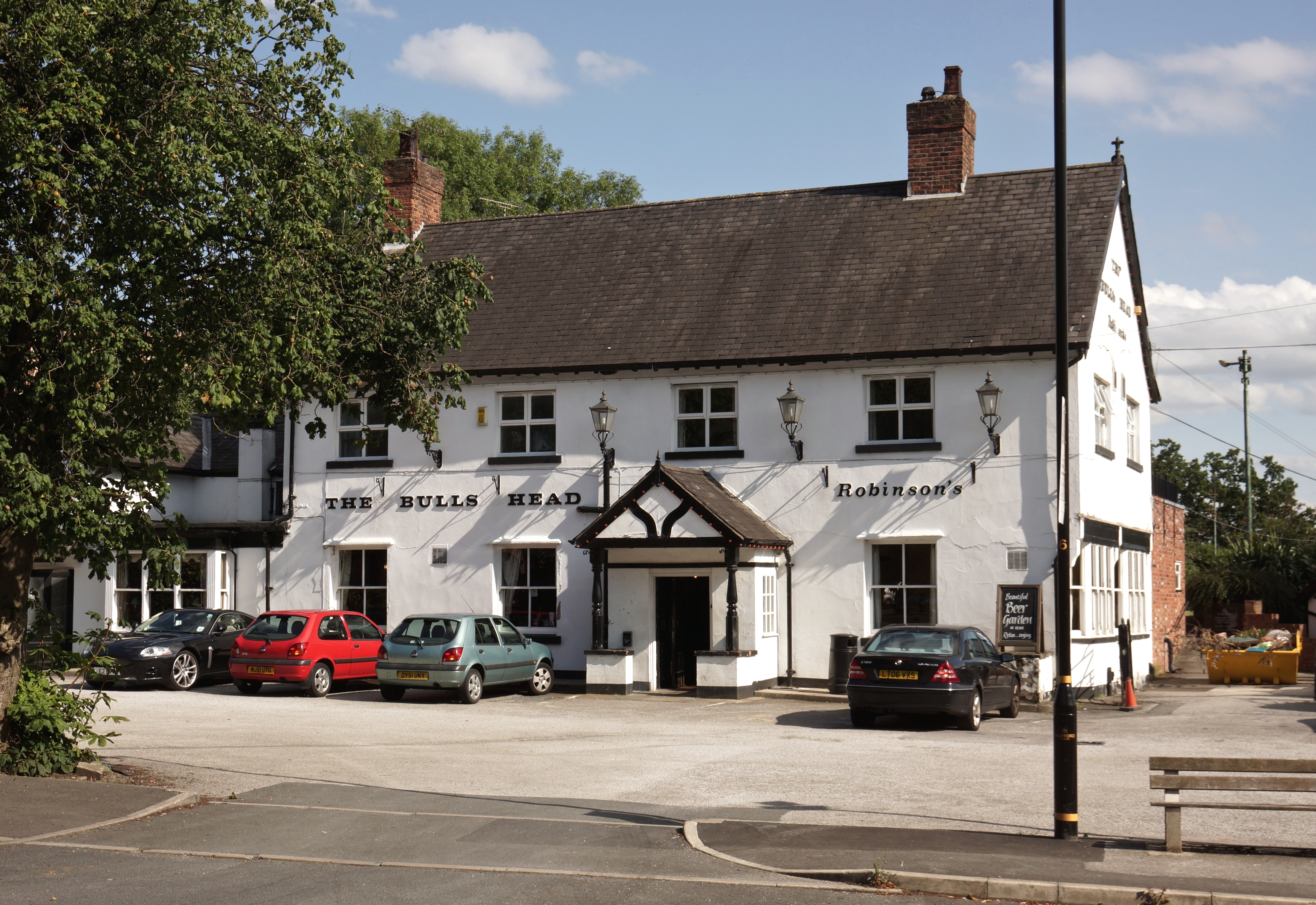
The village is believed to have originated as a medieval settlement and has a rich history dating back centuries. Today, it offers a mix of modern amenities and traditional charm. The village center boasts a range of local shops, including a post office, convenience stores, and several boutiques. Additionally, there are several pubs and restaurants that provide a vibrant social scene for residents and visitors alike.

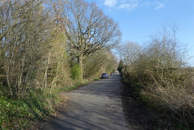
Halebarns is surrounded by beautiful countryside, making it a popular spot for outdoor activities. The nearby Cheshire countryside and Dunham Massey Park offer ample opportunities for walking, cycling, and exploring nature. For golf enthusiasts, the Hale Golf Club is just a stone's throw away, providing a picturesque course for players of all levels.

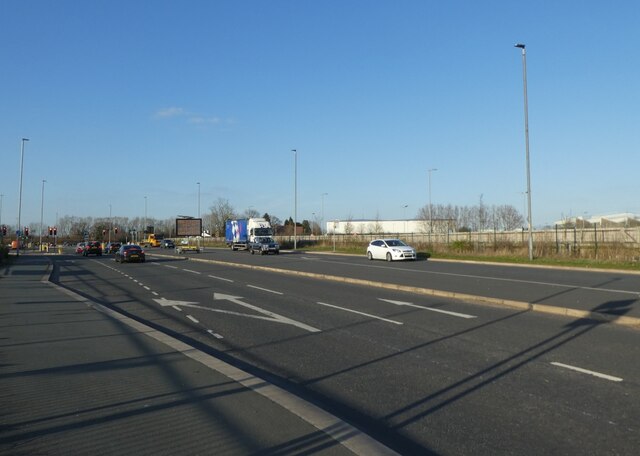
The village is well-connected to the wider region, with excellent transport links. The nearby M56 motorway allows for easy access to Manchester Airport and the wider motorway network. Halebarns also benefits from a regular bus service, connecting it to nearby towns and cities.

In terms of education, there are several schools in the vicinity, including Altrincham College of Arts and St. Ambrose College, providing options for families with children of different ages.

In summary, Halebarns is a charming village nestled in the picturesque Cheshire countryside. With its history, beautiful surroundings, and convenient location, it offers a desirable place to live or visit for those seeking a mix of rural tranquility and urban access.

If you have any feedback on the listing, please let us know in the comments section below.
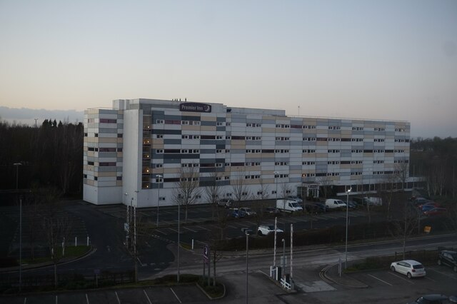
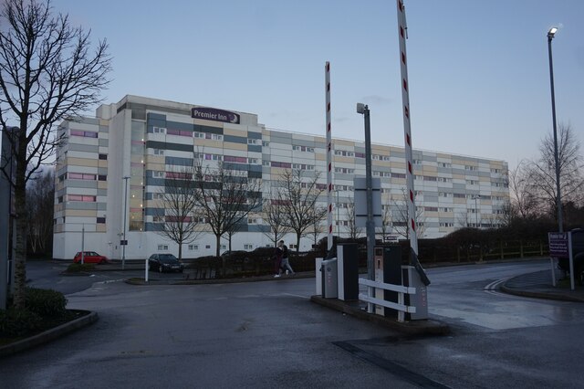
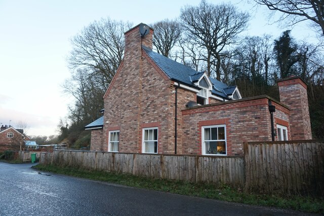
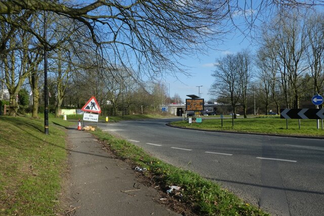
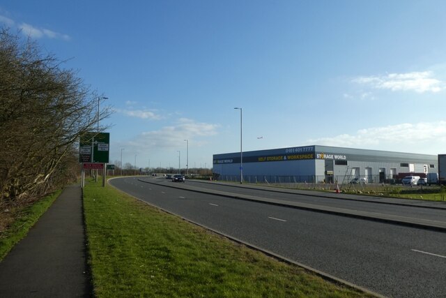
Halebarns Images

Images are sourced within 2km of 53.361452/-2.3170135 or Grid Reference SJ7985. Thanks to Geograph Open Source API. All images are credited.

Premier Inn Manchester Airport Taken from the fourth floor of Premier Inn Runger Lane Manchester Airport.
Premier Inn Manchester Airport
Taken from the fourth floor of Premier Inn Runger Lane Manchester Airport.
Premier Inn Manchester Airport
Holiday Inn Express Manchester Airport
Wayside Farm on Mill Lane
Mill Lane at Cotterill Clough Nature Reserve
House on Mill Lane
House on Mill Lane
Staff South Car-park The burgeoning of Manchester International Airport has necessitated a massive expansion of facilities for staff working there.

The changes over ten years are evident from an earlier photo showing the view towards this area: <a href="https://www.geograph.org.uk/photo/2325471">SJ8084 : Junction of Sunbank Lane and Wilmslow Road, Ringway</a>. (Parking now fills the whole of the land below the former Fairey Aviation works which can be seen at the top right.)
Staff South Car-park
The burgeoning of Manchester International Airport has necessitated a massive expansion of facilities for staff working there. The changes over ten years are evident from an earlier photo showing the view towards this area: SJ8084 : Junction of Sunbank Lane and Wilmslow Road, Ringway. (Parking now fills the whole of the land below the former Fairey Aviation works which can be seen at the top right.)
Back in business The historic Romper pub has survived the Virus and is open to customers.
Back in business
The historic Romper pub has survived the Virus and is open to customers.
Hasty Lane Looking along Hasty Lane having passed under the M56.
Hasty Lane
Looking along Hasty Lane having passed under the M56.
Path beside Wilmslow Road roundabout Looking along a path beside one of the roundabouts at the M56 junction.
Path beside Wilmslow Road roundabout
Looking along a path beside one of the roundabouts at the M56 junction.
Large buildings along Wilmslow Road Looking along Wilmslow Road with a self storage unit opposite.
Large buildings along Wilmslow Road
Looking along Wilmslow Road with a self storage unit opposite.
Wilmslow Old Road Looking along the old road just after the path connecting to the new road.
Wilmslow Old Road
Looking along the old road just after the path connecting to the new road.
The Romper Public house on Wilmslow Old Road.
The Romper
Public house on Wilmslow Old Road.
Junction on Wilmslow Road Looking along Wilmslow Road towards the junction with Gannet Way.
Junction on Wilmslow Road
Looking along Wilmslow Road towards the junction with Gannet Way.
Along Wilmslow Road Looking along the pavement/cycle path beside Wilmslow Road in the direction of Hale.
Along Wilmslow Road
Looking along the pavement/cycle path beside Wilmslow Road in the direction of Hale.
Footpath beside Wilmslow Road Although this doesn't seem to be currently marked on OS or OSM maps.
Footpath beside Wilmslow Road
Although this doesn't seem to be currently marked on OS or OSM maps.
Drought? Empty 'balancing pond': would normally fill with run-off from the surrounding construction site to form a water buffer and avoid the drainage system being overwhelmed at times of heavy rainfall: no such problem at present when there has been no significant precipitation for weeks on end.
Drought?
Empty 'balancing pond': would normally fill with run-off from the surrounding construction site to form a water buffer and avoid the drainage system being overwhelmed at times of heavy rainfall: no such problem at present when there has been no significant precipitation for weeks on end.
Modern office development Adjacent to Manchester International Airport. Not many years ago, this was unspoiled farmland, with a nature reserve nearby, and a popular area for local  walkers and cyclists. The ever-growing tentacles of Airport development have steadily eroded rural Ringway with office blocks, logistics companies and overflow car parks.
Modern office development
Adjacent to Manchester International Airport. Not many years ago, this was unspoiled farmland, with a nature reserve nearby, and a popular area for local walkers and cyclists. The ever-growing tentacles of Airport development have steadily eroded rural Ringway with office blocks, logistics companies and overflow car parks.
Show me another place!

Halebarns is located at Grid Ref: SJ7985 (Lat: 53.361452, Lng: -2.3170135)

Unitary Authority: Trafford

Police Authority: Greater Manchester

What 3 Words

///fencing.cries.workroom. Near Ashley, Cheshire

Related Wikis

Warburton Green

Warburton Green is a district of Hale Barns, Greater Manchester. It is situated to the south east of the centre of the village, close to the M56 and River...

Hale Barns

Hale Barns is a village near Altrincham in Greater Manchester, England, 7 miles (11 km) south-west of Manchester city centre, 2 miles west of Manchester...

St Ambrose College

St Ambrose College is a Christian Brothers' Roman Catholic boys' grammar school in Hale Barns, Altrincham, Greater Manchester, England. It was founded...

Ullerwood Castle

Ullerwood Castle is an early medieval castle, possibly a shell keep, in Ringway, Manchester, England (grid reference SJ800838). The castle is first referred...

Ashley, Cheshire

Ashley is a village and civil parish in Cheshire, England. At the 2001 census, it had a population of 261. The village is close to the border with Greater...

Ashley railway station

Ashley railway station is in the village of Ashley in Cheshire, England. It is located on the Mid-Cheshire line 17+3⁄4 miles (28.6 km) southwest of Manchester...

Royd House

Royd House is a Grade I listed building in Hale, Greater Manchester. It was designed by architect Edgar Wood as his own home and was built between 1914...

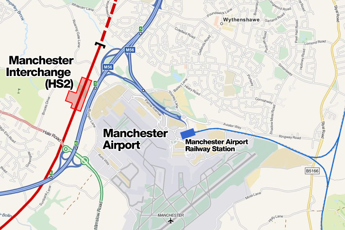
Manchester Airport High Speed station

Manchester Airport High Speed Station was a planned High Speed 2 station at Manchester Airport, on the southern boundary of Manchester, England, next to...

Nearby Amenities

Located within 500m of 53.361452,-2.3170135
Turning Circle
Lat/Long: 53.3650409/-2.3125144
Turning Circle
Lat/Long: 53.3644966/-2.3128091
Turning Circle
Lat/Long: 53.3642027/-2.3119171
Bus Stop
Warburton Green, Chapel Lane / near Chapel Drive
Bus: yes
Naptan AtcoCode: 1800SJ11361
Naptan Bearing: E
Naptan CommonName: Chapel Lane/Chapel Drive
Naptan Indicator: Os House 59
Naptan Landmark: HOUSE 59
Naptan NaptanCode: manjpwtg
Naptan PlusbusZoneRef: MNCRPIC
Naptan ShortCommonName: Chapel Drive
Naptan Street: CHAPEL LANE
Naptan Verified: no
Network: TfGM
Operator: TfGM
Public Transport: platform
Route Ref: 286
Source: naptan_import
Lat/Long: 53.3635155/-2.3120429
Bus Stop
Warburton Green, Chapel Lane / opposite Chapel Drive
Bus: yes
Naptan AtcoCode: 1800SJ11451
Naptan Bearing: W
Naptan CommonName: Chapel Lane/Chapel Drive
Naptan Indicator: O/s House 84
Naptan Landmark: HOUSE 84
Naptan NaptanCode: manjtadp
Naptan PlusbusZoneRef: MNCRPIC
Naptan ShortCommonName: Chapel Drive
Naptan Street: CHAPEL LANE
Naptan Verified: no
Network: TfGM
Operator: TfGM
Public Transport: platform
Route Ref: 21;285
Source: naptan_import
Lat/Long: 53.3634409/-2.3120774
Post Box
Post Box Type: pillar
Royal Cypher: EIIR
Royal Cypher Wikidata: Q33102113
Lat/Long: 53.3656645/-2.3144854
The data included in this document is from www.openstreetmap.org. The data is made available under ODbL.

Have you been to Halebarns?

Leave your review of Halebarns below (or comments, questions and feedback).