Hencroft Wood
Wood, Forest in Yorkshire Ribble Valley
England
Hencroft Wood
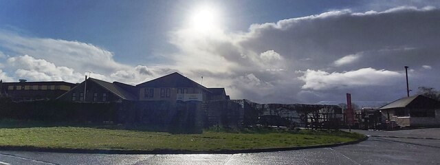
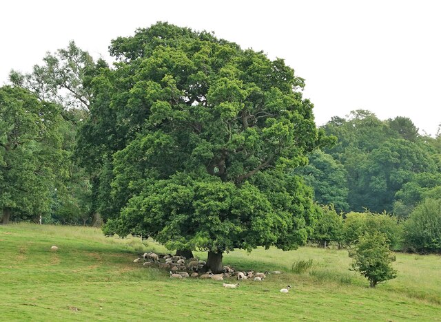
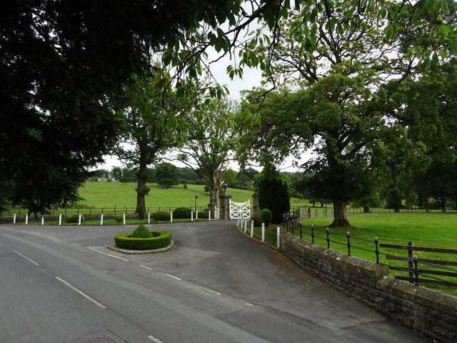
Hencroft Wood is a picturesque forest located in Yorkshire, England. Nestled in the heart of the county, this woodland is a popular destination for nature enthusiasts and outdoor adventurers alike.
Covering an area of approximately 200 acres, Hencroft Wood boasts a diverse range of flora and fauna. The woodland is predominantly composed of deciduous trees, including oak, beech, and birch, which provide a stunning display of colors throughout the changing seasons. The forest floor is adorned with an array of wildflowers, creating a vibrant tapestry of colors during spring and summer.
The wood is crisscrossed by a network of well-maintained footpaths, allowing visitors to explore its natural beauty at their own pace. These trails wind their way through the woodland, offering breathtaking views of the surrounding countryside. Along the way, visitors may encounter a variety of wildlife, such as deer, foxes, and a myriad of bird species.
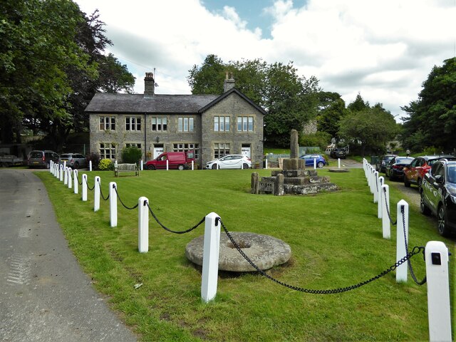
Hencroft Wood also offers several amenities for visitors to enjoy. There are picnic areas scattered throughout the forest, providing the perfect spot for a leisurely lunch amidst nature. Additionally, there is a small visitor center that offers information on the woodland's history, ecology, and conservation efforts.
Whether you are seeking a peaceful stroll in nature, birdwatching, or simply a break from the hustle and bustle of everyday life, Hencroft Wood is a hidden gem in Yorkshire that promises a serene and immersive experience in the great outdoors.
If you have any feedback on the listing, please let us know in the comments section below.
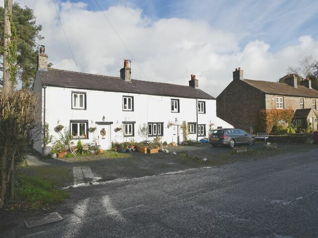
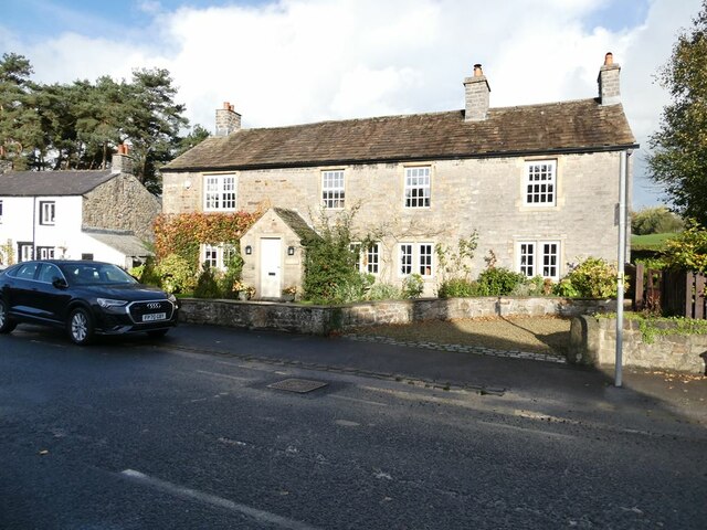
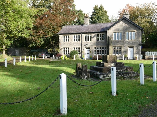
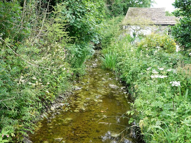
Hencroft Wood Images
Images are sourced within 2km of 53.934191/-2.3066591 or Grid Reference SD7948. Thanks to Geograph Open Source API. All images are credited.

Hencroft Wood is located at Grid Ref: SD7948 (Lat: 53.934191, Lng: -2.3066591)
Division: West Riding
Administrative County: Lancashire
District: Ribble Valley
Police Authority: Lancashire
What 3 Words
///piston.competing.suspect. Near Chatburn, Lancashire
Nearby Locations
Related Wikis

St Peter and St Paul's Church, Bolton-by-Bowland
St Peter and St Paul's Church is in Gisburn Road, Bolton-by-Bowland, Lancashire, England. It is an active Anglican parish church in the deanery of Whalley...

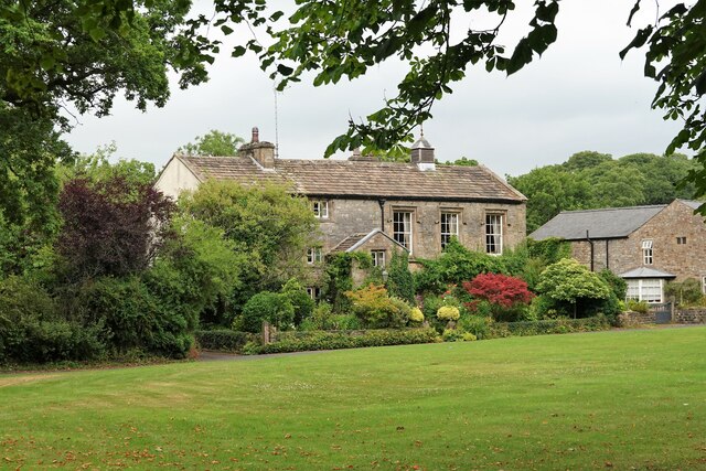
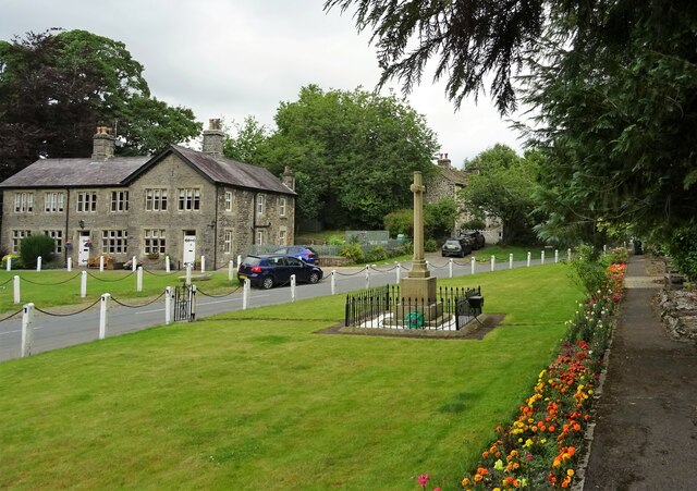
Bolton-by-Bowland
Bolton-by-Bowland is a village and civil parish in the Ribble Valley district of Lancashire, England. Before 1974, the village was part of Bowland Rural...

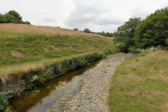
Skirden Beck
Skirden Beck is a minor river in Lancashire, England (historically in the West Riding of Yorkshire). It is approximately 4.3 miles (6.85 km) long and has...

Gisburn railway station
Gisburn railway station served the small village of Gisburn, which is now in Lancashire, England, but was in the West Riding of Yorkshire at the time....

Rimington railway station
Rimington railway station was a railway station that served the small village of Rimington in Lancashire. It was built by the Lancashire and Yorkshire...

Gisburne Park
Gisburne Park is an 18th-century country house and associated park in Gisburn, Lancashire, England, in the Ribble Valley some 6 miles (10 km) north-east...

Gisburn
Gisburn (formerly Gisburne) is a village and civil parish within the Ribble Valley borough of Lancashire, England. Historically within the West Riding...

Stock Beck
Stock Beck is a minor river in the West Craven area of Pendle, Lancashire (formerly in Yorkshire). It is 8.25 miles (13.27 km) long and has a catchment...
Nearby Amenities
Located within 500m of 53.934191,-2.3066591Have you been to Hencroft Wood?
Leave your review of Hencroft Wood below (or comments, questions and feedback).