Low Wood
Wood, Forest in Yorkshire Ribble Valley
England
Low Wood
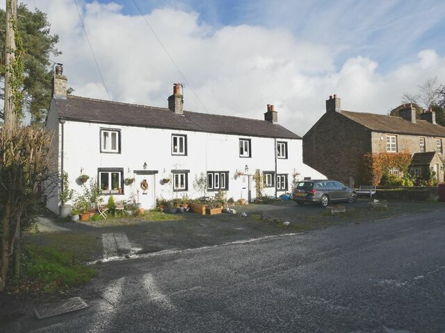
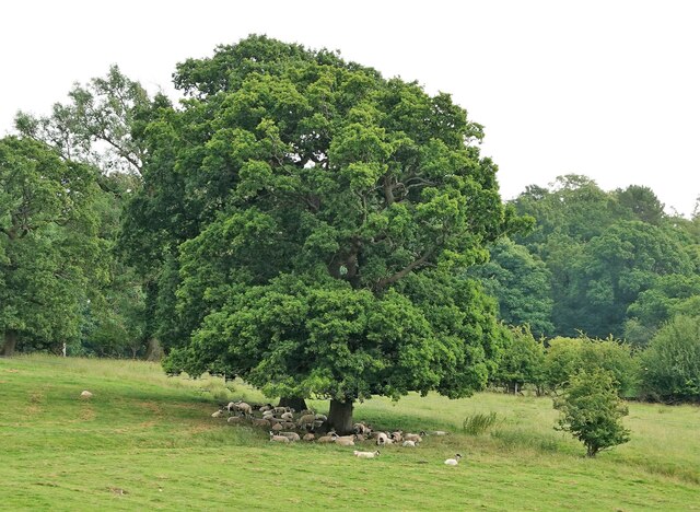
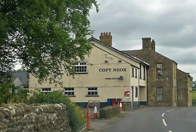
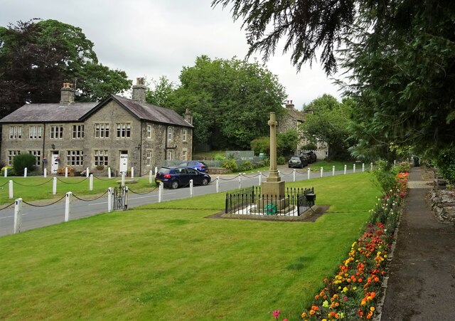
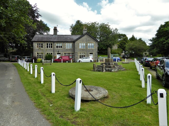
Low Wood is a picturesque village located in the county of Yorkshire, England. Situated amidst the stunning natural beauty of the Yorkshire Dales, this charming village is known for its serene and tranquil atmosphere. The village is aptly named after the surrounding woodland and forest areas that create an enchanting backdrop.
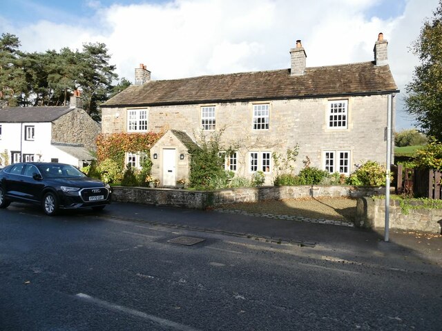
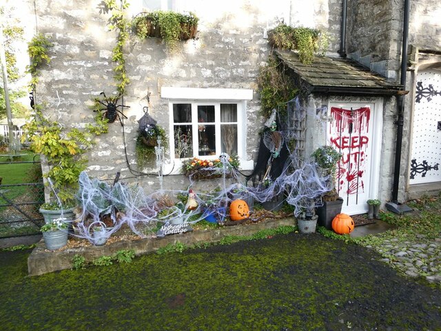
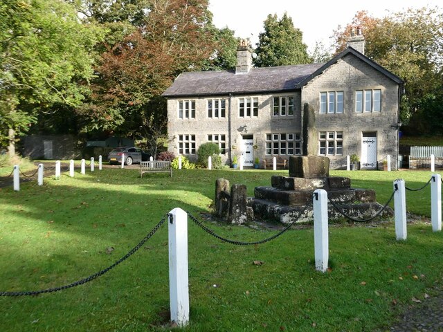
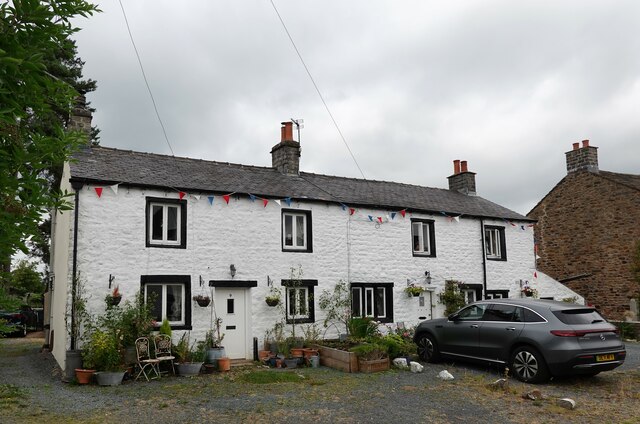
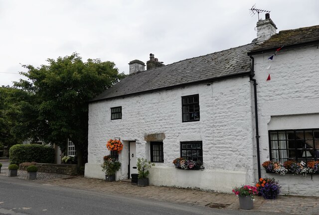
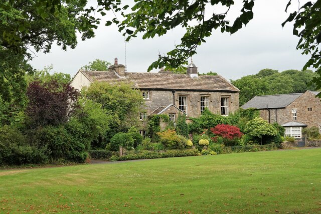
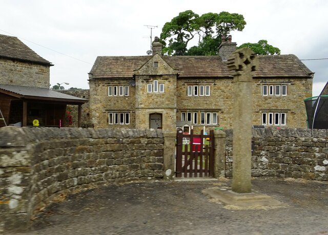
The village of Low Wood is home to a small community of residents who enjoy a close-knit and friendly environment. The houses in the village are predominantly traditional stone cottages, adding to the rural charm and character of the area. The streets are lined with well-maintained gardens and vibrant flowers in bloom during the summer months.
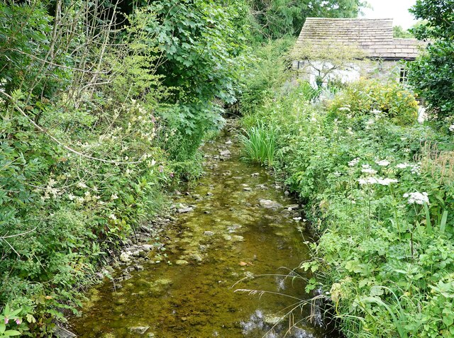
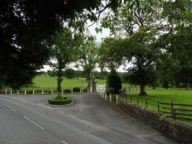
The village is surrounded by an abundance of natural beauty, with rolling hills and dense woodlands that provide ample opportunities for outdoor activities such as hiking, cycling, and birdwatching. The nearby Low Wood Nature Reserve is a haven for wildlife enthusiasts, offering a chance to spot various species of birds, deer, and other woodland creatures.
Despite its peaceful and secluded setting, Low Wood is conveniently located near several amenities. The nearby town of Woodville offers a range of shops, cafes, and restaurants, providing residents with all the necessary conveniences. Additionally, the bustling city of York is within easy reach, offering a wider range of amenities and attractions.
With its idyllic setting, charming community, and easy access to both nature and urban amenities, Low Wood is a truly special place to visit or call home in the heart of Yorkshire.
If you have any feedback on the listing, please let us know in the comments section below.
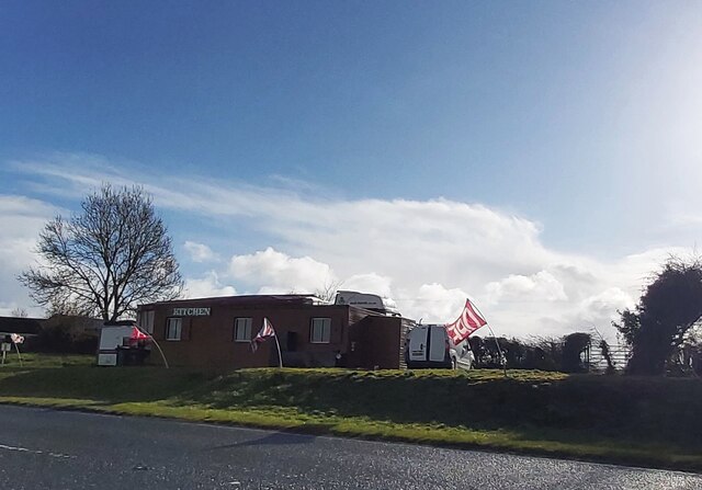
Low Wood Images
Images are sourced within 2km of 53.93372/-2.3114077 or Grid Reference SD7948. Thanks to Geograph Open Source API. All images are credited.


Low Wood is located at Grid Ref: SD7948 (Lat: 53.93372, Lng: -2.3114077)
Division: West Riding
Administrative County: Lancashire
District: Ribble Valley
Police Authority: Lancashire
What 3 Words
///unfolds.demand.dumpling. Near Chatburn, Lancashire
Nearby Locations
Related Wikis

St Peter and St Paul's Church, Bolton-by-Bowland
St Peter and St Paul's Church is in Gisburn Road, Bolton-by-Bowland, Lancashire, England. It is an active Anglican parish church in the deanery of Whalley...

Bolton-by-Bowland
Bolton-by-Bowland is a village and civil parish in the Ribble Valley district of Lancashire, England. Before 1974, the village was part of Bowland Rural...

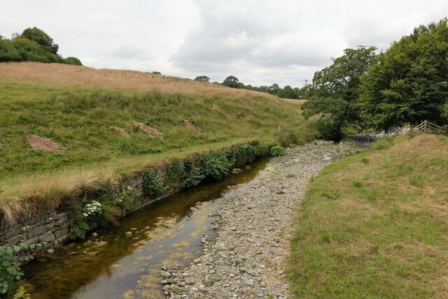
Skirden Beck
Skirden Beck is a minor river in Lancashire, England (historically in the West Riding of Yorkshire). It is approximately 4.3 miles (6.85 km) long and has...

Rimington railway station
Rimington railway station was a railway station that served the small village of Rimington in Lancashire. It was built by the Lancashire and Yorkshire...

Gisburn railway station
Gisburn railway station served the small village of Gisburn, which is now in Lancashire, England, but was in the West Riding of Yorkshire at the time....

Sawley, Lancashire
Sawley is a village and civil parish in the Borough of Ribble Valley in Lancashire, England. The population of the civil parish was 305 at the 2001 Census...
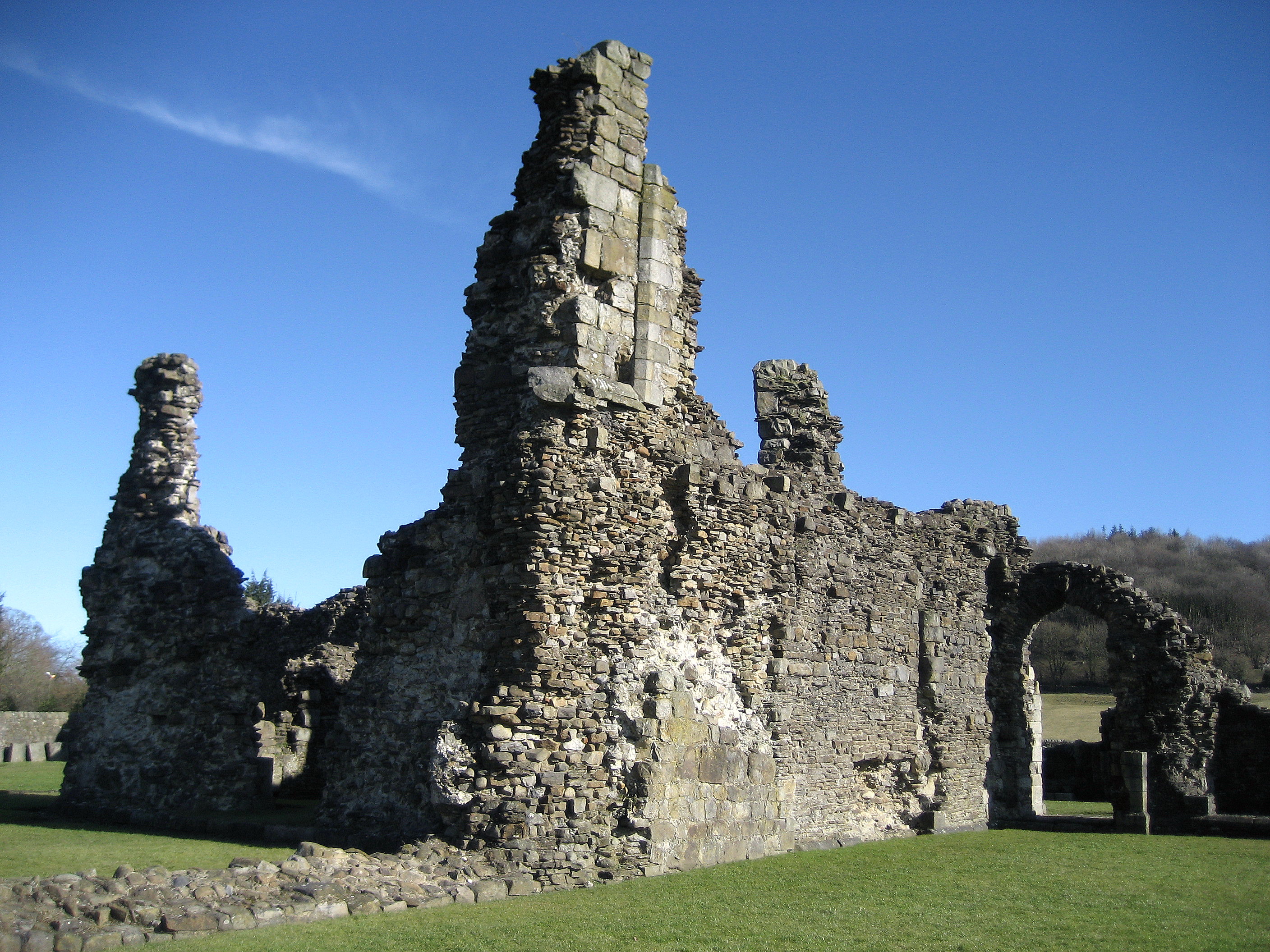
Sawley Abbey
Sawley Abbey was an abbey of Cistercian monks in the village of Sawley, Lancashire, in England (and historically in the West Riding of Yorkshire). Created...

Gisburne Park
Gisburne Park is an 18th-century country house and associated park in Gisburn, Lancashire, England, in the Ribble Valley some 6 miles (10 km) north-east...
Nearby Amenities
Located within 500m of 53.93372,-2.3114077Have you been to Low Wood?
Leave your review of Low Wood below (or comments, questions and feedback).