Brackney Brow Wood
Wood, Forest in Yorkshire Craven
England
Brackney Brow Wood

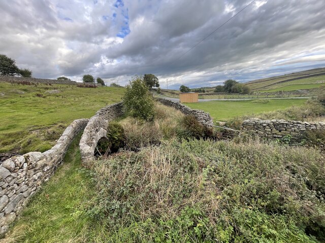
Brackney Brow Wood is a charming woodland located in the picturesque county of Yorkshire, England. Situated on the outskirts of a small village, it covers an area of approximately 50 acres, making it a peaceful haven for nature enthusiasts and those seeking tranquility amidst the hustle and bustle of everyday life.
This ancient forest boasts a diverse range of trees, including oak, beech, and birch, which provide a stunning display of colors throughout the seasons. The woodland floor is adorned with vibrant carpets of wildflowers, adding to its natural beauty. The dense foliage creates a habitat for a variety of wildlife, such as deer, foxes, and a multitude of bird species, making it a popular spot for birdwatchers.
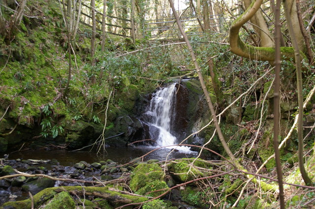
There are several well-maintained walking trails that wind through Brackney Brow Wood, allowing visitors to explore its enchanting surroundings. These paths offer breathtaking views of the surrounding countryside and provide an opportunity to immerse oneself in the serene atmosphere of the forest. A small stream meanders through the wood, adding to its charm and serving as a watering hole for the local wildlife.
Brackney Brow Wood is a cherished part of the local community, and efforts have been made to preserve its natural habitat. Conservation initiatives have been implemented to protect the woodland and promote biodiversity. Visitors are encouraged to respect the environment and adhere to the designated paths to minimize their impact on the delicate ecosystem.
Overall, Brackney Brow Wood offers a delightful escape into nature, where visitors can enjoy the tranquility of the forest, observe its diverse wildlife, and revel in its natural beauty.
If you have any feedback on the listing, please let us know in the comments section below.
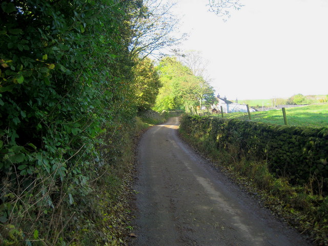
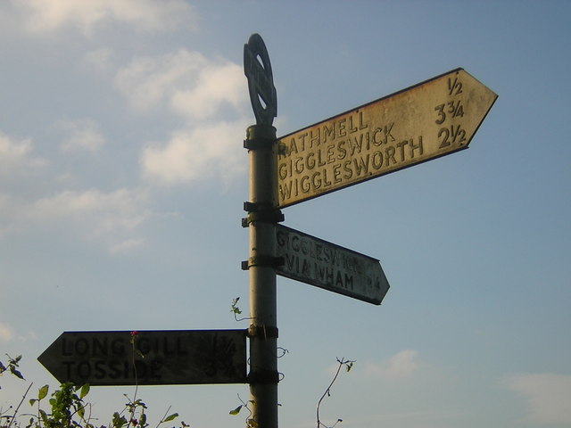
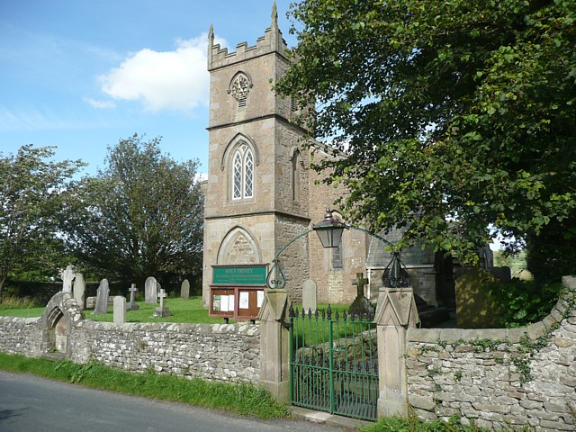
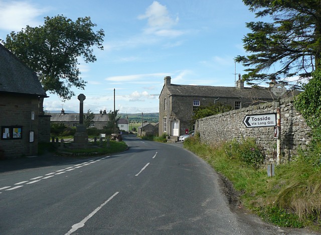
Brackney Brow Wood Images
Images are sourced within 2km of 54.050252/-2.3124472 or Grid Reference SD7961. Thanks to Geograph Open Source API. All images are credited.


Brackney Brow Wood is located at Grid Ref: SD7961 (Lat: 54.050252, Lng: -2.3124472)
Division: West Riding
Administrative County: North Yorkshire
District: Craven
Police Authority: North Yorkshire
What 3 Words
///promoting.sharpens.mailings. Near Settle, North Yorkshire
Nearby Locations
Related Wikis

Giggleswick railway station
Giggleswick is a railway station on the Bentham Line, which runs between Leeds and Morecambe via Skipton. The station, situated 41+1⁄4 miles (66 km) north...

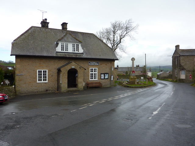
Rathmell
Rathmell is a village and civil parish in the Craven district of North Yorkshire, England. The population of the civil parish in the 2011 census was 305...

Settle Junction railway station
Settle Junction railway station was located near the town of Settle, North Yorkshire, England, immediately to south of the junction between the Midland...
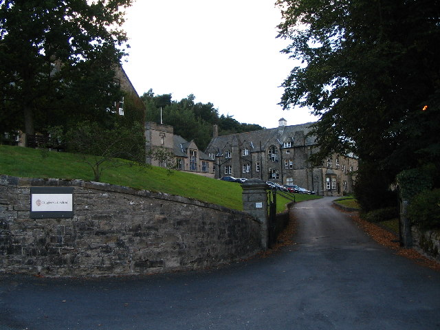
Giggleswick School
Giggleswick School is a public school (English private boarding and day school) in Giggleswick, near Settle, North Yorkshire, England. == Early school... ==
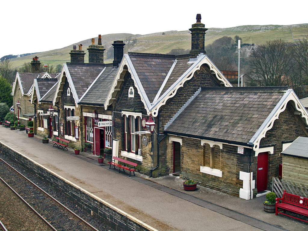
Settle railway station
Settle is a railway station on the Settle and Carlisle Line, which runs between Carlisle and Leeds via Settle. The station, situated 41 miles 37 chains...
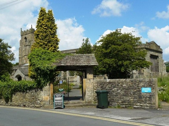
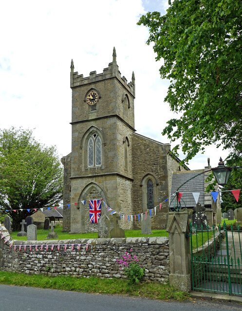
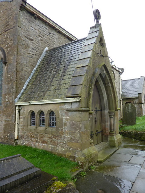
Church of St Alkelda, Giggleswick
The Church of St Alkelda, Giggleswick (historically St Alkald), is an Anglican church in the village of Giggleswick, North Yorkshire, England. St Alkelda...

Settle, North Yorkshire
Settle is a market town and civil parish in the Craven district of North Yorkshire, England. Historically in the West Riding of Yorkshire, the town had...

Settle Victoria Hall
Settle Victoria Hall is a Grade II listed concert hall in Kirkgate, Settle, North Yorkshire, England. It is the UK's oldest surviving music hall.Built...
Nearby Amenities
Located within 500m of 54.050252,-2.3124472Have you been to Brackney Brow Wood?
Leave your review of Brackney Brow Wood below (or comments, questions and feedback).