Gollinrod Wood
Wood, Forest in Lancashire
England
Gollinrod Wood

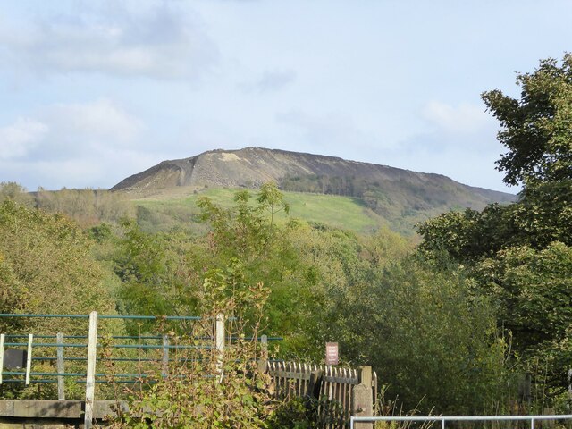
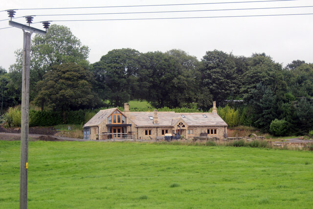
Gollinrod Wood is a picturesque woodland located in the county of Lancashire, England. Covering an area of approximately 50 hectares, this ancient forest is a haven for nature lovers and outdoor enthusiasts. Situated near the town of Chorley, Gollinrod Wood is easily accessible and attracts visitors from both local communities and afar.
The woodland is characterized by a diverse range of flora and fauna, making it a valuable ecological site. The forest floor is carpeted with a variety of wildflowers, including bluebells and wood anemones, creating a vibrant and colorful landscape during the spring months. Towering trees, such as oak, beech, and birch, dominate the canopy, providing shelter and nesting sites for numerous bird species.
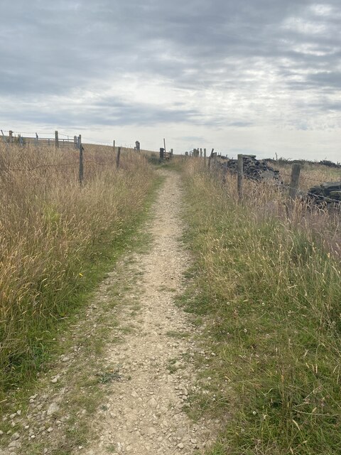
Gollinrod Wood is crisscrossed by a network of well-maintained footpaths, allowing visitors to explore the area at their own pace. These trails lead to hidden clearings, babbling brooks, and peaceful ponds, enhancing the overall tranquility of the woodland. The rustling of leaves underfoot and the chirping of birds overhead create a serene atmosphere, offering a welcome respite from the hustle and bustle of everyday life.
Throughout the year, Gollinrod Wood hosts a range of events and activities for visitors of all ages. Guided nature walks, bird-watching sessions, and educational workshops are regularly organized by local conservation groups, providing an opportunity to learn about the wood's biodiversity and ecological significance.
In conclusion, Gollinrod Wood is a stunning forested area in Lancashire, offering a captivating escape into nature. With its diverse ecosystem, well-maintained trails, and various activities, it is a cherished destination for those seeking tranquility and a deeper connection with the natural world.
If you have any feedback on the listing, please let us know in the comments section below.
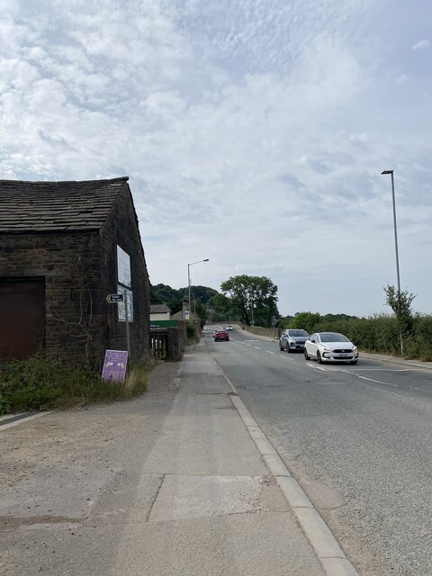
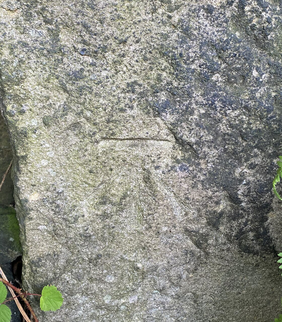
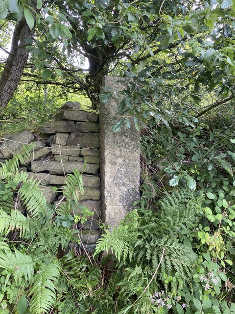
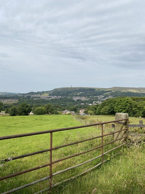
Gollinrod Wood Images
Images are sourced within 2km of 53.632882/-2.3044983 or Grid Reference SD7915. Thanks to Geograph Open Source API. All images are credited.


Gollinrod Wood is located at Grid Ref: SD7915 (Lat: 53.632882, Lng: -2.3044983)
Unitary Authority: Bury
Police Authority: Greater Manchester
What 3 Words
///costumed.clipped.siesta. Near Ramsbottom, Manchester
Nearby Locations
Related Wikis

Summerseat
Summerseat is a village in the Metropolitan Borough of Bury, Greater Manchester, England, directly south of Ramsbottom. == History == Historically part...

Summerseat railway station
Summerseat railway station is a preserved railway station that serves the village of Summerseat in Greater Manchester, England. It is part of the preserved...

Ramsbottom United F.C.
Ramsbottom United Football Club are an English football club based in Ramsbottom, Greater Manchester. Nicknamed "The Rams", they currently compete in the...
Woodhey High School
Woodhey High School is a coeducational secondary school in Ramsbottom, in the Metropolitan Borough of Bury, Greater Manchester, England.Woodhey High School...
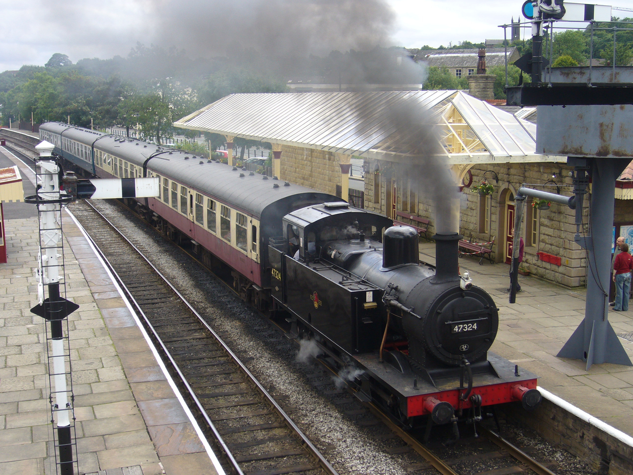
Ramsbottom railway station
Ramsbottom railway station is a heritage station serving the town of Ramsbottom in Greater Manchester, England. == History == The station was built by...
Holcombe, Greater Manchester
Holcombe is a village in Ramsbottom ward, Metropolitan Borough of Bury, in Greater Manchester, England. It is situated south of Haslingden, east of Edgworth...

Greenmount, Greater Manchester
Greenmount is a village in Tottington in the West Pennine Moors, in the northern part of the Metropolitan Borough of Bury, in Greater Manchester, England...

Walmersley
Walmersley is a suburban village in the Metropolitan Borough of Bury, Greater Manchester, England. == History == Historically in Lancashire, the name Walmersley...
Nearby Amenities
Located within 500m of 53.632882,-2.3044983Have you been to Gollinrod Wood?
Leave your review of Gollinrod Wood below (or comments, questions and feedback).