Moughton Plantation
Wood, Forest in Yorkshire Craven
England
Moughton Plantation
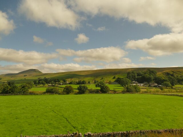
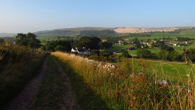
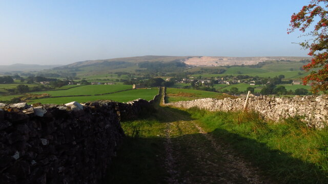
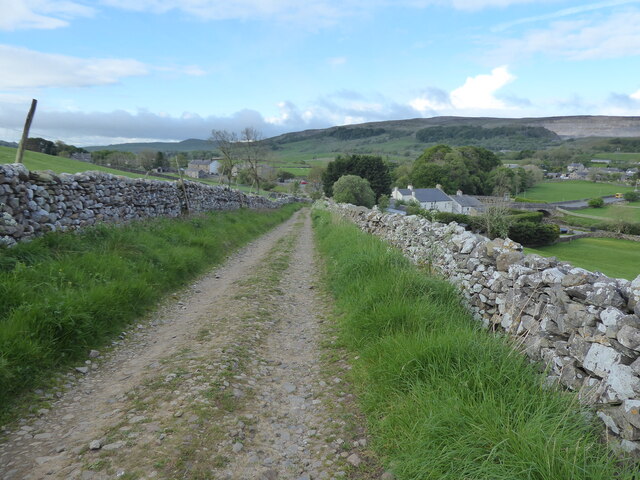
Moughton Plantation is a picturesque woodland situated in Yorkshire, England. Covering an area of approximately 500 acres, the plantation is nestled within the beautiful region of the Yorkshire Dales National Park. It is known for its diverse flora and fauna, offering visitors a tranquil and immersive natural experience.
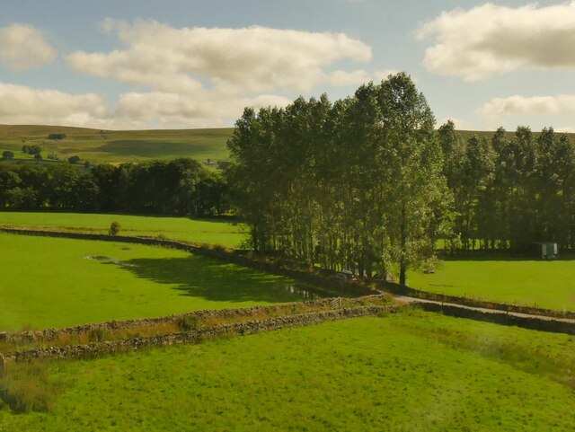
The plantation is predominantly made up of a mix of broadleaved and coniferous trees, including oak, beech, pine, and spruce. These towering trees provide a dense canopy that shades the forest floor, creating a cool and serene atmosphere. The undergrowth is adorned with an array of wildflowers, such as bluebells and primroses, adding vibrant splashes of color to the landscape.
Moughton Plantation is home to a variety of wildlife species, making it a haven for nature enthusiasts. Visitors may encounter roe deer, foxes, badgers, and a wide range of bird species, including woodpeckers and owls. The woodland also boasts a diverse insect population, with butterflies and dragonflies fluttering amidst the foliage.
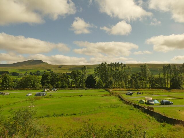
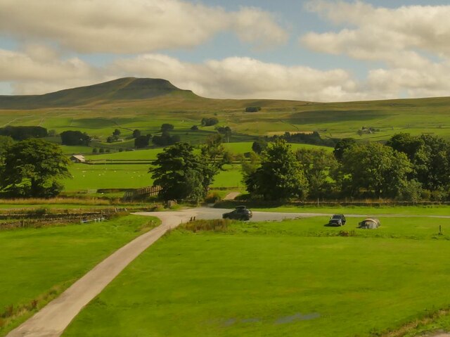
Popular among hikers and nature lovers, the plantation offers a network of well-maintained footpaths and trails, allowing visitors to explore its natural wonders at their own pace. The enchanting woodland scenery, coupled with the peaceful ambiance, makes it an ideal location for walking, birdwatching, or simply immersing oneself in the serenity of nature.
Moughton Plantation is easily accessible, with ample parking facilities and signposted entrances. It is open to the public year-round, providing an opportunity for visitors to experience the ever-changing beauty of the Yorkshire countryside.
If you have any feedback on the listing, please let us know in the comments section below.
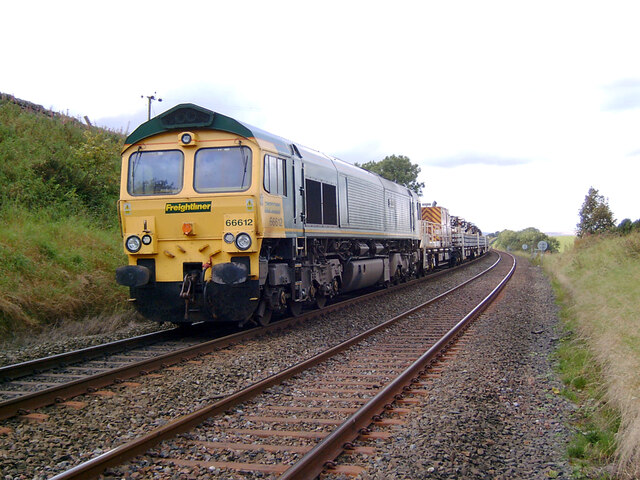
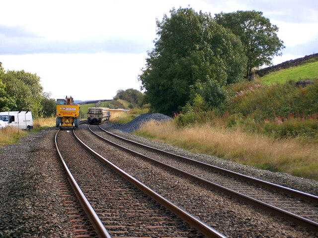
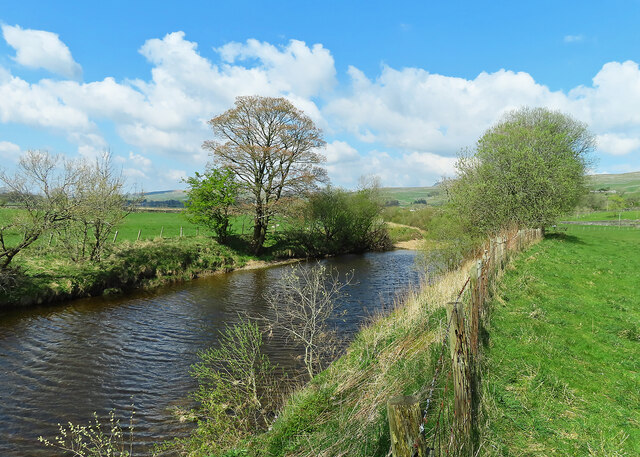
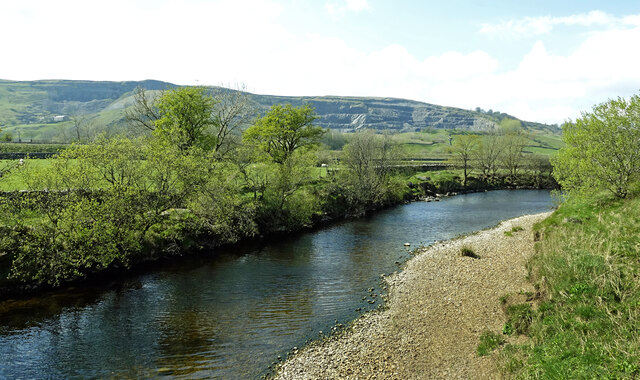
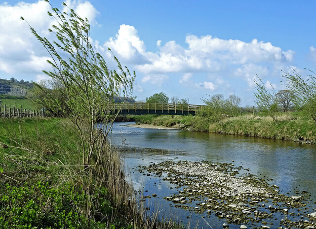
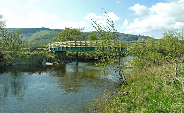
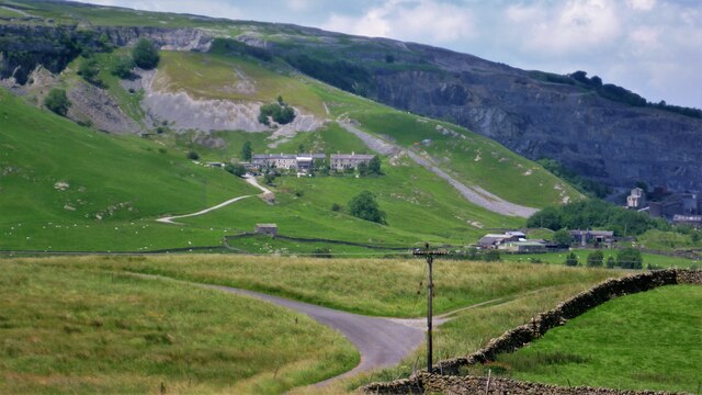
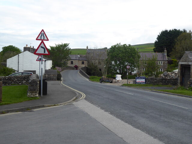
Moughton Plantation Images
Images are sourced within 2km of 54.140795/-2.3081847 or Grid Reference SD7971. Thanks to Geograph Open Source API. All images are credited.

Moughton Plantation is located at Grid Ref: SD7971 (Lat: 54.140795, Lng: -2.3081847)
Division: West Riding
Administrative County: North Yorkshire
District: Craven
Police Authority: North Yorkshire
What 3 Words
///resting.arranger.question. Near Settle, North Yorkshire
Nearby Locations
Related Wikis

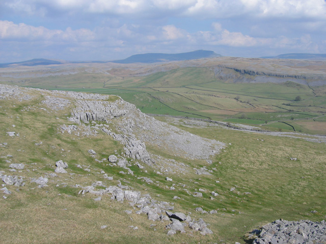
Horton Quarry
Horton Quarry is a limestone quarry near to Horton-in-Ribblesdale, North Yorkshire, England. The quarry, which is some 6 miles (9.7 km) north of Settle...

Ribblesdale
Ribblesdale is one of the Yorkshire Dales in England. It is the dale or upper valley of the River Ribble in North Yorkshire. Towns and villages in Ribblesdale...

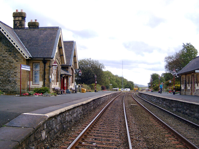
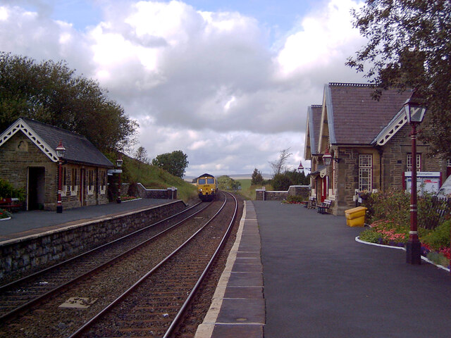
Horton-in-Ribblesdale railway station
Horton-in-Ribblesdale is a railway station on the Settle and Carlisle Line, which runs between Carlisle and Leeds via Settle. The station, situated 47...
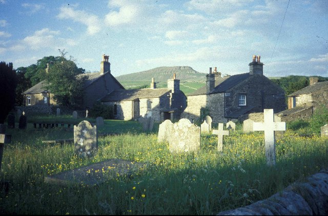
Horton in Ribblesdale
Horton in Ribblesdale is a small village and civil parish in the Craven district of North Yorkshire, England. It is situated in Ribblesdale on the Settle...

Three Peaks Cyclo-Cross
The Three Peaks Cyclo-Cross is an annual cyclo-cross event over the Yorkshire three peaks of Ingleborough, Whernside and Pen-y-ghent, in Yorkshire, England...
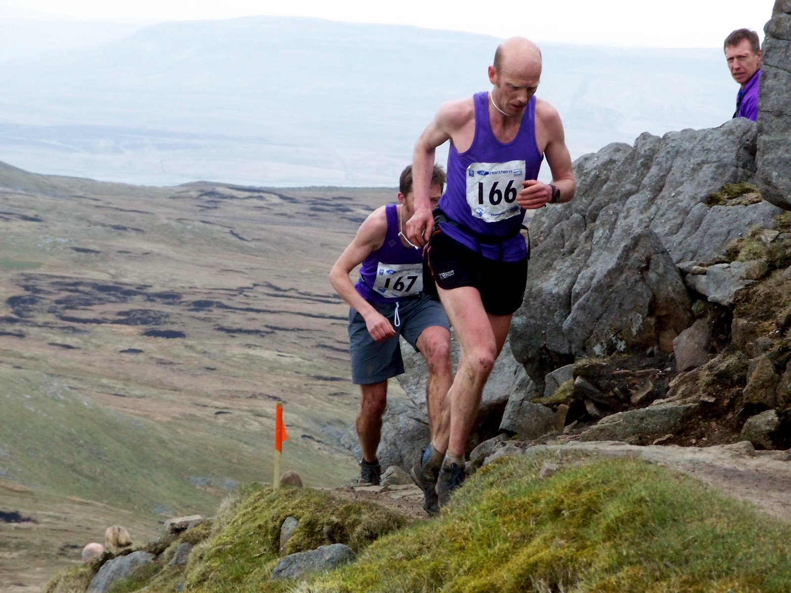
Three Peaks Race
The Three Peaks Race is a fell race held annually on the last weekend in April, starting and finishing in Horton in Ribblesdale. The course traverses the...

Brackenbottom
Brackenbottom is a village in Ribblesdale, North Yorkshire, England. == External links == Media related to Brackenbottom at Wikimedia Commons
Crummackdale
Crummackdale, (sometimes Crummack Dale), is a small valley north of the village of Austwick in the Craven District of North Yorkshire, England. The Valley...
Nearby Amenities
Located within 500m of 54.140795,-2.3081847Have you been to Moughton Plantation?
Leave your review of Moughton Plantation below (or comments, questions and feedback).