Centre Plantation
Wood, Forest in Gloucestershire
England
Centre Plantation
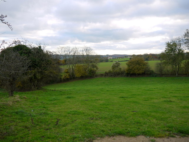
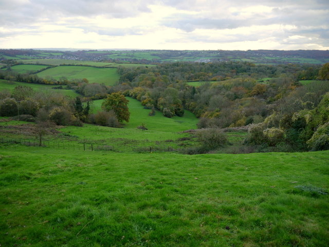
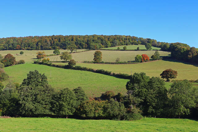
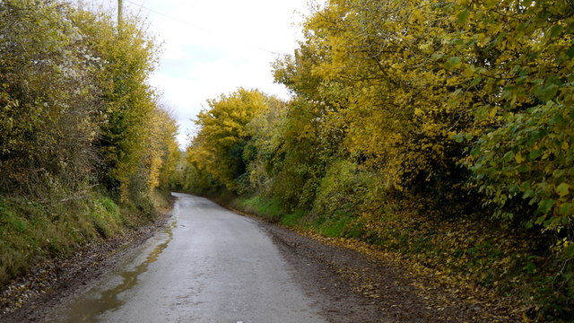
Centre Plantation is a picturesque woodland area located in Gloucestershire, England. Situated in the heart of the Forest of Dean, the plantation covers a sprawling area of approximately 200 acres. Its strategic location provides visitors with easy access to the surrounding natural beauty and a range of recreational activities.
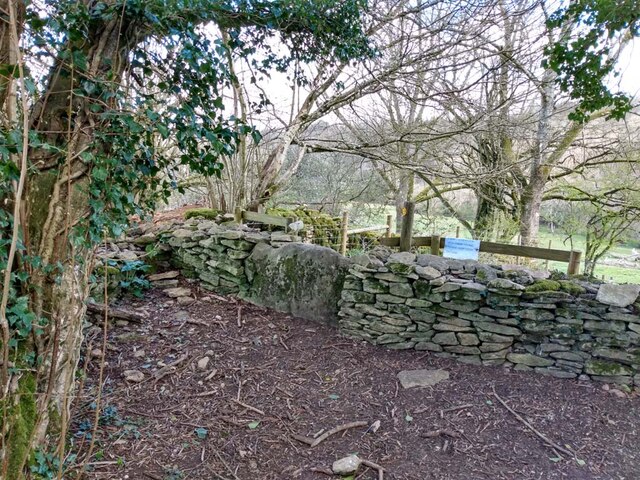
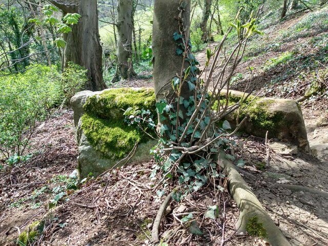
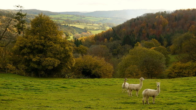
The woodland itself is predominantly composed of native broadleaf trees, including oak, beech, and birch, creating a diverse and vibrant ecosystem. The dense canopy offers shelter to an array of wildlife, making Centre Plantation a haven for nature enthusiasts and birdwatchers. Visitors can expect to spot species such as woodpeckers, owls, and various small mammals while exploring the woodland trails.
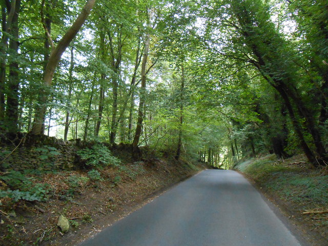
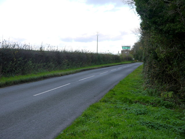
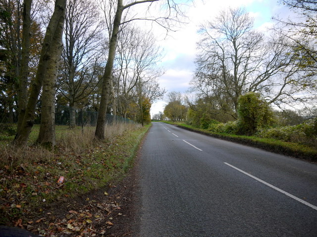
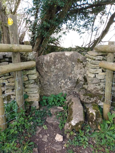
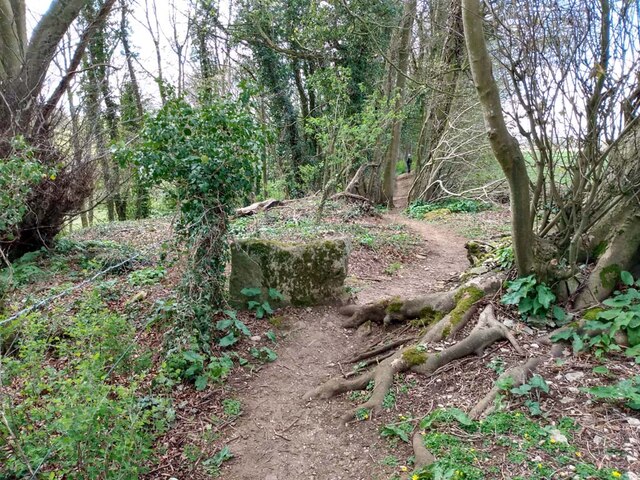
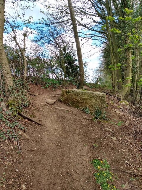
The plantation is crisscrossed by a network of well-maintained footpaths, allowing visitors to explore the area on foot or by bike. These paths meander through the woodland, revealing stunning vistas and providing opportunities for peaceful picnics or leisurely walks. For those seeking a more adventurous experience, there are designated mountain biking trails that cater to all skill levels.
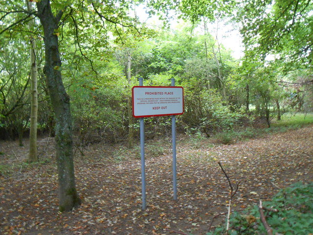
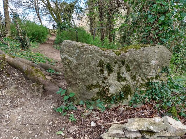
Centre Plantation is also home to several historic features, adding to its charm. The remnants of an old iron mine can be found within the woodland, providing a glimpse into the area's industrial past. Additionally, there are a few picnic areas scattered throughout the plantation where visitors can relax and enjoy the tranquil surroundings.
Overall, Centre Plantation in Gloucestershire is a captivating woodland destination that offers a blend of natural beauty, recreational activities, and historical intrigue. Whether for a peaceful stroll, an exhilarating bike ride, or an opportunity to connect with nature, this plantation provides a memorable experience for all who visit.
If you have any feedback on the listing, please let us know in the comments section below.
Centre Plantation Images
Images are sourced within 2km of 51.442461/-2.2953812 or Grid Reference ST7971. Thanks to Geograph Open Source API. All images are credited.
Centre Plantation is located at Grid Ref: ST7971 (Lat: 51.442461, Lng: -2.2953812)
Unitary Authority: South Gloucestershire
Police Authority: Avon and Somerset
What 3 Words
///receiving.slice.swift. Near Colerne, Wiltshire
Nearby Locations
Related Wikis
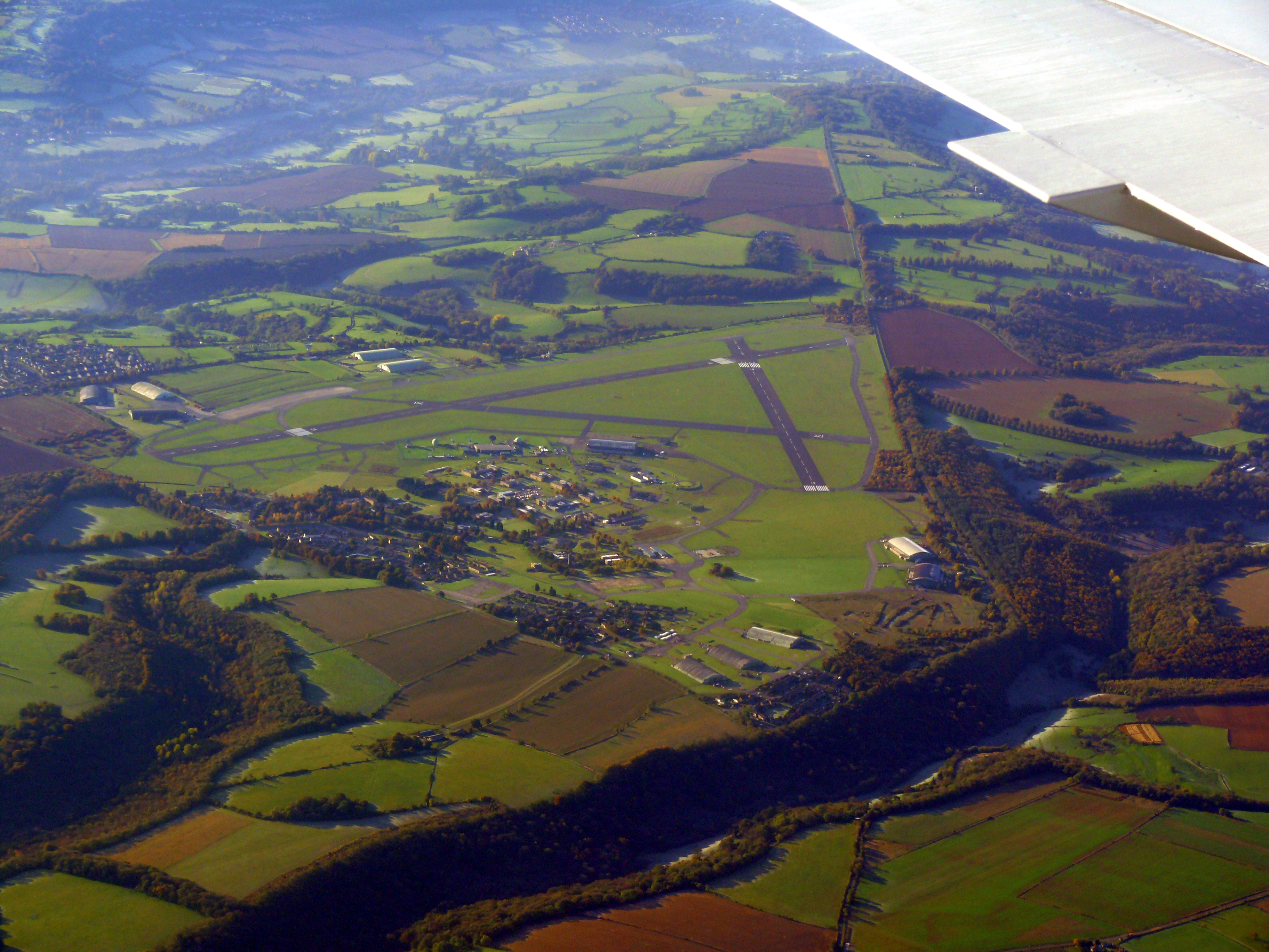
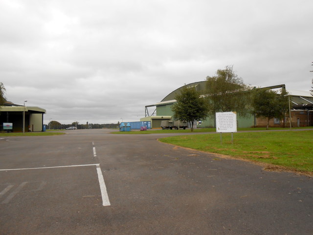
Colerne Airfield
Colerne Airfield (ICAO: EGUO), now known as Azimghur Barracks, is a British Army facility just north-west of the village of Colerne, Wiltshire, England...
RAF Colerne
Royal Air Force Colerne or more simply RAF Colerne is a former Royal Air Force station which was on the outskirts of the village of Colerne in Wiltshire...
St Catherine, Somerset
St Catherine is a small, but very spread out, rural village within the civil parish of Batheaston in Bath and North East Somerset and Marshfield Parish...
Church of St Catherine, St Catherine
The Church of St Catherine is an Anglican parish church in St Catherine, Somerset, England. It was built in the 12th century as a chapel of ease of Bath...
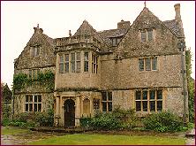
St Catherine's Court
St Catherine's Court is a manor house in a secluded valley north of Bath, Somerset, England. It is a Grade I listed property. The gardens are Grade II...

Colerne
Colerne is a village and civil parish in north Wiltshire, England. The village is about 3.5 miles (6 km) west of the town of Corsham and 7 miles (11 km...

Marshfield, Gloucestershire
Marshfield is a town in the local government area of South Gloucestershire, England, on the borders of the counties of Wiltshire and Somerset. Toponymy...

Frank's Wood
Frank's Wood is a woodland in Wiltshire, England, on the north-east edge of Colerne village. It covers an area of 1.96 hectares (4.84 acres). It is owned...
Nearby Amenities
Located within 500m of 51.442461,-2.2953812Have you been to Centre Plantation?
Leave your review of Centre Plantation below (or comments, questions and feedback).