Cedar Plantation
Wood, Forest in Gloucestershire
England
Cedar Plantation
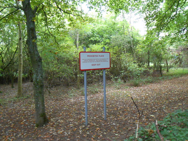
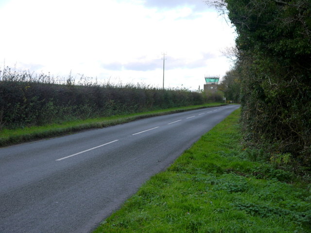
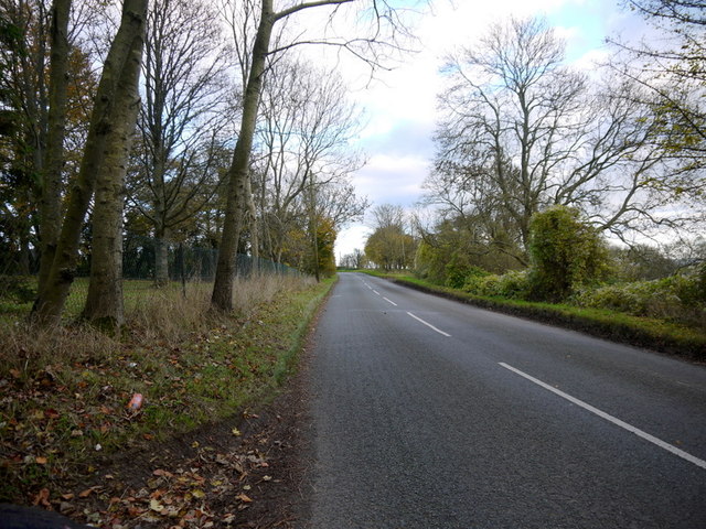
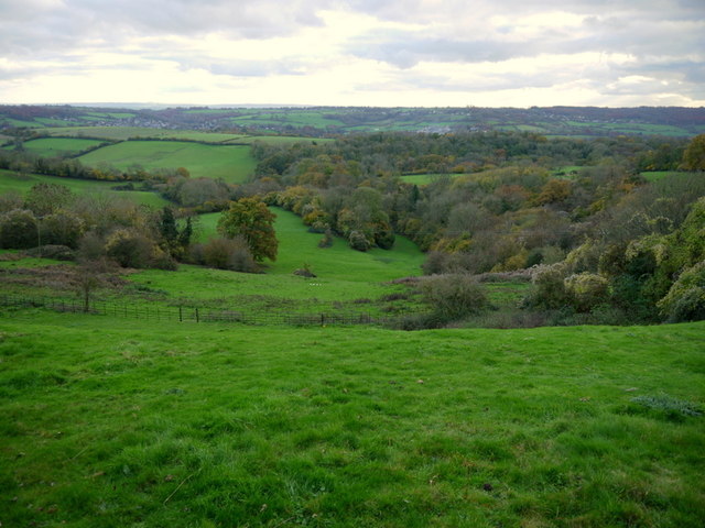
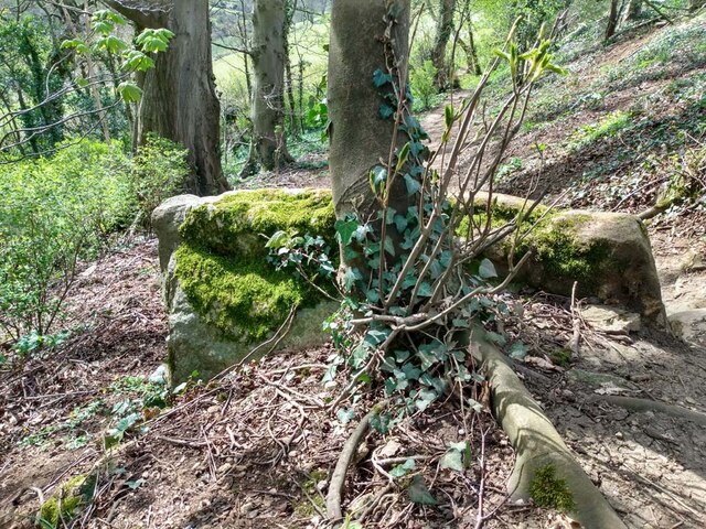
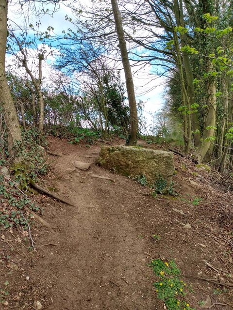
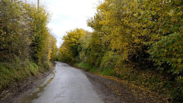
Cedar Plantation is a breathtaking woodland located in Gloucestershire, England. It spans across a vast area and is renowned for its majestic cedar trees, which dominate the landscape and give the plantation its name. This enchanting forest is a popular destination for nature enthusiasts, photographers, and those seeking tranquility amidst the beauty of nature.
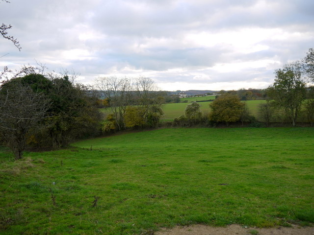
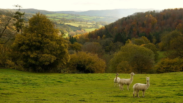
The plantation is home to a diverse range of flora and fauna, creating a thriving ecosystem. Besides the imposing cedars, visitors can admire a variety of other tree species, including oak, beech, and pine. The forest floor is adorned with a rich carpet of wildflowers, ferns, and mosses, adding to the magical atmosphere.
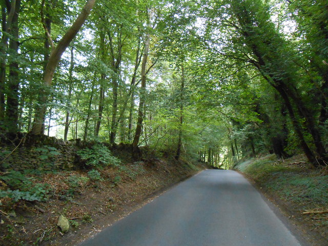
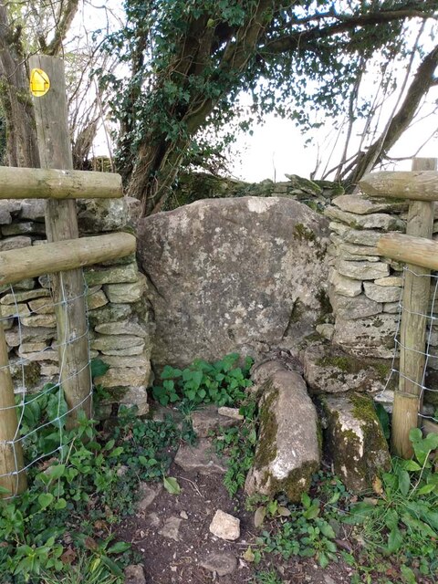
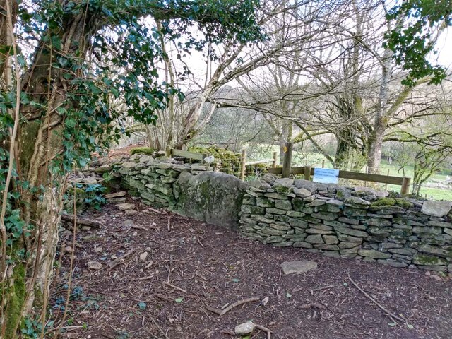
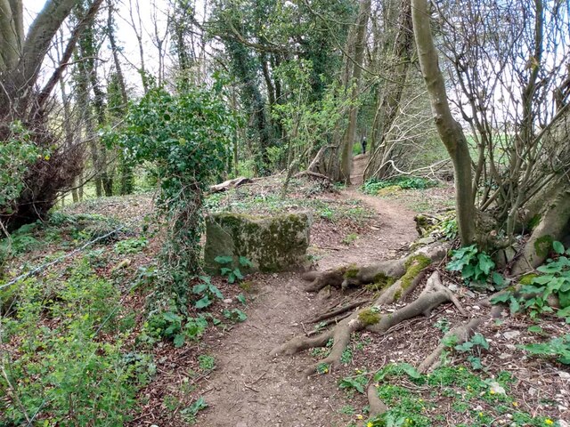
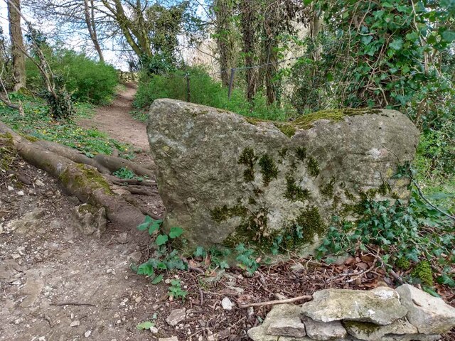
Numerous walking trails wind through Cedar Plantation, allowing visitors to explore its hidden treasures. These trails cater to all levels of fitness and offer opportunities to spot wildlife, such as deer, foxes, and a myriad of bird species. The plantation is also dotted with small streams and ponds, enhancing its natural allure.
Cedar Plantation has a long history and has been well-preserved over the years. It is a designated Area of Outstanding Natural Beauty, ensuring its protection for future generations to enjoy. The plantation is managed by a team of dedicated conservationists who work tirelessly to maintain its ecological integrity.
Visitors to Cedar Plantation can immerse themselves in the peaceful ambiance, take in the splendid views, and experience the wonders of nature. Whether it's a leisurely stroll, a picnic, or simply finding solace in the serenity of the forest, this remarkable woodland offers an unforgettable experience for all who visit.
If you have any feedback on the listing, please let us know in the comments section below.
Cedar Plantation Images
Images are sourced within 2km of 51.443928/-2.2913043 or Grid Reference ST7971. Thanks to Geograph Open Source API. All images are credited.
Cedar Plantation is located at Grid Ref: ST7971 (Lat: 51.443928, Lng: -2.2913043)
Unitary Authority: South Gloucestershire
Police Authority: Avon and Somerset
What 3 Words
///flows.collected.force. Near Colerne, Wiltshire
Nearby Locations
Related Wikis
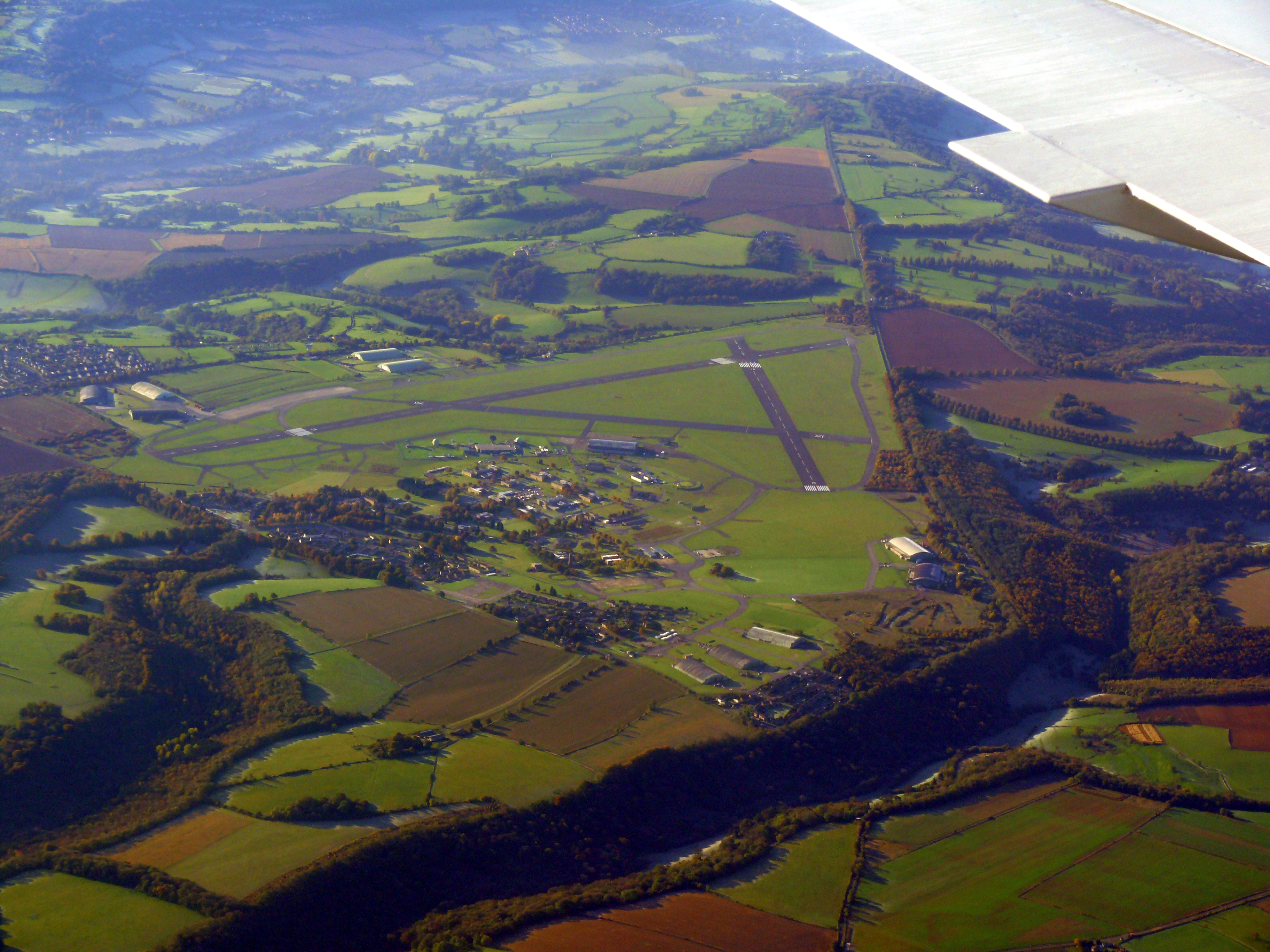
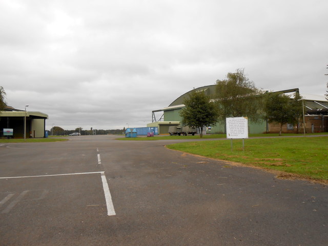
Colerne Airfield
Colerne Airfield (ICAO: EGUO), now known as Azimghur Barracks, is a British Army facility just north-west of the village of Colerne, Wiltshire, England...
RAF Colerne
Royal Air Force Colerne or more simply RAF Colerne is a former Royal Air Force station which was on the outskirts of the village of Colerne in Wiltshire...

Colerne
Colerne is a village and civil parish in north Wiltshire, England. The village is about 3.5 miles (6 km) west of the town of Corsham and 7 miles (11 km...
St Catherine, Somerset
St Catherine is a small, but very spread out, rural village within the civil parish of Batheaston in Bath and North East Somerset and Marshfield Parish...

Frank's Wood
Frank's Wood is a woodland in Wiltshire, England, on the north-east edge of Colerne village. It covers an area of 1.96 hectares (4.84 acres). It is owned...
Church of St Catherine, St Catherine
The Church of St Catherine is an Anglican parish church in St Catherine, Somerset, England. It was built in the 12th century as a chapel of ease of Bath...
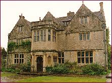
St Catherine's Court
St Catherine's Court is a manor house in a secluded valley north of Bath, Somerset, England. It is a Grade I listed property. The gardens are Grade II...

Marshfield, Gloucestershire
Marshfield is a town in the local government area of South Gloucestershire, England, on the borders of the counties of Wiltshire and Somerset. Toponymy...
Nearby Amenities
Located within 500m of 51.443928,-2.2913043Have you been to Cedar Plantation?
Leave your review of Cedar Plantation below (or comments, questions and feedback).