Diamond Wood
Wood, Forest in Gloucestershire
England
Diamond Wood
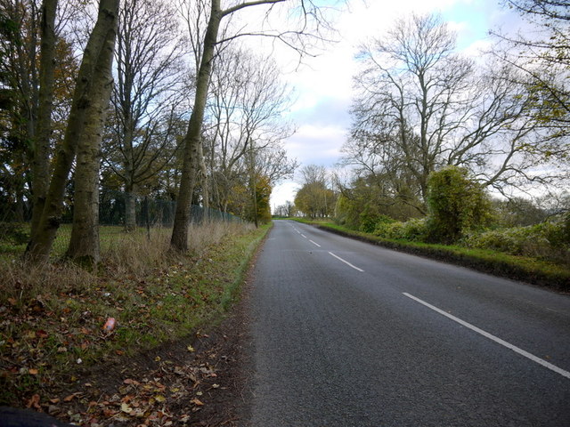
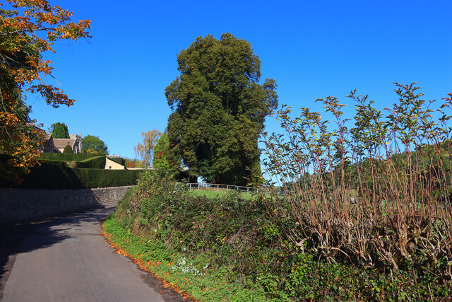
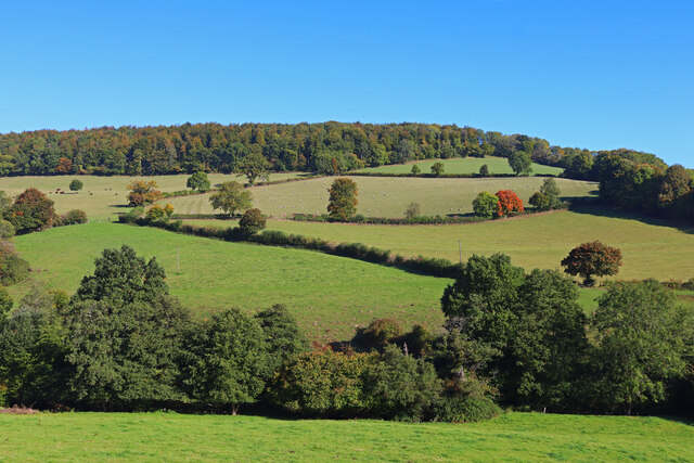
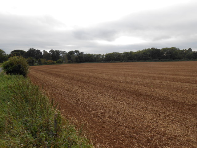
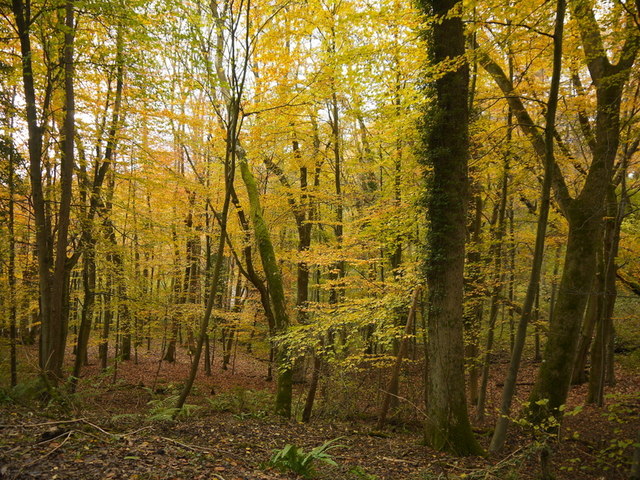
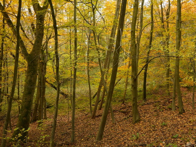
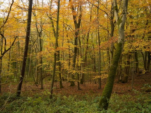
Diamond Wood is a picturesque forest located in the county of Gloucestershire, England. Situated near the village of Wood, this woodland area covers an expansive area of approximately 50 acres. It is a popular destination for nature enthusiasts, hikers, and those seeking a tranquil escape from the bustling city life.
The wood takes its name from the abundance of diamond-shaped openings or clearings within the forest. These clearings allow for sunlight to filter through the dense canopy of trees, creating a unique and mesmerizing play of light and shadows. The interplay between sunlight and shade adds to the ethereal beauty of the wood, making it an enchanting sight for visitors.
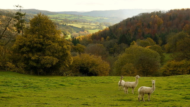
Diamond Wood boasts a diverse range of tree species, including oak, beech, and birch. These majestic trees provide a canopy that shelters a rich and vibrant undergrowth of ferns, mosses, and wildflowers. The forest floor is adorned with a myriad of colors, especially during spring when bluebells and primroses bloom, creating a carpet of vibrant hues.
The wood is home to an array of wildlife, making it a haven for nature lovers. Visitors can spot various bird species, such as woodpeckers and owls, as well as mammals like deer and foxes. The tranquil environment also attracts a variety of insects and butterflies.
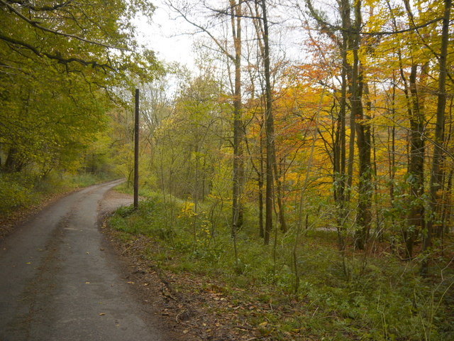
Easily accessible by foot, Diamond Wood offers several well-maintained walking trails, allowing visitors to explore and immerse themselves in the natural beauty that the forest has to offer. With its serene atmosphere, breathtaking scenery, and abundant wildlife, Diamond Wood is truly a hidden gem in Gloucestershire.
If you have any feedback on the listing, please let us know in the comments section below.
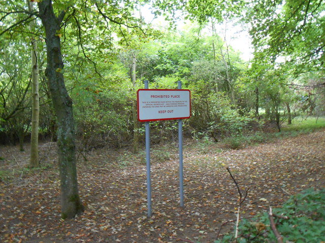
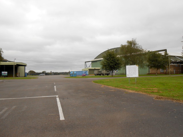
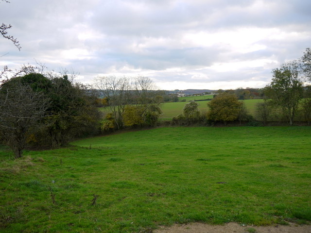
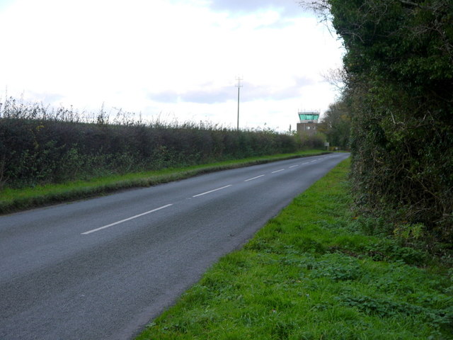
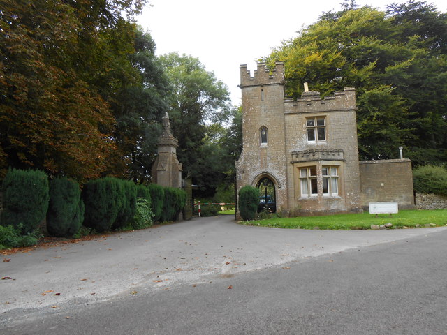
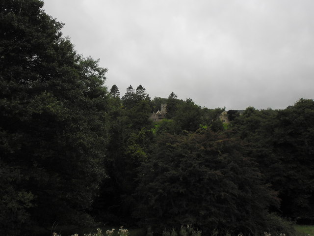
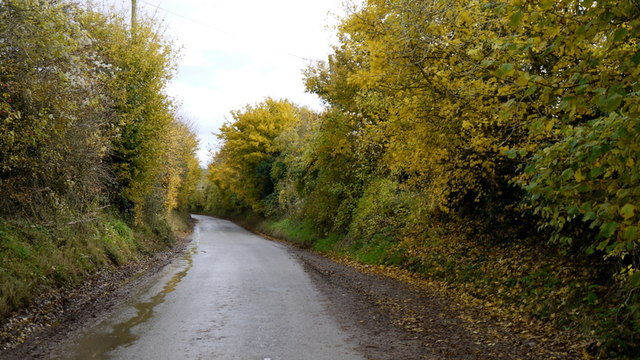
Diamond Wood Images
Images are sourced within 2km of 51.438497/-2.3019448 or Grid Reference ST7971. Thanks to Geograph Open Source API. All images are credited.


Diamond Wood is located at Grid Ref: ST7971 (Lat: 51.438497, Lng: -2.3019448)
Unitary Authority: South Gloucestershire
Police Authority: Avon and Somerset
What 3 Words
///volunteered.complies.stung. Near Marshfield, Gloucestershire
Nearby Locations
Related Wikis
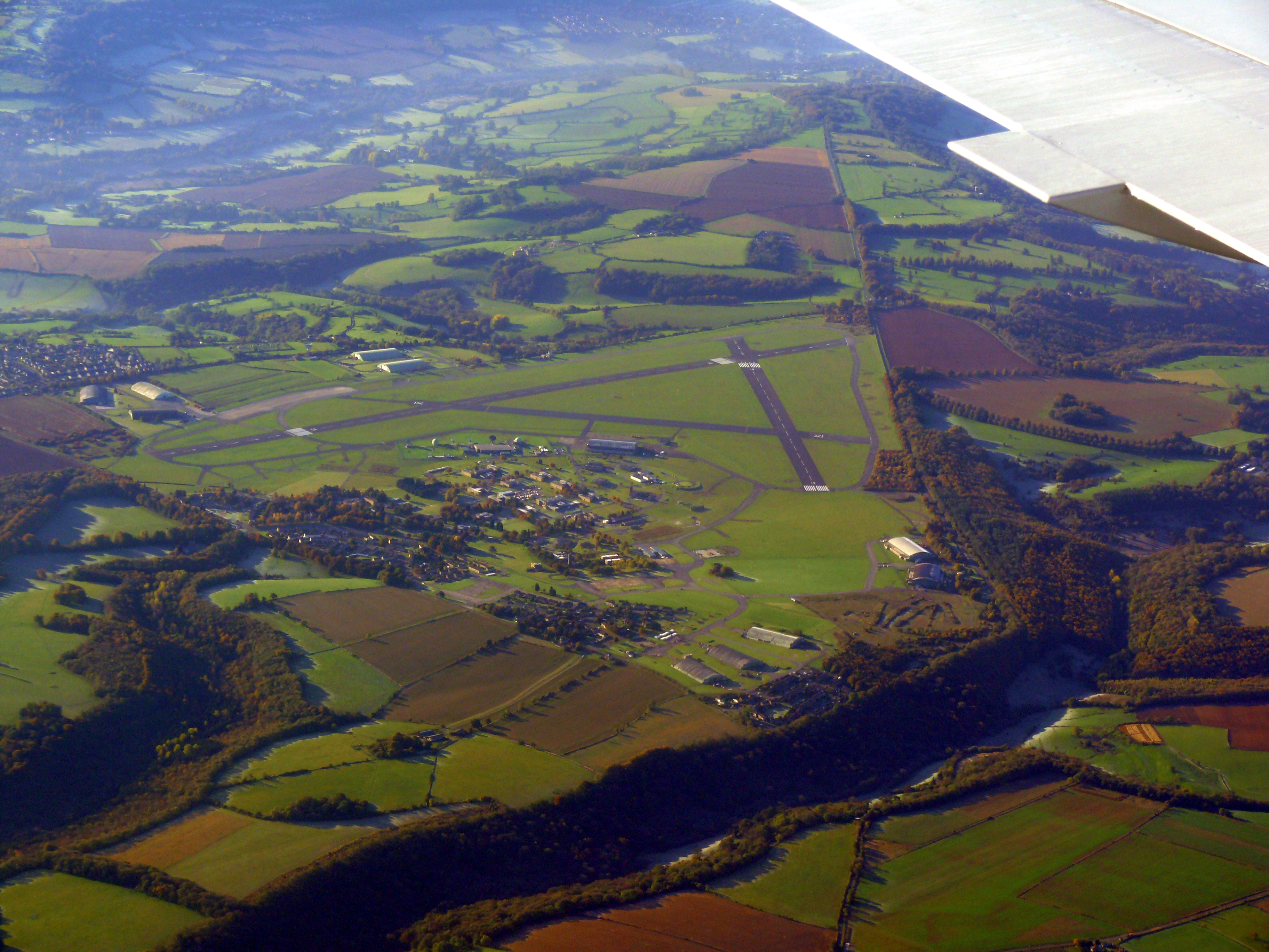
Colerne Airfield
Colerne Airfield (ICAO: EGUO), now known as Azimghur Barracks, is a British Army facility just north-west of the village of Colerne, Wiltshire, England...
RAF Colerne
Royal Air Force Colerne or more simply RAF Colerne is a former Royal Air Force station which was on the outskirts of the village of Colerne in Wiltshire...
St Catherine, Somerset
St Catherine is a small, but very spread out, rural village within the civil parish of Batheaston in Bath and North East Somerset and Marshfield Parish...
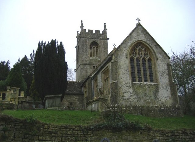
Church of St Catherine, St Catherine
The Church of St Catherine is an Anglican parish church in St Catherine, Somerset, England. It was built in the 12th century as a chapel of ease of Bath...
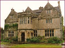
St Catherine's Court
St Catherine's Court is a manor house in a secluded valley north of Bath, Somerset, England. It is a Grade I listed property. The gardens are Grade II...

Colerne
Colerne is a village and civil parish in north Wiltshire, England. The village is about 3.5 miles (6 km) west of the town of Corsham and 7 miles (11 km...

Marshfield, Gloucestershire
Marshfield is a town in the local government area of South Gloucestershire, England, on the borders of the counties of Wiltshire and Somerset. Toponymy...

Eagle House (suffragette's rest)
Eagle House is a Grade II* listed building in Batheaston, Somerset, near Bath. Before World War I the house had extensive grounds. When Emily Blathwayt...
Nearby Amenities
Located within 500m of 51.438497,-2.3019448Have you been to Diamond Wood?
Leave your review of Diamond Wood below (or comments, questions and feedback).