West Bagber Copse

Wood, Forest in Dorset

England

West Bagber Copse

Old Direction Sign - Signpost by Gallows Corner, near Milton Abbas Annulus and bar finial - 3 arms; Dorset halo with NGR by the UC road, in parish of Milton Abbas (North Dorset District), Milton Abbas, crossroads South of village just South of Long Ash Farm.

Surveyed

Milestone Society National ID: DO_ST7900
Old Direction Sign - Signpost by Gallows Corner, near Milton Abbas Credit: Milestone Society

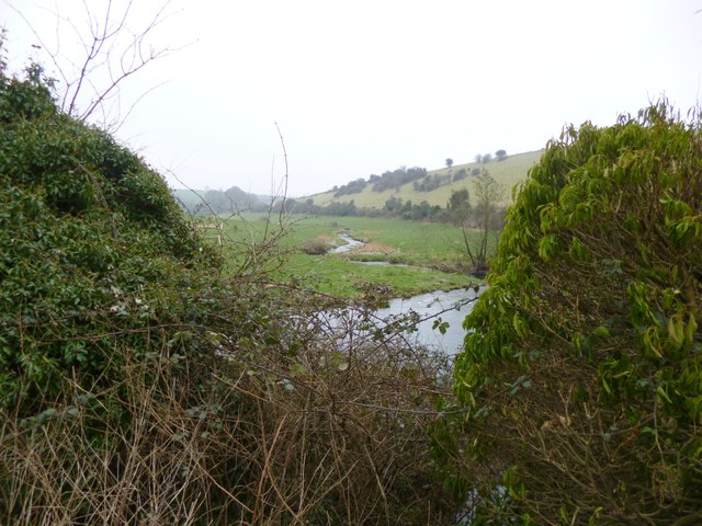
West Bagber Copse is a picturesque woodland located in the county of Dorset, England. Situated near the charming village of Hazelbury Bryan, this dense forest covers an area of approximately 30 acres and is a haven for nature enthusiasts and outdoor enthusiasts alike.

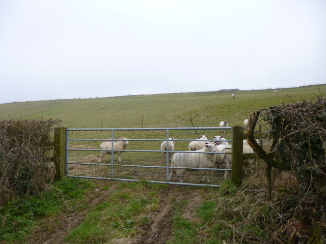
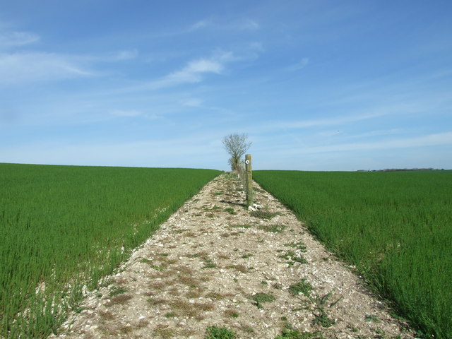
The copse is predominantly composed of native broadleaf trees such as oak, beech, and ash, which create a lush and vibrant canopy. These trees provide a habitat for a variety of wildlife, including birds, mammals, and insects. The forest floor is covered with a rich carpet of ferns, bluebells, and wild garlic during the spring and summer months, adding to the beauty of the surroundings.

The woodland is crisscrossed with a network of well-maintained footpaths, allowing visitors to explore the area and fully immerse themselves in nature. There are also several picnic spots and benches strategically placed throughout the copse, providing a perfect setting for a leisurely lunch or a moment of relaxation.

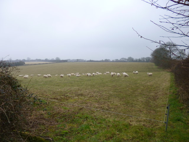
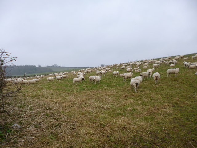
West Bagber Copse is known for its tranquil atmosphere and offers a peaceful retreat from the hustle and bustle of everyday life. It is a popular destination for walking, cycling, and wildlife spotting. The copse is also home to a diverse range of bird species, making it a favorite spot for birdwatchers.

Overall, West Bagber Copse is a hidden gem in Dorset, offering visitors a chance to connect with nature and enjoy the serenity of a beautiful woodland setting. Whether you are a nature lover, an outdoor enthusiast, or simply seeking a peaceful escape, this forest is sure to captivate you with its natural beauty and abundant wildlife.

If you have any feedback on the listing, please let us know in the comments section below.

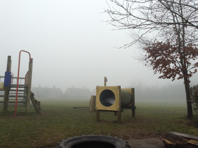
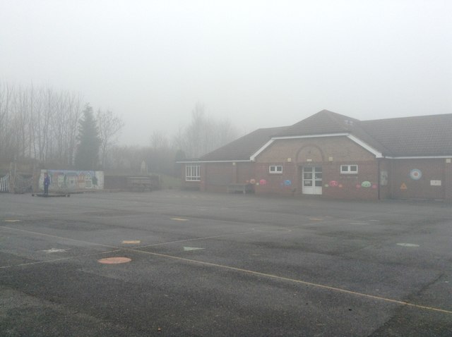
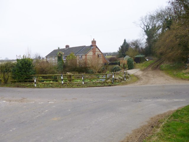
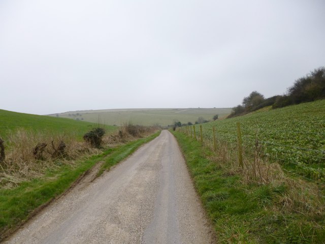
West Bagber Copse Images

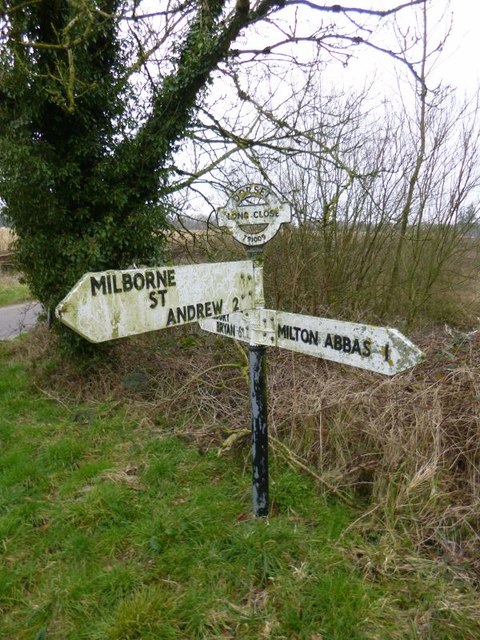
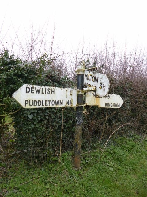
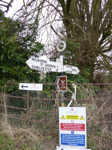
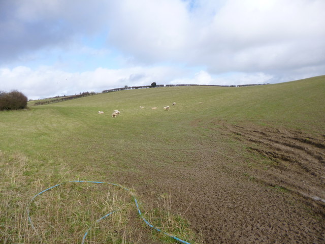
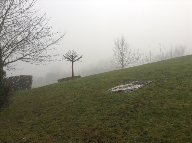
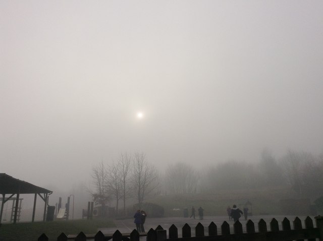
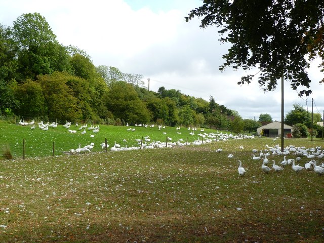
Images are sourced within 2km of 50.79515/-2.2984153 or Grid Reference SY7999. Thanks to Geograph Open Source API. All images are credited.

Old Direction Sign - Signpost by Gallows Corner, near Milton Abbas Annulus and bar finial - 3 arms; Dorset halo with NGR by the UC road, in parish of Milton Abbas (North Dorset District), Milton Abbas, crossroads South of village just South of Long Ash Farm.

Surveyed

Milestone Society National ID: DO_ST7900
Old Direction Sign - Signpost by Gallows Corner, near Milton Abbas
Annulus and bar finial - 3 arms; Dorset halo with NGR by the UC road, in parish of Milton Abbas (North Dorset District), Milton Abbas, crossroads South of village just South of Long Ash Farm. Surveyed Milestone Society National ID: DO_ST7900
Old Direction Sign - Signpost in Cheselbourne parish Annulus and bar finial - 3 arms; Dorset halo with NGR by the UC road, in parish of Cheselbourne (North Dorset District), South of Streetway Lane by junction of UC road towards Milton Abbas, on verge.

Surveyed

Milestone Society National ID: DO_ST7700A
Old Direction Sign - Signpost in Cheselbourne parish
Annulus and bar finial - 3 arms; Dorset halo with NGR by the UC road, in parish of Cheselbourne (North Dorset District), South of Streetway Lane by junction of UC road towards Milton Abbas, on verge. Surveyed Milestone Society National ID: DO_ST7700A
Old Direction Sign - Signpost by Hewish Farm, Milton Abbas parish Annulus finial - 2 arms; Dorset halo without NGR by the UC road, in parish of Milton Abbas (North Dorset District), Hewish Farm, junction with UC road to Milton Abbas, on embankment.

Surveyed

Milestone Society National ID: DO_ST8000
Old Direction Sign - Signpost by Hewish Farm, Milton Abbas parish
Annulus finial - 2 arms; Dorset halo without NGR by the UC road, in parish of Milton Abbas (North Dorset District), Hewish Farm, junction with UC road to Milton Abbas, on embankment. Surveyed Milestone Society National ID: DO_ST8000
Sunrise over Milborne St Andrew Dolphin Class, Milborne First School, first submission to Geograph. Taken at 8am.
Sunrise over Milborne St Andrew
Dolphin Class, Milborne First School, first submission to Geograph. Taken at 8am.
Fog at Milborne First school Taken by Turtles Class at 2pm
Fog at Milborne First school
Taken by Turtles Class at 2pm
Milborne School in the fog Taken by Turtles class at 2pm
Milborne School in the fog
Taken by Turtles class at 2pm
Milton Abbas, Spring Cottage
Cheselbourne, country lane From near Long Ash Farm to Cheselbourne; Rose Hill in the distance.
Cheselbourne, country lane
From near Long Ash Farm to Cheselbourne; Rose Hill in the distance.
Cheselbourne, Devil's Brook Looking downstream; the brook joins River Piddle at Athelhampton.
Cheselbourne, Devil's Brook
Looking downstream; the brook joins River Piddle at Athelhampton.
Cheselbourne, sheep grazing On Rose Hill.
Cheselbourne, sheep grazing
On Rose Hill.
Milton Abbas, sheep grazing
Milton Abbas, sheep grazing On downland near Long Close Farm.
Milton Abbas, sheep grazing
On downland near Long Close Farm.
Milborne school field at 2pm Taken by Turtles class (year 2)
Milborne school field at 2pm
Taken by Turtles class (year 2)
Fog at Milborne First School Taken by Lewis B from Turtles class at 2pm
Fog at Milborne First School
Taken by Lewis B from Turtles class at 2pm
Hewish, geese Free-range, and very vocal, next to Hewish Farm: <span class="nowrap"><a title="http://www.bbc.co.uk/dorset/content/articles/2008/11/27/geese_feature.shtml" rel="nofollow ugc noopener" href="http://www.bbc.co.uk/dorset/content/articles/2008/11/27/geese_feature.shtml">Link</a><img style="margin-left:2px;" alt="External link" title="External link - shift click to open in new window" src="https://s1.geograph.org.uk/img/external.png" width="10" height="10"/></span>
Hewish, geese
Free-range, and very vocal, next to Hewish Farm: LinkExternal link
Bridleway Across A Field Of Linseed
Milton Abbas, Hewish Farmhouse The geese <a href="https://www.geograph.org.uk/photo/2591585">ST8000 : Hewish, geese</a> were nowhere to be seen or heard today.
Milton Abbas, Hewish Farmhouse
The geese ST8000 : Hewish, geese were nowhere to be seen or heard today.
Show me another place!

West Bagber Copse is located at Grid Ref: SY7999 (Lat: 50.79515, Lng: -2.2984153)

Unitary Authority: Dorset

Police Authority: Dorset

What 3 Words

///twinkling.starfish.pony. Near Milborne St Andrew, Dorset

Related Wikis

Dorset (district)

Dorset is a unitary authority area, existing since 1 April 2019, in the ceremonial county of Dorset, England. It covers all of the ceremonial county except...

Dorset

Dorset ( DOR-sit; archaically: Dorsetshire DOR-sit-sheer, -⁠shər) is a ceremonial county in South West England. It is bordered by Somerset to the north...

Dewlish (liberty)

Dewlish Liberty was a liberty in the county of Dorset, England, containing the following parishes: Dewlish Milborne St Andrew (part) == See also == List...

Dewlish

Dewlish is a village and civil parish in the county of Dorset in southern England, and is situated approximately 7 miles (11 km) north-east of the county...

Nearby Amenities

Located within 500m of 50.79515,-2.2984153
The data included in this document is from www.openstreetmap.org. The data is made available under ODbL.

Have you been to West Bagber Copse?

Leave your review of West Bagber Copse below (or comments, questions and feedback).