Oulton Coppice
Wood, Forest in Staffordshire Stafford
England
Oulton Coppice
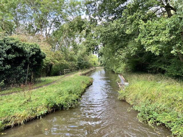
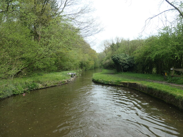
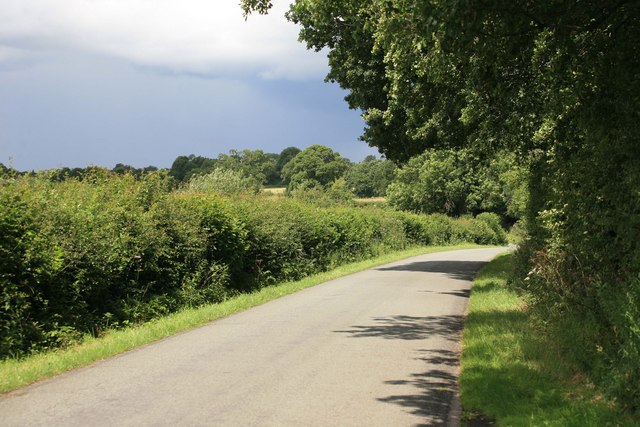
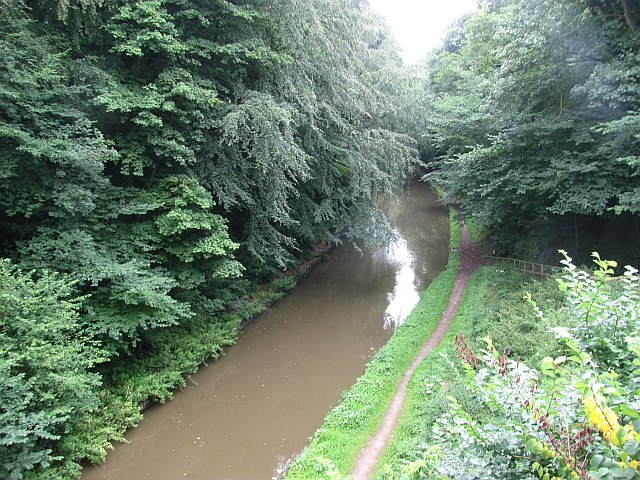
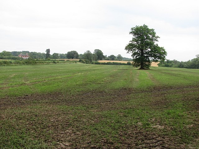
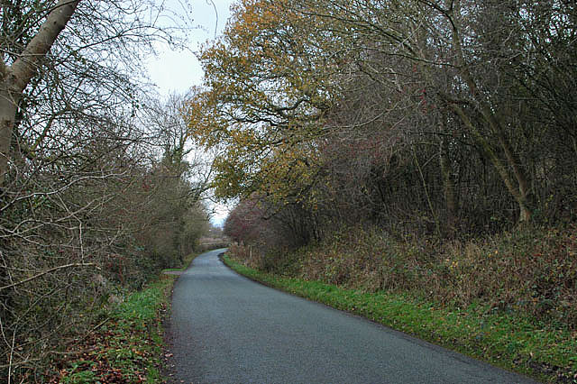
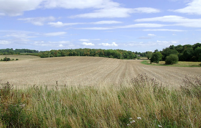
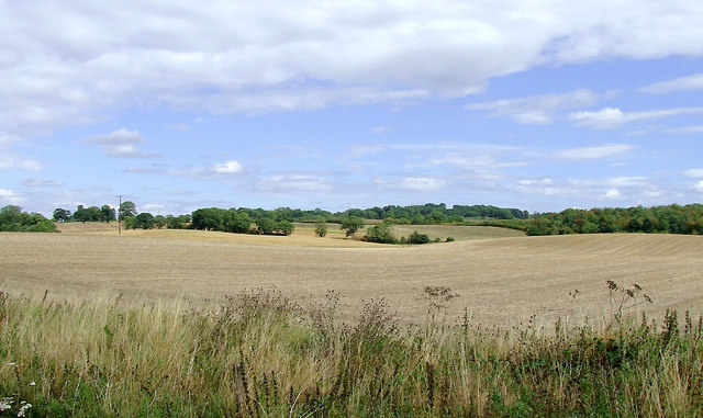
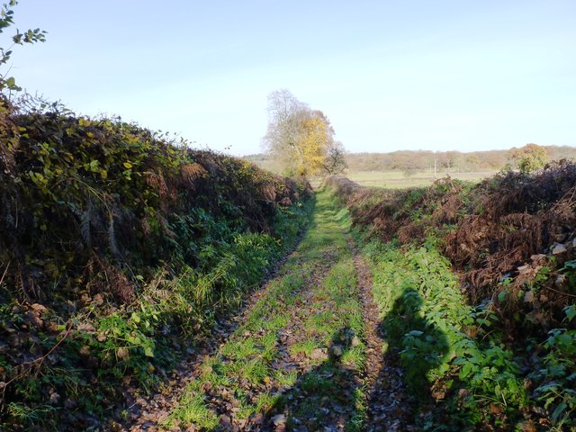
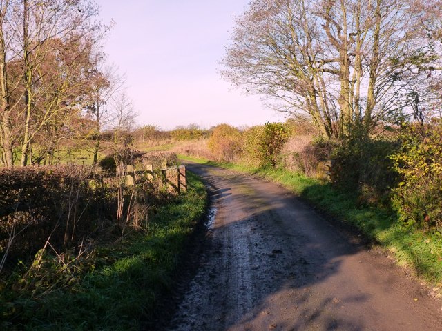
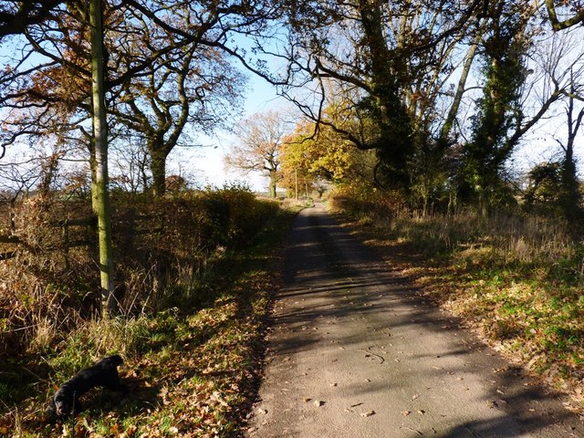
Oulton Coppice is a picturesque woodland area located in Staffordshire, England. Covering an area of approximately 100 acres, it is a popular destination for nature lovers, hikers, and wildlife enthusiasts. The coppice is situated near the village of Oulton and can be easily accessed by a network of footpaths and trails.
The woodland is predominantly composed of broadleaf trees, including oak, birch, and beech, which create a dense canopy overhead. This provides a cool and peaceful atmosphere, making it an ideal spot for relaxation and exploration. The forest floor is adorned with an array of wildflowers, ferns, and mosses, adding to its natural beauty.
Oulton Coppice is home to a diverse range of wildlife, including various species of birds, mammals, and insects. Birdwatchers may spot woodland birds such as woodpeckers, owls, and warblers. Deer, foxes, and badgers are some of the mammals that inhabit the area, while butterflies and dragonflies are commonly seen during the warmer months.
The woodland is well-maintained, with regular conservation efforts to preserve its natural habitat. It is managed by the local council and volunteers who ensure the footpaths are clear and safe for visitors. There are also information boards scattered throughout the coppice, providing educational insights into the local flora and fauna.
Visitors to Oulton Coppice can enjoy a peaceful stroll along the winding paths, take in the tranquil surroundings, and immerse themselves in nature. It is a perfect destination for those seeking a break from the hustle and bustle of everyday life and a chance to reconnect with the beauty of the natural world.
If you have any feedback on the listing, please let us know in the comments section below.
Oulton Coppice Images
Images are sourced within 2km of 52.796871/-2.3119257 or Grid Reference SJ7922. Thanks to Geograph Open Source API. All images are credited.


Oulton Coppice is located at Grid Ref: SJ7922 (Lat: 52.796871, Lng: -2.3119257)
Administrative County: Staffordshire
District: Stafford
Police Authority: Staffordshire
What 3 Words
///marching.revisits.driven. Near Gnosall, Staffordshire
Nearby Locations
Related Wikis

Gnosall Rural District
Gnosall was a rural district in Staffordshire, England from 1894 to 1934. It was formed under the Local Government Act 1894 from that part of the Newport...

Norbury Junction
Norbury Junction (grid reference SJ793228) is a hamlet and former canal junction which lies about 1 mile (1.6 km) to the south east of Norbury, in Staffordshire...

Norbury, Staffordshire
Norbury is a village and civil parish in the Borough of Stafford, in west Staffordshire, England. The population as taken at the 2011 census was 371.It...
Loynton
Loynton is a hamlet on the A519 near the villages of Norbury, and Woodseaves in Staffordshire, England. It lies in the civil parish of Norbury. Loynton...
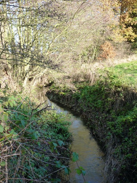
Back Brook, English Midlands
The Back Brook is a minor watercourse in the English counties of Shropshire and Staffordshire, in places forming the boundary between the two, and located...

Loynton Moss
Loynton Moss is a nature reserve of the Staffordshire Wildlife Trust, near the village of Woodseaves, in Staffordshire, England. It is adjacent to the...

Aqualate Mere
Aqualate Mere, in Staffordshire, is the largest natural lake in the English Midlands and is managed as a national nature reserve (NNR) by Natural England...

Aqualate Hall
Aqualate Hall, a 20th-century country house, is located in Forton, Staffordshire, England, some 2 miles (3.2 km) east of the market town of Newport, Shropshire...
Nearby Amenities
Located within 500m of 52.796871,-2.3119257Have you been to Oulton Coppice?
Leave your review of Oulton Coppice below (or comments, questions and feedback).