Lower Woods

Wood, Forest in Somerset Mendip

England

Lower Woods

Road to the Longleat Safari park
Road to the Longleat Safari park Credit: Helen Steed

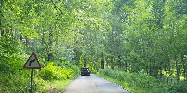
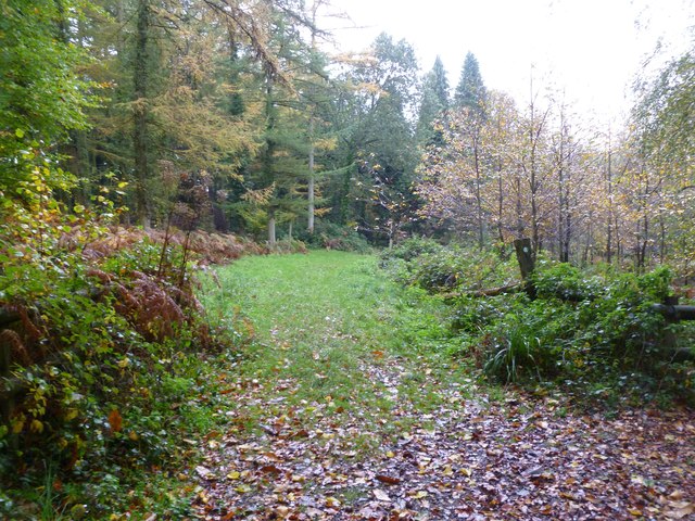
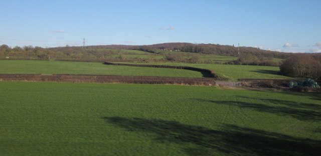
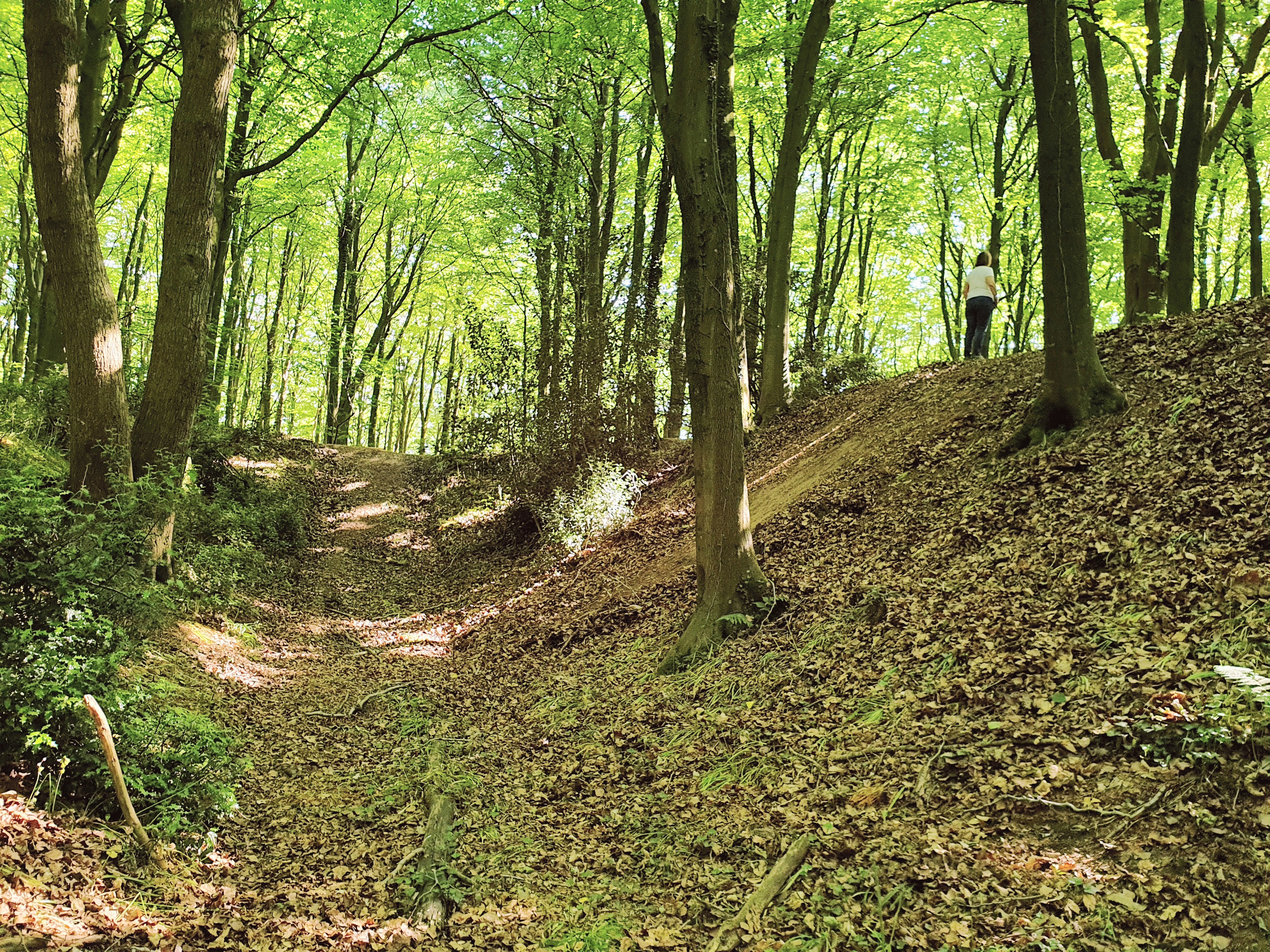
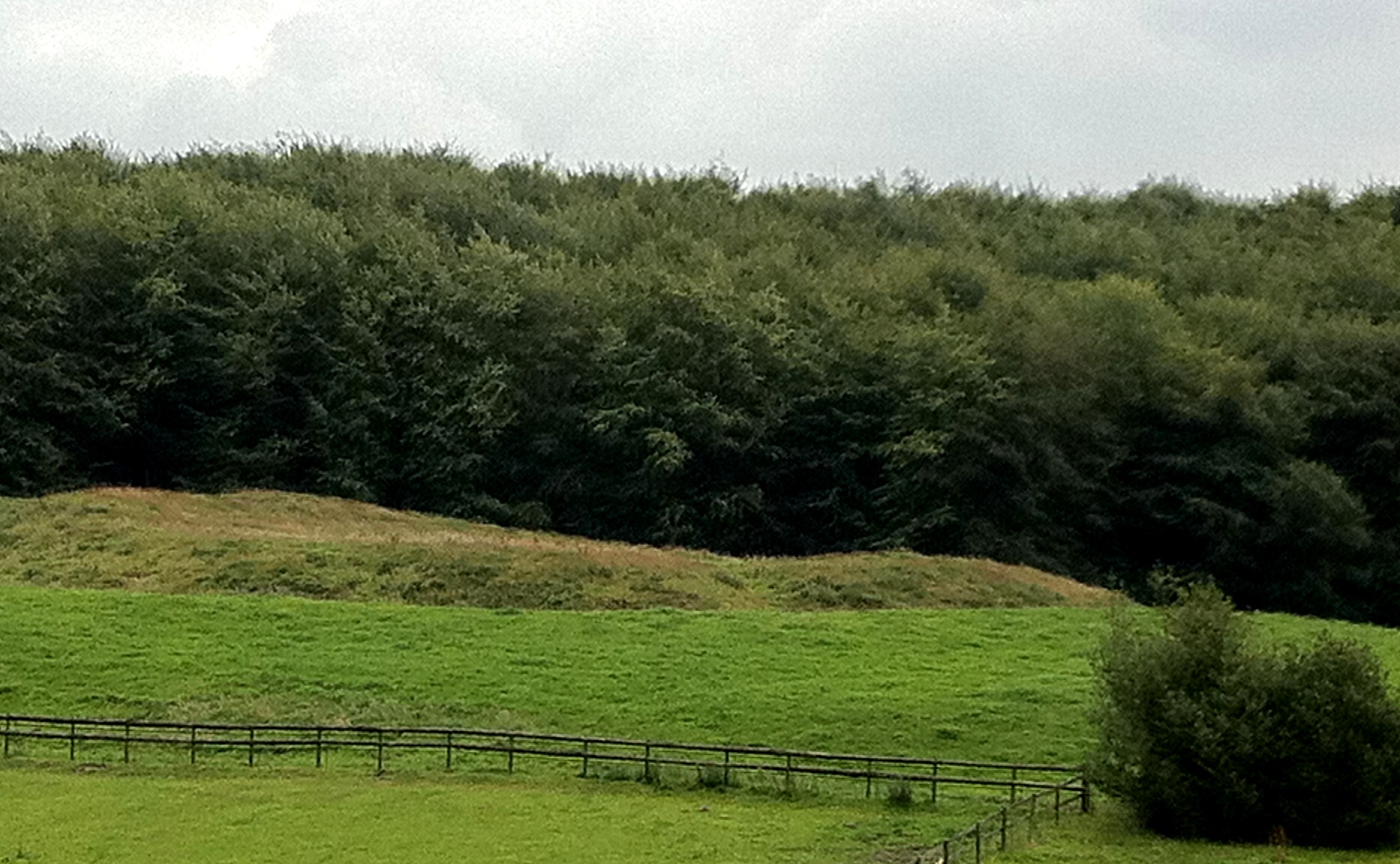
Lower Woods is a large woodland area located in Somerset, England. It stretches across an expansive area of approximately 200 hectares, making it one of the largest woodlands in the county. The woods are situated near the town of Radstock and are a popular destination for nature enthusiasts and outdoor adventurers.

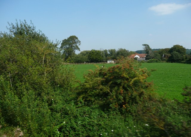
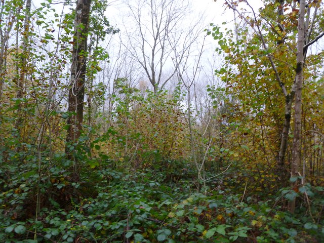
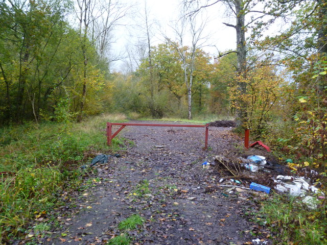
Lower Woods is known for its diverse range of tree species, including oak, ash, beech, and hazel. The woodland is also home to a variety of wildlife, such as deer, badgers, foxes, and numerous bird species. The dense canopy and undergrowth provide a natural habitat for these animals, making it an ideal site for wildlife spotting and birdwatching.

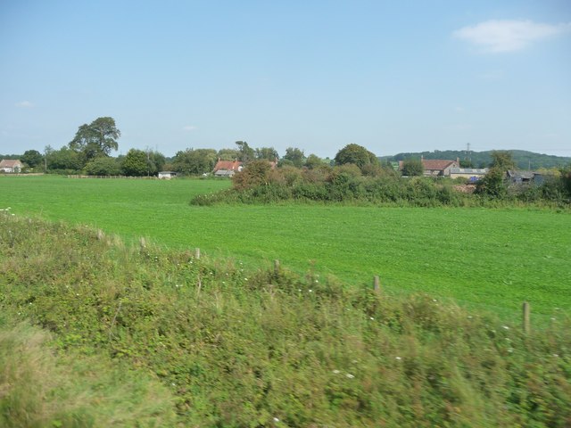
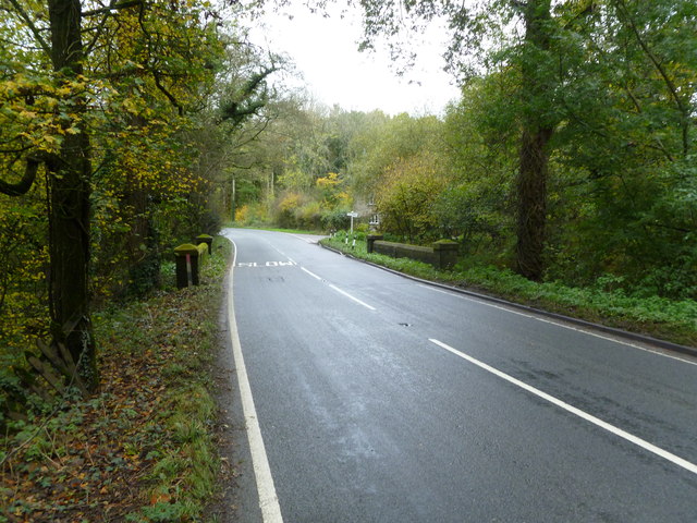
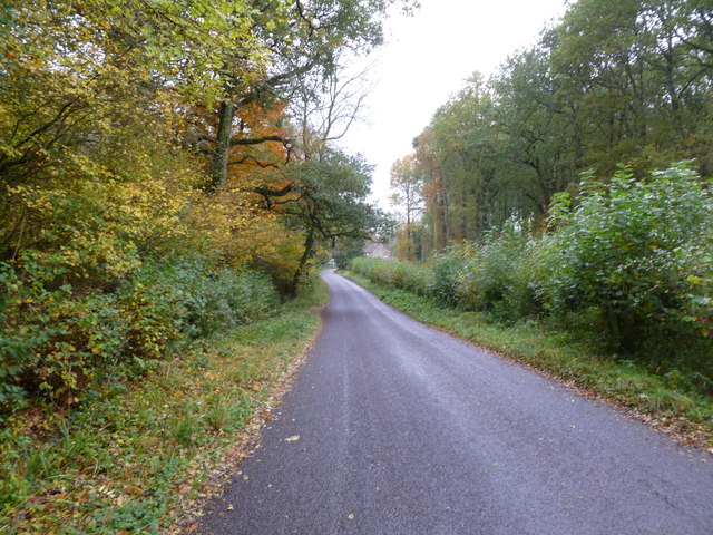
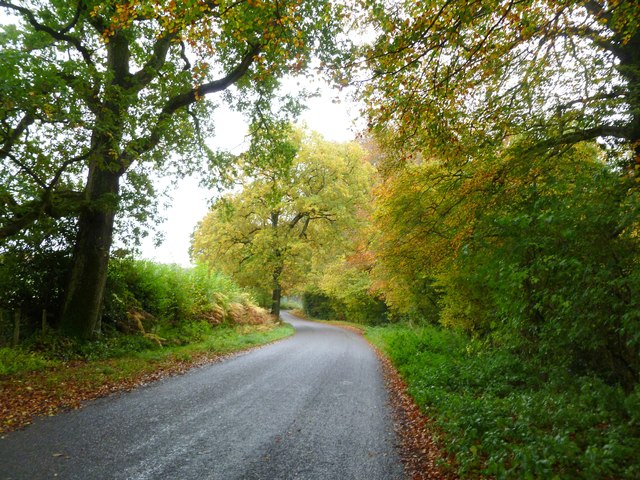
The woods are crisscrossed by a network of well-maintained footpaths and trails, allowing visitors to explore the area on foot. These paths lead through different sections of the woodland, each with its own distinct character. From open meadows to dense thickets, visitors can experience the diverse landscapes within Lower Woods.

In addition to its natural beauty, Lower Woods has historical significance. It is believed that the woods have been in existence for centuries, with evidence of ancient settlements and human activity scattered throughout the area. There are also remnants of old mining operations, a reminder of the area's industrial past.

Overall, Lower Woods offers a tranquil escape from the hustle and bustle of city life. Its natural splendor, diverse wildlife, and rich history make it an attractive destination for nature lovers and history enthusiasts alike.

If you have any feedback on the listing, please let us know in the comments section below.

Lower Woods Images

Images are sourced within 2km of 51.189571/-2.3009863 or Grid Reference ST7943. Thanks to Geograph Open Source API. All images are credited.

Road to the Longleat Safari park
Half Mile Pond on the Longleat estate
Mendip : Bushes & Greenery Lots of greenery and bushes beside the railway here in Mendip.
Mendip : Bushes & Greenery
Lots of greenery and bushes beside the railway here in Mendip.
Mendip : Grassy Field A grassy field and bushes in the Mendips.
Mendip : Grassy Field
A grassy field and bushes in the Mendips.
Gare Hill, woodland Bare young ash, with autumn-coloured hazel in the under-storey.
Gare Hill, woodland
Bare young ash, with autumn-coloured hazel in the under-storey.
Maiden Bradley, gate At the northern end of Honey Pot Lane. The lane forms the boundary between Wiltshire, left, and Somerset, right. Note the fly-tipping.
Maiden Bradley, gate
At the northern end of Honey Pot Lane. The lane forms the boundary between Wiltshire, left, and Somerset, right. Note the fly-tipping.
Maiden Bradley, County Bridge Across a stream on Frome Road (B3092); on the far side, Somerset, on this, Wiltshire. The boundary is marked mid-bridge by an iron post.
Maiden Bradley, County Bridge
Across a stream on Frome Road (B3092); on the far side, Somerset, on this, Wiltshire. The boundary is marked mid-bridge by an iron post.
Maiden Bradley, Forest Road From Horningsham to County Bridge (B3092); Little Bradley Wood to the left, Gully Copse, right.
Maiden Bradley, Forest Road
From Horningsham to County Bridge (B3092); Little Bradley Wood to the left, Gully Copse, right.
Horningsham, autumn colours Provided by beech trees on Forest Road.
Horningsham, autumn colours
Provided by beech trees on Forest Road.
Horningsham, permissive footpath Through Little Bradley Wood, on the Duke of Somerset's Estate.
Horningsham, permissive footpath
Through Little Bradley Wood, on the Duke of Somerset's Estate.
Fields by the B3092 The B road runs between hedges across the image, between Frome and Maiden Bradley. Silage bales are on the right. The pasture land rises towards New Church Farm at East Woodlands, in <a href="https://www.geograph.org.uk/gridref/ST7844">ST7844</a>, with Lower Woods clothing the hills west of Longleat. Taken from a train on the main railway line between Westbury and Bruton.
Fields by the B3092
The B road runs between hedges across the image, between Frome and Maiden Bradley. Silage bales are on the right. The pasture land rises towards New Church Farm at East Woodlands, in ST7844, with Lower Woods clothing the hills west of Longleat. Taken from a train on the main railway line between Westbury and Bruton.
County Boundary Marker MAIDEN BRADLEY FROME ROAD (B3092) ST 74 SE (east side) County Boundary post on road bridge at junction to Horningsham. Grade: II. Date first listed: 09-Sep-1987. County boundary post. C19. Cast iron plate with semi-circular top and WILTSHIRE / SOMERSET in raised lettering, vertically on front. 
- English Heritage <span class="nowrap"><a title="http://list.english-heritage.org.uk/resultsingle.aspx?uid=1318444" rel="nofollow ugc noopener" href="http://list.english-heritage.org.uk/resultsingle.aspx?uid=1318444">Link</a><img style="margin-left:2px;" alt="External link" title="External link - shift click to open in new window" src="https://s1.geograph.org.uk/img/external.png" width="10" height="10"/></span>

( For full article visit my Maiden Bradley Listed Buildings (etc) site - <span class="nowrap"><a title="https://sites.google.com/site/maidenbradleylistedbuildings/listed/frome-road" rel="nofollow ugc noopener" href="https://sites.google.com/site/maidenbradleylistedbuildings/listed/frome-road">Link</a><img style="margin-left:2px;" alt="External link" title="External link - shift click to open in new window" src="https://s1.geograph.org.uk/img/external.png" width="10" height="10"/></span> )
County Boundary Marker
MAIDEN BRADLEY FROME ROAD (B3092) ST 74 SE (east side) County Boundary post on road bridge at junction to Horningsham. Grade: II. Date first listed: 09-Sep-1987. County boundary post. C19. Cast iron plate with semi-circular top and WILTSHIRE / SOMERSET in raised lettering, vertically on front. - English Heritage LinkExternal link ( For full article visit my Maiden Bradley Listed Buildings (etc) site - LinkExternal link )
West Woodlands: postbox № BA11 12 A Victorian postbox is set into the wall of the cottage on the corner of Bull's Quarries Road with the main B3092. The door is painted a matching red.
West Woodlands: postbox № BA11 12
A Victorian postbox is set into the wall of the cottage on the corner of Bull's Quarries Road with the main B3092. The door is painted a matching red.
Gardens between Orangery and Longleat House
Longleat House and gardens The view of the house from the Orangery , now a tea and coffee shop.
Longleat House and gardens
The view of the house from the Orangery , now a tea and coffee shop.
Longleat Maze
Longleat Maze
Fountain at Longleat House
Lake outfall This artificial outfall keeps the main lake at Longleat at the required level.
Lake outfall
This artificial outfall keeps the main lake at Longleat at the required level.
Show me another place!

Lower Woods is located at Grid Ref: ST7943 (Lat: 51.189571, Lng: -2.3009863)

Administrative County: Somerset

District: Mendip

Police Authority: Avon and Somerset

What 3 Words

///crackles.encoded.active. Near Frome, Somerset

Related Wikis

Longleat Woods

Longleat Woods (grid reference ST795435) is a 249.9 hectare (617.4 acre) biological Site of Special Scientific Interest south of Frome in Somerset, notified...

Church of St Katherine, East Woodlands

The Anglican Church of St Katherine in East Woodlands, Selwood, Somerset, England was built around 1712. It is a Grade II* listed building. == History... ==

Roddenbury Hillfort

Roddenbury Hillfort is a univallate Iron Age hillfort in the parish of Selwood, Somerset, England. It is a Scheduled Monument and it was on the Heritage...

Hales Castle

Hales Castle was a medieval castle that once stood overlooking the town of Frome in the Mendip district of Somerset, England. It has been scheduled as...

Frome Clay

The Frome Clay is a geological formation in England. It preserves fossils dating back to the Bathonian stage of the Middle Jurassic period. == See also... ==
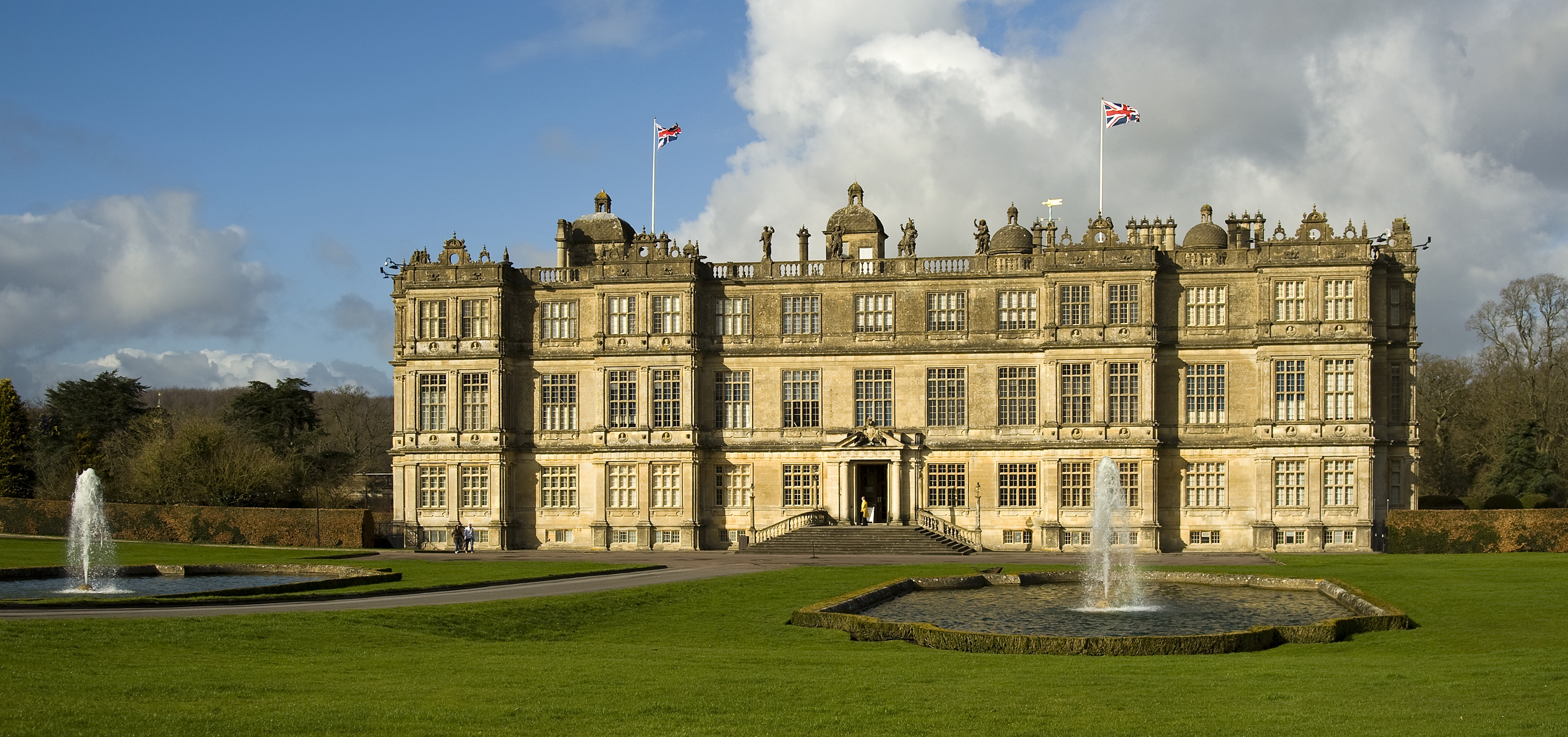
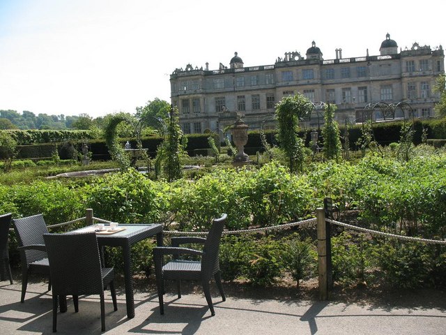
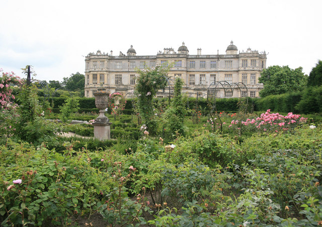
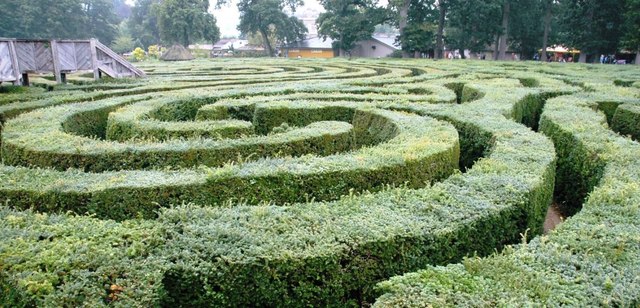
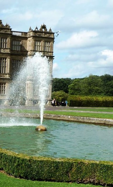
Longleat

Longleat is a stately home about 4 miles (7 km) west of Warminster in Wiltshire, England. A leading and early example of the Elizabethan prodigy house...

Longleat Priory

Longleat Priory was a priory near Warminster, Wiltshire, in the south of England. A short-lived priory was established and dissolved near to Longleat in...

Marston Moat

Marston Moat is the site of a fortified manor house in the parish of Trudoxhill, Somerset, England. It has been designated as a Scheduled Ancient Monument...

Have you been to Lower Woods?

Leave your review of Lower Woods below (or comments, questions and feedback).