Long Coppice
Wood, Forest in Worcestershire Wyre Forest
England
Long Coppice
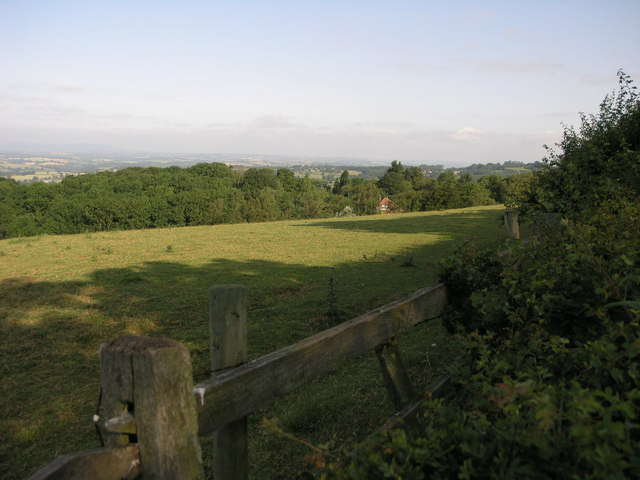
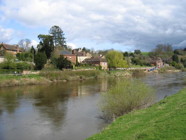
Long Coppice is a picturesque woodland located in the county of Worcestershire, England. Covering an area of approximately 150 acres, it is a stunning example of a traditional coppiced forest. The woodland is renowned for its diverse range of tree species, including oak, ash, birch, and hazel, which create a lush and vibrant canopy.
One of the defining features of Long Coppice is its history of coppicing, a traditional method of woodland management that involves cutting trees at ground level to encourage new growth. This practice has been carried out in the woodland for centuries, resulting in a dense network of regenerating trees and shrubs. As a result, Long Coppice boasts an abundance of wildlife, including various bird species, small mammals, and insects.
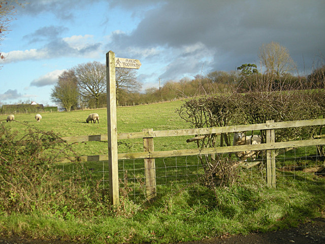
The woodland is intersected by a network of well-maintained footpaths, allowing visitors to explore the area and marvel at its natural beauty. These paths wind through the dense undergrowth, offering glimpses of wildflowers, ferns, and mosses that thrive in the damp and shaded environment.
Long Coppice also serves as an important recreational space for locals and visitors alike. It provides opportunities for outdoor activities such as walking, nature photography, and birdwatching. The tranquil atmosphere and peaceful surroundings make it an ideal destination for those seeking a respite from the hustle and bustle of city life.
Overall, Long Coppice in Worcestershire is a captivating woodland that showcases the beauty of nature and the importance of sustainable forest management. Its rich biodiversity and historical significance make it a cherished natural asset in the region.
If you have any feedback on the listing, please let us know in the comments section below.
Long Coppice Images
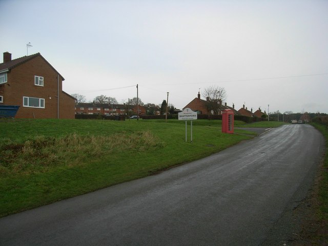
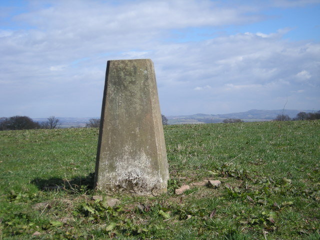
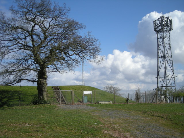
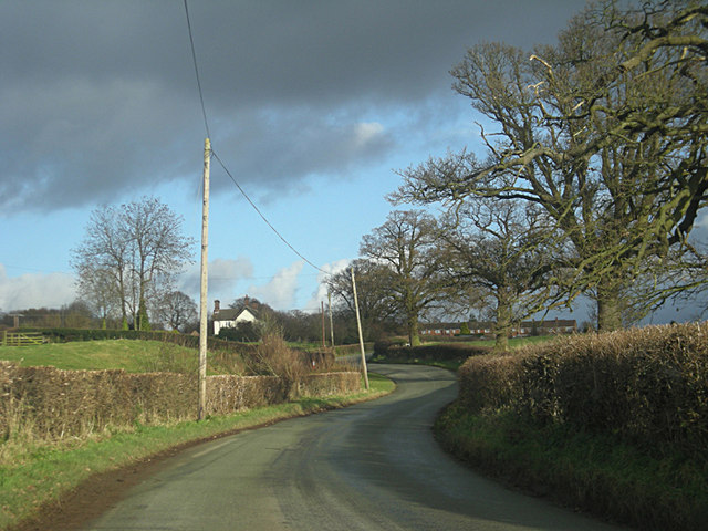
Images are sourced within 2km of 52.4182/-2.3093916 or Grid Reference SO7980. Thanks to Geograph Open Source API. All images are credited.


Long Coppice is located at Grid Ref: SO7980 (Lat: 52.4182, Lng: -2.3093916)
Administrative County: Worcestershire
District: Wyre Forest
Police Authority: West Mercia
What 3 Words
///speaking.strapping.central. Near Romsley, Shropshire
Nearby Locations
Related Wikis

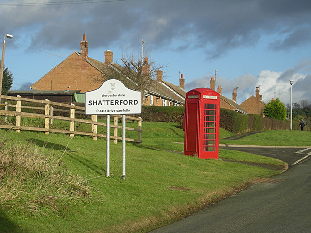
Shatterford
Shatterford is a village in the Wyre Forest District of Worcestershire, England, located north-west of Bewdley and lies less than a mile from the county...

Trimpley
Trimpley (grid reference SO793784) is a hamlet in the parish of Kidderminster Foreign. It lies on the ridge of Shatterford Hill, north of Wribbenhall...

Shatterford Hill
Shatterford Hill is an English geographical feature that extends from Bewdley in north Worcestershire to Birdsgreen near Alveley, just over the border...

Drakelow, Worcestershire
Drakelow is a hamlet in Worcestershire, England. It is one of the ancient townships of the manor of Wolverley, whose extent was similar to that of the...

Victoria Bridge, Worcestershire
The Victoria Bridge crosses the River Severn between Arley and Bewdley in Worcestershire, England. At the time of its construction, the 200-foot railway...
Upper Arley
Upper Arley (grid reference SO765805) is a village and civil parish near Kidderminster in the Wyre Forest District of Worcestershire, England. Historically...

Arley House and Gardens
Arley House and Gardens are situated at Upper Arley, about 4 miles (6.4 km) north-west of Bewdley, in Worcestershire, England. The gardens, arboretum and...

Arley railway station
Arley railway station is a station on the Severn Valley Railway heritage line in Worcestershire, situated just over the River Severn from the village of...
Nearby Amenities
Located within 500m of 52.4182,-2.3093916Have you been to Long Coppice?
Leave your review of Long Coppice below (or comments, questions and feedback).