Stable Barrow

Heritage Site in Dorset

England

Stable Barrow

Old Direction Sign - Signpost by Gallows Corner, near Milton Abbas Annulus and bar finial - 3 arms; Dorset halo with NGR by the UC road, in parish of Milton Abbas (North Dorset District), Milton Abbas, crossroads South of village just South of Long Ash Farm.

Surveyed

Milestone Society National ID: DO_ST7900
Old Direction Sign - Signpost by Gallows Corner, near Milton Abbas Credit: Milestone Society

Stable Barrow, located in the county of Dorset, England, is a significant heritage site that holds great historical and archaeological importance. The barrow, also known as a tumulus or burial mound, can be found in the vicinity of the village of Winterborne Kingston.

Believed to date back to the Bronze Age, Stable Barrow stands as a testament to the ancient civilizations that once inhabited the area. The mound measures approximately 30 meters in diameter and 2 meters in height, making it a noticeable feature in the surrounding landscape.

As an archaeological site, Stable Barrow has been subject to various investigations and excavations over the years. These studies have revealed fascinating insights into the burial practices and rituals of the Bronze Age people. Archaeologists have uncovered a number of artifacts, including pottery fragments and flint tools, which provide valuable clues about the lives and beliefs of the ancient inhabitants.

Today, Stable Barrow serves as a cherished heritage site, attracting visitors from near and far who are keen to explore the region's rich history. The site is maintained and protected by local authorities to ensure its preservation for future generations.

Visitors to Stable Barrow can enjoy the tranquility of the surrounding countryside, while also gaining a deeper understanding of the region's past. The site offers a unique opportunity to connect with the ancient past and appreciate the craftsmanship and cultural practices of our ancestors.

If you have any feedback on the listing, please let us know in the comments section below.

Stable Barrow Images

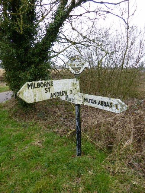
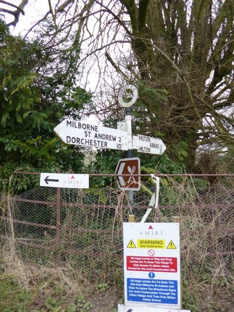
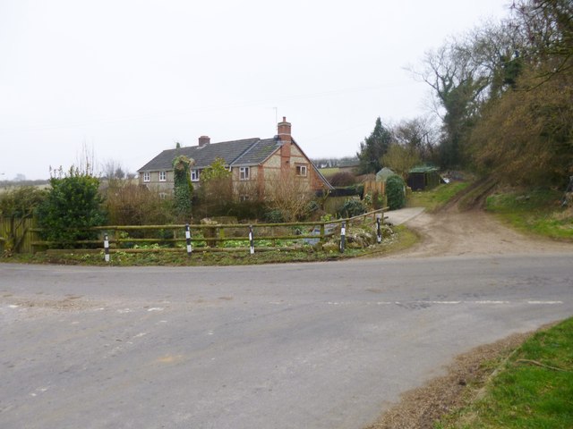
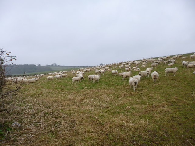
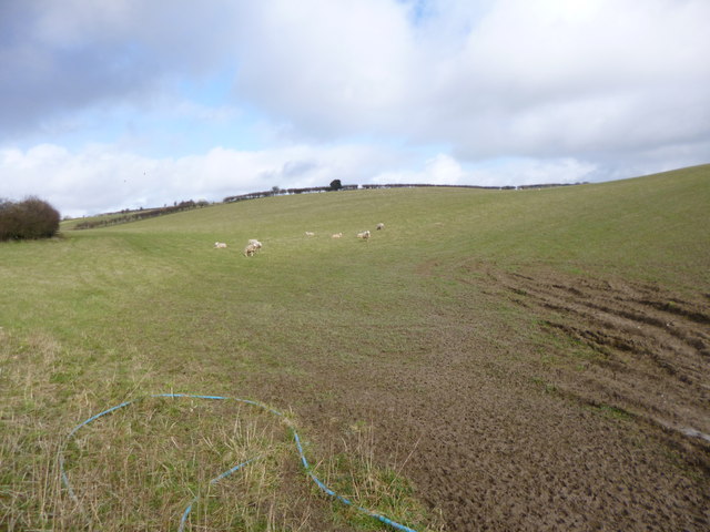
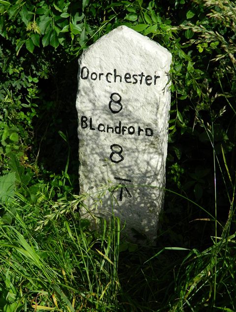
Images are sourced within 2km of 50.793/-2.292 or Grid Reference SY7999. Thanks to Geograph Open Source API. All images are credited.

Old Direction Sign - Signpost by Gallows Corner, near Milton Abbas Annulus and bar finial - 3 arms; Dorset halo with NGR by the UC road, in parish of Milton Abbas (North Dorset District), Milton Abbas, crossroads South of village just South of Long Ash Farm.

Surveyed

Milestone Society National ID: DO_ST7900
Old Direction Sign - Signpost by Gallows Corner, near Milton Abbas
Annulus and bar finial - 3 arms; Dorset halo with NGR by the UC road, in parish of Milton Abbas (North Dorset District), Milton Abbas, crossroads South of village just South of Long Ash Farm. Surveyed Milestone Society National ID: DO_ST7900
Old Direction Sign - Signpost by Hewish Farm, Milton Abbas parish Annulus finial - 2 arms; Dorset halo without NGR by the UC road, in parish of Milton Abbas (North Dorset District), Hewish Farm, junction with UC road to Milton Abbas, on embankment.

Surveyed

Milestone Society National ID: DO_ST8000
Old Direction Sign - Signpost by Hewish Farm, Milton Abbas parish
Annulus finial - 2 arms; Dorset halo without NGR by the UC road, in parish of Milton Abbas (North Dorset District), Hewish Farm, junction with UC road to Milton Abbas, on embankment. Surveyed Milestone Society National ID: DO_ST8000
Sunrise over Milborne St Andrew Dolphin Class, Milborne First School, first submission to Geograph. Taken at 8am.
Sunrise over Milborne St Andrew
Dolphin Class, Milborne First School, first submission to Geograph. Taken at 8am.
Fog at Milborne First school Taken by Turtles Class at 2pm
Fog at Milborne First school
Taken by Turtles Class at 2pm
Milborne School in the fog Taken by Turtles class at 2pm
Milborne School in the fog
Taken by Turtles class at 2pm
Dorchester Hill, Milborne St Andrew The A354 towards Dorchester.
Dorchester Hill, Milborne St Andrew
The A354 towards Dorchester.
Milton Abbas, Spring Cottage
Milton Abbas, sheep grazing
Milton Abbas, sheep grazing On downland near Long Close Farm.
Milton Abbas, sheep grazing
On downland near Long Close Farm.
Milborne school field at 2pm Taken by Turtles class (year 2)
Milborne school field at 2pm
Taken by Turtles class (year 2)
Fog at Milborne First School Taken by Lewis B from Turtles class at 2pm
Fog at Milborne First School
Taken by Lewis B from Turtles class at 2pm
Old Milestone by the A354, west of Milborne St Andrew Carved stone post by the A354, in parish of MILBORNE ST ANDREW (NORTH DORSET District), West of Milborne St Andrew, 200m East of Greenacres, on narrow rough verge against hedge, on South side of road. Dorset 1 (limestone), erected by the Harnham, Blandford & Dorchester turnpike trust in the 19th century. 

Inscription reads:-
Dorchester
8
Blandford
8 
Carved benchmark bottom centre of front face.

Grade II Listed. List Entry Number:1118616
<span class="nowrap"><a title="https://historicengland.org.uk/listing/the-list/list-entry/1118616" rel="nofollow ugc noopener" href="https://historicengland.org.uk/listing/the-list/list-entry/1118616">Link</a><img style="margin-left:2px;" alt="External link" title="External link - shift click to open in new window" src="https://s1.geograph.org.uk/img/external.png" width="10" height="10"/></span>

Milestone Society National ID: DO_DOBF08
Old Milestone by the A354, west of Milborne St Andrew
Carved stone post by the A354, in parish of MILBORNE ST ANDREW (NORTH DORSET District), West of Milborne St Andrew, 200m East of Greenacres, on narrow rough verge against hedge, on South side of road. Dorset 1 (limestone), erected by the Harnham, Blandford & Dorchester turnpike trust in the 19th century. Inscription reads:- Dorchester 8 Blandford 8 Carved benchmark bottom centre of front face. Grade II Listed. List Entry Number:1118616 LinkExternal link Milestone Society National ID: DO_DOBF08
Hewish, geese Free-range, and very vocal, next to Hewish Farm: <span class="nowrap"><a title="http://www.bbc.co.uk/dorset/content/articles/2008/11/27/geese_feature.shtml" rel="nofollow ugc noopener" href="http://www.bbc.co.uk/dorset/content/articles/2008/11/27/geese_feature.shtml">Link</a><img style="margin-left:2px;" alt="External link" title="External link - shift click to open in new window" src="https://s1.geograph.org.uk/img/external.png" width="10" height="10"/></span>
Hewish, geese
Free-range, and very vocal, next to Hewish Farm: LinkExternal link
Bridleway Across A Field Of Linseed
Milton Abbas, Hewish Farmhouse The geese <a href="https://www.geograph.org.uk/photo/2591585">ST8000 : Hewish, geese</a> were nowhere to be seen or heard today.
Milton Abbas, Hewish Farmhouse
The geese ST8000 : Hewish, geese were nowhere to be seen or heard today.
Milton Mills
Milton Mills
Road through valley near Milton Mills
Thatched post office, Milborne St Andrew The road is the A3554 coming from Winterborne Whitechurch on the right and going on to Puddletown.
Thatched post office, Milborne St Andrew
The road is the A3554 coming from Winterborne Whitechurch on the right and going on to Puddletown.
Show me another place!

Stable Barrow is located at Grid Ref: SY7999 (Lat: 50.793, Lng: -2.292)

Unitary Authority: Dorset

Police Authority: Dorset

What 3 Words

///dumplings.petition.guard. Near Milborne St Andrew, Dorset

Related Wikis

Dorset (district)

Dorset is a unitary authority area, existing since 1 April 2019, in the ceremonial county of Dorset, England. It covers all of the ceremonial county except...

Dorset

Dorset ( DOR-sit; archaically: Dorsetshire DOR-sit-sheer, -⁠shər) is a ceremonial county in South West England. It is bordered by Somerset to the north...

Milborne St Andrew

Milborne St Andrew is a village and civil parish in the county of Dorset in southern England. It is situated on the A354 road, 9 miles (14 kilometres)...

Whiteway Hundred

Whiteway Hundred was a hundred in the English county of Dorset, containing the following parishes: Cheselbourne Hilton Ibberton Melcombe Horsey Milton...

Nearby Amenities

Located within 500m of 50.793,-2.292
The data included in this document is from www.openstreetmap.org. The data is made available under ODbL.

Have you been to Stable Barrow?

Leave your review of Stable Barrow below (or comments, questions and feedback).