New Ing Wood
Wood, Forest in Yorkshire Ribble Valley
England
New Ing Wood
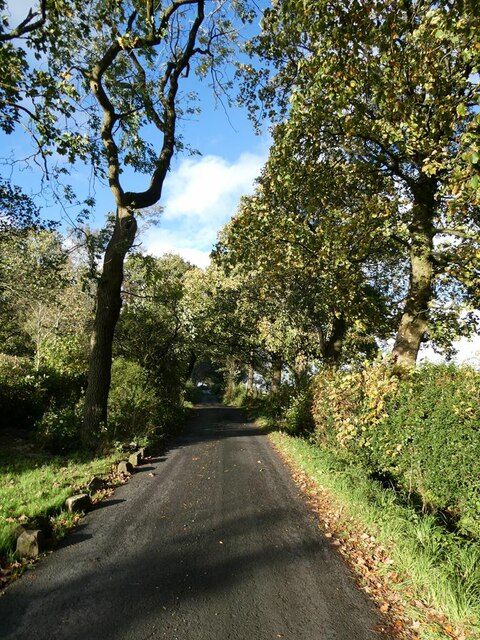
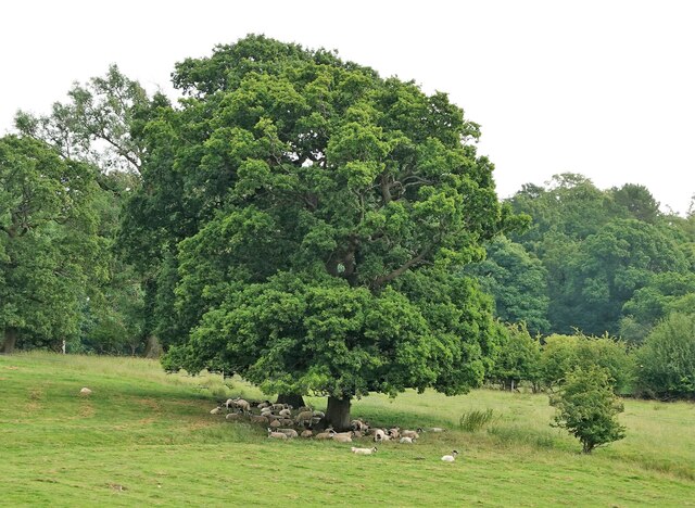
New Ing Wood is a picturesque forest located in Yorkshire, England. Stretching across a vast area, this woodland is a haven for nature enthusiasts and those seeking tranquility amidst the beauty of nature. The forest is known for its dense vegetation, towering trees, and diverse wildlife, making it an ideal destination for outdoor activities and exploration.
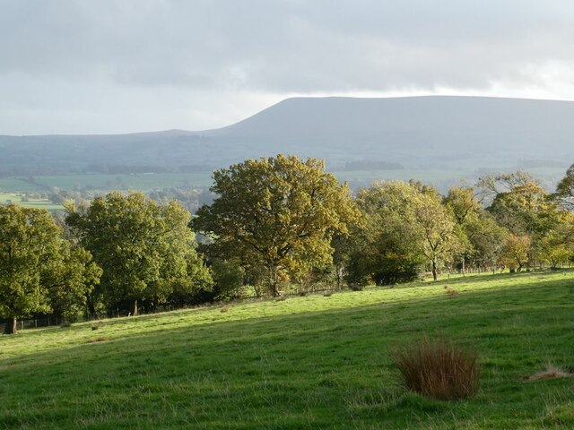
Covering an area of approximately 500 acres, New Ing Wood offers a network of well-maintained footpaths and trails, allowing visitors to immerse themselves in the natural surroundings. The forest is predominantly composed of deciduous trees, including oak, beech, and birch, which provide a stunning display of colors during the autumn months.
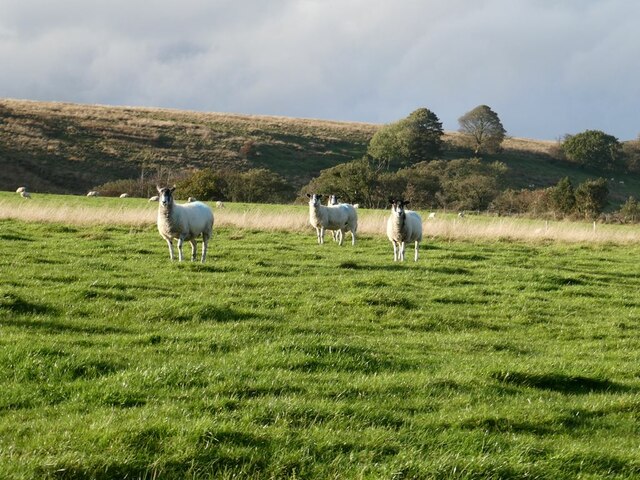
Wildlife is abundant in New Ing Wood, with a wide range of species calling the forest home. Visitors may catch glimpses of deer, foxes, squirrels, and a variety of bird species, making it a popular spot for birdwatching. The forest also boasts a diverse range of plant life, including wildflowers, ferns, and mosses, contributing to the overall biodiversity of the area.
For those looking to engage in recreational activities, New Ing Wood offers ample opportunities. The forest provides designated picnic areas, where visitors can enjoy a leisurely meal surrounded by the peaceful ambiance of nature. Additionally, the network of trails allows for walking, hiking, and cycling, catering to a range of fitness levels.
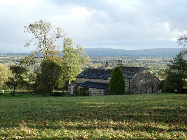
New Ing Wood is a true gem in the heart of Yorkshire, offering a serene and captivating environment for individuals seeking solace in the beauty of nature. Whether exploring the trails, observing wildlife, or simply taking in the breathtaking scenery, a visit to New Ing Wood is sure to leave visitors with lasting memories of this remarkable forest.
If you have any feedback on the listing, please let us know in the comments section below.
New Ing Wood Images
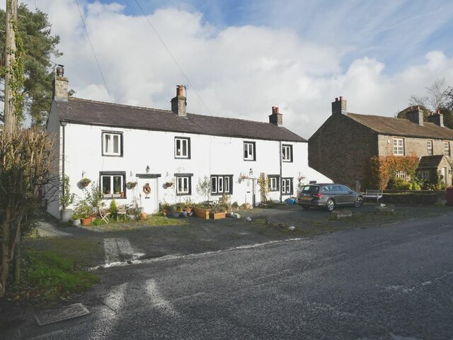
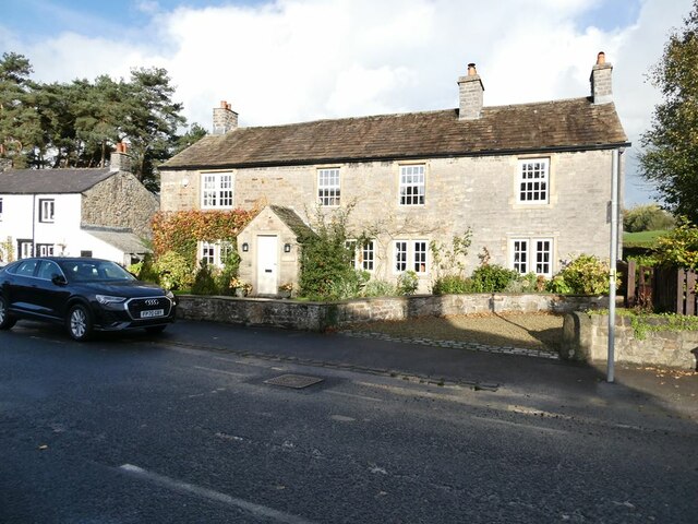
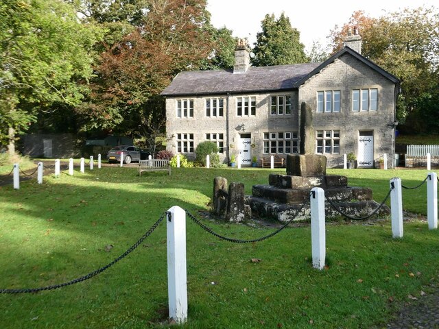
Images are sourced within 2km of 53.951347/-2.3275385 or Grid Reference SD7850. Thanks to Geograph Open Source API. All images are credited.


New Ing Wood is located at Grid Ref: SD7850 (Lat: 53.951347, Lng: -2.3275385)
Division: West Riding
Administrative County: Lancashire
District: Ribble Valley
Police Authority: Lancashire
What 3 Words
///dull.inflict.pelt. Near Chatburn, Lancashire
Related Wikis

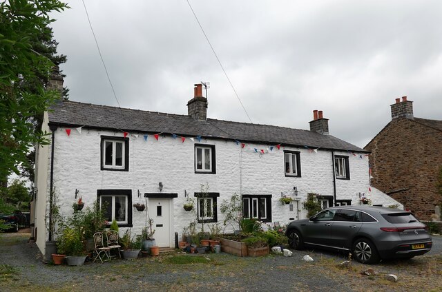
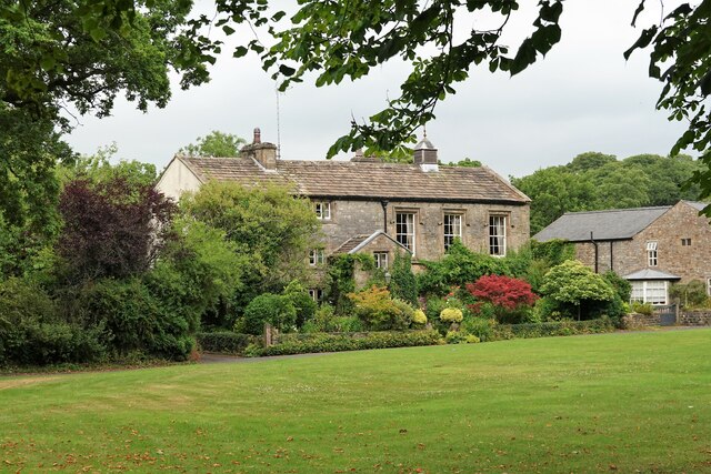
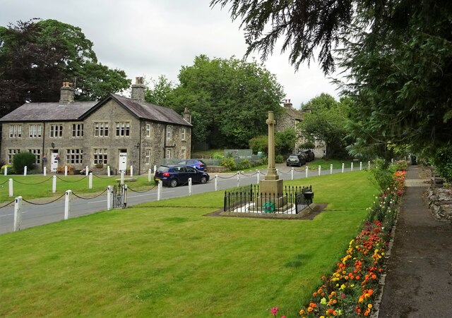
Bolton-by-Bowland
Bolton-by-Bowland is a village and civil parish in the Ribble Valley district of Lancashire, England. Before 1974, the village was part of Bowland Rural...

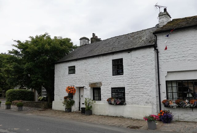
St Peter and St Paul's Church, Bolton-by-Bowland
St Peter and St Paul's Church is in Gisburn Road, Bolton-by-Bowland, Lancashire, England. It is an active Anglican parish church in the deanery of Whalley...

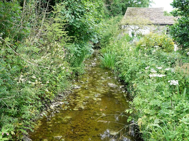
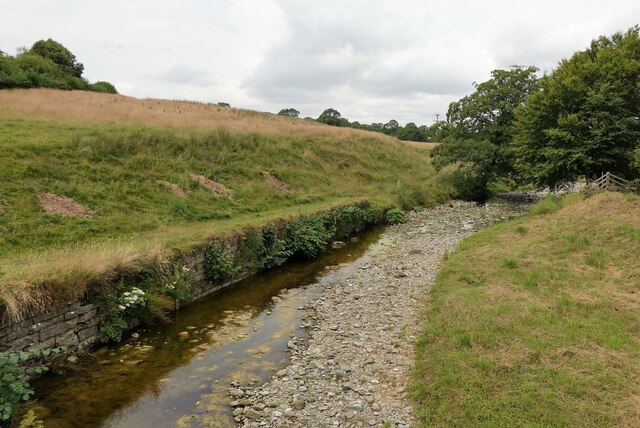
Skirden Beck
Skirden Beck is a minor river in Lancashire, England (historically in the West Riding of Yorkshire). It is approximately 4.3 miles (6.85 km) long and has...

Manor House, Gisburn Forest
Manor House is an historic building in Gisburn Forest, Lancashire, England. It was built in the early 18th century, but contains a section that is believed...

Stock Beck
Stock Beck is a minor river in the West Craven area of Pendle, Lancashire (formerly in Yorkshire). It is 8.25 miles (13.27 km) long and has a catchment...

Gisburne Park
Gisburne Park is an 18th-century country house and associated park in Gisburn, Lancashire, England, in the Ribble Valley some 6 miles (10 km) north-east...

Sawley, Lancashire
Sawley is a village and civil parish in the Borough of Ribble Valley in Lancashire, England. The population of the civil parish was 305 at the 2001 Census...
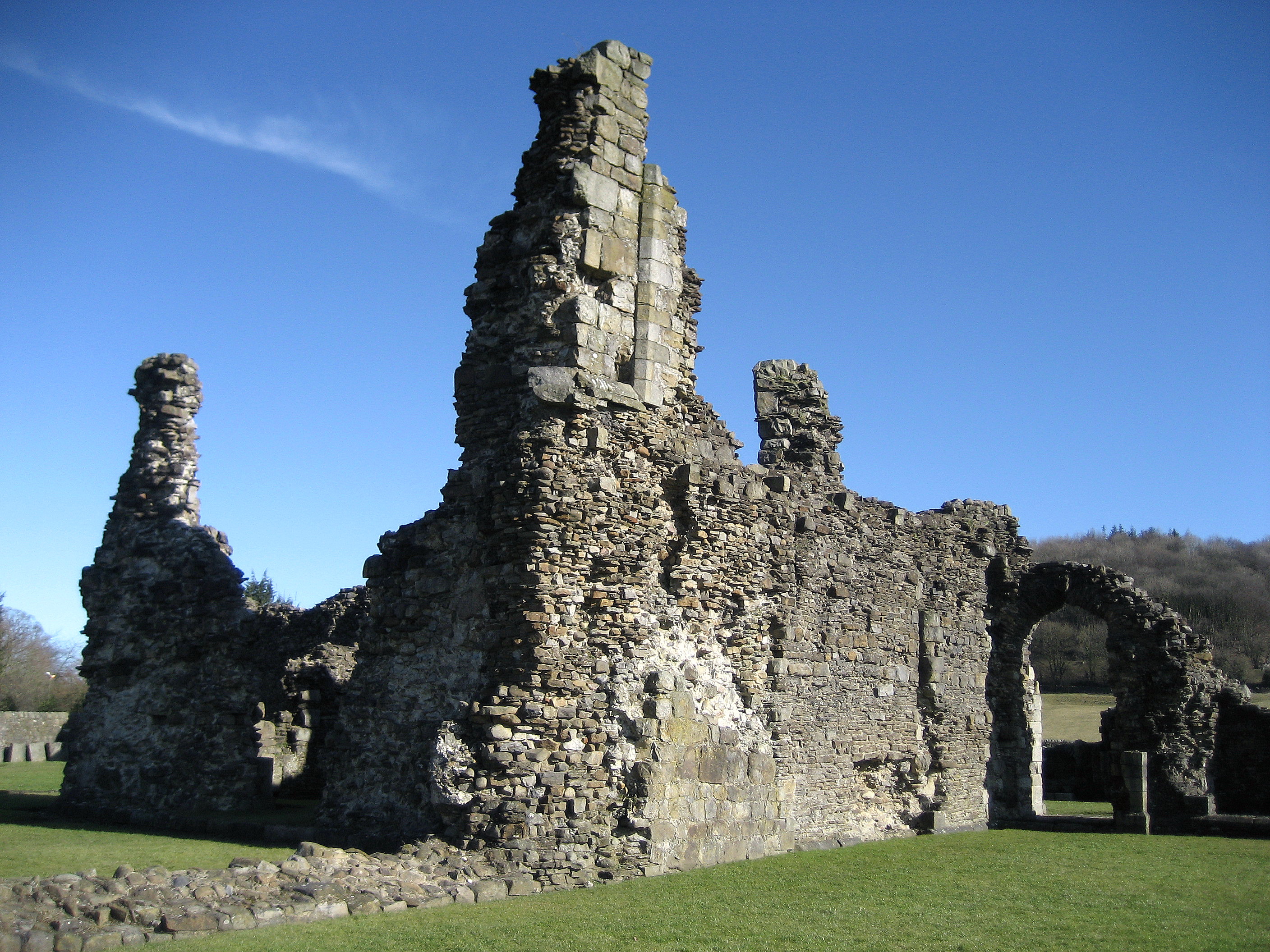
Sawley Abbey
Sawley Abbey was an abbey of Cistercian monks in the village of Sawley, Lancashire, in England (and historically in the West Riding of Yorkshire). Created...
Nearby Amenities
Located within 500m of 53.951347,-2.3275385Have you been to New Ing Wood?
Leave your review of New Ing Wood below (or comments, questions and feedback).