Bolton-by-Bowland
Civil Parish in Yorkshire Ribble Valley
England
Bolton-by-Bowland
Bolton-by-Bowland is a civil parish located in the Craven district of North Yorkshire, England. Situated in the beautiful Ribble Valley, it lies approximately 9 miles west of Clitheroe and 14 miles east of Skipton. The village is nestled in the heart of the Forest of Bowland, an Area of Outstanding Natural Beauty.
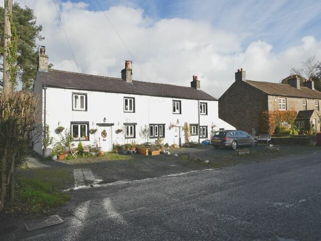
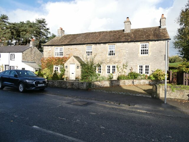
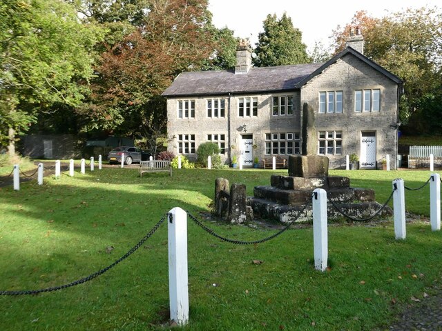
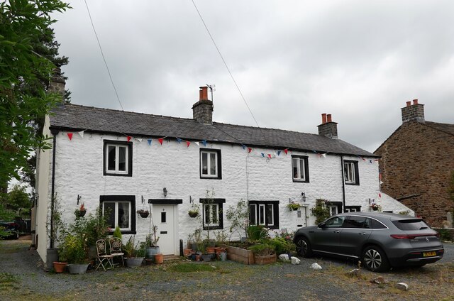
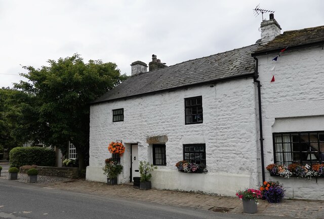
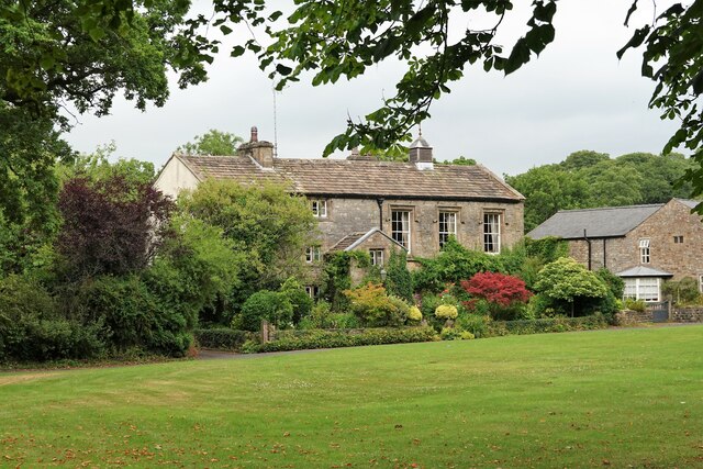
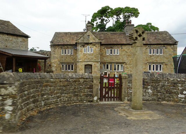
Bolton-by-Bowland is a picturesque village with a rich history dating back to the Domesday Book. It is renowned for its traditional stone-built houses and charming cottages, which give the village a quintessentially English character. The parish church of All Saints, a Grade I listed building, is a prominent feature of the village and a testament to its historical significance.
The village offers a range of amenities for both residents and visitors. These include a primary school, a village hall, a post office, and a well-stocked village store. The nearby Coach & Horses Inn provides a welcoming atmosphere and serves delicious food and drink, making it a popular spot for locals and tourists alike.
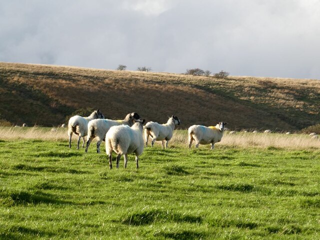
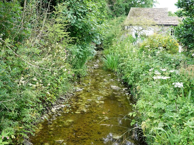
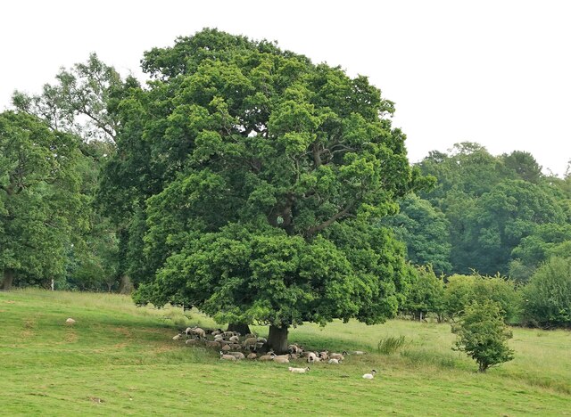
Surrounded by stunning countryside, Bolton-by-Bowland is a haven for outdoor enthusiasts. The village is a gateway to the Forest of Bowland, offering numerous walking and cycling routes that showcase the area's natural beauty. The River Ribble flows through the village, offering opportunities for fishing and picnicking by its tranquil banks.
Overall, Bolton-by-Bowland is a charming and idyllic village that offers a peaceful retreat in the heart of the Yorkshire countryside. Its historical charm, natural beauty, and range of amenities make it a desirable place to live or visit for those seeking a slower pace of life.
If you have any feedback on the listing, please let us know in the comments section below.
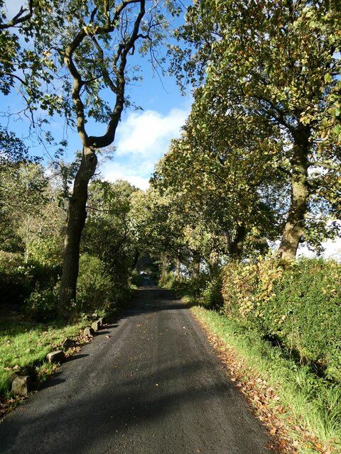
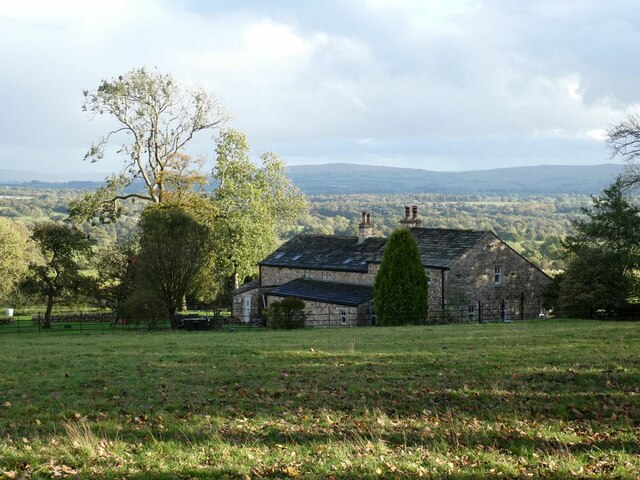
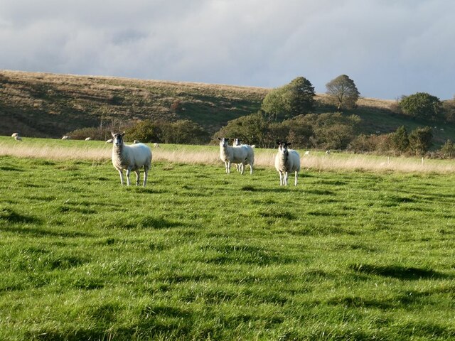
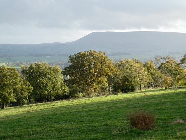
Bolton-by-Bowland Images
Images are sourced within 2km of 53.949791/-2.332183 or Grid Reference SD7850. Thanks to Geograph Open Source API. All images are credited.


Bolton-by-Bowland is located at Grid Ref: SD7850 (Lat: 53.949791, Lng: -2.332183)
Division: West Riding
Administrative County: Lancashire
District: Ribble Valley
Police Authority: Lancashire
What 3 Words
///replying.vesting.contexts. Near Chatburn, Lancashire
Related Wikis

Bolton-by-Bowland
Bolton-by-Bowland is a village and civil parish in the Ribble Valley district of Lancashire, England. Before 1974, the village was part of Bowland Rural...

St Peter and St Paul's Church, Bolton-by-Bowland
St Peter and St Paul's Church is in Gisburn Road, Bolton-by-Bowland, Lancashire, England. It is an active Anglican parish church in the deanery of Whalley...

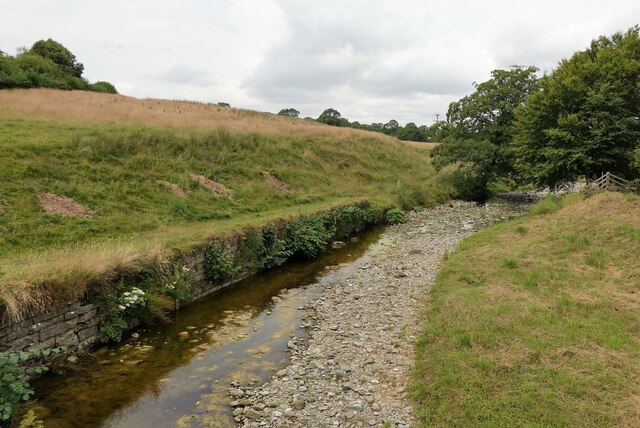
Skirden Beck
Skirden Beck is a minor river in Lancashire, England (historically in the West Riding of Yorkshire). It is approximately 4.3 miles (6.85 km) long and has...

Manor House, Gisburn Forest
Manor House is an historic building in Gisburn Forest, Lancashire, England. It was built in the early 18th century, but contains a section that is believed...

Sawley, Lancashire
Sawley is a village and civil parish in the Borough of Ribble Valley in Lancashire, England. The population of the civil parish was 305 at the 2001 Census...
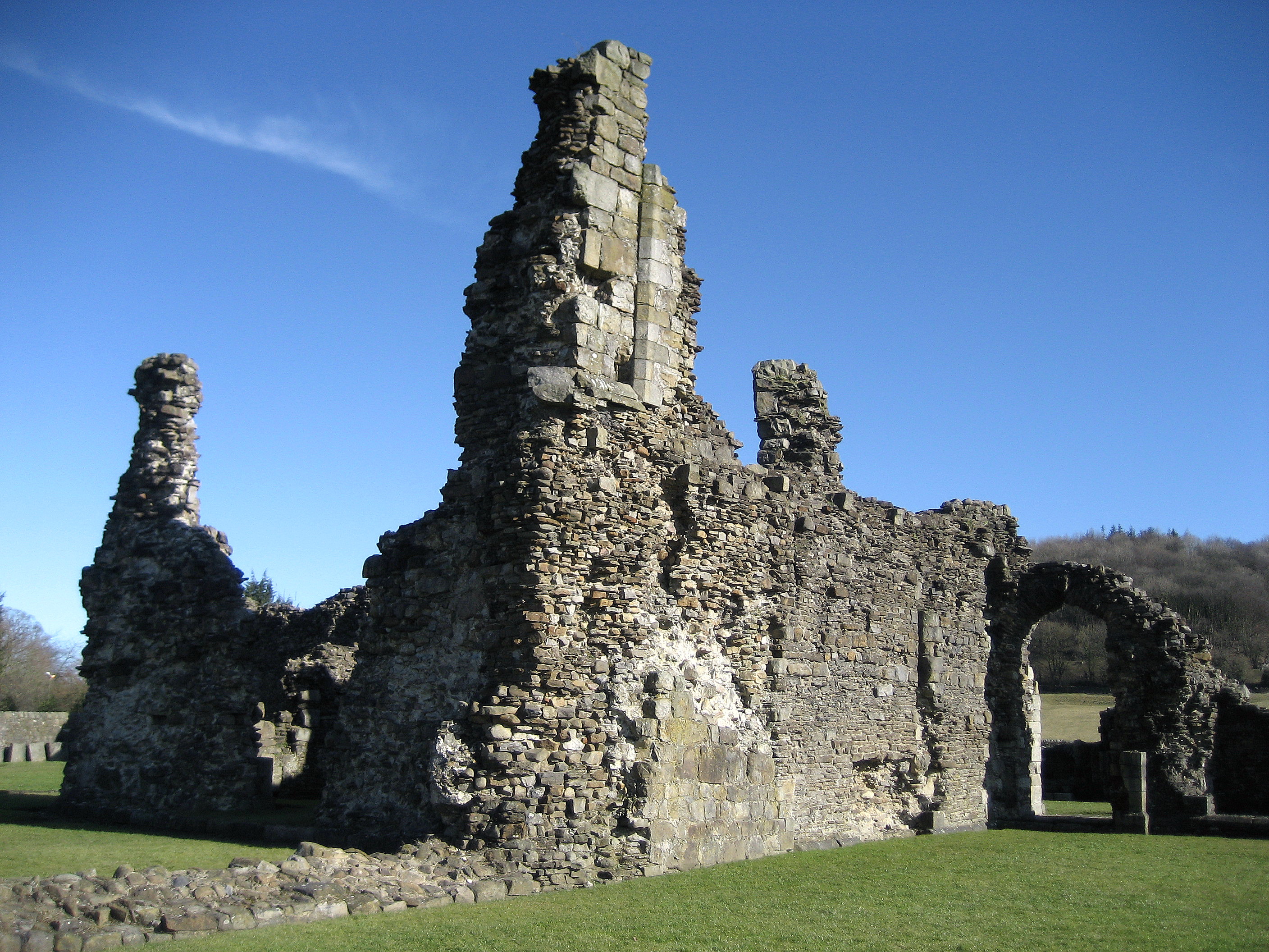
Sawley Abbey
Sawley Abbey was an abbey of Cistercian monks in the village of Sawley, Lancashire, in England (and historically in the West Riding of Yorkshire). Created...

Stock Beck
Stock Beck is a minor river in the West Craven area of Pendle, Lancashire (formerly in Yorkshire). It is 8.25 miles (13.27 km) long and has a catchment...

Gisburne Park
Gisburne Park is an 18th-century country house and associated park in Gisburn, Lancashire, England, in the Ribble Valley some 6 miles (10 km) north-east...
Nearby Amenities
Located within 500m of 53.949791,-2.332183Have you been to Bolton-by-Bowland?
Leave your review of Bolton-by-Bowland below (or comments, questions and feedback).