Balshaw Plantation

Wood, Forest in Yorkshire Ribble Valley

England

Balshaw Plantation

Knotts Lane near Varley's Farm A very minor road running up the west side of the valley of Holden Beck.
Knotts Lane near Varley's Farm Credit: Oliver Dixon

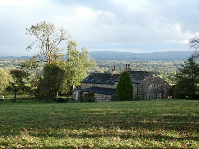
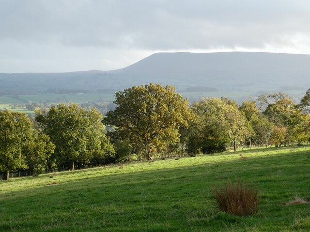
Balshaw Plantation is a picturesque woodland located in the heart of Yorkshire, England. Spanning over several acres, this enchanting forest is a haven for nature enthusiasts and outdoor adventurers alike. The plantation is situated near the village of Balshaw, surrounded by rolling hills and scenic countryside.

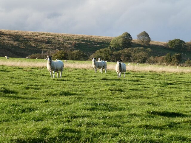
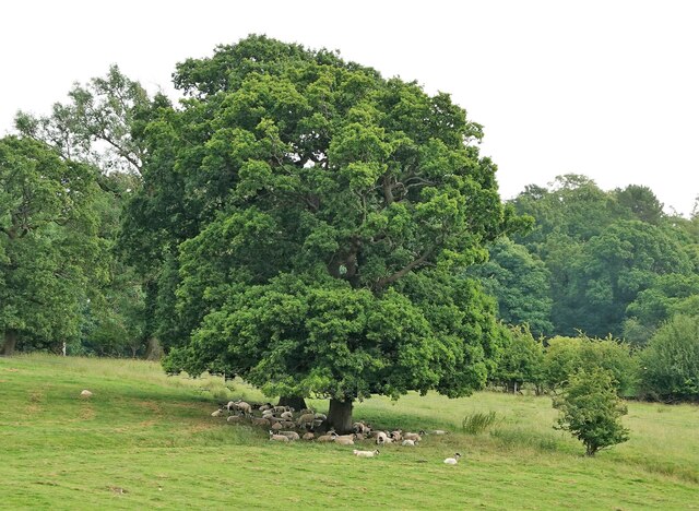
The woodland is primarily composed of a variety of deciduous trees, including oak, ash, beech, and birch. These majestic trees create a lush and vibrant canopy, offering shelter and sustenance for a diverse range of wildlife. Visitors can expect to encounter an array of bird species, such as woodpeckers, owls, and various songbirds. Mammals like deer, foxes, and rabbits are also frequently spotted within the plantation.

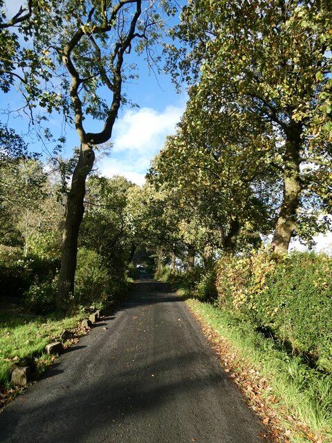
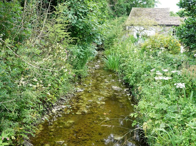
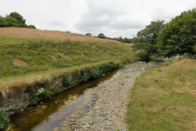
Balshaw Plantation offers a network of well-maintained footpaths, allowing visitors to explore the woodland at their leisure. The paths meander through the forest, leading visitors to hidden clearings, babbling brooks, and peaceful ponds. The plantation also boasts a small picnic area, where visitors can pause and enjoy a packed lunch surrounded by the tranquil sounds of nature.

Throughout the year, Balshaw Plantation undergoes a stunning transformation with the changing seasons. In spring, the woodland bursts into life with vibrant blossoms and a symphony of birdsong. Summer brings a lush green canopy, providing welcome shade on warm days. Autumn paints the woodland in a kaleidoscope of fiery hues, while winter blankets the plantation in a serene layer of snow.

Balshaw Plantation is a true natural gem, offering a peaceful retreat from the hustle and bustle of everyday life. Whether it's a leisurely stroll, birdwatching, or simply immersing oneself in the beauty of nature, this Yorkshire woodland is a destination not to be missed.

If you have any feedback on the listing, please let us know in the comments section below.

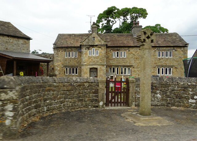
Balshaw Plantation Images

Images are sourced within 2km of 53.949443/-2.3304186 or Grid Reference SD7850. Thanks to Geograph Open Source API. All images are credited.

Knotts Lane near Varley's Farm A very minor road running up the west side of the valley of Holden Beck.
Knotts Lane near Varley's Farm
A very minor road running up the west side of the valley of Holden Beck.
Broad Ing Farm Commanding an extensive view over the valley of the Holden Beck.
Broad Ing Farm
Commanding an extensive view over the valley of the Holden Beck.
Sheep in field beside Knotts Lane Near Witton's Farm
Sheep in field beside Knotts Lane
Near Witton's Farm
View south from Knotts Lane Pendle Hill <a href="https://www.geograph.org.uk/gridref/SD7754">SD7754</a> dominates the skyline.
View south from Knotts Lane
Pendle Hill SD7754 dominates the skyline.
Bolton by Bowland, bridge This is the southern parapet of the bridge over the River Ribble flowing through the village. To the left of the apex of the parapet there is an upside-down bench mark on the 2nd course of stone from the top. This shows the bridge has been rebuilt and the stones not placed exactly in their original position.
Bolton by Bowland, bridge
This is the southern parapet of the bridge over the River Ribble flowing through the village. To the left of the apex of the parapet there is an upside-down bench mark on the 2nd course of stone from the top. This shows the bridge has been rebuilt and the stones not placed exactly in their original position.
Bolton by Bowland, bridge A wider angle showing the southern parapet of the bridge over the River Ribble flowing through the village. To the left of the apex of the parapet there is an upside-down bench mark on the 2nd course of stone from the top. This shows the bridge has been rebuilt and the stones not placed exactly in their original position.
Bolton by Bowland, bridge
A wider angle showing the southern parapet of the bridge over the River Ribble flowing through the village. To the left of the apex of the parapet there is an upside-down bench mark on the 2nd course of stone from the top. This shows the bridge has been rebuilt and the stones not placed exactly in their original position.
Terraced cottages in Bolton-by-Bowland
Cottage in Bolton-by-Bowland
Hallowe'en in Bolton-by-Bowland The Hallowe'en decorations seem to become more extreme year on year.
Hallowe'en in Bolton-by-Bowland
The Hallowe'en decorations seem to become more extreme year on year.
Village Green, Bolton-by-Bowland Grade II listed cross.
Village Green, Bolton-by-Bowland
Grade II listed cross.
Main Street, Bolton-by-Bowland Main Street is almost the only street in this pleasant village in the Forest of Bowland.
Main Street, Bolton-by-Bowland
Main Street is almost the only street in this pleasant village in the Forest of Bowland.
Cottages in Bolton-by-Bowland These cottages on Main Street are grade II listed.
Cottages in Bolton-by-Bowland
These cottages on Main Street are grade II listed.
White Cottage A grade II listed house on Main Street.
White Cottage
A grade II listed house on Main Street.
Kirk Beck The water level is low after a dry spell.
Kirk Beck
The water level is low after a dry spell.
Sheep in the shade On a warm day.
Sheep in the shade
On a warm day.
The Old Courthouse The building dates from 1859 (with some earlier remains) and is grade II listed.
The Old Courthouse
The building dates from 1859 (with some earlier remains) and is grade II listed.
Skirden Beck On the edge of Bolton-by Bowland. After a drier than usual few weeks the water level is quite low.
Skirden Beck
On the edge of Bolton-by Bowland. After a drier than usual few weeks the water level is quite low.
Bolton Peel farmhouse and cross The base of the cross is probably medieval whereas the cross is an early C20th replacement. A grade II listed structure. The farmhouse is C17 and is grade II* listed.
Bolton Peel farmhouse and cross
The base of the cross is probably medieval whereas the cross is an early C20th replacement. A grade II listed structure. The farmhouse is C17 and is grade II* listed.
Show me another place!

Balshaw Plantation is located at Grid Ref: SD7850 (Lat: 53.949443, Lng: -2.3304186)

Division: West Riding

Administrative County: Lancashire

District: Ribble Valley

Police Authority: Lancashire

What 3 Words

///tower.whisk.charcoal. Near Chatburn, Lancashire

Related Wikis

Bolton-by-Bowland

Bolton-by-Bowland is a village and civil parish in the Ribble Valley district of Lancashire, England. Before 1974, the village was part of Bowland Rural...

St Peter and St Paul's Church, Bolton-by-Bowland

St Peter and St Paul's Church is in Gisburn Road, Bolton-by-Bowland, Lancashire, England. It is an active Anglican parish church in the deanery of Whalley...

Skirden Beck

Skirden Beck is a minor river in Lancashire, England (historically in the West Riding of Yorkshire). It is approximately 4.3 miles (6.85 km) long and has...

Manor House, Gisburn Forest

Manor House is an historic building in Gisburn Forest, Lancashire, England. It was built in the early 18th century, but contains a section that is believed...

Sawley, Lancashire

Sawley is a village and civil parish in the Borough of Ribble Valley in Lancashire, England. The population of the civil parish was 305 at the 2001 Census...
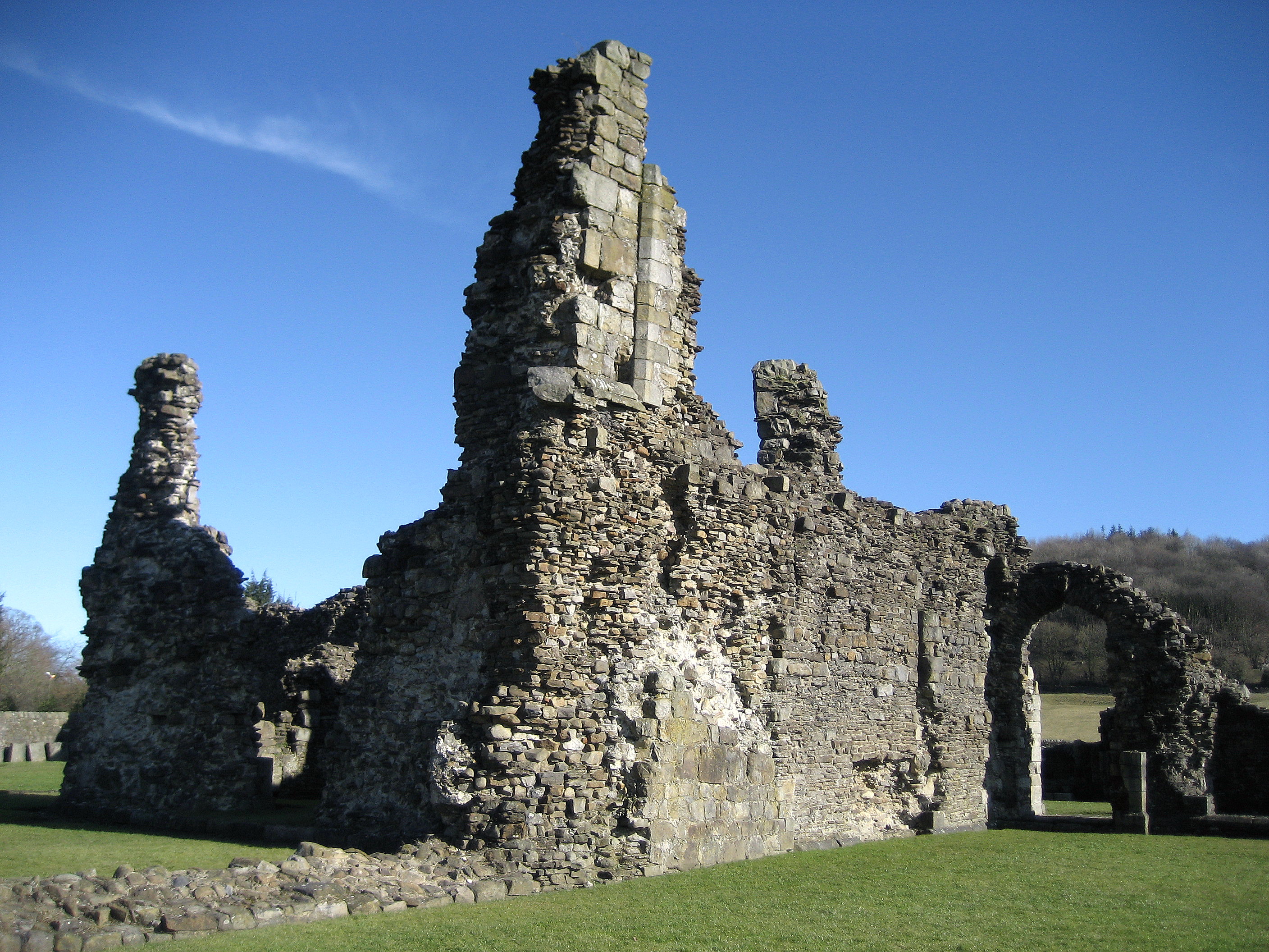
Sawley Abbey

Sawley Abbey was an abbey of Cistercian monks in the village of Sawley, Lancashire, in England (and historically in the West Riding of Yorkshire). Created...

Stock Beck

Stock Beck is a minor river in the West Craven area of Pendle, Lancashire (formerly in Yorkshire). It is 8.25 miles (13.27 km) long and has a catchment...

Gisburne Park

Gisburne Park is an 18th-century country house and associated park in Gisburn, Lancashire, England, in the Ribble Valley some 6 miles (10 km) north-east...

Nearby Amenities

Located within 500m of 53.949443,-2.3304186
New Cutting Plantation
Natural: woodland
Source: OS OpenData StreetView
Lat/Long: 53.9474095/-2.3303233
Balshaw Plantation
Natural: woodland
Source: OS OpenData StreetView
Lat/Long: 53.9496068/-2.3300873
New Ing wood
Natural: woodland
Source: OS OpenData StreetView
Lat/Long: 53.9525616/-2.3267184
Power: pole
Lat/Long: 53.9519417/-2.3307914
Power: pole
Lat/Long: 53.952491/-2.3306385
Power: pole
Lat/Long: 53.953307/-2.3304467
Power: pole
Lat/Long: 53.953408/-2.3336975
Power: pole
Lat/Long: 53.9536432/-2.332567
Power: pole
Lat/Long: 53.9538752/-2.3314016
The data included in this document is from www.openstreetmap.org. The data is made available under ODbL.

Have you been to Balshaw Plantation?

Leave your review of Balshaw Plantation below (or comments, questions and feedback).