Monk Wood

Wood, Forest in Northumberland

England

Monk Wood

The Old School House The Old School House at Keenley is at a crossroads and seen here along the road to the west-south-west; it dates from 1875 and is a listed building. The road is also part of the route of Isaac's Tea Trail.
The Old School House Credit: Trevor Littlewood

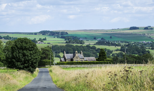
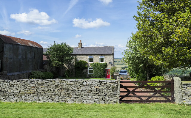
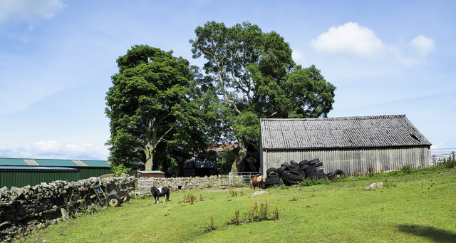
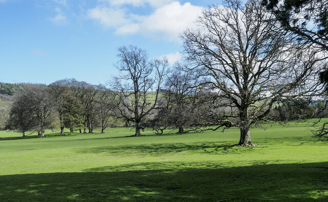
Monk Wood, located in Northumberland, is a picturesque forest known for its natural beauty and historical significance. Spanning over a vast area, this woodland is home to a diverse range of flora and fauna, making it a haven for nature lovers and wildlife enthusiasts.

The wood is characterized by its dense vegetation, consisting of towering trees, including oak, beech, and ash, that create a lush canopy overhead. The forest floor is adorned with a carpet of vibrant wildflowers, such as bluebells and primroses, which bloom in the spring and add a magical touch to the woodland.

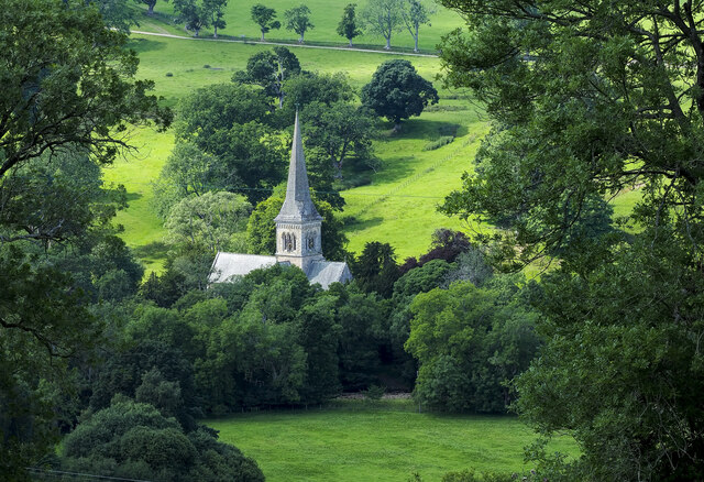
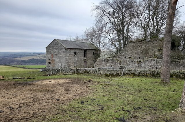
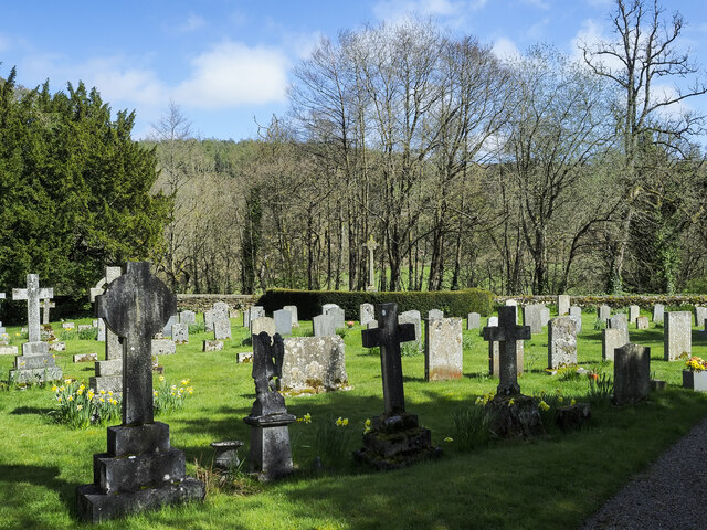
Monk Wood is not only a treat for the eyes but also holds great historical value. The name itself suggests a connection to the monastic period, indicating that the wood was once associated with nearby religious establishments. The ancient ruins of a monastery, believed to date back to the medieval era, can be found within the woodland, offering a glimpse into the region's rich past.

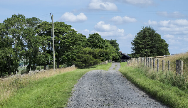
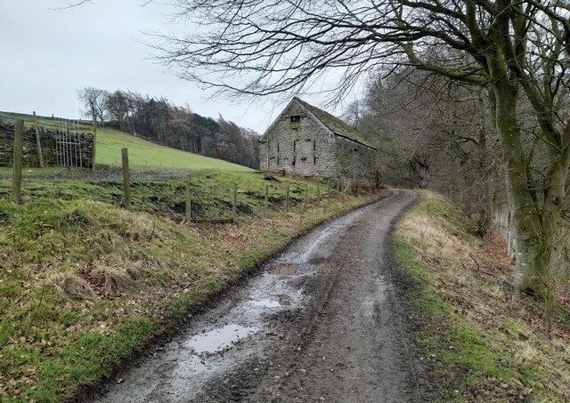
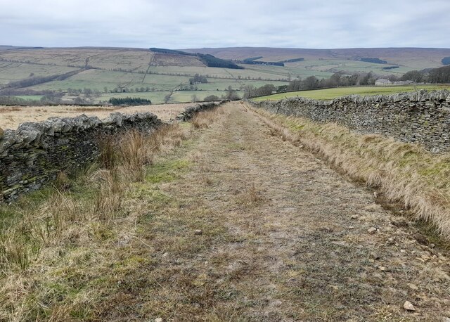
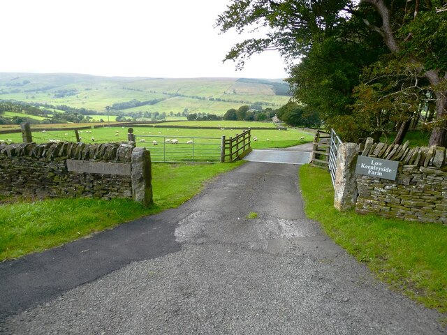
Wandering through Monk Wood, visitors can enjoy the tranquility of nature and take advantage of various walking trails that wind their way through the forest. These paths offer opportunities for exploration and provide a chance to spot some of the woodland's inhabitants, including deer, squirrels, and a variety of bird species.

Monk Wood truly offers a serene escape from the hustle and bustle of everyday life, providing visitors with a chance to immerse themselves in nature's beauty and uncover the secrets of Northumberland's history.

If you have any feedback on the listing, please let us know in the comments section below.

Monk Wood Images

Images are sourced within 2km of 54.896766/-2.3381493 or Grid Reference NY7855. Thanks to Geograph Open Source API. All images are credited.

The Old School House The Old School House at Keenley is at a crossroads and seen here along the road to the west-south-west; it dates from 1875 and is a listed building. The road is also part of the route of Isaac's Tea Trail.
The Old School House
The Old School House at Keenley is at a crossroads and seen here along the road to the west-south-west; it dates from 1875 and is a listed building. The road is also part of the route of Isaac's Tea Trail.
Public footpath descending at field edge Maps show the path route to descend between walls though the one to the right is clearly ruined and has perhaps been robbed of much of its stone.
The valley towards which the path is descending is West Allendale.
Public footpath descending at field edge
Maps show the path route to descend between walls though the one to the right is clearly ruined and has perhaps been robbed of much of its stone. The valley towards which the path is descending is West Allendale.
Farm access road for Harlow Bower The road access for the farm is some distance from the nearest public road which lies in the direction of the view, probably a half kilometre from Harlow Bower which is behind the camera position. The road is also a public footpath.
Farm access road for Harlow Bower
The road access for the farm is some distance from the nearest public road which lies in the direction of the view, probably a half kilometre from Harlow Bower which is behind the camera position. The road is also a public footpath.
Marginal farmland above eastern side of West Allendale The nearer enclosures are at best rough grazing and hardly better suited to use than moorland; it isn't classified as open access land. 
The same applies to much of the land in the middle distance.
The most distant hill dome is The Dodd rising to 614 metres - just over 2000 feet.
Marginal farmland above eastern side of West Allendale
The nearer enclosures are at best rough grazing and hardly better suited to use than moorland; it isn't classified as open access land. The same applies to much of the land in the middle distance. The most distant hill dome is The Dodd rising to 614 metres - just over 2000 feet.
Farm access road approaching Keenley Keenley is a small, dispersed community between the East and West Allendales. The road acts as the access route for the farm at Harlow Bower which lies behind the camera position; it's also a public footpath.
Farm access road approaching Keenley
Keenley is a small, dispersed community between the East and West Allendales. The road acts as the access route for the farm at Harlow Bower which lies behind the camera position; it's also a public footpath.
Slope with field surrounded by trees The slope is descending from the route of the 'Isaac Tea Trail', north-east of the farm at Monk.
The slope descends to the valley bottom of West Allendale where the church at Whitfield is prominent.
Slope with field surrounded by trees
The slope is descending from the route of the 'Isaac Tea Trail', north-east of the farm at Monk. The slope descends to the valley bottom of West Allendale where the church at Whitfield is prominent.
Farmhouse at Harlow Bower Harlow Bower is a farm above the eastern side of West Allendale. A public footpath uses its access road and is now part of the named route, Isaac's Tea Trail.
Farmhouse at Harlow Bower
Harlow Bower is a farm above the eastern side of West Allendale. A public footpath uses its access road and is now part of the named route, Isaac's Tea Trail.
Trees on moorland north of wall The trees are on grassy moorland north of a wall crossing close to the trig point known to the OS as Ripley Carrs.
Trees on moorland north of wall
The trees are on grassy moorland north of a wall crossing close to the trig point known to the OS as Ripley Carrs.
Ponies at Harlow Bower Harlow Bower is a farm along the route of the Isaac Tea Trail above West Allendale. The ponies (Shetlands?), are in a field with access to the barn, south of the main farm buildings.
Ponies at Harlow Bower
Harlow Bower is a farm along the route of the Isaac Tea Trail above West Allendale. The ponies (Shetlands?), are in a field with access to the barn, south of the main farm buildings.
Derelict Outbuildings at Keenleywell House A couple of derelict outbuildings at Keenleywell House.
Derelict Outbuildings at Keenleywell House
A couple of derelict outbuildings at Keenleywell House.
Stile near Harlow Bower Footpath stile near Harlow Bower farm.
Stile near Harlow Bower
Footpath stile near Harlow Bower farm.
Outbuilding at Monk An outbuilding at Monk Farm.
Outbuilding at Monk
An outbuilding at Monk Farm.
Track near Gate House Track near Gate House.
Track near Gate House
Track near Gate House.
Keenley Fell West Farm Keenley Fell West Farm.
Keenley Fell West Farm
Keenley Fell West Farm.
Gravestones at Holy Trinity Church, Whitfield Part of the graveyard on the south side of Holy Trinity Church in Whitfield, a small, estate village in West Allendale. The war memorial rises above all other memorials at the centre of the image where there's hedging.
Gravestones at Holy Trinity Church, Whitfield
Part of the graveyard on the south side of Holy Trinity Church in Whitfield, a small, estate village in West Allendale. The war memorial rises above all other memorials at the centre of the image where there's hedging.
Scattered trees in parkland These trees are in the valley of the River West Allen just north of Carr's Burn and are on the parkland at Whitfield Hall.
Curiously many of the trees, perhaps all of them, have a 'skirt' of stones around the bases of their trunks, surely placed there purposely. It's well seen in the nearest specimen and must be to afford some kind of protection.
Scattered trees in parkland
These trees are in the valley of the River West Allen just north of Carr's Burn and are on the parkland at Whitfield Hall. Curiously many of the trees, perhaps all of them, have a 'skirt' of stones around the bases of their trunks, surely placed there purposely. It's well seen in the nearest specimen and must be to afford some kind of protection.
Driveway to Keenleyside Hill Farm and Low Keenleyside Farm A steep drop down the hillside into West Allendale.
Driveway to Keenleyside Hill Farm and Low Keenleyside Farm
A steep drop down the hillside into West Allendale.
Hollow in hillside Obviously man-made, the hillside opposite the driveway to Low Keenleyside Farm has been excavated to make a small amphitheatre of unknown purpose. A small area of  hardstanding stands at the entrance.
Hollow in hillside
Obviously man-made, the hillside opposite the driveway to Low Keenleyside Farm has been excavated to make a small amphitheatre of unknown purpose. A small area of hardstanding stands at the entrance.
Show me another place!

Monk Wood is located at Grid Ref: NY7855 (Lat: 54.896766, Lng: -2.3381493)

Unitary Authority: Northumberland

Police Authority: Northumbria

What 3 Words

///debit.loud.huts. Near Bardon Mill, Northumberland

Nearby Locations

Lowhaber Wood Monk Wood

Related Wikis

Bearsbridge

Bearsbridge is a village in Northumberland, in England. It is situated to the west of Hexham, on the A686. == Governance == Bearsbridge is in the parliamentary...

Ninebanks

Ninebanks is a small village in south west Northumberland, England in the North Pennines Area of Outstanding Natural Beauty 8 miles (13 km) north-east...

Whitfield, Northumberland

Whitfield is a village and former civil parish, now in the parish of Plenmeller with Whitfield, in the county of Northumberland, England about 10 miles...

Allen Confluence Gravels

The Allen Confluence Gravels is the name given to a Site of Special Scientific Interest (SSSI) in Northumberland, England. The site, listed since 1968...

Ouston, Ninebanks

Ouston is a small settlement in south west Northumberland, England in the North Pennines Area of Outstanding Natural Beauty 8 miles (13 km) north-east...

Catton, Northumberland

Catton is a village in Northumberland, England. It is about 7 miles (11 km) to the southwest of Hexham and is located on the outskirts of Allendale �...

Staward Halt railway station

Staward Halt is a closed stone built railway station situated on a single track branch railway line in Northumberland, England, that ran from Allendale...

Allendale railway station

Allendale railway station was the terminus of the single track branch of the Hexham and Allendale Railway, in north east England. The line connected villages...

Have you been to Monk Wood?

Leave your review of Monk Wood below (or comments, questions and feedback).