Bath Coppice
Wood, Forest in Shropshire Wyre Forest
England
Bath Coppice
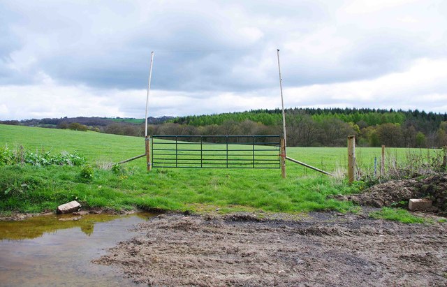
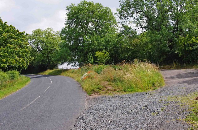
Bath Coppice is a charming woodland located in the county of Shropshire, England. Covering an area of approximately 40 hectares, it is a significant natural heritage site that offers a serene and tranquil escape from the bustling city life. The coppice is situated near the town of Ludlow and is easily accessible to visitors.
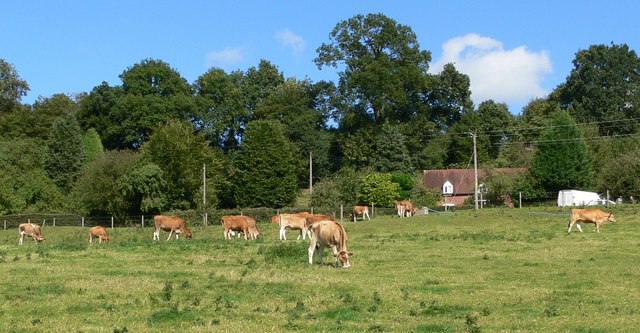
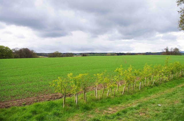
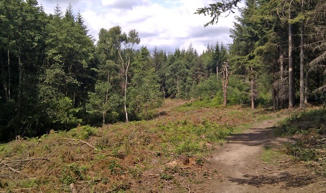
Renowned for its diverse range of tree species, Bath Coppice is primarily composed of oak and ash trees, which dominate the landscape. These ancient trees provide a rich habitat for a variety of wildlife, including birds, insects, and small mammals. The woodland floor is adorned with a plethora of wildflowers, creating a vibrant and picturesque scene during the spring and summer months.
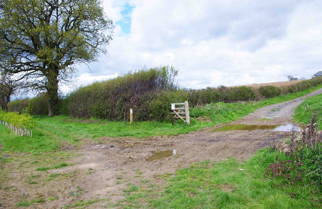
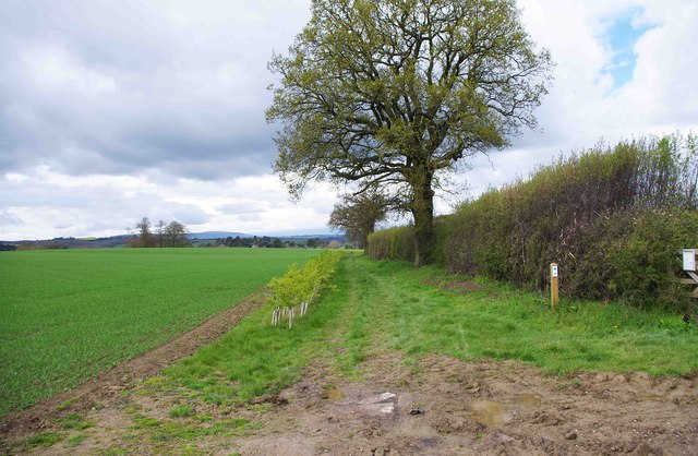
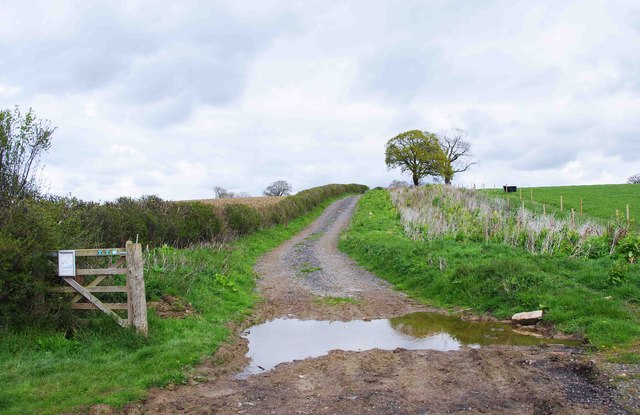
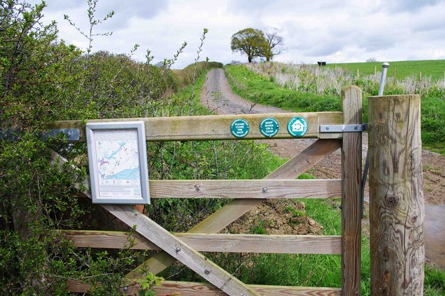
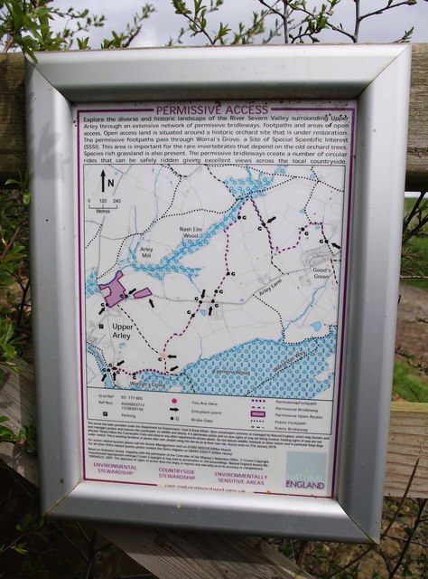
Bath Coppice is a popular destination for nature enthusiasts, photographers, and walkers who can explore the well-maintained footpaths that wind through the woods. The forest offers numerous trails of varying lengths, allowing visitors to immerse themselves in the natural beauty of the surroundings. Along these paths, walkers can discover hidden gems such as a small lake and a babbling brook, further enhancing the enchanting atmosphere.
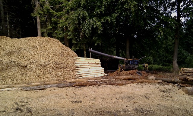
Managed by the local authorities, Bath Coppice is a protected site, ensuring the preservation of its unique flora and fauna. It serves as an important educational resource, offering guided walks and nature programs for schools and community groups. Furthermore, the coppice provides a valuable source of sustainable timber for local industries, adhering to responsible forestry practices.
Overall, Bath Coppice is a remarkable woodland area that showcases the beauty of nature in the heart of Shropshire. Its rich biodiversity, well-maintained trails, and educational initiatives make it an ideal location for both leisurely walks and environmental learning.
If you have any feedback on the listing, please let us know in the comments section below.
Bath Coppice Images
Images are sourced within 2km of 52.402063/-2.3291505 or Grid Reference SO7778. Thanks to Geograph Open Source API. All images are credited.


Bath Coppice is located at Grid Ref: SO7778 (Lat: 52.402063, Lng: -2.3291505)
Administrative County: Worcestershire
District: Wyre Forest
Police Authority: West Mercia
What 3 Words
///jabs.hothouse.bearable. Near Bewdley, Worcestershire
Nearby Locations
Related Wikis

Northwood Halt railway station
Northwood Halt is an unstaffed request stop on the Severn Valley Railway in Worcestershire, situated a little to the north of Bewdley on the outskirts...

Shatterford Hill
Shatterford Hill is an English geographical feature that extends from Bewdley in north Worcestershire to Birdsgreen near Alveley, just over the border...

Victoria Bridge, Worcestershire
The Victoria Bridge crosses the River Severn between Arley and Bewdley in Worcestershire, England. At the time of its construction, the 200-foot railway...

Trimpley
Trimpley (grid reference SO793784) is a hamlet in the parish of Kidderminster Foreign. It lies on the ridge of Shatterford Hill, north of Wribbenhall...

Dowles
Dowles is a hamlet in the civil parish of Upper Arley, in the Wyre Forest district, in the county of Worcestershire, England. It is about 3 miles from...

Dowles Brook
Dowles Brook flows through the heart of the Wyre Forest, into the former civil parish of Dowles and into the River Severn. == History == In 1902, ornithologist...

Arley railway station
Arley railway station is a station on the Severn Valley Railway heritage line in Worcestershire, situated just over the River Severn from the village of...

Pound Green
Pound Green is a hamlet in Upper Arley, Worcestershire, England. It has a number of tourist landmarks such as Ye Olde New Inn and a village hall that also...
Nearby Amenities
Located within 500m of 52.402063,-2.3291505Have you been to Bath Coppice?
Leave your review of Bath Coppice below (or comments, questions and feedback).