Park House Wood
Wood, Forest in Lancashire Rossendale
England
Park House Wood
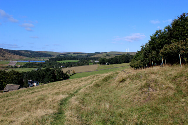
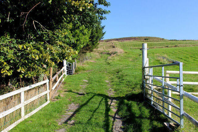
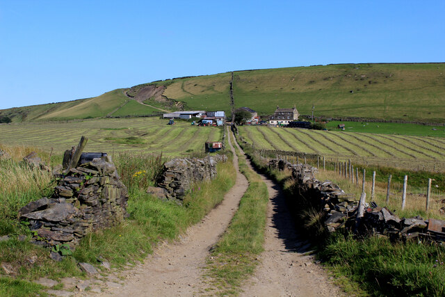
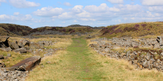
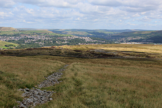
Park House Wood is a charming woodland located in the county of Lancashire, England. Situated in a rural area, this woodland offers visitors a peaceful and serene retreat from the hustle and bustle of everyday life. Covering an area of approximately 100 acres, Park House Wood is a haven for nature enthusiasts and outdoor lovers.
The woodland is predominantly composed of deciduous trees, including oak, beech, and birch, which create a dense and lush canopy. The forest floor is adorned with a variety of wildflowers and ferns, adding to the beauty and diversity of the woodland.
Park House Wood is home to a plethora of wildlife, making it an ideal spot for birdwatching and nature spotting. Visitors may have the chance to observe woodland birds such as woodpeckers, owls, and thrushes, as well as small mammals like squirrels and rabbits. The woodland also provides habitats for a range of insect species, contributing to the delicate ecosystem of the area.
There are several well-maintained trails that wind through the woodland, allowing visitors to explore and immerse themselves in the natural beauty of the surroundings. These paths are suitable for walkers of all abilities and offer picturesque views at every turn.
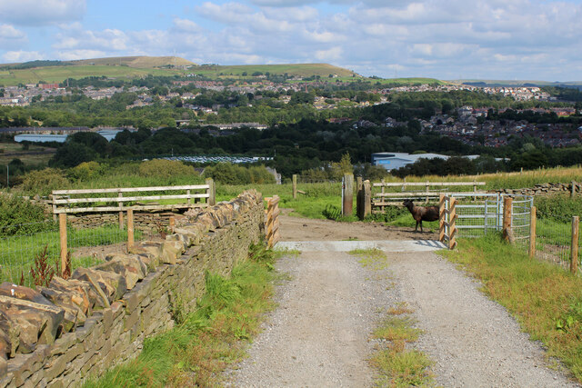
In addition to its natural beauty, Park House Wood also has a picnic area and a small parking lot, ensuring visitors have the necessary facilities for a comfortable and enjoyable visit. Whether it's a leisurely stroll, a family picnic, or a nature photography expedition, Park House Wood offers a delightful experience for all who venture into its enchanting embrace.
If you have any feedback on the listing, please let us know in the comments section below.
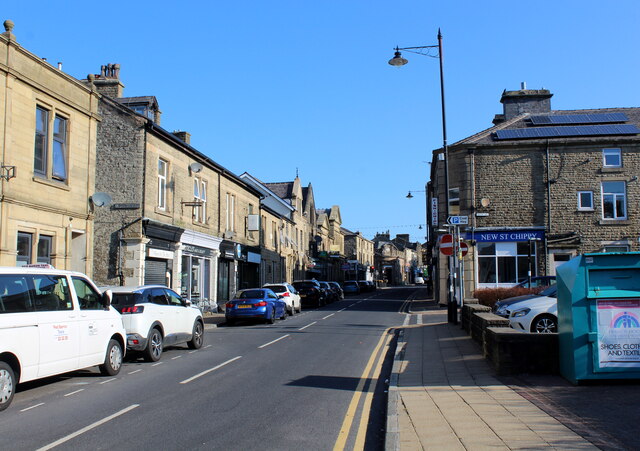
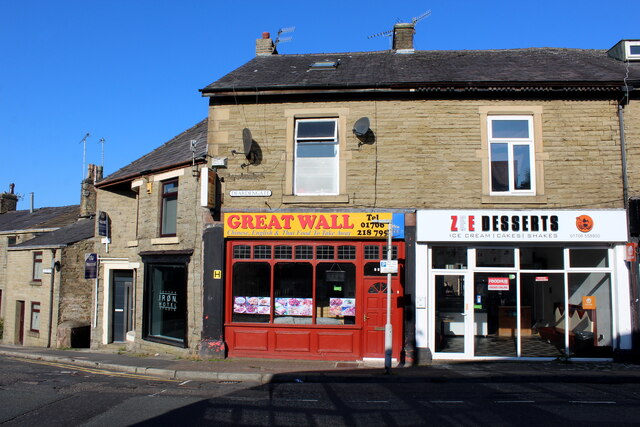
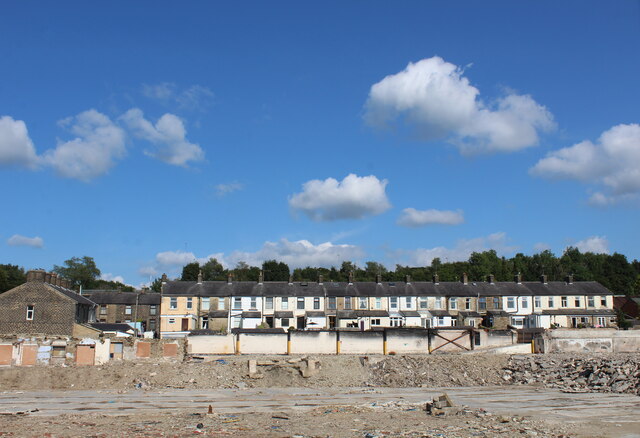
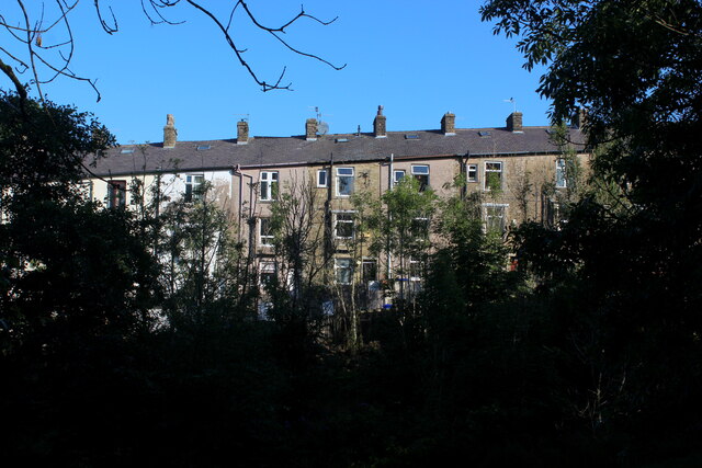
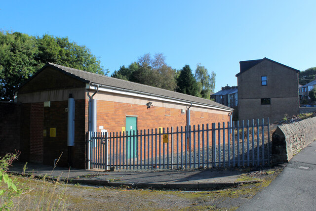
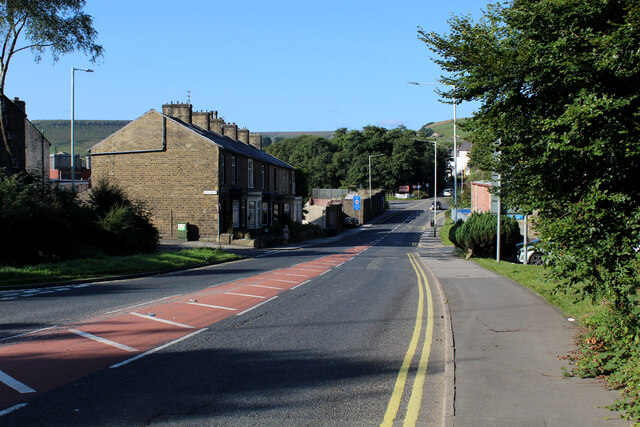
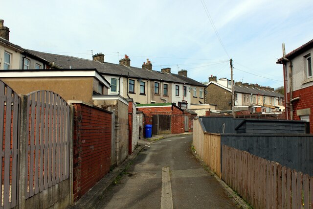
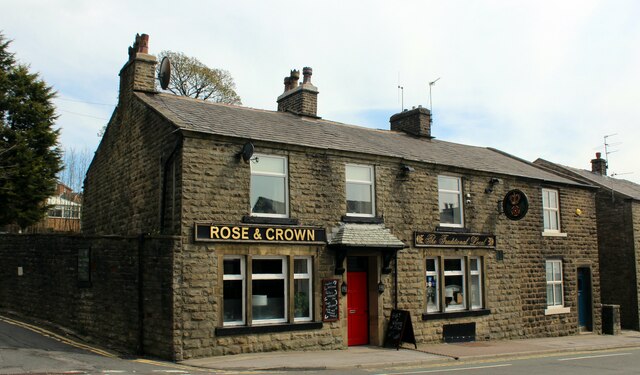
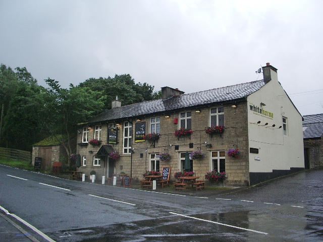
Park House Wood Images
Images are sourced within 2km of 53.690799/-2.3390796 or Grid Reference SD7721. Thanks to Geograph Open Source API. All images are credited.
Park House Wood is located at Grid Ref: SD7721 (Lat: 53.690799, Lng: -2.3390796)
Administrative County: Lancashire
District: Rossendale
Police Authority: Lancashire
What 3 Words
///standing.anthems.raven. Near Haslingden, Lancashire
Nearby Locations
Related Wikis

Helmshore Mills Textile Museum
Helmshore Mills are two mills built on the River Ogden in Helmshore, Lancashire. Higher Mill was built in 1796 for William Turner, and Whitaker's Mill...
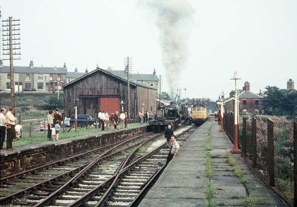
Helmshore railway station
Helmshore railway station served the village of Helmshore, Rossendale, Lancashire between 1848 and 1966. == Construction and location == Helmshore station...
Helmshore
Helmshore () is a village in the Rossendale Valley, Lancashire, England, south of Haslingden between the A56 and the B6235, 16 miles (26 km) north of Manchester...

Musbury Valley
The Musbury Valley is a small valley in the Helmshore area of Rossendale Valley, Lancashire. Musbury Brook flows through its length, and its south side...

Musbury Tor
Musbury Tor or Tor Hill is a flat-topped hill in south-east Lancashire, England. It overlooks the village of Helmshore and separates Alden Valley to its...
Bent Gate
Bent Gate is a suburb of Haslingden, Lancashire, England, approximately one mile south of Haslingden town centre. Haslingden Cricket Club's ground, called...

Haslingden High School
Haslingden High School is a secondary school located in Haslingden, Rossendale, England. The school receives children from many local primary schools,...
The Valley Leadership Academy
The Valley Leadership Academy (formerly Fearns Community Sports College) is an 11–16 co-educational secondary school with academy status in Stacksteads...
Nearby Amenities
Located within 500m of 53.690799,-2.3390796Have you been to Park House Wood?
Leave your review of Park House Wood below (or comments, questions and feedback).