Brown Banks Wood
Wood, Forest in Lancashire Ribble Valley
England
Brown Banks Wood
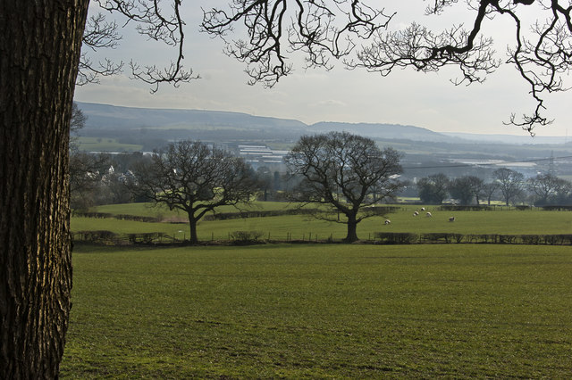
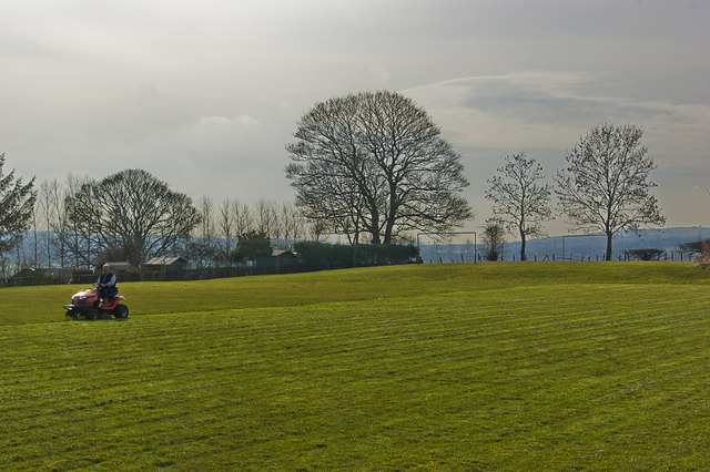
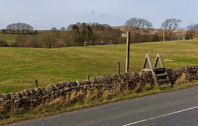
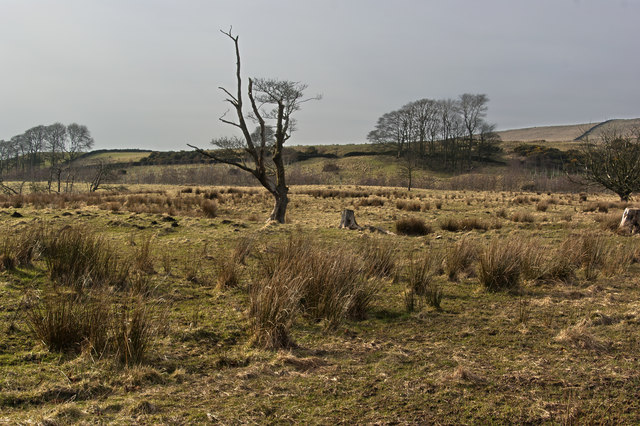
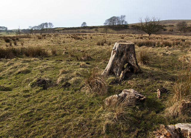
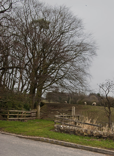
Brown Banks Wood is a charming woodland located in the county of Lancashire, England. Situated on the outskirts of the small village of Brown Banks, this forested area covers an approximate area of 50 acres. The wood is nestled in a serene landscape, surrounded by rolling hills and picturesque countryside.
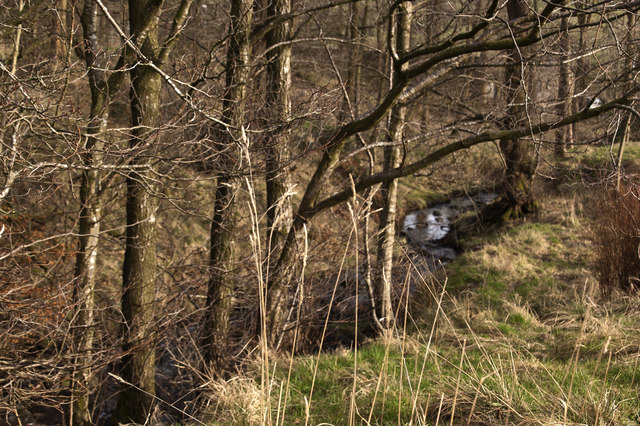
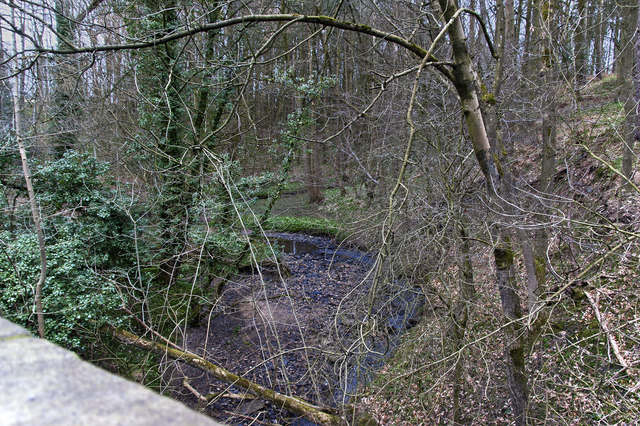
The woodland is predominantly composed of native deciduous trees, such as oak, birch, and beech, which create a stunning canopy during the summer months. These trees provide a habitat for a diverse range of flora and fauna, making it a popular spot for nature enthusiasts and wildlife lovers.
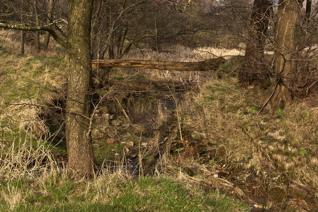
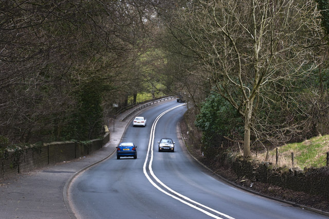
Visitors to Brown Banks Wood can enjoy a network of well-maintained walking trails that wind through the forest, allowing them to explore the area at their own pace. These trails offer breathtaking views of the surrounding countryside and wildlife sightings are common, including various bird species, squirrels, and rabbits.
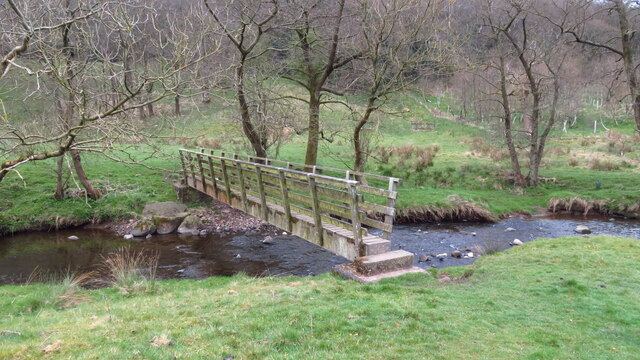
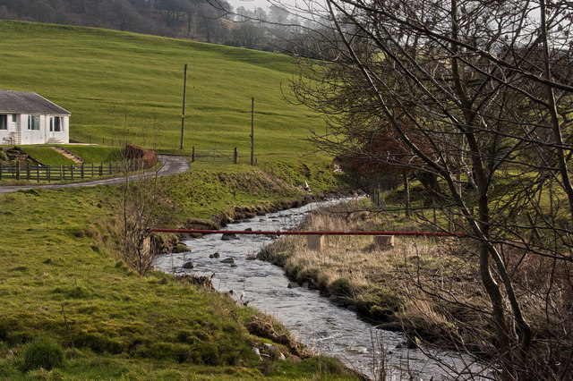
The wood is also home to a small stream that meanders through the trees, adding to the tranquility and natural beauty of the area. This stream attracts a variety of aquatic creatures, including frogs, newts, and mayflies.
Brown Banks Wood is a haven for outdoor activities such as hiking, picnicking, and photography. It offers a peaceful escape from the hustle and bustle of everyday life, providing visitors with an opportunity to connect with nature and enjoy the beauty of the Lancashire countryside.
If you have any feedback on the listing, please let us know in the comments section below.
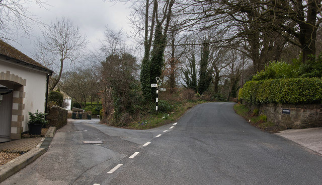
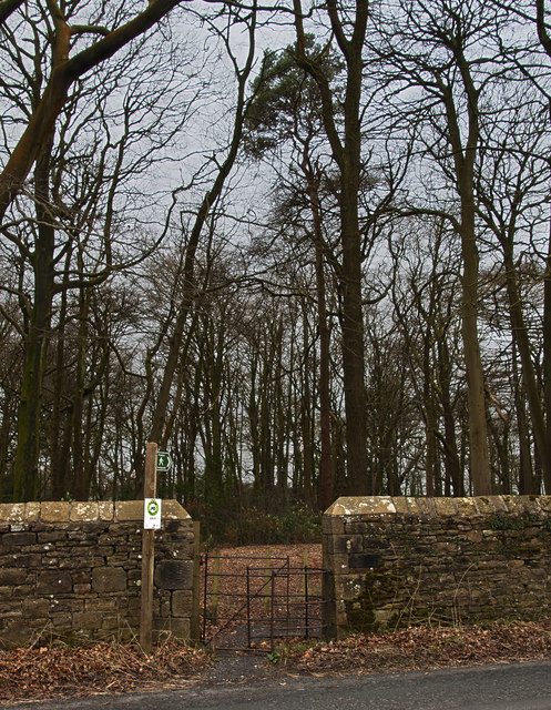
Brown Banks Wood Images
Images are sourced within 2km of 53.818759/-2.340067 or Grid Reference SD7735. Thanks to Geograph Open Source API. All images are credited.
Brown Banks Wood is located at Grid Ref: SD7735 (Lat: 53.818759, Lng: -2.340067)
Administrative County: Lancashire
District: Ribble Valley
Police Authority: Lancashire
What 3 Words
///estuaries.genius.comedians. Near Sabden, Lancashire
Nearby Locations
Related Wikis

Huntroyde Hall
Huntroyde Hall is a grade II listed, 16th-century house in the civil parish of Simonstone in the Borough of Ribble Valley, Lancashire, England. Its estate...

Simonstone, Lancashire
Simonstone is a small village and civil parish in the Ribble Valley district of Lancashire, England. The population of the civil parish taken at the 2011...

Sabden
Sabden is a village and civil parish in the Ribble Valley, Lancashire, England. Sabden is located south of Pendle Hill, in a valley about three miles north...

Read, Lancashire
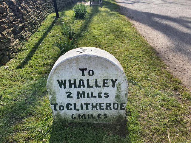
Read is a village in Lancashire 5 miles west northwest of Burnley and 2 miles east of Whalley. It is on the A671 which is the main road between Burnley...

Padiham F.C.
Padiham Football Club are an English football team based in Padiham, Lancashire. As of 2019–20, they play in the North West Counties League Premier Division...
Read Hall and Park
Read Hall and Park is a manor house with ornamental grounds of about 450 acres (180 ha) in Whalley Road, Read, a few miles west of Padiham, Lancashire...

Simonstone railway station
Simonstone railway station was located on the east side of Simonstone Lane, 0.75 miles (1 km) south of Simonstone centre and near Padiham, Lancashire,...

Gawthorpe (ward)
Gawthorpe is an electoral ward in the non-metropolitan district of Burnley in Lancashire, England. The population of the Burnley Ward at the 2011 census...
Nearby Amenities
Located within 500m of 53.818759,-2.340067Have you been to Brown Banks Wood?
Leave your review of Brown Banks Wood below (or comments, questions and feedback).