Annhill Coppice

Wood, Forest in Worcestershire Wyre Forest

England

Annhill Coppice

A train approaching Arley Standard class 4 No.75069.
A train approaching Arley Credit: John Lucas

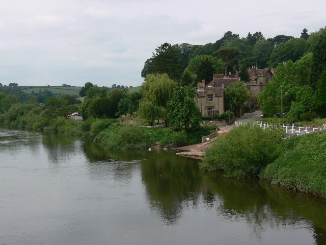
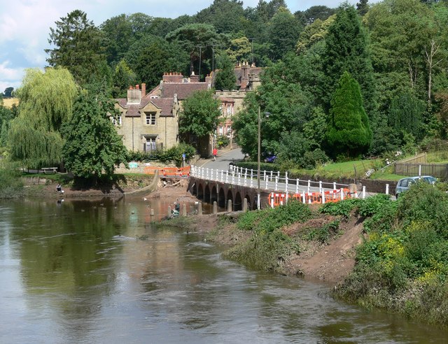
Annhill Coppice is a picturesque woodland located in Worcestershire, England. Stretching over an area of approximately 50 hectares, it is a captivating forest renowned for its natural beauty and rich biodiversity. The coppice is situated on the outskirts of the village of Annhill, offering a tranquil retreat for nature enthusiasts and hikers alike.

The woodland is predominantly composed of broadleaf trees, including oak, ash, and birch, creating a dense canopy that provides shade throughout the year. The forest floor is covered in a lush carpet of ferns, bluebells, and other wildflowers, adding to its enchanting appeal. Annhill Coppice is home to a diverse range of wildlife, including deer, foxes, badgers, and a variety of bird species, making it a haven for nature lovers and birdwatchers.

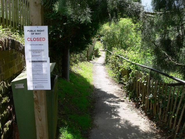
The woodland offers several well-maintained walking trails that allow visitors to explore its natural wonders. These paths wind through the forest, offering panoramic views of the surrounding countryside and the nearby Annhill village. The serenity of the coppice makes it an ideal spot for picnics, meditation, or simply escaping the hustle and bustle of everyday life.

Annhill Coppice is also of historical significance, with evidence of human activity dating back centuries. It was once used for timber production and charcoal making, reflecting its importance as a natural resource in the past. Today, the woodland is protected and managed by local authorities to ensure its preservation for future generations to enjoy.

Overall, Annhill Coppice is a captivating woodland that offers a peaceful retreat for visitors, showcasing the beauty of Worcestershire's natural landscapes.

If you have any feedback on the listing, please let us know in the comments section below.

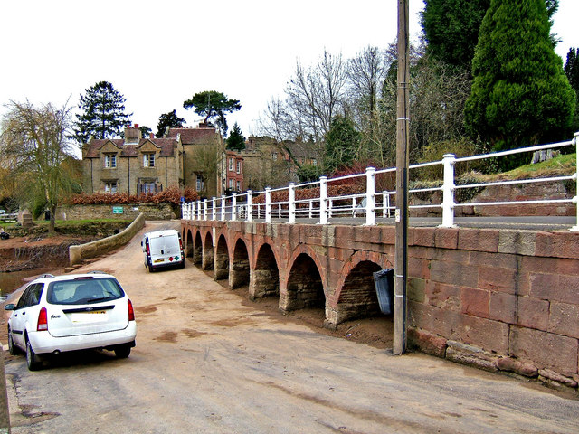
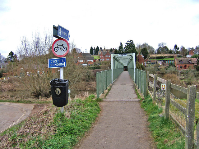
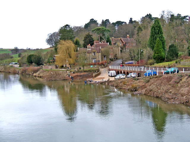
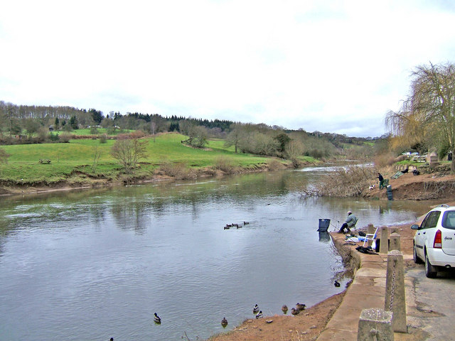
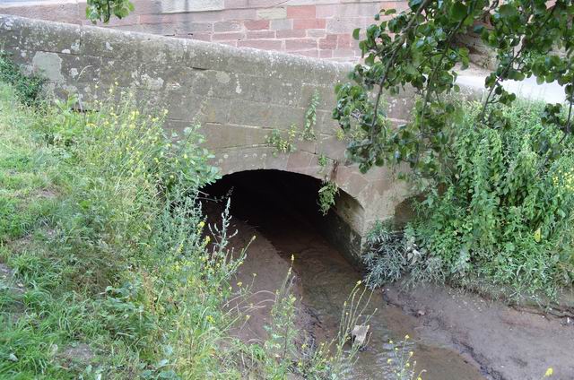
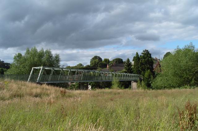
Annhill Coppice Images

Images are sourced within 2km of 52.407105/-2.3296144 or Grid Reference SO7778. Thanks to Geograph Open Source API. All images are credited.

A train approaching Arley Standard class 4 No.75069.
A train approaching Arley
Standard class 4 No.75069.
Upper Arley village and the river Severn Seen across the River Severn. The ramp on the far bank was the slipway to the former ferry, now replaced by a footbridge just out of shot to the right.
Upper Arley village and the river Severn
Seen across the River Severn. The ramp on the far bank was the slipway to the former ferry, now replaced by a footbridge just out of shot to the right.
Upper Arley
Upper Arley
Village Store, Upper Arley
Upper Arley and River Severn The view from the footbridge, with the slipway from the former ferry.
Upper Arley and River Severn
The view from the footbridge, with the slipway from the former ferry.
Upper Arley Flood damage from the River Severn is visible next to the road. Viewed from the footbridge across the river.
Upper Arley
Flood damage from the River Severn is visible next to the road. Viewed from the footbridge across the river.
Closed due to flood damage This is the Severn Way public footpath at Upper Arley, closed due to part of the path being washed away at: <a href="https://www.geograph.org.uk/photo/493484">SO7679 : Severn Way flood damage</a>
Closed due to flood damage
This is the Severn Way public footpath at Upper Arley, closed due to part of the path being washed away at: SO7679 : Severn Way flood damage
Footbridge Crossing the River Severn at Upper Arley.
Footbridge
Crossing the River Severn at Upper Arley.
Severn Way at Upper Arley Public footpath as it enters Upper Arley.
Severn Way at Upper Arley
Public footpath as it enters Upper Arley.
Upper Arley from the SVR station
Upper Arley (1980)
Upper Arley (1980)
Upper Arley village road on embankment The unclassified road which serves the small village of Upper Arley is carried along a raised embankment at this point where it passes the small harbour.  Today the village is in Worcestershire but a long time ago it was actually in Staffordshire.
Upper Arley village road on embankment
The unclassified road which serves the small village of Upper Arley is carried along a raised embankment at this point where it passes the small harbour. Today the village is in Worcestershire but a long time ago it was actually in Staffordshire.
Footbridge over the River Severn There is no longer a ferry across the river at Upper Arley but instead the river can be crossed by foot using this bridge.  You can also wheel a cycle over it, but it is too narrow for 4 wheeled vehicles.  The bridge usefully links the picturesque village of Upper Arley to both Arley station on the Severn Valley Railway and to The Harbour Inn, there being no public house in the village itself.
Footbridge over the River Severn
There is no longer a ferry across the river at Upper Arley but instead the river can be crossed by foot using this bridge. You can also wheel a cycle over it, but it is too narrow for 4 wheeled vehicles. The bridge usefully links the picturesque village of Upper Arley to both Arley station on the Severn Valley Railway and to The Harbour Inn, there being no public house in the village itself.
Upper Arley village seen from the river footbridge This view shows the village of Upper Arley and the River Severn as seen from the nearby footbridge crossing the river.
Upper Arley village seen from the river footbridge
This view shows the village of Upper Arley and the River Severn as seen from the nearby footbridge crossing the river.
River Severn seen from village of Upper Arley This view shows the River Severn, complete with a few anglers, as seen from the village of Upper Arley.
River Severn seen from village of Upper Arley
This view shows the River Severn, complete with a few anglers, as seen from the village of Upper Arley.
Bridge Over A Stream
Footbridge Over The River Severn
Show me another place!

Annhill Coppice is located at Grid Ref: SO7778 (Lat: 52.407105, Lng: -2.3296144)

Administrative County: Worcestershire

District: Wyre Forest

Police Authority: West Mercia

What 3 Words

///cattle.hypnotist.gasp. Near Bewdley, Worcestershire

Related Wikis

Shatterford Hill

Shatterford Hill is an English geographical feature that extends from Bewdley in north Worcestershire to Birdsgreen near Alveley, just over the border...

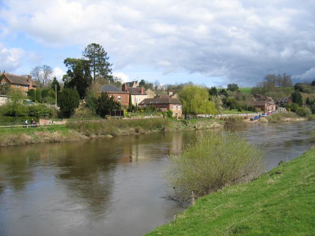
Victoria Bridge, Worcestershire

The Victoria Bridge crosses the River Severn between Arley and Bewdley in Worcestershire, England. At the time of its construction, the 200-foot railway...

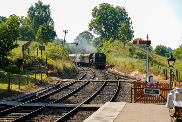
Northwood Halt railway station

Northwood Halt is an unstaffed request stop on the Severn Valley Railway in Worcestershire, situated a little to the north of Bewdley on the outskirts...

Arley railway station

Arley railway station is a station on the Severn Valley Railway heritage line in Worcestershire, situated just over the River Severn from the village of...

Trimpley

Trimpley (grid reference SO793784) is a hamlet in the parish of Kidderminster Foreign. It lies on the ridge of Shatterford Hill, north of Wribbenhall...

Upper Arley

Upper Arley (grid reference SO765805) is a village and civil parish near Kidderminster in the Wyre Forest District of Worcestershire, England. Historically...

Arley House and Gardens

Arley House and Gardens are situated at Upper Arley, about 4 miles (6.4 km) north-west of Bewdley, in Worcestershire, England. The gardens, arboretum and...

Pound Green

Pound Green is a hamlet in Upper Arley, Worcestershire, England. It has a number of tourist landmarks such as Ye Olde New Inn and a village hall that also...

Nearby Amenities

Located within 500m of 52.407105,-2.3296144
Trimpley Reservoir Site
Naptan AtcoCode: 2000G610004
Naptan Bearing: W
Naptan BusStopType: CUS
Naptan CommonName: Trimpley Reservior
Naptan Indicator: adj
Naptan Landmark: Trimpley Reservior
Naptan NaptanCode: wocdpmdp
Naptan Street: Road End
Naptan Verified: no
Source: naptan_import
Lat/Long: 52.4103241/-2.3343994
Railway: crossing
Lat/Long: 52.4066117/-2.3329162
Bench
Backrest: yes
Lat/Long: 52.4065703/-2.3357876
Bench
Source: survey;gps
Lat/Long: 52.4053668/-2.3335567
The data included in this document is from www.openstreetmap.org. The data is made available under ODbL.

Have you been to Annhill Coppice?

Leave your review of Annhill Coppice below (or comments, questions and feedback).