Broad Wood

Wood, Forest in Northumberland

England

Broad Wood

Houses on Millfield Court, Bardon Mill
Houses on Millfield Court, Bardon Mill Credit: Robin Webster

Broad Wood is a picturesque forest located in Northumberland, England. Covering an area of approximately 200 acres, this woodland is known for its diverse range of flora and fauna, making it a popular destination for nature lovers and outdoor enthusiasts.

The forest is dominated by a mix of broadleaf and coniferous trees, including oak, beech, and pine, creating a rich and varied landscape. The forest floor is carpeted with an assortment of wildflowers, ferns, and mosses, adding to the beauty of the woodland.

Broad Wood is home to a variety of wildlife, including deer, squirrels, and a wide array of bird species. Birdwatchers can often spot woodpeckers, owls, and other woodland birds in the trees.

Visitors to Broad Wood can enjoy a network of walking trails that wind through the forest, allowing them to explore its natural beauty at their own pace. There are also picnic areas and rest spots scattered throughout the woodland, making it an ideal spot for a day out with family or friends.

Overall, Broad Wood is a tranquil and scenic woodland that offers a peaceful retreat from the hustle and bustle of everyday life.

If you have any feedback on the listing, please let us know in the comments section below.
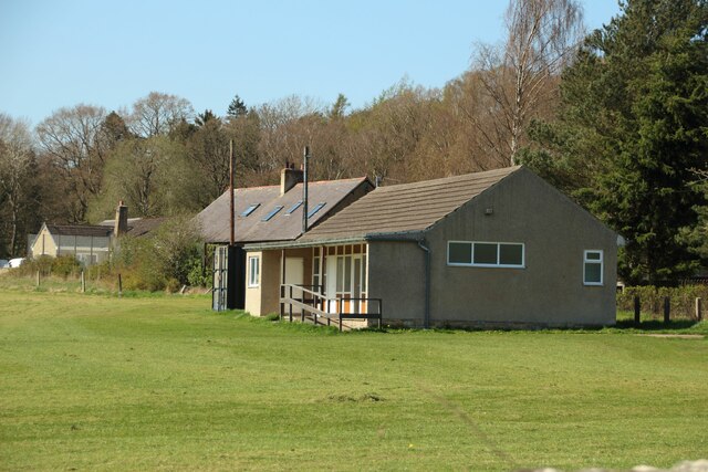
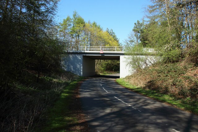
Broad Wood Images

Images are sourced within 2km of 54.96829/-2.3503404 or Grid Reference NY7763. Thanks to Geograph Open Source API. All images are credited.

Houses on Millfield Court, Bardon Mill
Pond near railway
Pond near railway
Cattle between railway and River South Tyne And across the river is Crow Hall.
Cattle between railway and River South Tyne
And across the river is Crow Hall.
Bardon Mill Station looking west
Lay-by on the A69 near Henshaw
Allen Banks : view over Ridley Hall
Farmland at Tow House
Farmland near Beltingham
Beltingham House Fine stone house next to the church in the centre of a small village which overlooks the South Tyne river.
Beltingham House
Fine stone house next to the church in the centre of a small village which overlooks the South Tyne river.
Grassfields at Barcombe Grove Grassfields being grazed by sheep north of Bardon Mill.
Grassfields at Barcombe Grove
Grassfields being grazed by sheep north of Bardon Mill.
Road junction, Westwood Cottages A crossroads at the centre of the small hamlet of Westwood Cottages.
Road junction, Westwood Cottages
A crossroads at the centre of the small hamlet of Westwood Cottages.
Grassland at West End Town Fields of grass being grazed by sheep at West End Town.
Grassland at West End Town
Fields of grass being grazed by sheep at West End Town.
Bardon Mill Football Club clubhouse The clubhouse for the local football team on their ground on the northern edge of Bardon Mill.
Bardon Mill Football Club clubhouse
The clubhouse for the local football team on their ground on the northern edge of Bardon Mill.
Minor road passing under the A69 A minor road passes under the A69 north of Bardon Mill using this underpass.
Minor road passing under the A69
A minor road passes under the A69 north of Bardon Mill using this underpass.
The Tyne Valley Line at Bardon Mill Looking east along the route of the Newcastle to Carlisle rail line at Bardon Mill.
The Tyne Valley Line at Bardon Mill
Looking east along the route of the Newcastle to Carlisle rail line at Bardon Mill.
Platform at Bardon Mill The platform for eastbound trains travelling from Carlisle to Newcastle on the Tyne Valley Line.
Platform at Bardon Mill
The platform for eastbound trains travelling from Carlisle to Newcastle on the Tyne Valley Line.
Allensgreen Farm The farm house at Allensgreen.
Allensgreen Farm
The farm house at Allensgreen.
Farm buildings Traditional farm barns at Allengreen.
Farm buildings
Traditional farm barns at Allengreen.
Show me another place!

Broad Wood is located at Grid Ref: NY7763 (Lat: 54.96829, Lng: -2.3503404)

Unitary Authority: Northumberland

Police Authority: Northumbria

What 3 Words

///post.trickle.purifier. Near Bardon Mill, Northumberland

Nearby Locations

Broad Wood Willimoteswick

Related Wikis

Redburn, Northumberland

Redburn is a village in Northumberland, England about 0.5 miles (0.80 km) west of Bardon Mill. It is situated about 4 miles (6 km) south of Hadrian's Wall...

Bardon Mill railway station

Bardon Mill is a railway station on the Tyne Valley Line, which runs between Newcastle and Carlisle via Hexham. The station, situated 27 miles 54 chains...

Beltingham River Shingle

Beltingham River Shingle is the name given to a Site of Special Scientific Interest (SSSI) in Northumberland in the north-east of England, notable for...

Beltingham

Beltingham is a small village on the River South Tyne in Northumberland, in England. It is situated 1 mile (2 km) southeast of Bardon Mill and 10 miles...

Nearby Amenities

Located within 500m of 54.96829,-2.3503404
High Barn
Place: locality
Lat/Long: 54.9650357/-2.3482735
Power: pole
Lat/Long: 54.9660928/-2.356413
Power: pole
Lat/Long: 54.9663773/-2.3550838
Power: pole
Lat/Long: 54.9666619/-2.3537481
Power: pole
Lat/Long: 54.9669464/-2.3523996
Power: pole
Lat/Long: 54.9672475/-2.3510253
Power: pole
Lat/Long: 54.9673602/-2.3496478
Power: pole
Lat/Long: 54.9675186/-2.3481942
Power: pole
Lat/Long: 54.9676587/-2.3467519
Power: pole
Lat/Long: 54.9673348/-2.3454522
Power: pole
Lat/Long: 54.967/-2.3441145
Power: pole
Lat/Long: 54.9667525/-2.3431476
The data included in this document is from www.openstreetmap.org. The data is made available under ODbL.

Have you been to Broad Wood?

Leave your review of Broad Wood below (or comments, questions and feedback).