Mere Eye Covert
Wood, Forest in Staffordshire Stafford
England
Mere Eye Covert
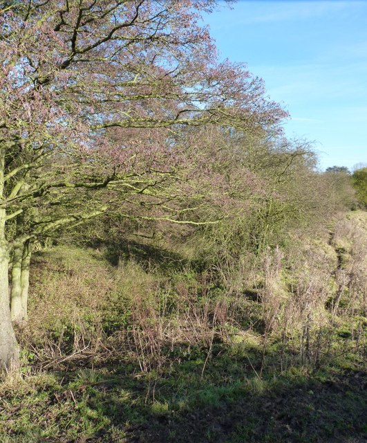
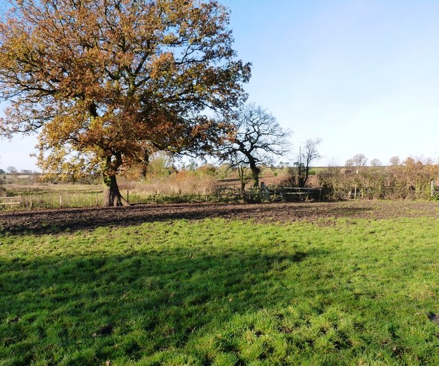
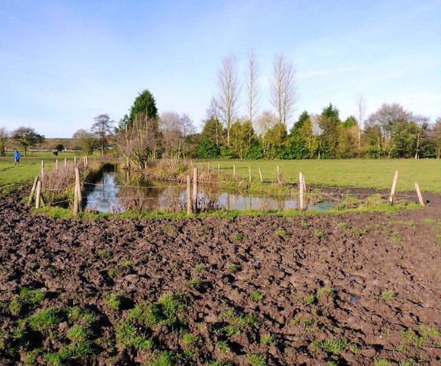
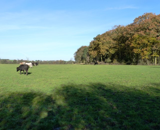
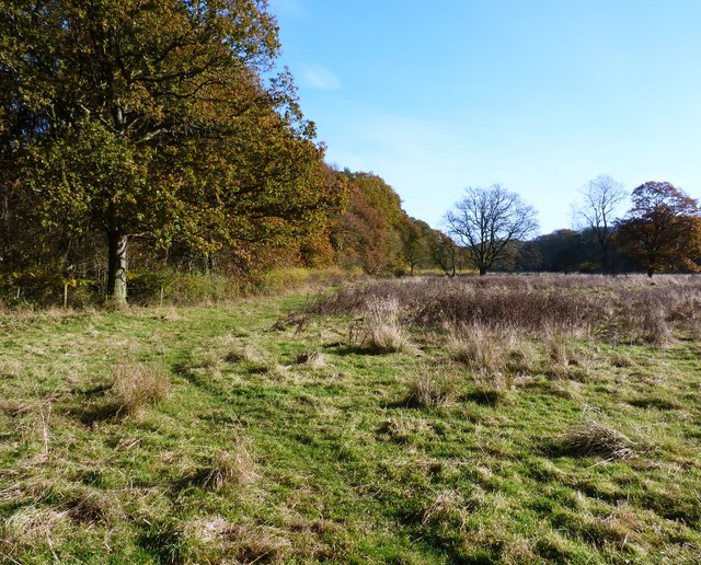
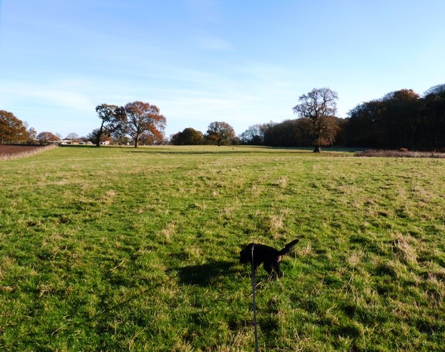
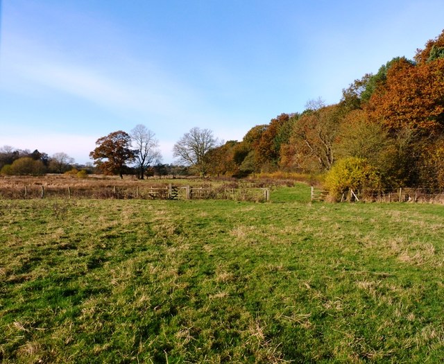
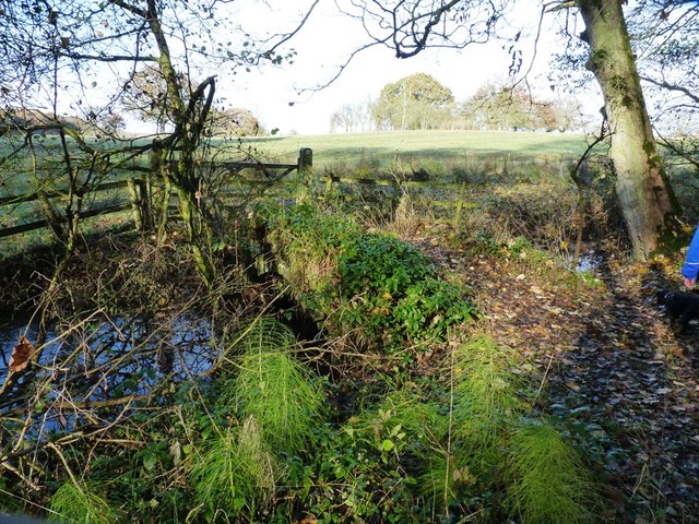
Mere Eye Covert is a woodland area located in Staffordshire, England. Spanning over a vast expanse, it is a remarkable natural haven nestled within the heart of the county. The woodland is situated near the village of Mere, which adds to its charm and accessibility.
The forest boasts a diverse range of tree species, including oak, ash, and beech, which create an enchanting canopy overhead. The lush undergrowth is home to an array of flora, such as bluebells, foxgloves, and wood sorrel, which bloom in vibrant colors throughout the seasons.
Mere Eye Covert is not only a picturesque landscape but also a thriving ecosystem. The woodland provides a sanctuary for various wildlife species, including deer, badgers, and a multitude of bird species. It is a popular spot for birdwatching enthusiasts, who come to admire the resident species and the migratory birds that pass through during different times of the year.
The woodland is also a haven for nature enthusiasts and hikers. It offers a network of well-maintained trails that wind through the forest, providing opportunities for leisurely walks and invigorating hikes. Along the trails, visitors can enjoy breathtaking views, discover hidden streams, and listen to the serene sounds of nature.
Mere Eye Covert is not only a natural treasure but also an important part of Staffordshire's heritage. The woodland has been preserved and protected for generations, ensuring its beauty and ecological significance remain intact for years to come.
If you have any feedback on the listing, please let us know in the comments section below.
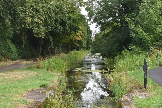
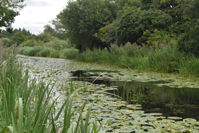
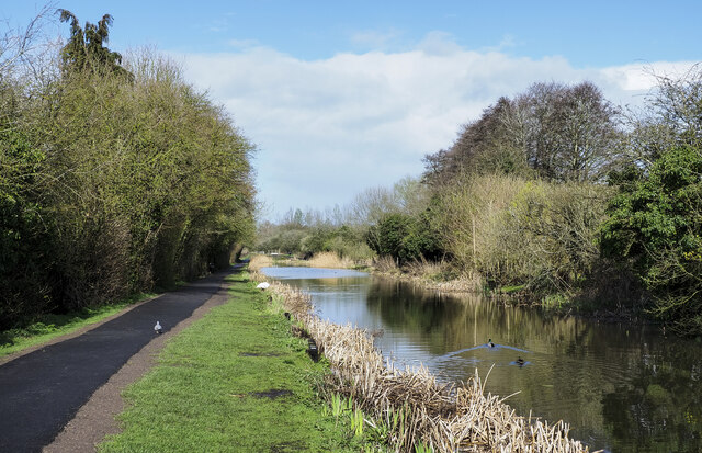
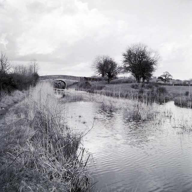
Mere Eye Covert Images
Images are sourced within 2km of 52.781508/-2.3504219 or Grid Reference SJ7620. Thanks to Geograph Open Source API. All images are credited.


Mere Eye Covert is located at Grid Ref: SJ7620 (Lat: 52.781508, Lng: -2.3504219)
Administrative County: Staffordshire
District: Stafford
Police Authority: Staffordshire
What 3 Words
///loudly.commoners.global. Near Newport, Shropshire
Nearby Locations
Related Wikis

Aqualate Mere
Aqualate Mere, in Staffordshire, is the largest natural lake in the English Midlands and is managed as a national nature reserve (NNR) by Natural England...

Forton Hall
Forton Hall is a 17th-century country house situated in the village of Forton, Staffordshire, close to the Shropshire border at Newport. It is a Grade...

Aqualate Hall
Aqualate Hall, a 20th-century country house, is located in Forton, Staffordshire, England, some 2 miles (3.2 km) east of the market town of Newport, Shropshire...
Forton, Staffordshire
Forton is a small village and civil parish in Staffordshire, England, situated east of the market town of Newport, Shropshire. The civil Parish population...

Back Brook, English Midlands
The Back Brook is a minor watercourse in the English counties of Shropshire and Staffordshire, in places forming the boundary between the two, and located...

Old Town Hall, Newport
The Old Town Hall is a municipal building in St Mary Street, Newport, Shropshire, England. The structure, which is now divided into a series of shop units...
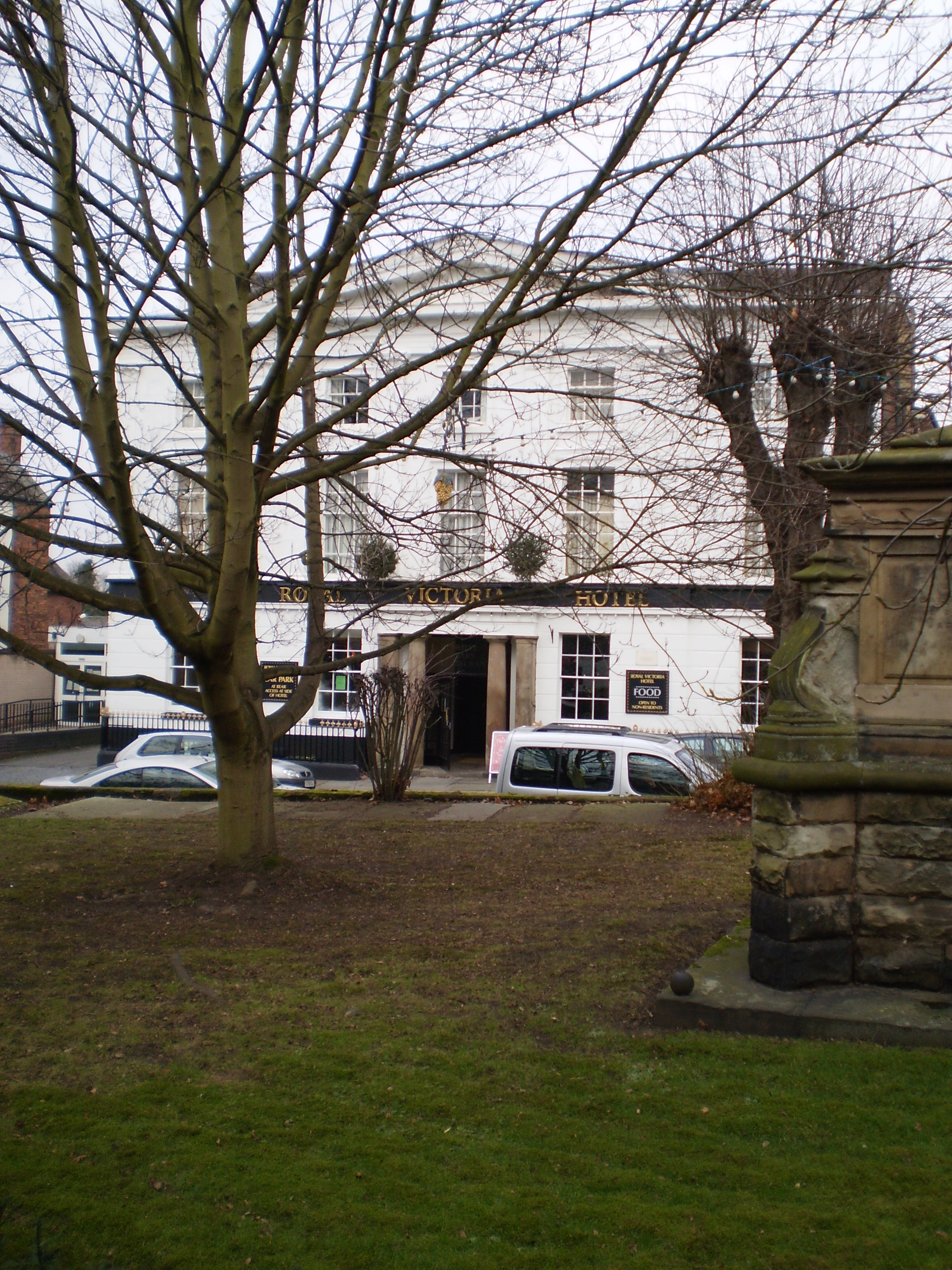
The Royal Victoria Hotel
The Royal Victoria Hotel is a former hotel situated in Newport, Shropshire. It dates back to 1830 and gains its name from Queen Victoria, who as Princess...
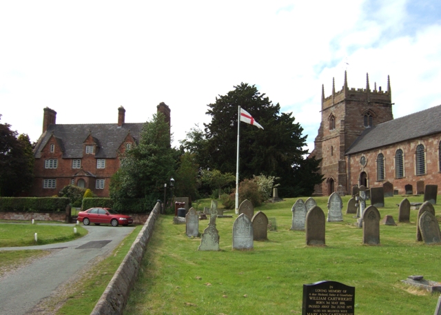
St Nicholas Church, Newport
St Nicholas's Church is an Anglican church in the market town of Newport, Shropshire, England lying within the Diocese of Lichfield. It is dedicated to...
Nearby Amenities
Located within 500m of 52.781508,-2.3504219Have you been to Mere Eye Covert?
Leave your review of Mere Eye Covert below (or comments, questions and feedback).