Clark's Plantation
Wood, Forest in Staffordshire Stafford
England
Clark's Plantation
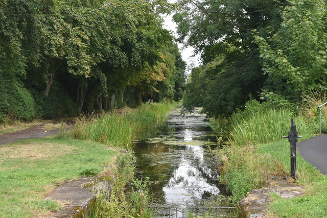
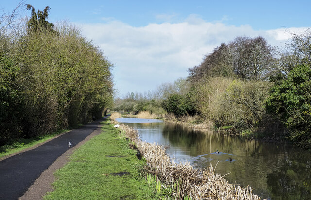
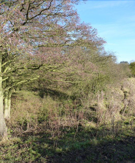
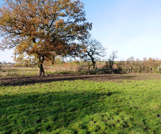
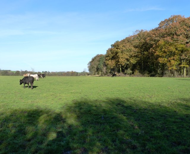
Clark's Plantation is a well-preserved woodland located in Staffordshire, England. Situated in the heart of the county, the plantation covers an area of approximately 100 acres. It is nestled amongst the picturesque landscape of Staffordshire's countryside, making it an attractive destination for nature enthusiasts and hikers.
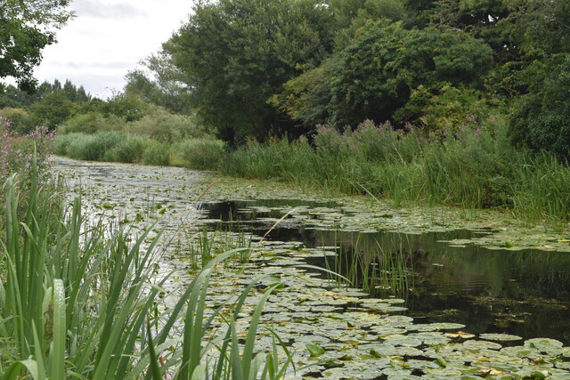
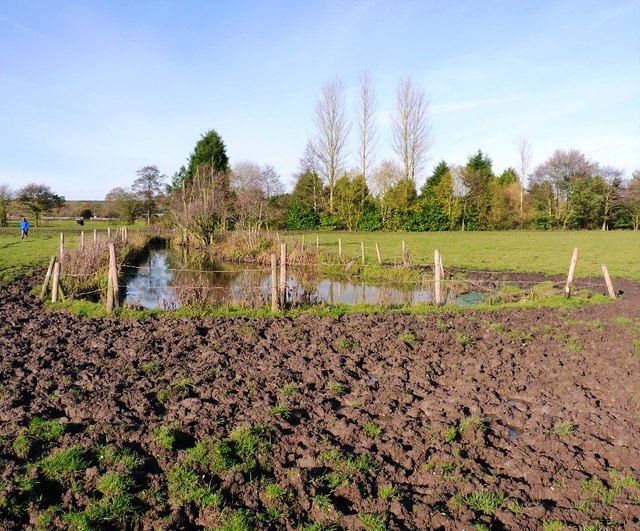
The plantation is known for its rich biodiversity and diverse range of flora and fauna. It is predominantly composed of deciduous trees, including oak, ash, and beech, which create a dense canopy, providing a habitat for various bird species and small mammals. The woodland floor is adorned with a vibrant carpet of bluebells and wildflowers during the spring season, adding to its charm.
Visitors to Clark's Plantation can enjoy a network of well-maintained walking trails that wind through the woodland. These trails offer a peaceful and tranquil setting, ideal for leisurely strolls or more vigorous hikes. Along the way, walkers can spot numerous bird species, such as woodpeckers and thrushes, and may even catch a glimpse of deer or foxes.
The plantation is managed by the local authorities, who ensure its conservation and protection. They have implemented measures to preserve the natural habitat and maintain the ecological balance within the woodland.
Clark's Plantation is easily accessible, with ample parking facilities available nearby. It offers a serene escape from the hustle and bustle of city life, providing visitors with an opportunity to connect with nature and experience the beauty of Staffordshire's countryside.
If you have any feedback on the listing, please let us know in the comments section below.
Clark's Plantation Images
Images are sourced within 2km of 52.780583/-2.3530979 or Grid Reference SJ7620. Thanks to Geograph Open Source API. All images are credited.


Clark's Plantation is located at Grid Ref: SJ7620 (Lat: 52.780583, Lng: -2.3530979)
Administrative County: Staffordshire
District: Stafford
Police Authority: Staffordshire
What 3 Words
///painting.ending.fattening. Near Newport, Shropshire
Nearby Locations
Related Wikis

Aqualate Mere
Aqualate Mere, in Staffordshire, is the largest natural lake in the English Midlands and is managed as a national nature reserve (NNR) by Natural England...

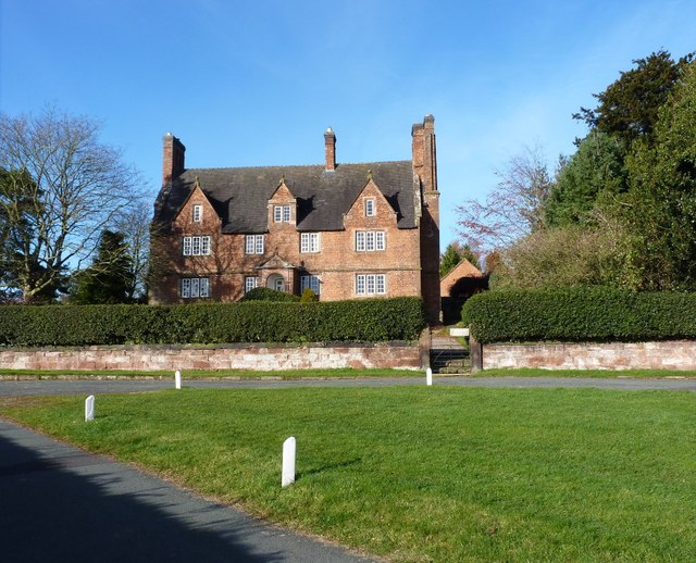
Forton Hall
Forton Hall is a 17th-century country house situated in the village of Forton, Staffordshire, close to the Shropshire border at Newport. It is a Grade...
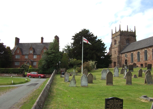
Forton, Staffordshire
Forton is a small village and civil parish in Staffordshire, England, situated east of the market town of Newport, Shropshire. The civil Parish population...

Aqualate Hall
Aqualate Hall, a 20th-century country house, is located in Forton, Staffordshire, England, some 2 miles (3.2 km) east of the market town of Newport, Shropshire...

Back Brook, English Midlands
The Back Brook is a minor watercourse in the English counties of Shropshire and Staffordshire, in places forming the boundary between the two, and located...

Old Town Hall, Newport
The Old Town Hall is a municipal building in St Mary Street, Newport, Shropshire, England. The structure, which is now divided into a series of shop units...
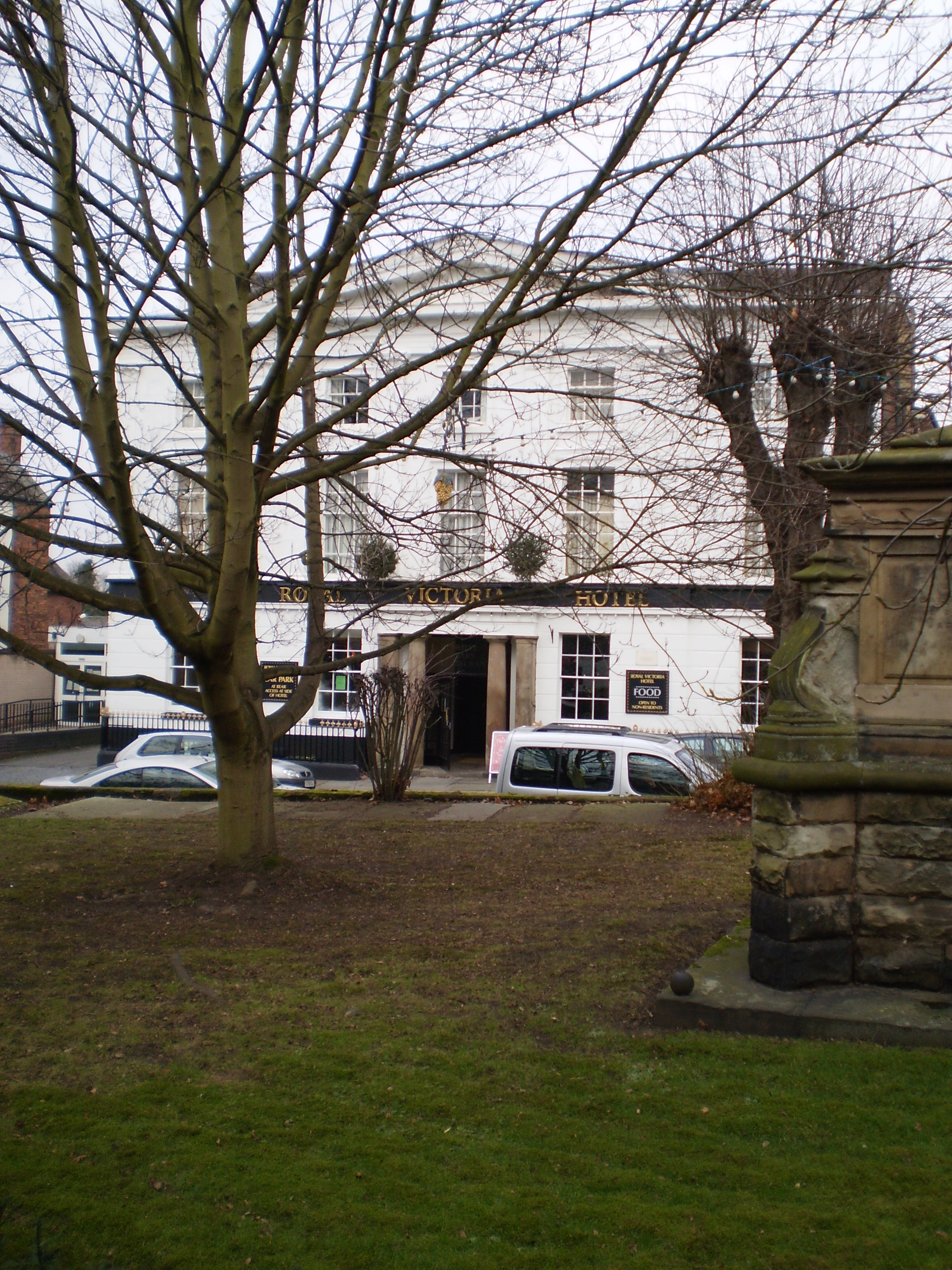
The Royal Victoria Hotel
The Royal Victoria Hotel is a former hotel situated in Newport, Shropshire. It dates back to 1830 and gains its name from Queen Victoria, who as Princess...
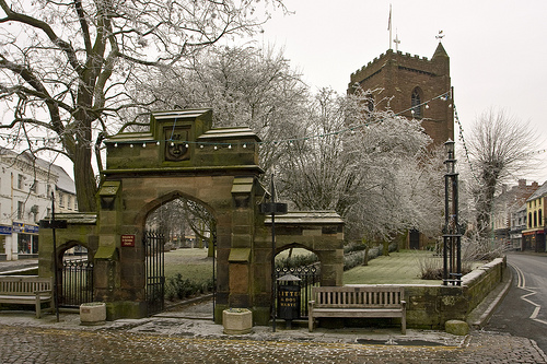
St Nicholas Church, Newport
St Nicholas's Church is an Anglican church in the market town of Newport, Shropshire, England lying within the Diocese of Lichfield. It is dedicated to...
Nearby Amenities
Located within 500m of 52.780583,-2.3530979Have you been to Clark's Plantation?
Leave your review of Clark's Plantation below (or comments, questions and feedback).