Cherrywell Wood
Wood, Forest in Somerset
England
Cherrywell Wood
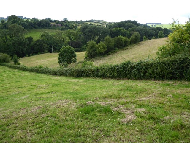
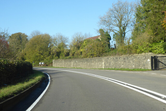
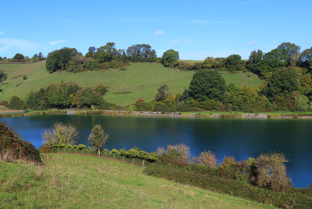
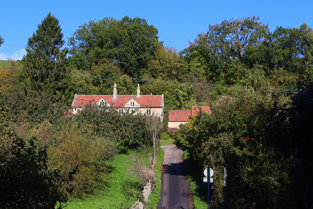
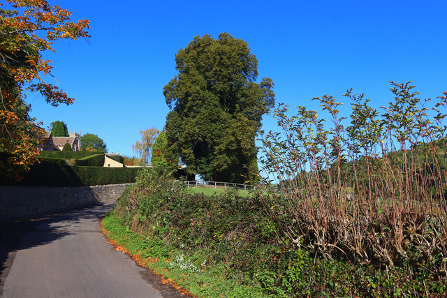
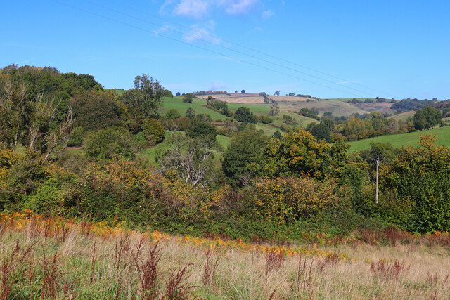
Cherrywell Wood is a picturesque woodland located in the county of Somerset, England. Spread across an area of approximately 100 acres, it is renowned for its natural beauty and tranquil environment. The wood is situated near the small village of Cherrywell, which adds to its charm and accessibility.
This woodland is predominantly composed of native broadleaf trees, including oak, beech, and ash. The dense canopy formed by these trees creates a shaded and cool atmosphere, making it a perfect retreat during the summer months. Additionally, the forest floor is adorned with a variety of wildflowers, adding to the vibrant and colorful ambiance.
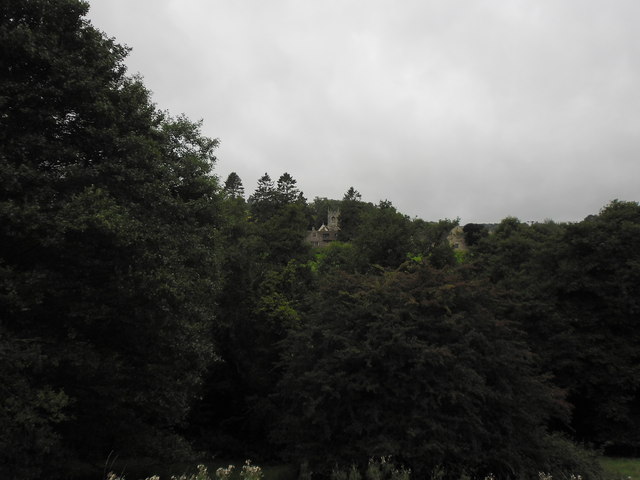
Cherrywell Wood offers several footpaths and trails that allow visitors to explore its splendor. These paths lead to hidden clearings, babbling brooks, and small ponds, providing opportunities for wildlife observation and nature photography. The wood is home to a diverse range of species, including birds, mammals, and insects, making it a haven for nature enthusiasts.
Throughout the year, Cherrywell Wood hosts various events and activities, such as guided nature walks and wildlife spotting sessions. These events aim to educate visitors about the local flora and fauna and promote conservation efforts.
Overall, Cherrywell Wood is a cherished natural gem in Somerset. Its idyllic setting, rich biodiversity, and engaging activities make it a popular destination for both locals and tourists seeking to connect with nature and explore the beauty of the English countryside.
If you have any feedback on the listing, please let us know in the comments section below.
Cherrywell Wood Images
Images are sourced within 2km of 51.421431/-2.3442144 or Grid Reference ST7669. Thanks to Geograph Open Source API. All images are credited.
Cherrywell Wood is located at Grid Ref: ST7669 (Lat: 51.421431, Lng: -2.3442144)
Unitary Authority: Bath and North East Somerset
Police Authority: Avon and Somerset
What 3 Words
///chemistry.cuddling.prove. Near Cold Ashton, Gloucestershire
Nearby Locations
Related Wikis

RAF Charmy Down
Royal Air Force Charmy Down or more simply RAF Charmy Down is a former Royal Air Force station in Somerset, England, approximately 3 miles (4.8 km) north...

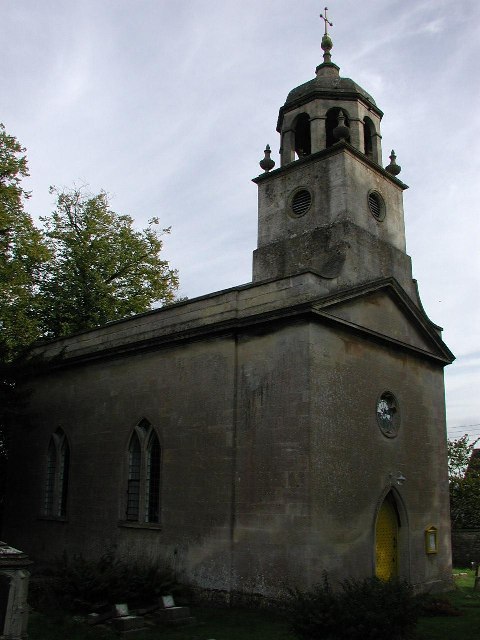
Church of St Mary, Swainswick
The Anglican Church of St Mary in Swainswick within the English county of Somerset dates from the 12th century. It is a Grade II* listed building.Vestiges...

Swainswick
Swainswick is a small village and civil parish, 3 miles (4.8 km) northeast of Bath, on the A46 in the Bath and North East Somerset unitary authority, Somerset...
All Saints Church, Woolley
All Saints Church at Woolley in the parish of Charlcombe, Somerset, England, dates from 1761 and was built by John Wood, the Younger replacing an earlier...

Solsbury Hill
Little Solsbury Hill (more commonly known as Solsbury Hill) is a small flat-topped hill and the site of an Iron Age hill fort, above the village of Batheaston...

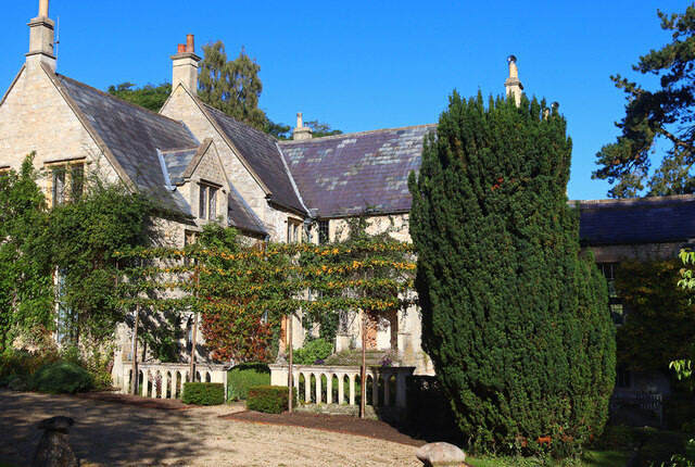
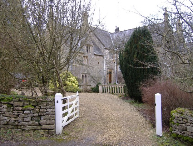
Ashcombe House, Somerset
Ashcombe House at Swainswick, north-east of Bath in Somerset, England is a Gothic revival country house. It is a Grade II listed building. Ashcombe House...

St Mary Magdalene's Church, Langridge
St Mary Magdalene's Church at Langridge in the parish of Charlcombe, Somerset, England dates from the 12th century and has been designated as a Grade I...
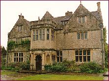
St Catherine's Court
St Catherine's Court is a manor house in a secluded valley north of Bath, Somerset, England. It is a Grade I listed property. The gardens are Grade II...
Nearby Amenities
Located within 500m of 51.421431,-2.3442144Have you been to Cherrywell Wood?
Leave your review of Cherrywell Wood below (or comments, questions and feedback).