Bailey's Wood
Wood, Forest in Somerset
England
Bailey's Wood
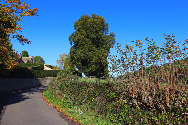
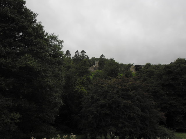
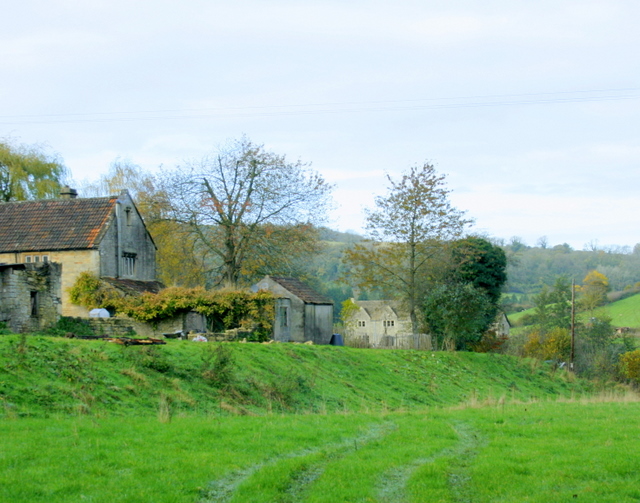
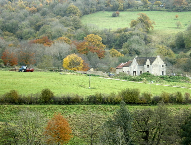
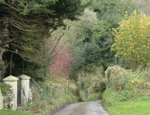
Bailey's Wood is a picturesque forest located in Somerset, England. Spanning approximately 50 acres, this woodland is known for its natural beauty and diverse ecosystem. Situated near the village of Bailey, the wood is a popular destination for nature enthusiasts, hikers, and wildlife lovers.
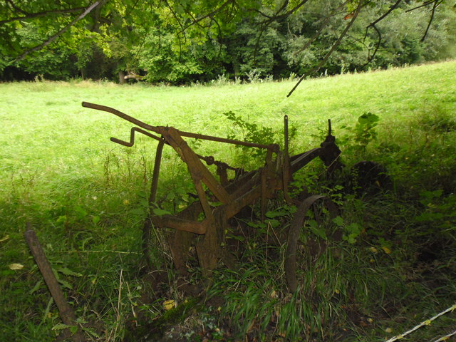
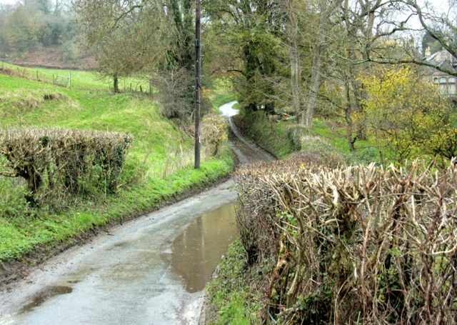
The wood offers a tranquil escape from the hustle and bustle of urban life, with its serene atmosphere and lush greenery. Visitors can explore the network of well-maintained trails that wind through the forest, providing an opportunity to immerse themselves in the natural surroundings. The trails range in difficulty, catering to both beginners and experienced hikers.
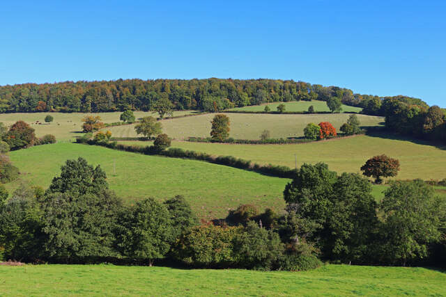
Bailey's Wood is home to a rich variety of flora and fauna, including oak, beech, and ash trees. These trees provide a habitat for various bird species, such as woodpeckers, owls, and thrushes. The forest floor is adorned with an array of wildflowers, creating a vibrant and enchanting landscape.
Nature enthusiasts can also spot a diverse range of wildlife in the wood, with sightings of deer, rabbits, and squirrels being common. The tranquil setting of the wood makes it an ideal spot for birdwatching and photography.
The wood is well-maintained by local authorities, ensuring its preservation and accessibility for the public. Facilities such as picnic areas and benches are scattered throughout the wood, allowing visitors to relax and soak in the natural beauty.
Overall, Bailey's Wood in Somerset is a haven for those seeking solace in nature. Its scenic trails, diverse flora and fauna, and peaceful ambience make it a must-visit destination for anyone looking to connect with the great outdoors.
If you have any feedback on the listing, please let us know in the comments section below.
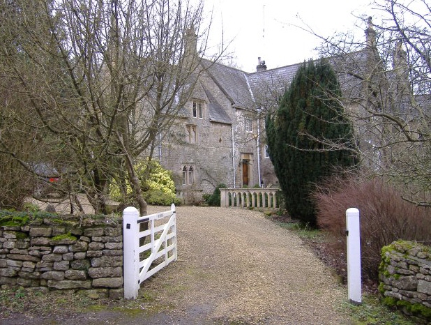
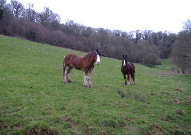
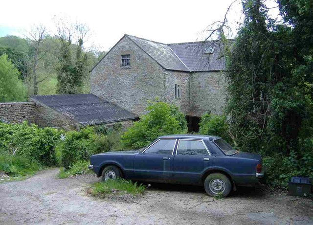
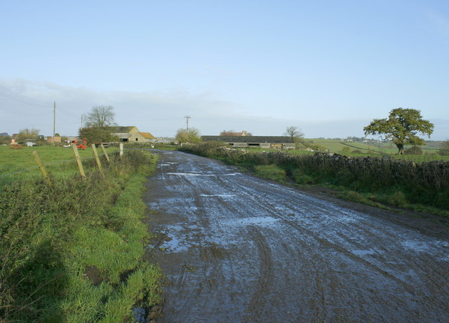
Bailey's Wood Images
Images are sourced within 2km of 51.421375/-2.332565 or Grid Reference ST7669. Thanks to Geograph Open Source API. All images are credited.

Bailey's Wood is located at Grid Ref: ST7669 (Lat: 51.421375, Lng: -2.332565)
Unitary Authority: Bath and North East Somerset
Police Authority: Avon and Somerset
What 3 Words
///stockpile.plea.waltzed. Near Bathford, Somerset
Nearby Locations
Related Wikis

Solsbury Hill
Little Solsbury Hill (more commonly known as Solsbury Hill) is a small flat-topped hill and the site of an Iron Age hill fort, above the village of Batheaston...
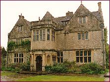
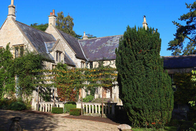
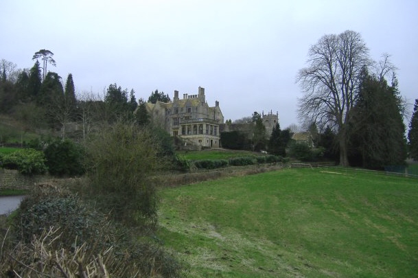
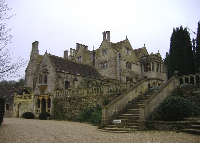
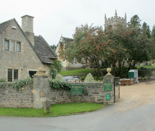
St Catherine's Court
St Catherine's Court is a manor house in a secluded valley north of Bath, Somerset, England. It is a Grade I listed property. The gardens are Grade II...

Eagle House (suffragette's rest)
Eagle House is a Grade II* listed building in Batheaston, Somerset, near Bath. Before World War I the house had extensive grounds. When Emily Blathwayt...
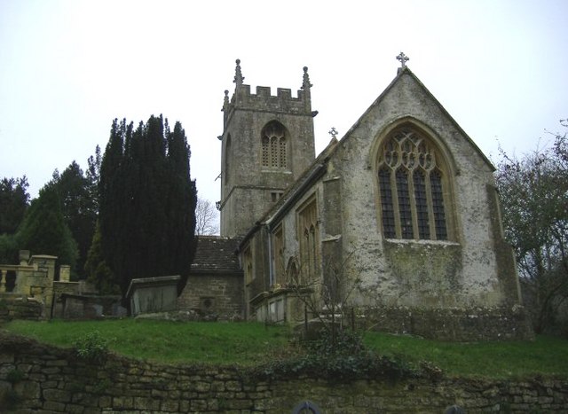
Church of St Catherine, St Catherine
The Church of St Catherine is an Anglican parish church in St Catherine, Somerset, England. It was built in the 12th century as a chapel of ease of Bath...

RAF Charmy Down
Royal Air Force Charmy Down or more simply RAF Charmy Down is a former Royal Air Force station in Somerset, England, approximately 3 miles (4.8 km) north...
St Catherine, Somerset
St Catherine is a small, but very spread out, rural village within the civil parish of Batheaston in Bath and North East Somerset and Marshfield Parish...

Church of St John The Baptist, Batheaston
The Church of St John the Baptist in Northend, Batheaston within the English county of Somerset was built in the 12th century and remodelled in the 15th...

Church of St Mary, Swainswick
The Anglican Church of St Mary in Swainswick within the English county of Somerset dates from the 12th century. It is a Grade II* listed building.Vestiges...
Related Videos

Somerset, Batheaston, Bath
Old photos of Batheaston Bath.


Nearby Amenities
Located within 500m of 51.421375,-2.332565Have you been to Bailey's Wood?
Leave your review of Bailey's Wood below (or comments, questions and feedback).