Charmy Down
Downs, Moorland in Somerset
England
Charmy Down
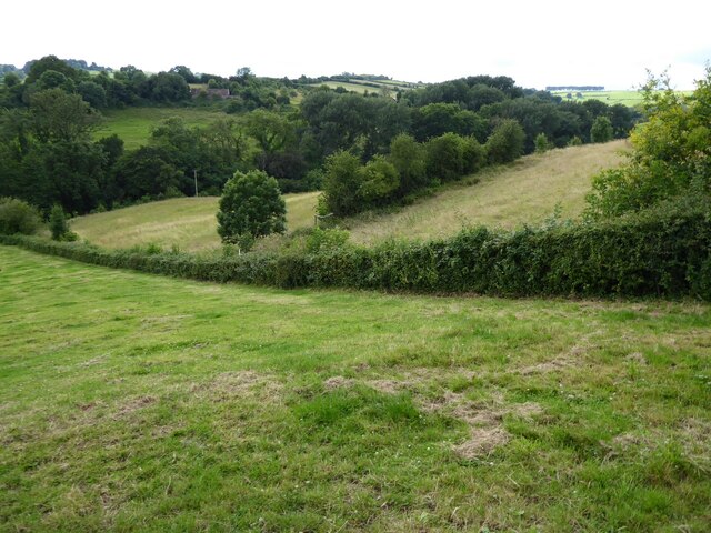
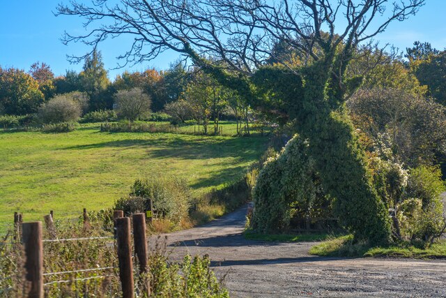
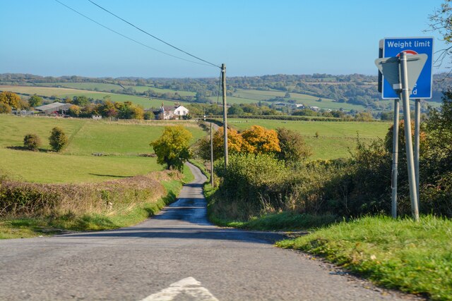
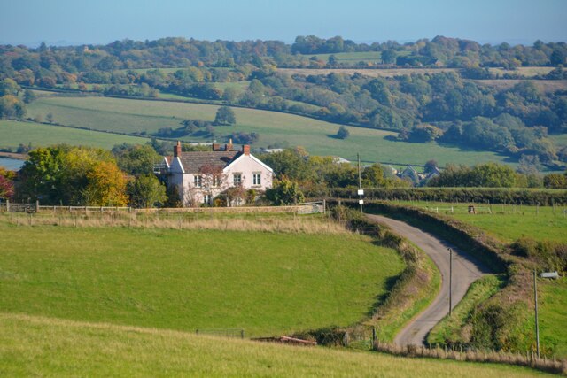
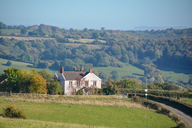
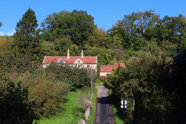
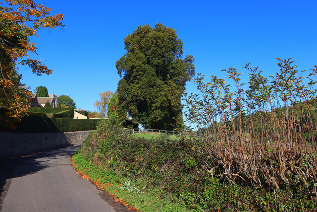
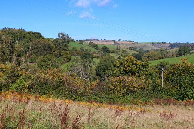
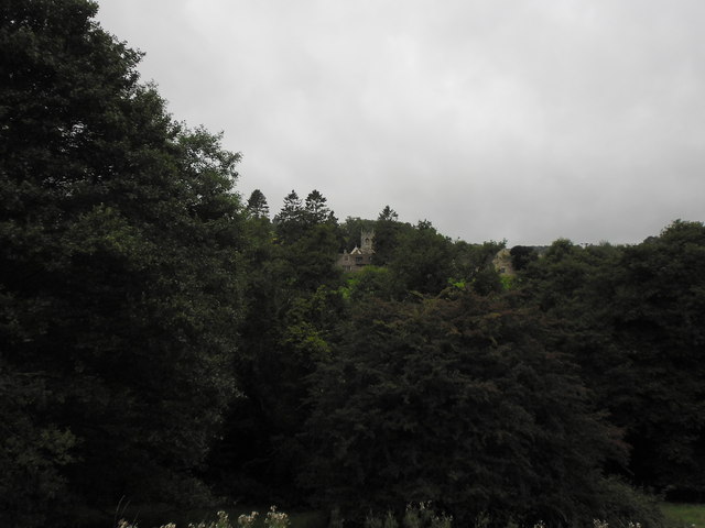
Charmy Down is a small village located in the county of Somerset, England. Situated on the southern edge of the Cotswolds, it is known for its picturesque countryside and charming rural atmosphere. The village is surrounded by rolling hills and lush green fields, offering stunning views of the Somerset Downs and Moorland.
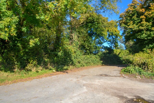
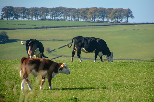
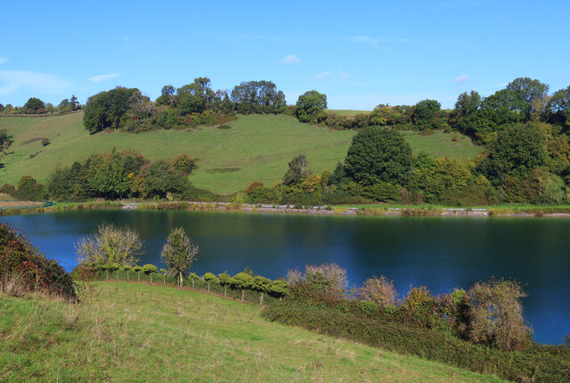
The area is renowned for its natural beauty and is a popular destination for outdoor enthusiasts. There are several walking trails and hiking routes that crisscross the countryside, allowing visitors to explore the stunning landscapes and enjoy the fresh air. Charmy Down is also home to a variety of wildlife, including deer, rabbits, and a wide range of bird species, making it a haven for nature lovers.
The village itself is small but quaint, with a handful of traditional stone houses and cottages. There is a local pub that serves delicious homemade meals and locally brewed ales, providing a cozy spot for residents and tourists to relax and socialize. The community in Charmy Down is tight-knit and friendly, creating a warm and welcoming atmosphere for visitors.
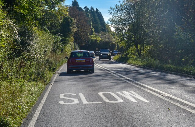
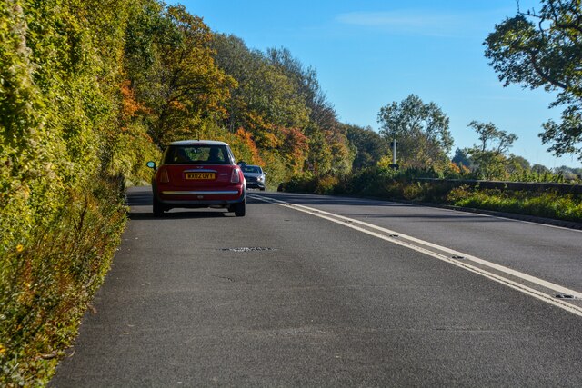
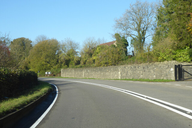
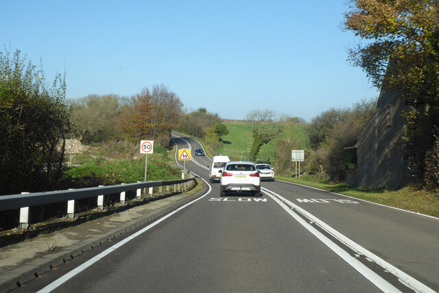
Although small, Charmy Down is conveniently located near larger towns and cities, such as Bath and Bristol, which offer a wider range of amenities and attractions. This makes it an ideal base for those looking to explore both the rural charms of Somerset and the cultural delights of the nearby urban centers.
If you have any feedback on the listing, please let us know in the comments section below.
Charmy Down Images
Images are sourced within 2km of 51.428253/-2.3451 or Grid Reference ST7669. Thanks to Geograph Open Source API. All images are credited.
Charmy Down is located at Grid Ref: ST7669 (Lat: 51.428253, Lng: -2.3451)
Unitary Authority: Bath and North East Somerset
Police Authority: Avon and Somerset
What 3 Words
///sideboard.lizards.bongo. Near Cold Ashton, Gloucestershire
Nearby Locations
Related Wikis

RAF Charmy Down
Royal Air Force Charmy Down or more simply RAF Charmy Down is a former Royal Air Force station in Somerset, England, approximately 3 miles (4.8 km) north...

Monkswood Valley
Monkswood Valley (grid reference ST754710) is a 30.7-hectare biological Site of Special Scientific Interest (SSSI) near the village of Cold Ashton, South...

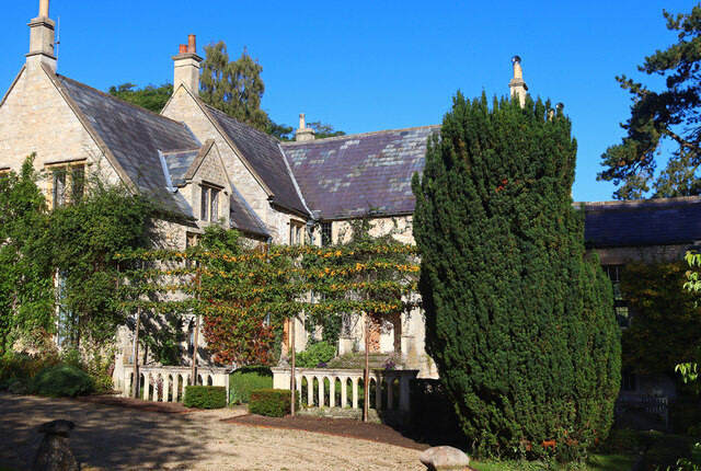
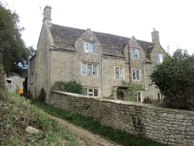
Ashcombe House, Somerset
Ashcombe House at Swainswick, north-east of Bath in Somerset, England is a Gothic revival country house. It is a Grade II listed building. Ashcombe House...

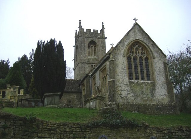
Church of St Mary, Swainswick
The Anglican Church of St Mary in Swainswick within the English county of Somerset dates from the 12th century. It is a Grade II* listed building.Vestiges...

St Mary Magdalene's Church, Langridge
St Mary Magdalene's Church at Langridge in the parish of Charlcombe, Somerset, England dates from the 12th century and has been designated as a Grade I...
Church of St Catherine, St Catherine
The Church of St Catherine is an Anglican parish church in St Catherine, Somerset, England. It was built in the 12th century as a chapel of ease of Bath...
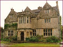
St Catherine's Court
St Catherine's Court is a manor house in a secluded valley north of Bath, Somerset, England. It is a Grade I listed property. The gardens are Grade II...
St Catherine, Somerset
St Catherine is a small, but very spread out, rural village within the civil parish of Batheaston in Bath and North East Somerset and Marshfield Parish...
Nearby Amenities
Located within 500m of 51.428253,-2.3451Have you been to Charmy Down?
Leave your review of Charmy Down below (or comments, questions and feedback).