Southfield Clump
Wood, Forest in Gloucestershire
England
Southfield Clump
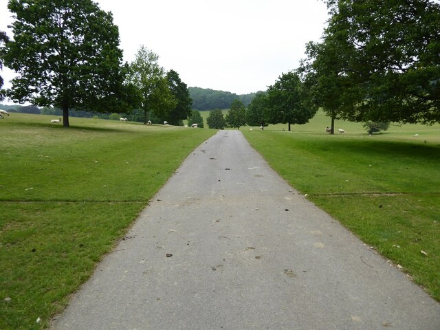
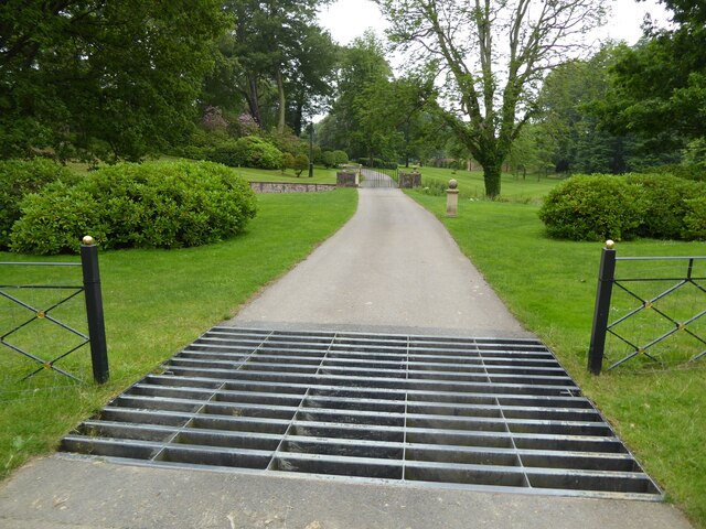
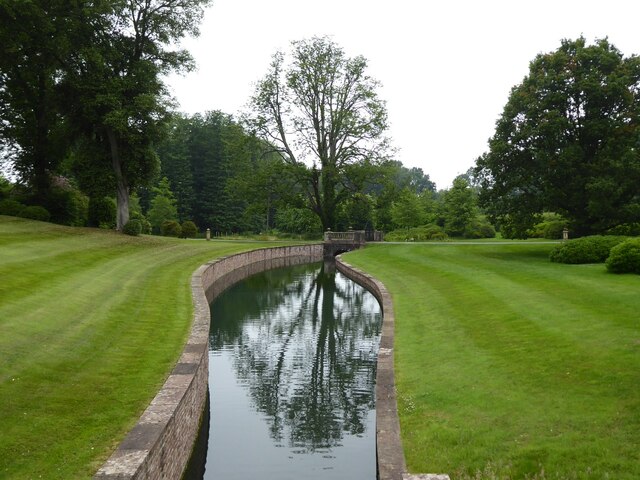
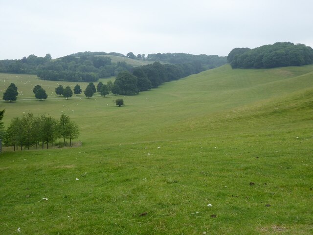
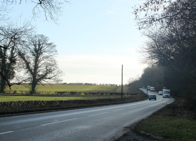
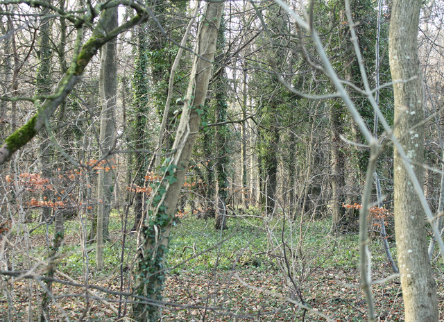
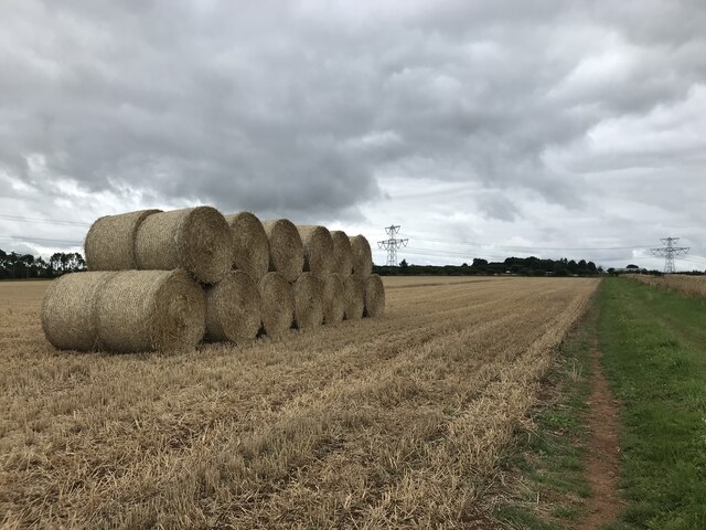
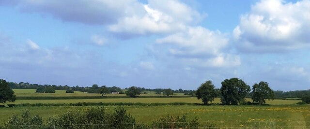
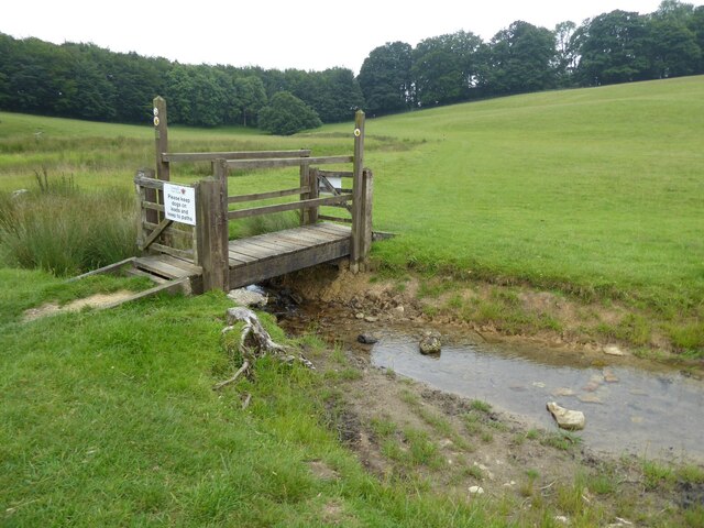
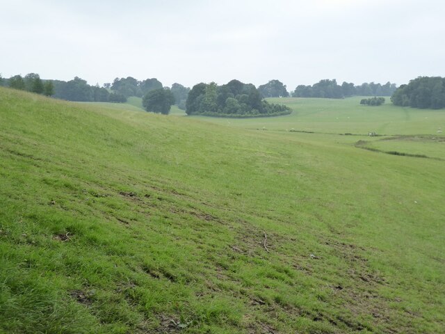
Southfield Clump is a picturesque woodland located in the county of Gloucestershire, England. Situated in the heart of the Forest of Dean, it is a popular destination for nature enthusiasts and outdoor adventurers. Spanning approximately 20 acres, this dense forest offers a tranquil and serene environment, providing an escape from the hustle and bustle of urban life.
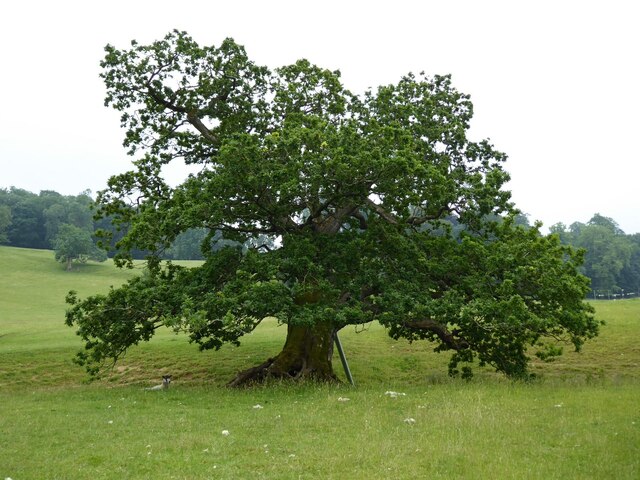
The woodland is predominantly composed of oak and beech trees, creating a rich and diverse ecosystem. The towering trees provide a dense canopy, allowing only dappled sunlight to filter through, creating a unique and enchanting atmosphere. The forest floor is covered with a thick carpet of ferns, moss, and wildflowers, adding to its natural beauty.
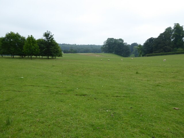
Southfield Clump is a haven for wildlife, with a variety of bird species, including woodpeckers and owls, making it their home. The woodland is also home to a range of mammals, such as deer, foxes, and badgers, which can often be spotted roaming the forest during the quieter hours of the day.
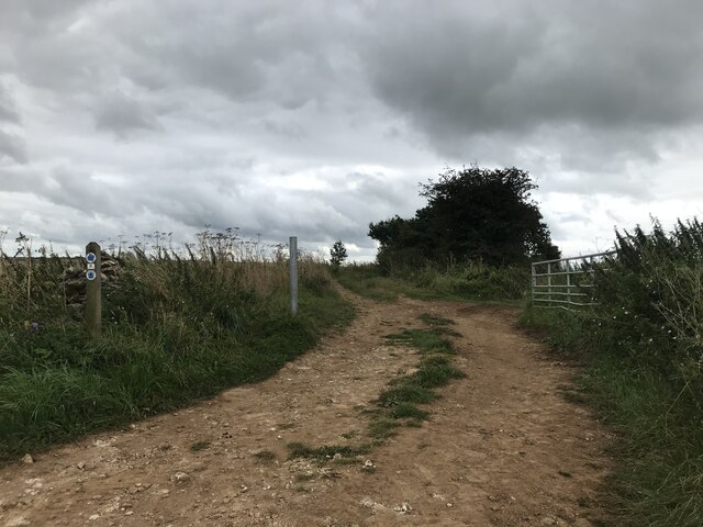
The forest offers numerous walking trails, allowing visitors to explore its hidden gems and discover its natural wonders. A popular trail leads to a viewpoint, offering panoramic vistas of the surrounding countryside. This spot is particularly breathtaking during the autumn months when the forest transforms into a kaleidoscope of vibrant colors.
Southfield Clump is a cherished natural gem in Gloucestershire, providing a peaceful retreat for those seeking solace in nature. Whether it's a leisurely stroll, birdwatching, or simply enjoying the tranquility, this woodland offers a memorable experience for all who venture into its depths.
If you have any feedback on the listing, please let us know in the comments section below.
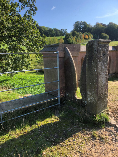
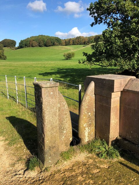
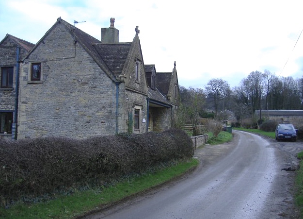
Southfield Clump Images
Images are sourced within 2km of 51.505242/-2.3591242 or Grid Reference ST7578. Thanks to Geograph Open Source API. All images are credited.
Southfield Clump is located at Grid Ref: ST7578 (Lat: 51.505242, Lng: -2.3591242)
Unitary Authority: South Gloucestershire
Police Authority: Avon and Somerset
What 3 Words
///club.torch.blend. Near Hinton, Gloucestershire
Nearby Locations
Related Wikis
Dodington Park
Dodington Park is a country house and estate in Dodington, South Gloucestershire, England. The house was built by James Wyatt for Christopher Bethell Codrington...

Dodington, Gloucestershire
Dodington is a village and civil parish in South Gloucestershire, England. The village lies in a small, fertile valley between Codrington and Old Sodbury...

Tormarton
Tormarton is a village in South Gloucestershire, England. Its name may come from Thor Maer Tun meaning The settlement with the thorn (tree) on the boundary...

Battle of Deorham
The Battle of Deorham (or Dyrham) is portrayed by the Anglo-Saxon Chronicle as an important military encounter between the West Saxons and the Britons...
Dyrham
Dyrham is a village and parish in South Gloucestershire, England. == Location and communications == Dyrham is at lat. 51° 29' north, long. 2° 22' west...

Codrington, Gloucestershire
Codrington is a settlement in South Gloucestershire, England. It is located near Junction 18 of the M4 motorway south of Wapley and Yate. Codrington is...

Hinton, South Gloucestershire
Hinton is a village in South Gloucestershire, England. It is one mile north of Dyrham and forms part of the civil parish of Dyrham and Hinton. The Bull...

Dyrham Park
Dyrham Park () is a baroque English country house in an ancient deer park near the village of Dyrham in South Gloucestershire, England. The house, with...
Have you been to Southfield Clump?
Leave your review of Southfield Clump below (or comments, questions and feedback).