Boxbush Wood

Wood, Forest in Gloucestershire

England

Boxbush Wood

Stone Stile, Dodington Near Combe's End, in Dodington Park, where Gloucestershire footpaths LSO/68 & LDO/13 meet. This is looking South, the view North is <a href="https://www.geograph.org.uk/photo/7206819">ST7580 : Stone Stile, Dodington</a>.
Stone Stile, Dodington Credit: Fay Britton

Boxbush Wood is a serene and enchanting woodland located in Gloucestershire, England. Covering an area of approximately 30 hectares, this captivating forest is a haven of natural beauty and tranquility.

The wood is predominantly composed of mature broad-leaved trees, such as oak, beech, and ash, providing a lush and vibrant canopy that filters the sunlight, creating an enchanting play of light and shadow on the forest floor. The dense undergrowth is teeming with a diverse array of flora, including bluebells, wild garlic, and wood anemones, which carpet the forest floor with a burst of colors during the spring months.

Boxbush Wood is home to a variety of wildlife, making it an ideal destination for nature enthusiasts and photographers. Visitors may spot deer gracefully roaming through the trees, squirrels darting among the branches, and a rich assortment of bird species, including woodpeckers and owls.

The wood is crisscrossed by a network of well-maintained footpaths, allowing visitors to explore its hidden gems and immerse themselves in the natural beauty. These paths wind through ancient trees and lead to open glades, providing idyllic spots for picnics or quiet contemplation.

Boxbush Wood holds great historical significance, as it is believed to have been part of the ancient Forest of Dean. Remnants of charcoal platforms and mining pits can still be found within the wood, reflecting its past as a thriving industry hub.

Overall, Boxbush Wood offers a captivating blend of natural splendor, wildlife diversity, and historical charm, making it a must-visit destination for those seeking a peaceful retreat in the heart of Gloucestershire.

If you have any feedback on the listing, please let us know in the comments section below.
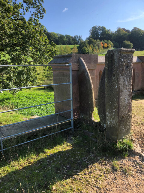
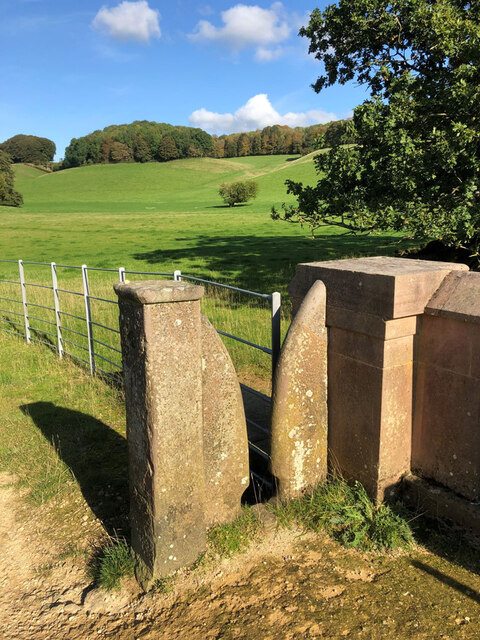
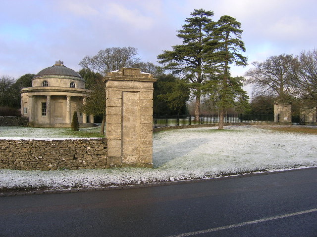
Boxbush Wood Images

Images are sourced within 2km of 51.50578/-2.350498 or Grid Reference ST7578. Thanks to Geograph Open Source API. All images are credited.

Stone Stile, Dodington Near Combe's End, in Dodington Park, where Gloucestershire footpaths LSO/68 & LDO/13 meet. This is looking South, the view North is <a href="https://www.geograph.org.uk/photo/7206819">ST7580 : Stone Stile, Dodington</a>.
Stone Stile, Dodington
Near Combe's End, in Dodington Park, where Gloucestershire footpaths LSO/68 & LDO/13 meet. This is looking South, the view North is ST7580 : Stone Stile, Dodington.
Stone Stile, Dodington Near Combe's End, in Dodington Park, where Gloucestershire footpaths LSO/68 & LDO/13 meet. This is looking North, the view South is <a href="https://www.geograph.org.uk/photo/7206812">ST7580 : Stone Stile, Dodington</a>.
Stone Stile, Dodington
Near Combe's End, in Dodington Park, where Gloucestershire footpaths LSO/68 & LDO/13 meet. This is looking North, the view South is ST7580 : Stone Stile, Dodington.
Twin bridges over the M4, Tormarton
M4 east  From the A46 Bath Road
M4 east
From the A46 Bath Road
Advertisement in a field A business advert over a field wall near the A46-M4 interchange.
Advertisement in a field
A business advert over a field wall near the A46-M4 interchange.
Stone Stile, Tormarton Off road on A46 to Bath next to a Milestone on Gloucestershire footpaths LTO/11 & LTO/12 part of the Macmillan Way. It is opposite a stile leading on to James Dyson's estate, & Doddington Wood. Looking NE, the alternative view looking NW <a href="https://www.geograph.org.uk/photo/7205209">ST7679 : Stone Stile, Tormarton</a>.
Stone Stile, Tormarton
Off road on A46 to Bath next to a Milestone on Gloucestershire footpaths LTO/11 & LTO/12 part of the Macmillan Way. It is opposite a stile leading on to James Dyson's estate, & Doddington Wood. Looking NE, the alternative view looking NW ST7679 : Stone Stile, Tormarton.
Stone Stile, Tormarton Off road on A46 to Bath next to a Milestone on Gloucestershire footpaths LTO/11 & LTO/12 part of the Macmillan Way. It is opposite a stile leading on to James Dyson's estate, & Doddington Wood. Looking NW, the alternative view looking NE <a href="https://www.geograph.org.uk/photo/7205188">ST7679 : Stone Stile, Tormarton</a>.
Stone Stile, Tormarton
Off road on A46 to Bath next to a Milestone on Gloucestershire footpaths LTO/11 & LTO/12 part of the Macmillan Way. It is opposite a stile leading on to James Dyson's estate, & Doddington Wood. Looking NW, the alternative view looking NE ST7679 : Stone Stile, Tormarton.
Stone Stile, Tormarton Looking SE on Gloucestershire footpath LTO/10, Cotswold Way. The view looking from the road is <a href="https://www.geograph.org.uk/photo/7205925">ST7678 : Stone Stile, Tormarton</a>.
Stone Stile, Tormarton
Looking SE on Gloucestershire footpath LTO/10, Cotswold Way. The view looking from the road is ST7678 : Stone Stile, Tormarton.
Stone Stile, Tormarton Looking NW on Gloucestershire footpath LTO/10, Cotswold Way. The view looking to the road is <a href="https://www.geograph.org.uk/photo/7205923">ST7678 : Stone Stile, Tormarton</a>.
Stone Stile, Tormarton
Looking NW on Gloucestershire footpath LTO/10, Cotswold Way. The view looking to the road is ST7678 : Stone Stile, Tormarton.
Stone Stile, Tormarton Looking SE to Old Hundred Lane from Gloucestershire footpath LTO/10. The view from the road is <a href="https://www.geograph.org.uk/photo/7205925">ST7678 : Stone Stile, Tormarton</a>.
Stone Stile, Tormarton
Looking SE to Old Hundred Lane from Gloucestershire footpath LTO/10. The view from the road is ST7678 : Stone Stile, Tormarton.
Stone Stile, Tormarton Looking NW from Old Hundred Lane to Gloucestershire footpath LTO/10. The view to the road is <a href="https://www.geograph.org.uk/photo/7205951">ST7678 : Stone Stile, Tormarton</a>.
Stone Stile, Tormarton
Looking NW from Old Hundred Lane to Gloucestershire footpath LTO/10. The view to the road is ST7678 : Stone Stile, Tormarton.
Stone Stile, Tormarton Looking SE on Gloucestershire footpath LTO/9 from the East side of Old Hundred Lane. The view looking to the road is <a href="https://www.geograph.org.uk/photo/7205962">ST7678 : Stone Stile, Tormarton</a>.
Stone Stile, Tormarton
Looking SE on Gloucestershire footpath LTO/9 from the East side of Old Hundred Lane. The view looking to the road is ST7678 : Stone Stile, Tormarton.
Stone Stile, Tormarton Looking NW on Gloucestershire footpath LTO/9 on the East side of Old Hundred Lane. The view looking from the road is <a href="https://www.geograph.org.uk/photo/7205960">ST7678 : Stone Stile, Tormarton</a>. The stile on the other side is <a href="https://www.geograph.org.uk/photo/7205952">ST7678 : Stone Stile, Tormarton</a>.
Stone Stile, Tormarton
Looking NW on Gloucestershire footpath LTO/9 on the East side of Old Hundred Lane. The view looking from the road is ST7678 : Stone Stile, Tormarton. The stile on the other side is ST7678 : Stone Stile, Tormarton.
Stone Stile, Tormarton Looking North from  Gloucestershire footpath LTO/14 to LTO/15. The view South from field is <a href="https://www.geograph.org.uk/photo/7205979">ST7678 : Stone Stile, Tormarton</a>.
Stone Stile, Tormarton
Looking North from Gloucestershire footpath LTO/14 to LTO/15. The view South from field is ST7678 : Stone Stile, Tormarton.
Stone Stile, Tormarton Looking South from  Gloucestershire footpath LTO/15 to LTO/14. The view North from LTO/14 is <a href="https://www.geograph.org.uk/photo/7205976">ST7678 : Stone Stile, Tormarton</a>.
Stone Stile, Tormarton
Looking South from Gloucestershire footpath LTO/15 to LTO/14. The view North from LTO/14 is ST7678 : Stone Stile, Tormarton.
Stone Stile, Tormarton Looking East on Gloucestershire footpaths LTO/14 & LTO/16 to a field. The view looking back is <a href="https://www.geograph.org.uk/photo/7206018">ST7678 : Stone Stile, Tormarton</a>.
Stone Stile, Tormarton
Looking East on Gloucestershire footpaths LTO/14 & LTO/16 to a field. The view looking back is ST7678 : Stone Stile, Tormarton.
Stone Stile, Tormarton Looking West on Gloucestershire footpath LTO/16 to LTO/14. The view looking East is <a href="https://www.geograph.org.uk/photo/7206013">ST7678 : Stone Stile, Tormarton</a>.
Stone Stile, Tormarton
Looking West on Gloucestershire footpath LTO/16 to LTO/14. The view looking East is ST7678 : Stone Stile, Tormarton.
Stone Stile, Tormarton Looking South on Gloucestershire footpath LTO/14 to Norley Lane. The view from the road is <a href="https://www.geograph.org.uk/photo/7206168">ST7678 : Stone Stile, Tormarton</a>.
Stone Stile, Tormarton
Looking South on Gloucestershire footpath LTO/14 to Norley Lane. The view from the road is ST7678 : Stone Stile, Tormarton.
Show me another place!

Boxbush Wood is located at Grid Ref: ST7578 (Lat: 51.50578, Lng: -2.350498)

Unitary Authority: South Gloucestershire

Police Authority: Avon and Somerset

What 3 Words

///lifts.clubs.meant. Near Hinton, Gloucestershire

Related Wikis

Tormarton

Tormarton is a village in South Gloucestershire, England. Its name may come from Thor Maer Tun meaning The settlement with the thorn (tree) on the boundary...

Dodington Park

Dodington Park is a country house and estate in Dodington, South Gloucestershire, England. The house was built by James Wyatt for Christopher Bethell Codrington...

Dodington, Gloucestershire

Dodington is a village and civil parish in South Gloucestershire, England. The village lies in a small, fertile valley between Codrington and Old Sodbury...

Battle of Deorham

The Battle of Deorham (or Dyrham) is portrayed by the Anglo-Saxon Chronicle as an important military encounter between the West Saxons and the Britons...

Nearby Amenities

Located within 500m of 51.50578,-2.350498
Traffic Signals
Lat/Long: 51.5027937/-2.349445
Traffic Signals
Lat/Long: 51.5047042/-2.3485617
Traffic Signals
Lat/Long: 51.5013995/-2.3489631
Traffic Signals
Lat/Long: 51.5026972/-2.34957
Traffic Signals
Lat/Long: 51.5024201/-2.3507423
Traffic Signals
Lat/Long: 51.5023337/-2.3505685
Rest Area
Lat/Long: 51.5061498/-2.347303
Power: pole
Lat/Long: 51.507569/-2.3450552
Power: pole
Lat/Long: 51.5068301/-2.3460187
Man Made: utility_pole
Material: wood
Operator: Openreach
Utility: telecom
Lat/Long: 51.5047467/-2.3483854
Material: wood
Power: pole
Lat/Long: 51.5047379/-2.3482474
Power: pole
Lat/Long: 51.5060789/-2.3470104
Man Made: utility_pole
Operator: Openreach
Utility: telecom
Lat/Long: 51.5046404/-2.3489778
Man Made: utility_pole
Material: wood
Lat/Long: 51.5049146/-2.3475868
Material: wood
Power: pole
Lat/Long: 51.5033754/-2.3492425
Power: pole
Lat/Long: 51.5042214/-2.3487364
Natural: shrub
Lat/Long: 51.5047766/-2.3495869
Natural: shrub
Lat/Long: 51.5048309/-2.3495601
Natural: shrub
Lat/Long: 51.5048793/-2.3495963
Natural: shrub
Lat/Long: 51.5049035/-2.3496366
Natural: shrub
Lat/Long: 51.5049094/-2.3497063
Natural: shrub
Lat/Long: 51.5048952/-2.3497908
Natural: shrub
Lat/Long: 51.5048418/-2.3498444
The data included in this document is from www.openstreetmap.org. The data is made available under ODbL.

Have you been to Boxbush Wood?

Leave your review of Boxbush Wood below (or comments, questions and feedback).