Brownsills Wood

Wood, Forest in Lancashire Hyndburn

England

Brownsills Wood

Empress Garage
Empress Garage Credit: Anthony Parkes

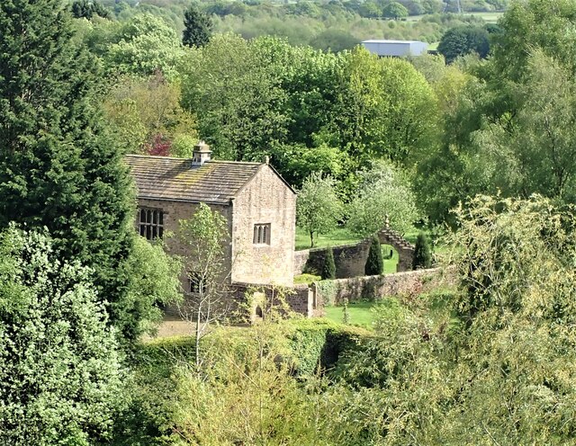
Brownsills Wood is a picturesque woodland located in Lancashire, England. Covering an area of approximately 100 acres, it is a popular destination for nature lovers and outdoor enthusiasts. The wood is situated near the town of Chorley and offers a tranquil escape from the hustle and bustle of city life.

The woodland is characterized by its diverse range of tree species, including oak, birch, and beech. These towering trees create a dense canopy, providing a shaded and cool environment even during the summer months. The forest floor is covered in a thick layer of moss and ferns, adding to its enchanting and mystical atmosphere.

Brownsills Wood is home to a variety of wildlife, making it an important habitat for conservation. Visitors may spot deer, squirrels, and a rich variety of bird species, including owls and woodpeckers. The wood is also known for its vibrant wildflower displays in the spring, with bluebells and primroses creating a colorful carpet under the trees.

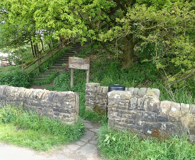
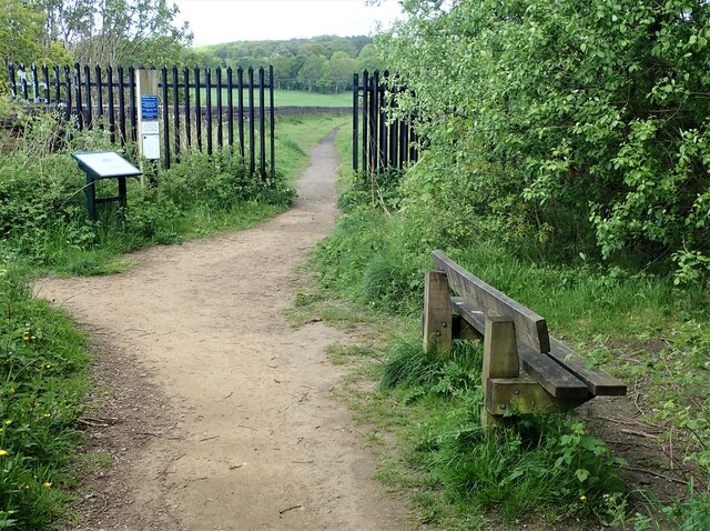
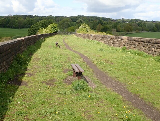
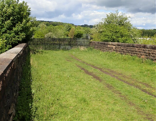
The wood is crisscrossed by a network of walking trails, allowing visitors to explore its natural beauty at their own pace. These paths lead to secluded glades, babbling brooks, and hidden ponds, providing a sense of discovery and adventure.

Brownsills Wood is managed by the local council, who have implemented measures to protect and preserve its unique ecosystem. The wood is open to the public year-round, with no admission fee, making it accessible to all. Whether visitors are seeking a peaceful stroll, a spot of birdwatching, or simply a moment of tranquility in nature, Brownsills Wood offers a captivating and rejuvenating experience.

If you have any feedback on the listing, please let us know in the comments section below.

Brownsills Wood Images

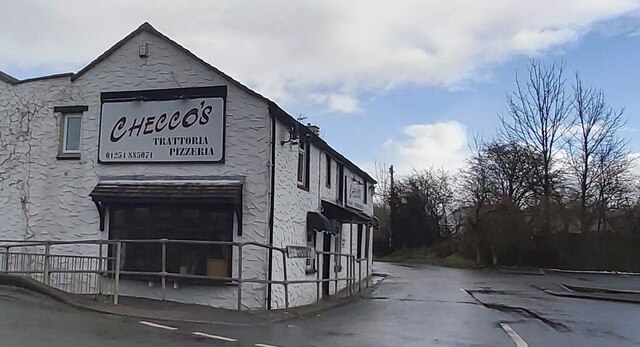
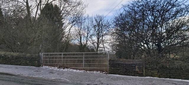
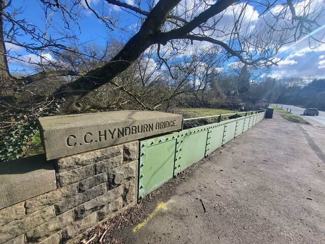
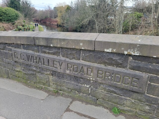
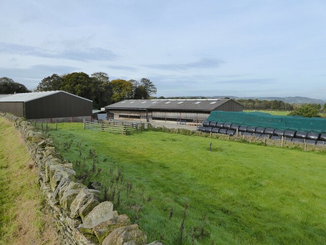
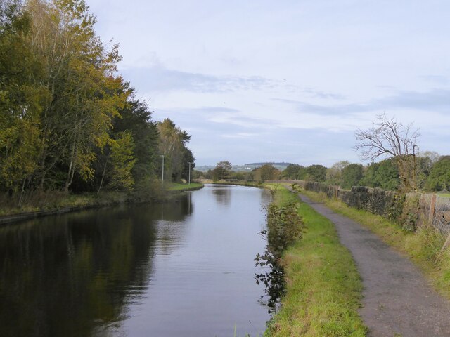
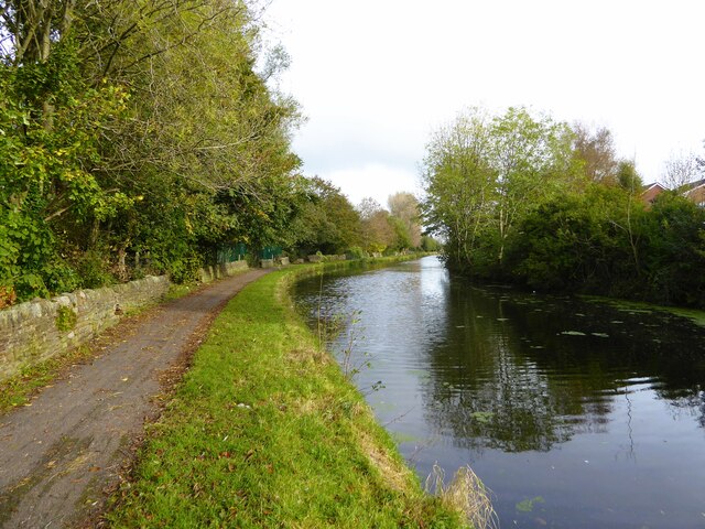
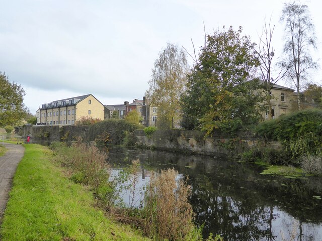
Images are sourced within 2km of 53.787088/-2.3784233 or Grid Reference SD7532. Thanks to Geograph Open Source API. All images are credited.

Empress Garage
Empress Garage
Checco's Pizzeria
Checco's Pizzeria
Gated Track near Hyndburn Bridge
Old Bridge Marker on the A680 Whalley Road Bridge Marker inscribed in the capstone of the north pier of Hyndburn Bridge, Hyndburn Brook, on the east side of the A680 Whalley Road. On the boundary of Great Harwood and Clayton le Moors parishes until 1974 when both were abolished. REBUILT 1930 in inscribed on the capstone of the south pier on the east side of the road.

Milestone Society National ID: LA_GHACLM01br
Old Bridge Marker on the A680 Whalley Road
Bridge Marker inscribed in the capstone of the north pier of Hyndburn Bridge, Hyndburn Brook, on the east side of the A680 Whalley Road. On the boundary of Great Harwood and Clayton le Moors parishes until 1974 when both were abolished. REBUILT 1930 in inscribed on the capstone of the south pier on the east side of the road. Milestone Society National ID: LA_GHACLM01br
Old Bridge Marker on the A680 Whalley Road Bridge Marker inscribed on two stones in the parapet of Whalley Road Bridge, Leeds and Liverpool Canal, on the east side of the A680 Whalley Road. In Clayton le Moors parish until 1974 when it was abolished.

Milestone Society National ID: LA_CLAYLM01br
Old Bridge Marker on the A680 Whalley Road
Bridge Marker inscribed on two stones in the parapet of Whalley Road Bridge, Leeds and Liverpool Canal, on the east side of the A680 Whalley Road. In Clayton le Moors parish until 1974 when it was abolished. Milestone Society National ID: LA_CLAYLM01br
Gateway for steps leading to Viaduct The gateway leading to the 74 steps providing access from Martholme Lane up to the Viaduct and Martholme Greenway.
Gateway for steps leading to Viaduct
The gateway leading to the 74 steps providing access from Martholme Lane up to the Viaduct and Martholme Greenway.
Access to Martholme Viaduct The barrier with gateway providing access to Martholme Viaduct from Martholme Greenway. The path leading off on the left leads to the 74 steps going down to Martholme Lane.
Access to Martholme Viaduct
The barrier with gateway providing access to Martholme Viaduct from Martholme Greenway. The path leading off on the left leads to the 74 steps going down to Martholme Lane.
Wooden Benches on Martholme Viaduct The benches on the path over Martholme Viaduct. Access beyond the viaduct has been closed off see closer view here - <a title="https://www.geograph.org.uk/photo/7483819" href="https://www.geograph.org.uk/photo/7483819">Link</a>
Wooden Benches on Martholme Viaduct
The benches on the path over Martholme Viaduct. Access beyond the viaduct has been closed off see closer view here - Link
End of Access from Martholme Viaduct A closer view of the barrier erected at the end of the path leading over Martholme Viaduct towards Read and Simmonstone.
End of Access from Martholme Viaduct
A closer view of the barrier erected at the end of the path leading over Martholme Viaduct towards Read and Simmonstone.
Martholme Gatehouse and outer archway Martholme manor house dates from the 13th century when the house belonged to the de Fitton family. It was passed through marriage to the Hesketh family and re-built in 1577 during the reign of Queen Elizabeth I. During that time the Lords of the Manor would carry out their own code of justice on local law breakers and this was dispensed at the Gatehouse. The Gatehouse can be seen in the picture with the Outer Archway which was added in 1607. The remaining buildings are located off to the left and obscured by trees.
Manor House - <span class="nowrap"><a title="https://redrosecollections.lancashire.gov.uk/view-item?i=274760&WINID=1690967778154" rel="nofollow ugc noopener" href="https://redrosecollections.lancashire.gov.uk/view-item?i=274760&WINID=1690967778154">Link</a><img style="margin-left:2px;" alt="External link" title="External link - shift click to open in new window" src="https://s1.geograph.org.uk/img/external.png" width="10" height="10"/></span>
Martholme Gatehouse and outer archway
Martholme manor house dates from the 13th century when the house belonged to the de Fitton family. It was passed through marriage to the Hesketh family and re-built in 1577 during the reign of Queen Elizabeth I. During that time the Lords of the Manor would carry out their own code of justice on local law breakers and this was dispensed at the Gatehouse. The Gatehouse can be seen in the picture with the Outer Archway which was added in 1607. The remaining buildings are located off to the left and obscured by trees. Manor House - LinkExternal link
Leeds & Liverpool Canal The Leeds & Liverpool Canal at Enfield.
Leeds & Liverpool Canal
The Leeds & Liverpool Canal at Enfield.
Old Milestone by the A680, Rodger Hey Farm, Great Harwood parish Carved stone post by the A680, in parish of GREAT HARWOOD (HYNDBURN District), North of Rodger Hey, by the road, on West side of road. Lancs CC stone triangle, erected by the County Council in the 19th/20th century. 

Inscription reads:-
: WHALLEY / 2 MILES / CLITHEROE / 6 MILES : : GREAT / HARWOOD : : ACCRINGTON / 3 MILES : 

Milestone Society National ID: LA_CLAC06.
Old Milestone by the A680, Rodger Hey Farm, Great Harwood parish
Carved stone post by the A680, in parish of GREAT HARWOOD (HYNDBURN District), North of Rodger Hey, by the road, on West side of road. Lancs CC stone triangle, erected by the County Council in the 19th/20th century. Inscription reads:- : WHALLEY / 2 MILES / CLITHEROE / 6 MILES : : GREAT / HARWOOD : : ACCRINGTON / 3 MILES : Milestone Society National ID: LA_CLAC06.
Derelict swing bridge No.116 On the Leeds and Liverpool Canal at Lower Clough Bank, this bridge referred to as Smiths swing bridge, needs at least a new deck.
Derelict swing bridge No.116
On the Leeds and Liverpool Canal at Lower Clough Bank, this bridge referred to as Smiths swing bridge, needs at least a new deck.
Livestock Barn At Moorside Farm with plenty of winter feed adjacent
Livestock Barn
At Moorside Farm with plenty of winter feed adjacent
Leeds and Liverpool Canal Just after passing Pilkington Canal Bridge. The towpath now has competition from an illuminated housing estate path that follows the other bank.
Leeds and Liverpool Canal
Just after passing Pilkington Canal Bridge. The towpath now has competition from an illuminated housing estate path that follows the other bank.
Leeds and Liverpool Canal The towpath is approaching some green security fencing that comes down to the canal from the local school.
Leeds and Liverpool Canal
The towpath is approaching some green security fencing that comes down to the canal from the local school.
Leeds and Liverpool Canal Approaching Whalley Road Bridge with some old mill walling on the bank opposite the towpath
Leeds and Liverpool Canal
Approaching Whalley Road Bridge with some old mill walling on the bank opposite the towpath
Modern housing estate On Bold Venture Way near the boundary with Altham
Modern housing estate
On Bold Venture Way near the boundary with Altham
Show me another place!

Brownsills Wood is located at Grid Ref: SD7532 (Lat: 53.787088, Lng: -2.3784233)

Administrative County: Lancashire

District: Hyndburn

Police Authority: Lancashire

What 3 Words

///factor.scenes.items. Near Great Harwood, Lancashire

Nearby Locations

Brownsills Wood

Related Wikis

Hyndburn Brook

Hyndburn Brook is a minor river in eastern Lancashire. It is approximately 4.5 miles (7.3 km) long, and has the catchment area (not including the River...

A678 road

The A678 is a road in Lancashire, England, which runs between the towns of Blackburn and Padiham. The road was formerly the main route between Blackburn...

Oakenshaw, Lancashire

Oakenshaw is part of Clayton-le-Moors in Lancashire, England. Thomas de Clayton was the first grantee of Oakenshaw in the middle of the 11th-century. A...

Great Harwood railway station

Great Harwood railway station was located in the south east side of Great Harwood, Lancashire, England on Station Road, which still remains. The station...

Nearby Amenities

Located within 500m of 53.787088,-2.3784233
Traffic Signals
Lat/Long: 53.7875709/-2.3846639
Turning Circle
Lat/Long: 53.7843091/-2.3841433
Power: tower
Source: OS 1:25k
Lat/Long: 53.7881267/-2.3720544
Bus Stop
Bus: yes
Public Transport: platform
Lat/Long: 53.7865935/-2.3844672
Bus Stop
Bus: yes
Public Transport: platform
Lat/Long: 53.786565/-2.3842848
Power: tower
Lat/Long: 53.7854424/-2.3829812
Power: tower
Lat/Long: 53.7888919/-2.3738517
Power: tower
Lat/Long: 53.7882105/-2.3786797
Power: tower
Lat/Long: 53.7876654/-2.3824509
Power: tower
Lat/Long: 53.78705/-2.3762739
Power: tower
Lat/Long: 53.7863867/-2.3787712
Generator Method: photovoltaic
Generator Output Electricity: yes
Generator Source: solar
Generator Type: solar_photovoltaic_panel
Location: roof
Power: generator
Lat/Long: 53.7844356/-2.3838018
Pipeline: valve
Lat/Long: 53.7906993/-2.3782828
Pipeline: manhole
Lat/Long: 53.7875619/-2.3741388
Turning Circle
Lat/Long: 53.7842031/-2.3841216
Addr Housenumber: 15
Addr Street: Water Street
Lat/Long: 53.7864003/-2.3853908
Addr Housenumber: 1
Addr Street: Whalley Road
Lat/Long: 53.7856774/-2.3836842
Generator Method: photovoltaic
Generator Output Electricity: yes
Generator Source: solar
Generator Type: solar_photovoltaic_panel
Location: roof
Power: generator
Source: survey
Lat/Long: 53.7857642/-2.3837592
Addr Housenumber: 7
Addr Street: Whalley Road
Lat/Long: 53.785932/-2.3843617
The data included in this document is from www.openstreetmap.org. The data is made available under ODbL.

Have you been to Brownsills Wood?

Leave your review of Brownsills Wood below (or comments, questions and feedback).