No Man's Land

Wood, Forest in Shropshire

England

No Man's Land

Button Bridge Lane near Coppicegate For a closer view of the postbox, please see:- <a href="https://www.geograph.org.uk/photo/2439906">SO7380 : Modern post mounted postbox at Coppicegate</a>.
Button Bridge Lane near Coppicegate Credit: P L Chadwick

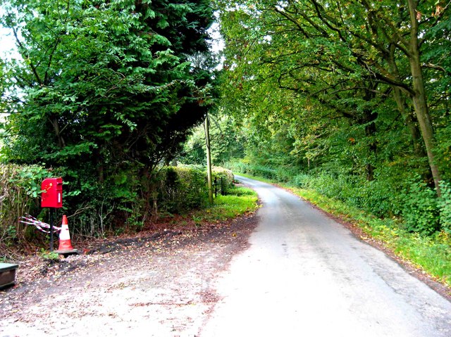
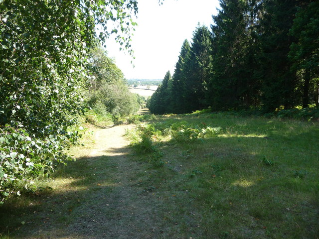
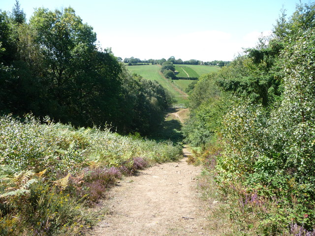
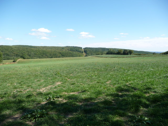
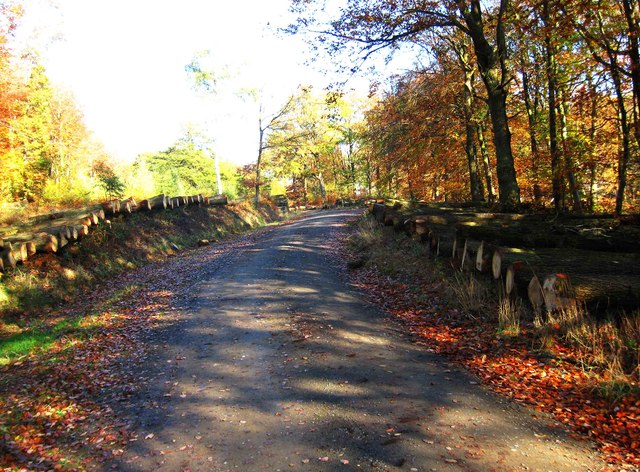
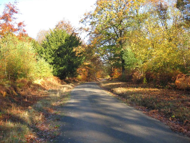
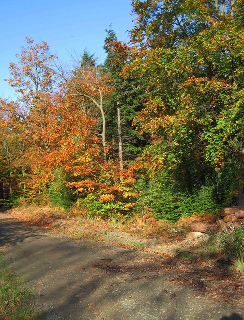
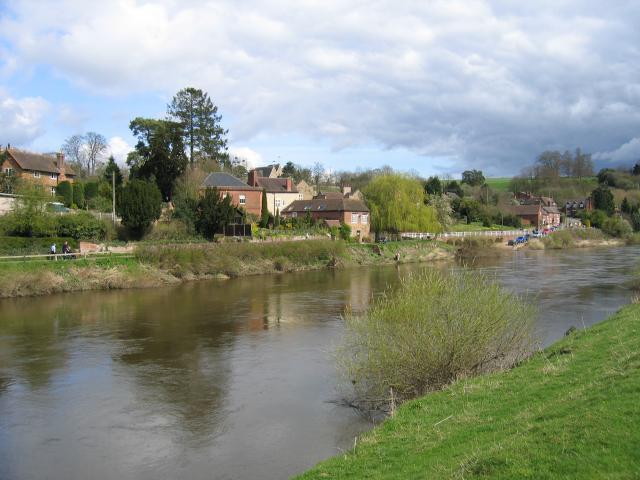
No Man's Land in Shropshire is a woodland area located in the western part of England. It encompasses an expansive forest, known for its natural beauty and serene environment. The name "No Man's Land" refers to the historical association with an unclaimed territory between England and Wales, where jurisdictional boundaries were unclear. Today, it has become a popular destination for nature enthusiasts and walkers alike.

The woodland is primarily made up of dense deciduous trees, including oak, beech, and birch, which provide a vibrant canopy during the warmer months and a stunning display of autumnal colors in the fall. The forest floor is covered in a rich carpet of moss, ferns, and wildflowers, adding to the area's overall charm.

No Man's Land offers an extensive network of well-maintained footpaths and trails, allowing visitors to explore its picturesque surroundings at their own pace. The diverse range of wildlife found here includes various bird species, such as woodpeckers and thrushes, as well as deer, foxes, and badgers.

The tranquil atmosphere of No Man's Land makes it an ideal location for outdoor activities like picnicking, birdwatching, and photography. The absence of urbanization and light pollution also makes it a fantastic spot for stargazing, with the night sky offering a mesmerizing spectacle.

Whether you are seeking a peaceful retreat or an opportunity to connect with nature, No Man's Land in Shropshire provides a haven of natural beauty and tranquility that is sure to captivate visitors of all ages.

If you have any feedback on the listing, please let us know in the comments section below.

No Man's Land Images

Images are sourced within 2km of 52.402547/-2.3722792 or Grid Reference SO7478. Thanks to Geograph Open Source API. All images are credited.

Button Bridge Lane near Coppicegate For a closer view of the postbox, please see:- <a href="https://www.geograph.org.uk/photo/2439906">SO7380 : Modern post mounted postbox at Coppicegate</a>.
Button Bridge Lane near Coppicegate
For a closer view of the postbox, please see:- SO7380 : Modern post mounted postbox at Coppicegate.
Pony Paddock, Arley A pony paddock with woodland behind close to the River Severn, Arley. Photograph taken from the railway embankment.
Pony Paddock, Arley
A pony paddock with woodland behind close to the River Severn, Arley. Photograph taken from the railway embankment.
River Severn near Arley Viewed from the railway line crossing Victoria Bridge, this is the River Severn flowing south near Arley
River Severn near Arley
Viewed from the railway line crossing Victoria Bridge, this is the River Severn flowing south near Arley
Coppicegate Farm Holiday homes
River Severn at Arley Between Trimpley and Arley, the Severn heads south towards Bewdley
River Severn at Arley
Between Trimpley and Arley, the Severn heads south towards Bewdley
The Meadows, Arley House and barn conversion in the Severn Valley, seen from the railway line.
The Meadows, Arley
House and barn conversion in the Severn Valley, seen from the railway line.
House on the B4194 at Button Bridge Lane
Cottage at Pound Green A handsome cottage in a lovely setting.
Cottage at Pound Green
A handsome cottage in a lovely setting.
Footpath in the Wyre Forest near Buttonoak The footpath here follows a fire break in the woodland but which may well actually be the route of the Elan Valley pipeline carrying water to Brum. Anyway, it is steep!
Footpath in the Wyre Forest near Buttonoak
The footpath here follows a fire break in the woodland but which may well actually be the route of the Elan Valley pipeline carrying water to Brum. Anyway, it is steep!
Footpath in the Wyre Forest Looking westwards.
Footpath in the Wyre Forest
Looking westwards.
The Elan Valley pipeline in the Wyre Forest The break in the plantation shows the line of the water pipeline from near Winwoods Farm.
The Elan Valley pipeline in the Wyre Forest
The break in the plantation shows the line of the water pipeline from near Winwoods Farm.
Forestry track in the Wyre Forest, off the B4194 road The track is opposite the start of the forestry road to the Postensplain area of the forest. The forest was showing its autumnal colours on this sunny day in early November.
Forestry track in the Wyre Forest, off the B4194 road
The track is opposite the start of the forestry road to the Postensplain area of the forest. The forest was showing its autumnal colours on this sunny day in early November.
Trees in Wyre Forest in autumnal colours A sunny day in early November reveals the trees in their autumnal colours.
Trees in Wyre Forest in autumnal colours
A sunny day in early November reveals the trees in their autumnal colours.
Forestry road in the Wyre Forest in autumn This forestry road leads off the B4194 road. In early November the adjacent trees were in their autumnal colours.
Forestry road in the Wyre Forest in autumn
This forestry road leads off the B4194 road. In early November the adjacent trees were in their autumnal colours.
Logs ready for auction in the Wyre Forest The logs on both sides of this forestry road have been divided into lots, ready to be sold by auction.
Logs ready for auction in the Wyre Forest
The logs on both sides of this forestry road have been divided into lots, ready to be sold by auction.
Forestry road in the Wyre Forest in autumn On a sunny day in early November, the autumnal colours were much in evidence.
Forestry road in the Wyre Forest in autumn
On a sunny day in early November, the autumnal colours were much in evidence.
Trees in Wyre Forest in autumnal colours Photographed in early November on a sunny day.
Trees in Wyre Forest in autumnal colours
Photographed in early November on a sunny day.
Forestry building in the Wyre Forest There is a lot of forestry work currently going on in this part of the forest. This building has only appeared during the last couple of years.
Forestry building in the Wyre Forest
There is a lot of forestry work currently going on in this part of the forest. This building has only appeared during the last couple of years.
Show me another place!

No Man's Land is located at Grid Ref: SO7478 (Lat: 52.402547, Lng: -2.3722792)

Unitary Authority: Shropshire

Police Authority: West Mercia

What 3 Words

///retained.tabs.shade. Near Bewdley, Worcestershire
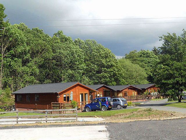
Related Wikis

Button Oak

Button Oak is a small village in the English county of Shropshire, England. It is 3 miles north west of Bewdley. Button Oak is very similar to nearby...

Pound Green

Pound Green is a hamlet in Upper Arley, Worcestershire, England. It has a number of tourist landmarks such as Ye Olde New Inn and a village hall that also...
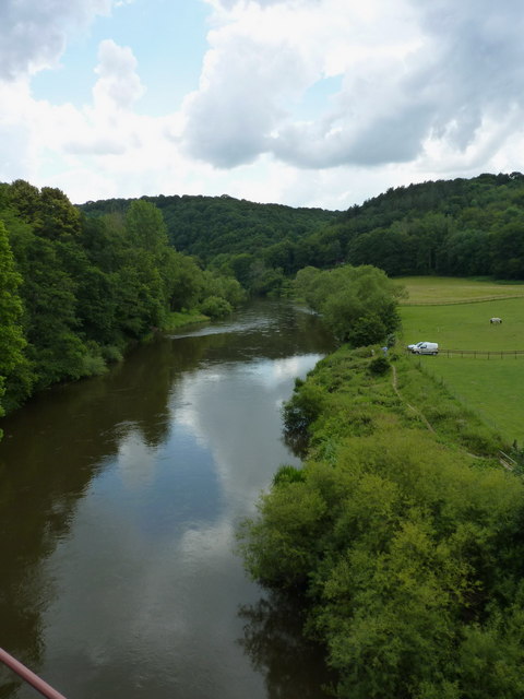
Wyre Forest

Wyre Forest is a large, semi-natural (partially unmanaged) woodland and forest measuring 26.34 square kilometres (10.17 sq mi) which straddles the borders...

Coppicegate

Coppicegate is a small settlement in Shropshire, England. It is beside the Wyre Forest and is 10 kilometres (6 mi) northwest of Kidderminster. == External... ==

Victoria Bridge, Worcestershire

The Victoria Bridge crosses the River Severn between Arley and Bewdley in Worcestershire, England. At the time of its construction, the 200-foot railway...

Knowles Mill

Knowles Mill is the remains of an eighteenth-century water-powered grain mill, located in the Wyre Forest in Worcestershire, England. The mill has been...

Arley railway station

Arley railway station is a station on the Severn Valley Railway heritage line in Worcestershire, situated just over the River Severn from the village of...
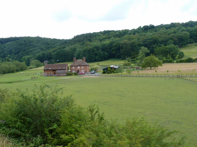
Upper Arley

Upper Arley (grid reference SO765805) is a village and civil parish near Kidderminster in the Wyre Forest District of Worcestershire, England. Historically...

Nearby Amenities

Located within 500m of 52.402547,-2.3722792
Parking
Lat/Long: 52.4020201/-2.374215
Pub
The Button Oak Inn
Addr City: Bewdley
Addr Country: GB
Addr Hamlet: Kinlet
Addr Postcode: DY12 3AQ
Addr Street: Buttonoak
Fhrs Authority: Shropshire
Fhrs Id: 1132422
Fhrs Local Authority Id: 18/00435/COMM
Operator: Banks's
Lat/Long: 52.3997694/-2.3667423
The data included in this document is from www.openstreetmap.org. The data is made available under ODbL.

Have you been to No Man's Land?

Leave your review of No Man's Land below (or comments, questions and feedback).