Kemberton Gorse

Wood, Forest in Shropshire

England

Kemberton Gorse

Enclosed footpath Approaching Kemberton on the Monarch’s Way long distance footpath
Enclosed footpath Credit: John Sparshatt

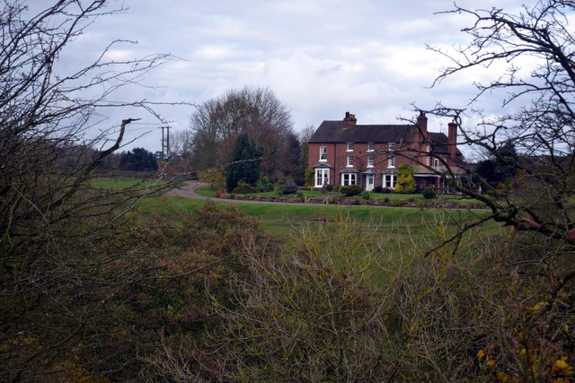
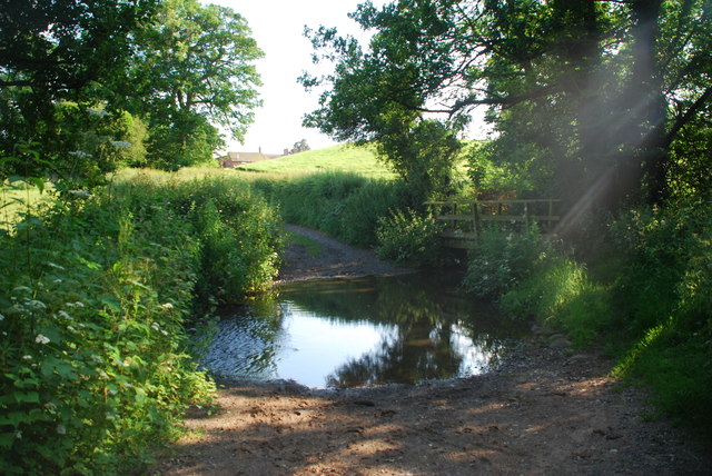
Kemberton Gorse is a picturesque wood located in the county of Shropshire, England. Situated near the village of Kemberton, this forested area covers approximately 50 acres of land. The gorse refers to the abundant growth of the yellow-flowered shrub, Ulex europaeus, which is a characteristic feature of the area.

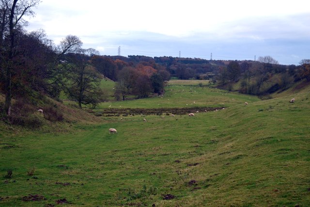
The wood is primarily composed of native broadleaf trees, including oak, ash, and birch, which create a dense canopy overhead. These trees provide a habitat for a wide variety of wildlife, including birds, mammals, and insects. Visitors to Kemberton Gorse may have the opportunity to spot species such as woodpeckers, squirrels, and butterflies as they explore the tranquil forest.

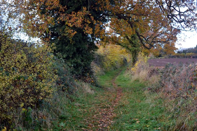
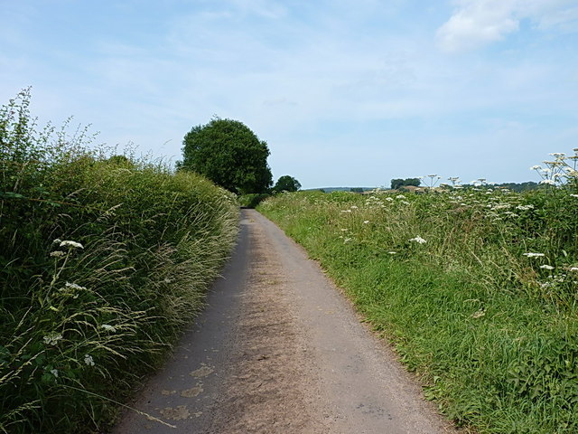
The wood is crisscrossed by a network of footpaths, allowing visitors to easily explore its natural beauty. This makes Kemberton Gorse a popular destination for walkers, hikers, and nature enthusiasts. The paths wind through the wood, offering glimpses of sun-dappled glades and peaceful clearings.

In addition to its natural beauty, Kemberton Gorse also holds historical significance. The wood contains remnants of an ancient boundary bank, which is believed to have once marked the boundary between two medieval estates. This provides a fascinating insight into the area's past and adds to the charm of the wood.

Overall, Kemberton Gorse in Shropshire offers visitors a chance to immerse themselves in the tranquility of nature. With its diverse wildlife, well-maintained footpaths, and historical features, it is a gem for those seeking to escape the hustle and bustle of everyday life.

If you have any feedback on the listing, please let us know in the comments section below.

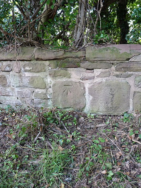
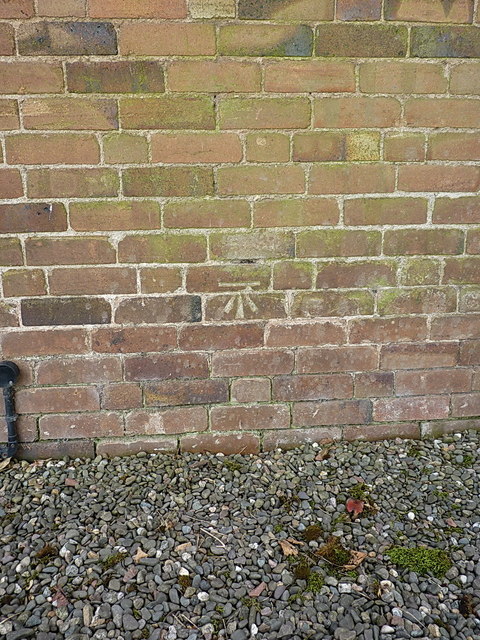
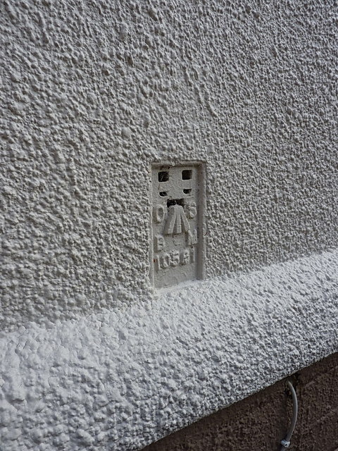
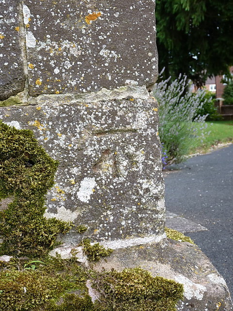
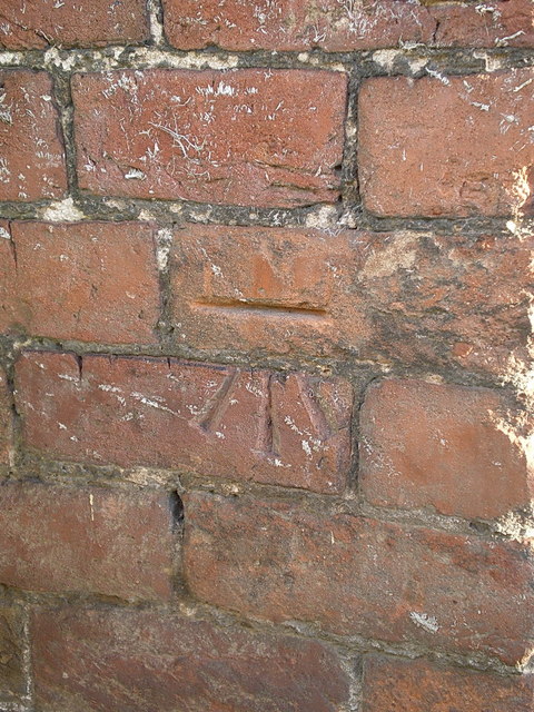
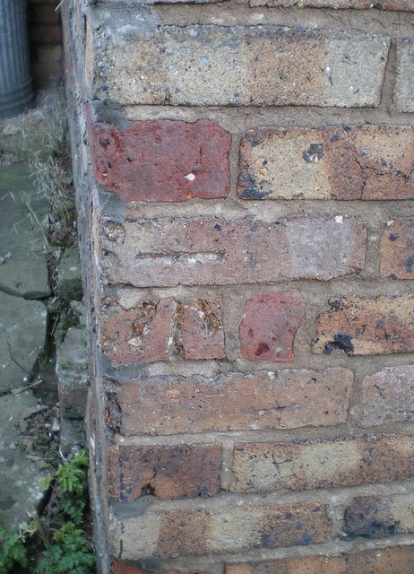
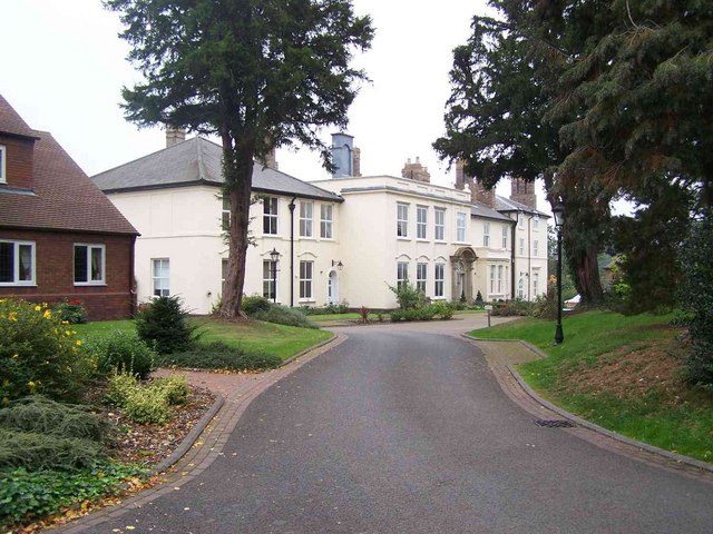
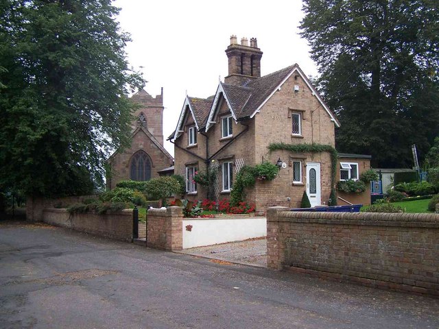
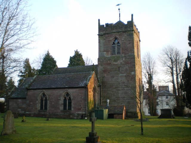
Kemberton Gorse Images

Images are sourced within 2km of 52.630858/-2.3742743 or Grid Reference SJ7403. Thanks to Geograph Open Source API. All images are credited.

Enclosed footpath Approaching Kemberton on the Monarch’s Way long distance footpath
Enclosed footpath
Approaching Kemberton on the Monarch’s Way long distance footpath
Hinnington Grange Seen from across Wesley Brook
Hinnington Grange
Seen from across Wesley Brook
River Worfe Valley The route of the Monarch’s Way long distance footpath follows the River Worfe for a short distance near here
River Worfe Valley
The route of the Monarch’s Way long distance footpath follows the River Worfe for a short distance near here
Bridge over The River Worfe at Ryton The route of the Monarch’s Way long distance footpath passes close to this bridge.
Bridge over The River Worfe at Ryton
The route of the Monarch’s Way long distance footpath passes close to this bridge.
Field Lane out of Kemberton The clump of trees just above the hedge on the right is actually on top of the nearby Lodge Hill in <a href="https://www.geograph.org.uk/gridref/SJ7405">SJ7405</a>, a popular local walk and sometime sledging venue.
Field Lane out of Kemberton
The clump of trees just above the hedge on the right is actually on top of the nearby Lodge Hill in SJ7405, a popular local walk and sometime sledging venue.
OS benchmark - Park Lane, near lodge house OS cutmark in a stone wall roughly 40m north of a lodge house to Evelith Manor. The mark as originally levelled at 82.656m above Ordnance Datum Newlyn.
OS benchmark - Park Lane, near lodge house
OS cutmark in a stone wall roughly 40m north of a lodge house to Evelith Manor. The mark as originally levelled at 82.656m above Ordnance Datum Newlyn.
OS benchmark - Plowden House OS cutmark in the brickwork of the farmhouse at Plowden House, on the NW face near the N angle. Originally levelled at 76.267m above Ordnance Datum Newlyn.
OS benchmark - Plowden House
OS cutmark in the brickwork of the farmhouse at Plowden House, on the NW face near the N angle. Originally levelled at 76.267m above Ordnance Datum Newlyn.
OS benchmark - The Old Pig Barn, Park Lane OS cutmark in the bricks of a converted farm outbuilding at Sands Farm. Originally levelled at 79.382m above Ordnance Datum Newlyn.
OS benchmark - The Old Pig Barn, Park Lane
OS cutmark in the bricks of a converted farm outbuilding at Sands Farm. Originally levelled at 79.382m above Ordnance Datum Newlyn.
OS benchmark - Ryton Bridge OS cutmark on the north parapet of the bridge over the River Worfe just west of Ryton. Originally levelled at 57.796m above Ordnance Datum Newlyn.
OS benchmark - Ryton Bridge
OS cutmark on the north parapet of the bridge over the River Worfe just west of Ryton. Originally levelled at 57.796m above Ordnance Datum Newlyn.
OS Flush Bracket 10561 - Ryton OS flush bracket affixed to the wall of Mead Cottage in Ryton. Originally levelled at 57.01m above Ordnance Datum Newlyn.
OS Flush Bracket 10561 - Ryton
OS flush bracket affixed to the wall of Mead Cottage in Ryton. Originally levelled at 57.01m above Ordnance Datum Newlyn.
OS benchmark - Ryton church OS benchmark on the W face, near the SW angle of the church tower. Originally levelled at 73.931m above Ordnance Datum Newlyn.
OS benchmark - Ryton church
OS benchmark on the W face, near the SW angle of the church tower. Originally levelled at 73.931m above Ordnance Datum Newlyn.
OS benchmark - Ryton, garage A rather indistinct OS cutmark in the bricks of a garage/outbuilding on the north side of the lane leading from Ryton to Atchley. This was levelled at a height of 75.406m above Ordnance Datum Newlyn.
OS benchmark - Ryton, garage
A rather indistinct OS cutmark in the bricks of a garage/outbuilding on the north side of the lane leading from Ryton to Atchley. This was levelled at a height of 75.406m above Ordnance Datum Newlyn.
OS benchmark - Hinnington Grange cottage An OS cutmark (or, rather more accurately, half a cutmark) on the wall of one of the cottages at the entrance to Hinnington Grange. This was levelled at 76.858m above Ordnance Datum Newlyn.
The current owner of the cottage had never noticed it, unsurprisingly, as it's pretty much hidden behind the timber post of a gate screwed to the house wall. Unprompted, and after a discussion about the use and historic value of the benchmark, he offered to cut away the offending piece of timber. I have a feeling this will reveal that the previous owner drilled a screwhole right into the business part of the cutmark.
OS benchmark - Hinnington Grange cottage
An OS cutmark (or, rather more accurately, half a cutmark) on the wall of one of the cottages at the entrance to Hinnington Grange. This was levelled at 76.858m above Ordnance Datum Newlyn. The current owner of the cottage had never noticed it, unsurprisingly, as it's pretty much hidden behind the timber post of a gate screwed to the house wall. Unprompted, and after a discussion about the use and historic value of the benchmark, he offered to cut away the offending piece of timber. I have a feeling this will reveal that the previous owner drilled a screwhole right into the business part of the cutmark.
OS benchmark - Sunnyside farmhouse An OS cutmark in the brick wall at the left side of the farmhouse frontage. Originally levelled at 81.638m above Ordnance Datum Newlyn.
OS benchmark - Sunnyside farmhouse
An OS cutmark in the brick wall at the left side of the farmhouse frontage. Originally levelled at 81.638m above Ordnance Datum Newlyn.
OS benchmark - Kemberton Hall Farm An OS cutmark in the bricks of an outbuilding at Kemberton Hall Farm; originally levelled at 84.186m above Ordnance Datum Newlyn.
OS benchmark - Kemberton Hall Farm
An OS cutmark in the bricks of an outbuilding at Kemberton Hall Farm; originally levelled at 84.186m above Ordnance Datum Newlyn.
Ford at Harrington Hall This ford on the Mad Brook is found on a private road leading up to Harrington Hall.
Ford at Harrington Hall
This ford on the Mad Brook is found on a private road leading up to Harrington Hall.
Ryton Hall
Ryton Hall
Cottage and Church, Ryton The church, unusually, is not dedicated to any particular Saint
Cottage and Church, Ryton
The church, unusually, is not dedicated to any particular Saint
Show me another place!

Kemberton Gorse is located at Grid Ref: SJ7403 (Lat: 52.630858, Lng: -2.3742743)

Unitary Authority: Shropshire

Police Authority: West Mercia

What 3 Words

///firm.buggy.example. Near Ryton, Shropshire

Nearby Locations

Kemberton Gorse

Related Wikis

Ryton, Shropshire

Ryton is a village and civil parish in Shropshire, England, in the district of Bridgnorth. It lies about one mile north north west of Beckbury. The civil...

Kemberton

Kemberton is a village and civil parish located in Shropshire, England. The population of the civil parish at the 2011 Census was 244. == See also == Listed...

Beckbury

Beckbury is a village and civil parish in Shropshire, England. Beckbury had a population of 327 according to the 2001 census, increasing to 340 at the...

Caynton Caves

The Caynton Caves are a series of man-made underground chambers in the grounds of Caynton Hall, near Beckbury, Shropshire, England. Their original purpose...

Have you been to Kemberton Gorse?

Leave your review of Kemberton Gorse below (or comments, questions and feedback).