Home Copse

Wood, Forest in Dorset

England

Home Copse

Old Bridge Marker on King's Stag Bridge, The Common, Pulham parish Bridge Marker by the UC road, in parish of Pulham (North Dorset District), The Common, King's Stag Bridge.

Inscription reads:-
DORSET
ANY PERSON WILFULLY INJURING
ANY PART OF THIS COUNTY BRIDGE
WILL BE GUILTY OF FELONY AND
UPON CONVICTION LIABLE TO BE
TRANSPORTED FOR LIFE
BY THE COURT
7&8 GEO 4 C30 S13 T FOOKS

King's Stag Bridge is Grade II listed in two parts - one part for each parish.
Hazlebury Bryan parish - List Entry Number: 1287981 <span class="nowrap"><a title="https://historicengland.org.uk/listing/the-list/list-entry/1287981" rel="nofollow ugc noopener" href="https://historicengland.org.uk/listing/the-list/list-entry/1287981">Link</a><img style="margin-left:2px;" alt="External link" title="External link - shift click to open in new window" src="https://s1.geograph.org.uk/img/external.png" width="10" height="10"/></span>
Pulham parish - List Entry Number: 1228069 <span class="nowrap"><a title="https://historicengland.org.uk/listing/the-list/list-entry/1228069" rel="nofollow ugc noopener" href="https://historicengland.org.uk/listing/the-list/list-entry/1228069">Link</a><img style="margin-left:2px;" alt="External link" title="External link - shift click to open in new window" src="https://s1.geograph.org.uk/img/external.png" width="10" height="10"/></span>

Surveyed

Milestone Society National ID: DO_TRAKISbr
Old Bridge Marker on King's Stag Bridge, The Common, Pulham parish Credit: Milestone Society

Home Copse is a picturesque woodland located in the county of Dorset, in southwest England. Covering an area of approximately 100 acres, it is a serene retreat for nature lovers and outdoor enthusiasts. The copse is situated in close proximity to the village of Home, hence its name.

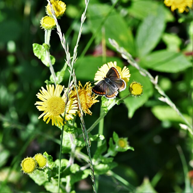
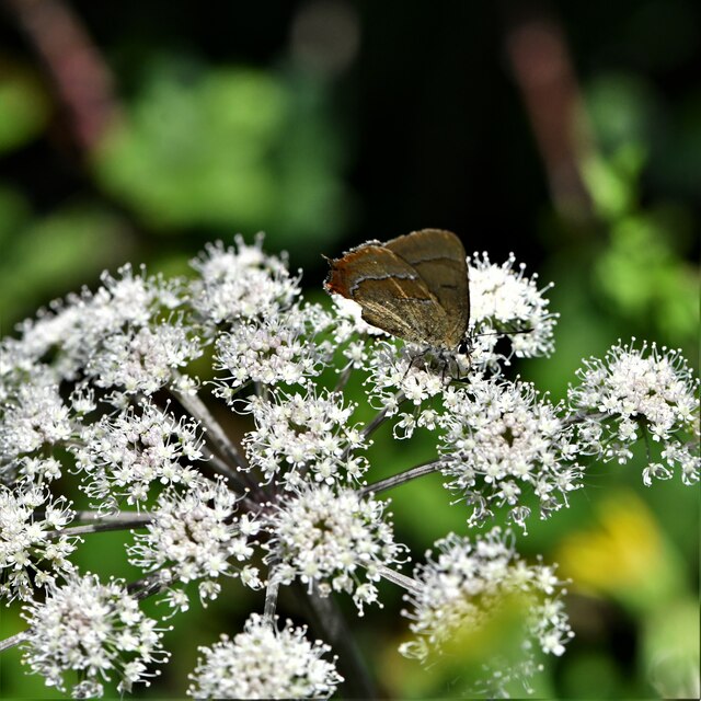
Home Copse is characterized by its dense and diverse vegetation, consisting of a mixture of deciduous and evergreen trees. The woodland is dominated by oak, beech, and ash trees, which provide a leafy canopy during the summer months. In addition to these species, there are also numerous hazel, holly, and yew trees that contribute to the rich tapestry of the forest.

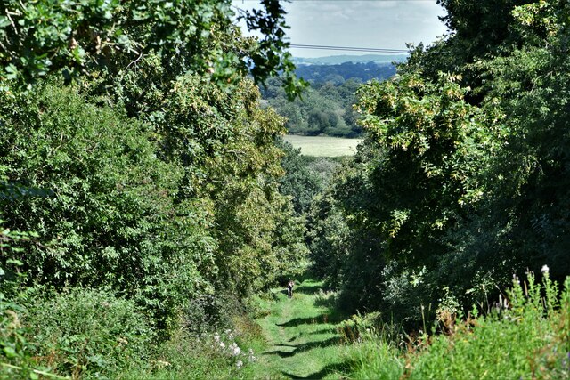
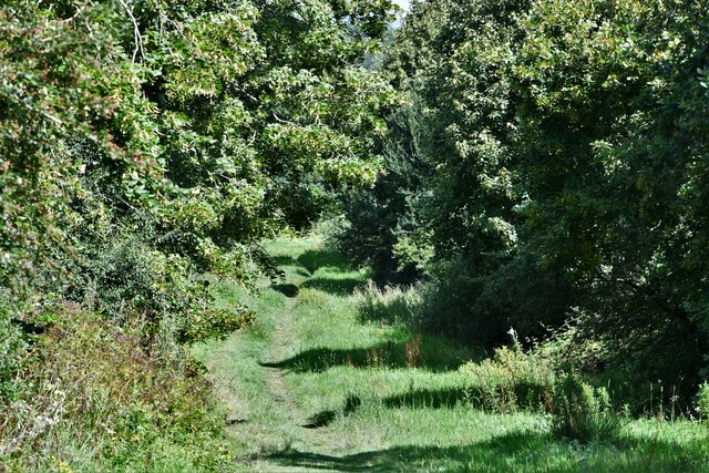
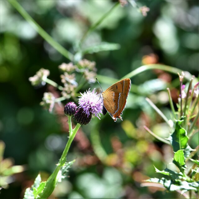
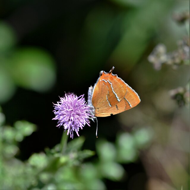
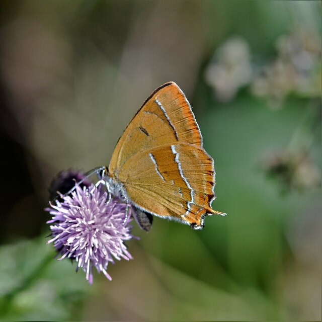
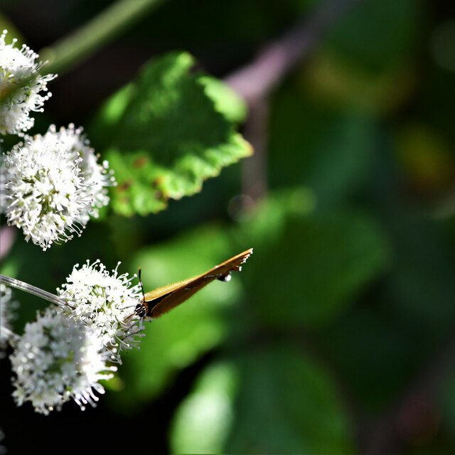
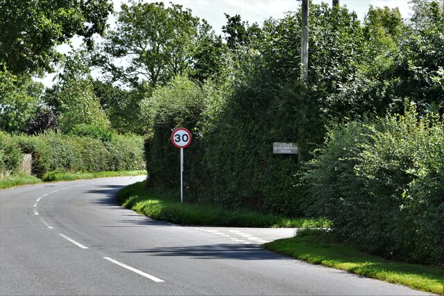
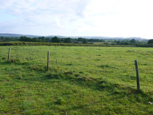
The copse is crisscrossed by a network of well-maintained footpaths, enabling visitors to explore its beauty at their own pace. These paths wind their way through the woodland, leading walkers past tranquil ponds, babbling brooks, and vibrant wildflower meadows. The copse is also home to a variety of wildlife, including deer, foxes, badgers, and numerous species of birds.

Throughout the year, Home Copse offers a stunning display of seasonal beauty. In spring, the woodland comes alive with a riot of colors as the trees burst into blossom and the forest floor is carpeted with bluebells and wild garlic. During autumn, the copse transforms into a golden wonderland as the leaves change color, providing a breathtaking spectacle for visitors.

Managed by the local council, Home Copse is a cherished natural sanctuary that provides a peaceful escape from the hustle and bustle of everyday life. Its serene ambiance and natural beauty make it a popular destination for nature enthusiasts and those seeking a tranquil retreat in the heart of Dorset.

If you have any feedback on the listing, please let us know in the comments section below.
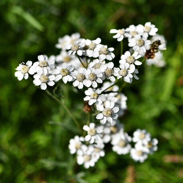
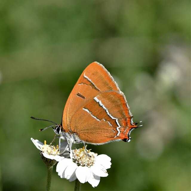
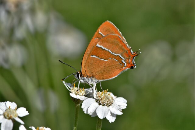
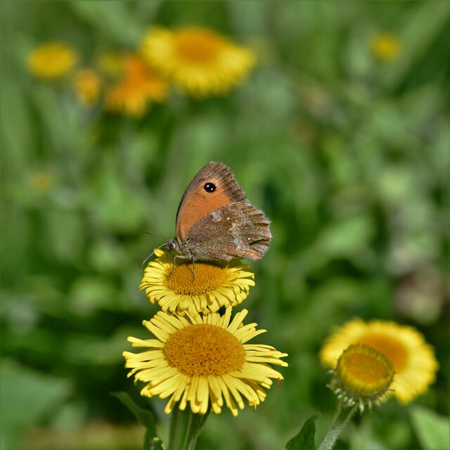
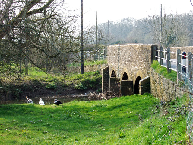
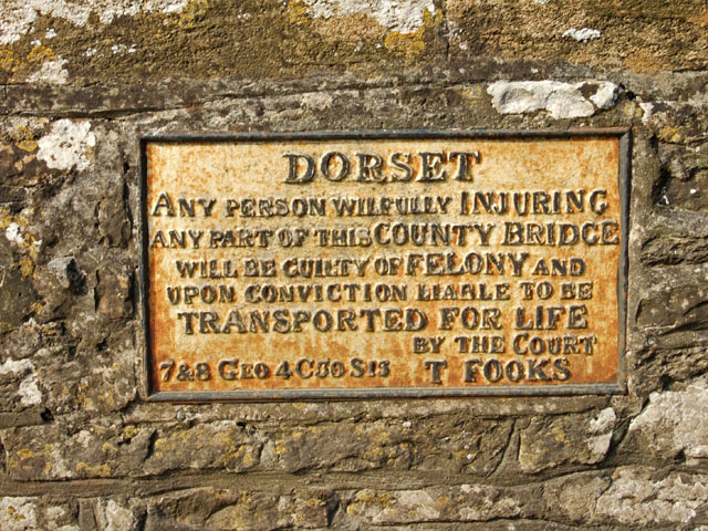
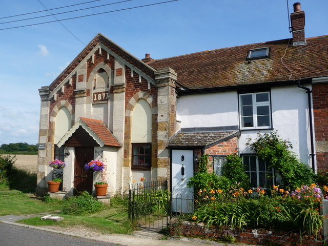
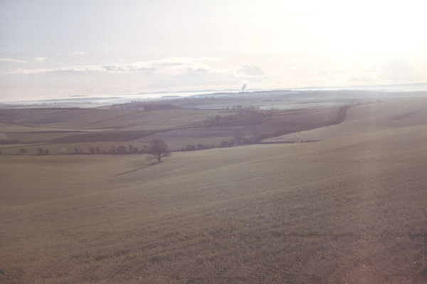
Home Copse Images

Images are sourced within 2km of 50.893473/-2.3620449 or Grid Reference ST7410. Thanks to Geograph Open Source API. All images are credited.

Old Bridge Marker on King's Stag Bridge, The Common, Pulham parish Bridge Marker by the UC road, in parish of Pulham (North Dorset District), The Common, King's Stag Bridge.

Inscription reads:-
DORSET
ANY PERSON WILFULLY INJURING
ANY PART OF THIS COUNTY BRIDGE
WILL BE GUILTY OF FELONY AND
UPON CONVICTION LIABLE TO BE
TRANSPORTED FOR LIFE
BY THE COURT
7&8 GEO 4 C30 S13 T FOOKS

King's Stag Bridge is Grade II listed in two parts - one part for each parish.
Hazlebury Bryan parish - List Entry Number: 1287981 <span class="nowrap"><a title="https://historicengland.org.uk/listing/the-list/list-entry/1287981" rel="nofollow ugc noopener" href="https://historicengland.org.uk/listing/the-list/list-entry/1287981">Link</a><img style="margin-left:2px;" alt="External link" title="External link - shift click to open in new window" src="https://s1.geograph.org.uk/img/external.png" width="10" height="10"/></span>
Pulham parish - List Entry Number: 1228069 <span class="nowrap"><a title="https://historicengland.org.uk/listing/the-list/list-entry/1228069" rel="nofollow ugc noopener" href="https://historicengland.org.uk/listing/the-list/list-entry/1228069">Link</a><img style="margin-left:2px;" alt="External link" title="External link - shift click to open in new window" src="https://s1.geograph.org.uk/img/external.png" width="10" height="10"/></span>

Surveyed

Milestone Society National ID: DO_TRAKISbr
Old Bridge Marker on King's Stag Bridge, The Common, Pulham parish
Bridge Marker by the UC road, in parish of Pulham (North Dorset District), The Common, King's Stag Bridge. Inscription reads:- DORSET ANY PERSON WILFULLY INJURING ANY PART OF THIS COUNTY BRIDGE WILL BE GUILTY OF FELONY AND UPON CONVICTION LIABLE TO BE TRANSPORTED FOR LIFE BY THE COURT 7&8 GEO 4 C30 S13 T FOOKS King's Stag Bridge is Grade II listed in two parts - one part for each parish. Hazlebury Bryan parish - List Entry Number: 1287981 LinkExternal link Pulham parish - List Entry Number: 1228069 LinkExternal link Surveyed Milestone Society National ID: DO_TRAKISbr
Alners Gorse Butterfly Reserve: Main track
Alners Gorse Butterfly Reserve: Sign
Alners Gorse Butterfly Reserve: Main track
Alners Gorse Butterfly Reserve: Brown Hairstreak 'Thecla betulae' 1
Alners Gorse Butterfly Reserve: Brown Hairstreak 'Thecla betulae' 2
Alners Gorse Butterfly Reserve: Brown Hairstreak 'Thecla betulae' 3
Alners Gorse Butterfly Reserve: Brown Hairstreak 'Thecla betulae' 4
Alners Gorse Butterfly Reserve: Sneezewort 'Achillea ptarmica'
Alners Gorse Butterfly Reserve: Brown Hairstreak 'Thecla betulae' 5
Alners Gorse Butterfly Reserve: Brown Hairstreak 'Thecla betulae' 6
Alners Gorse Butterfly Reserve: Gatekeeper 'Pyronia tithonus' on Fleabane 'Pulicaria dysenterica'
Alners Gorse Butterfly Reserve: Brown argus 'Aricia agestis'
Alners Gorse Butterfly Reserve: White Letter Hairstreak 'Satyrium w-album' A very elusive butterfly.
Alners Gorse Butterfly Reserve: White Letter Hairstreak 'Satyrium w-album'
A very elusive butterfly.
Hazelbury Bryan: The Common
Valley of the Lydden The River Lydden meanders across this Vale of Blackmore between Hazelbury Bryan and Kings Stag. The buildings visible in the middle are at Lyddon House spelt slightly differently to the river.
Valley of the Lydden
The River Lydden meanders across this Vale of Blackmore between Hazelbury Bryan and Kings Stag. The buildings visible in the middle are at Lyddon House spelt slightly differently to the river.
Bridge over the Lydden at King's Stag Grade II listed mid C19 road bridge. View is from the southeast towards the village of King's Stag, on the road from Hazelbury Bryan.
Bridge over the Lydden at King's Stag
Grade II listed mid C19 road bridge. View is from the southeast towards the village of King's Stag, on the road from Hazelbury Bryan.
Transportation Notice on the Bridge at King's Stag This is just one of many such 19th century notices affixed to bridges throughout Dorset, warning of being 'Transported for Life' if convicted of causing damage or 'injury'.
Transportation Notice on the Bridge at King's Stag
This is just one of many such 19th century notices affixed to bridges throughout Dorset, warning of being 'Transported for Life' if convicted of causing damage or 'injury'.
Show me another place!

Home Copse is located at Grid Ref: ST7410 (Lat: 50.893473, Lng: -2.3620449)

Unitary Authority: Dorset

Police Authority: Dorset

What 3 Words

///installs.graver.brambles. Near Sturminster Newton, Dorset

Related Wikis

Hazelbury Bryan

Hazelbury Bryan is a village and civil parish in the county of Dorset in southern England. It is situated in the Blackmore Vale, approximately five miles...

King's Stag Memorial Chapel

King's Stag Memorial Chapel is a Church of England chapel in King's Stag, Dorset, England. == History == The memorial chapel at King's Stag was built in...

Fifehead Neville

Fifehead Neville is a village and civil parish in the county of Dorset in southern England, situated in the Blackmore Vale about two miles (three kilometres...

Lydlinch

Lydlinch is a village and civil parish in the Blackmore Vale in north Dorset, England, about three miles (five kilometres) west of Sturminster Newton....

Bagber

Bagber is a hamlet in the county of Dorset in southern England, situated about 2 miles (3.2 km) west and northwest of Sturminster Newton in the Dorset...

Woodbridge, Dorset

Woodbridge is a hamlet in Dorset, England. The village is on the A3030 road and to the north east of Holwell. == History == Woodbridge was part of the...

Caundle Brook

Caundle Brook is a 13.4 miles (21.6 km) tributary of the River Lydden that flows through Blackmore Vale in Dorset, England.Its headwaters rise at the foot...

Dorset Downs

The Dorset Downs are an area of chalk downland in the centre of the county Dorset in south west England. The downs are the most western part of a larger...

Nearby Amenities

Located within 500m of 50.893473,-2.3620449
Material: wood
Power: pole
Source: bing
Lat/Long: 50.8899989/-2.3661145
Material: wood
Power: pole
Source: bing
Lat/Long: 50.8905701/-2.3653282
Power: pole
Source: bing
Lat/Long: 50.8914193/-2.3646609
Power: pole
Source: bing
Lat/Long: 50.8917458/-2.3640145
The data included in this document is from www.openstreetmap.org. The data is made available under ODbL.

Have you been to Home Copse?

Leave your review of Home Copse below (or comments, questions and feedback).