Deadmoor Copse
Wood, Forest in Dorset
England
Deadmoor Copse
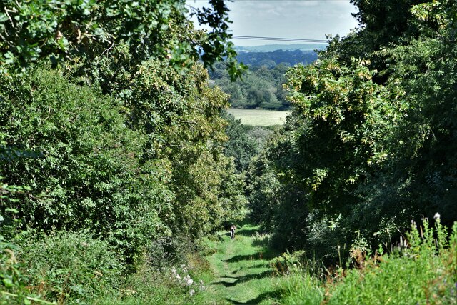
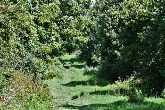
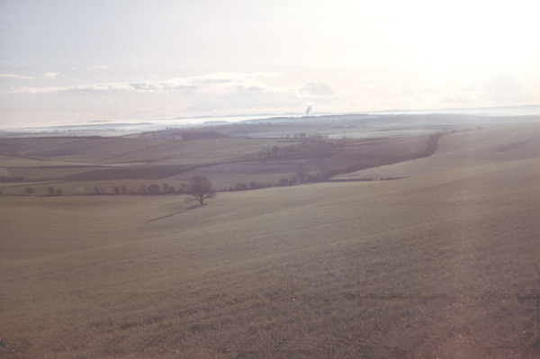
Deadmoor Copse is a beautiful woodland located in the county of Dorset, England. Spanning an area of approximately 100 acres, this enchanting forest is nestled within the heart of the countryside, offering a serene and tranquil retreat for nature enthusiasts and hikers alike.
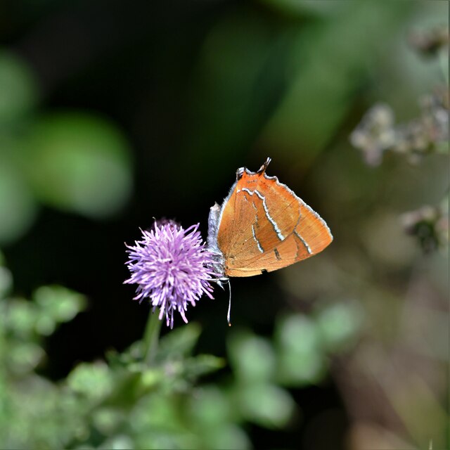
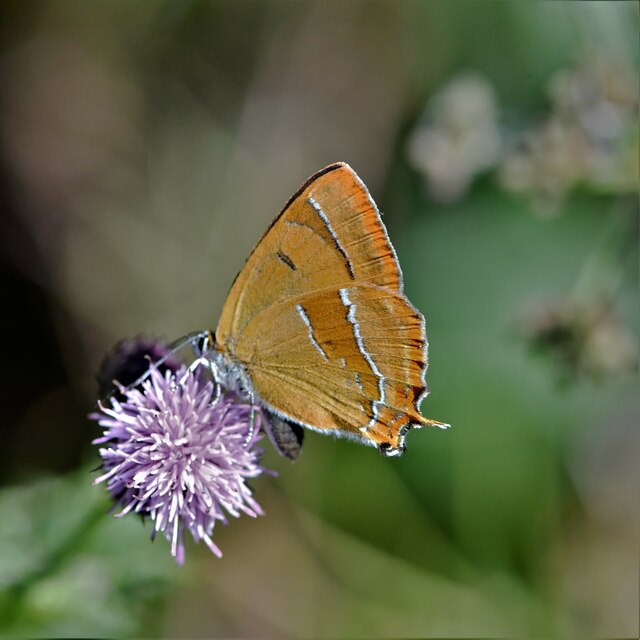
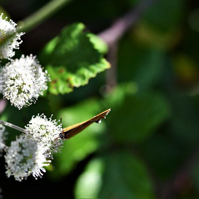
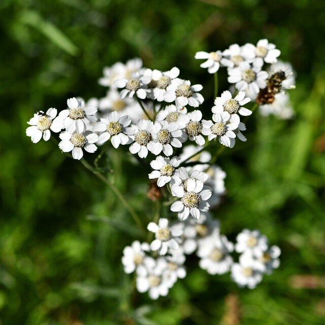
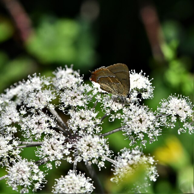
The copse is characterized by its diverse range of tree species, including oak, beech, and birch, which create a rich and vibrant canopy overhead. The forest floor is adorned with a carpet of wildflowers, ferns, and mosses, adding to its picturesque charm.
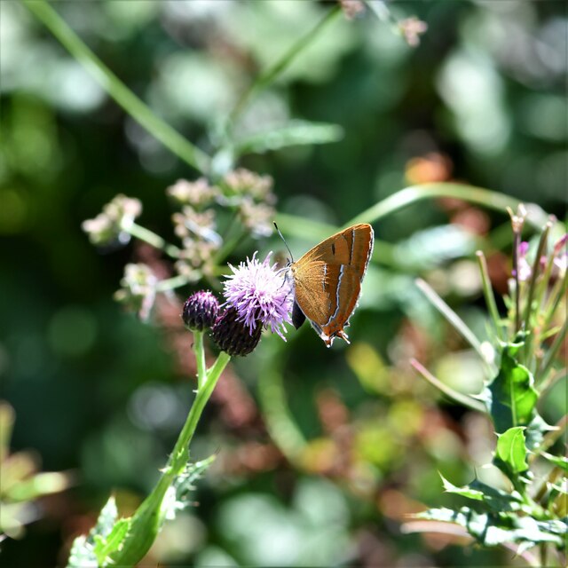
Numerous walking trails wind their way through Deadmoor Copse, allowing visitors to explore its hidden corners and discover its natural wonders. The paths are well-maintained and clearly marked, ensuring a safe and enjoyable experience for all. Along the way, walkers are likely to encounter various wildlife species, such as squirrels, deer, and a myriad of bird species, making it a haven for wildlife enthusiasts and birdwatchers.
The copse is also home to a small stream that meanders through the forest, providing a refreshing spot for visitors to sit and unwind. The sound of trickling water and the gentle rustle of leaves create a soothing ambiance, making it the perfect place for relaxation and meditation.
Deadmoor Copse is open to the public year-round, and its natural beauty changes with each season, offering a unique experience throughout the year. Whether it's the vibrant colors of autumn, the fresh green foliage of spring, or the peaceful snow-covered landscape of winter, this woodland gem never fails to captivate its visitors with its timeless allure.
If you have any feedback on the listing, please let us know in the comments section below.
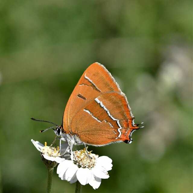
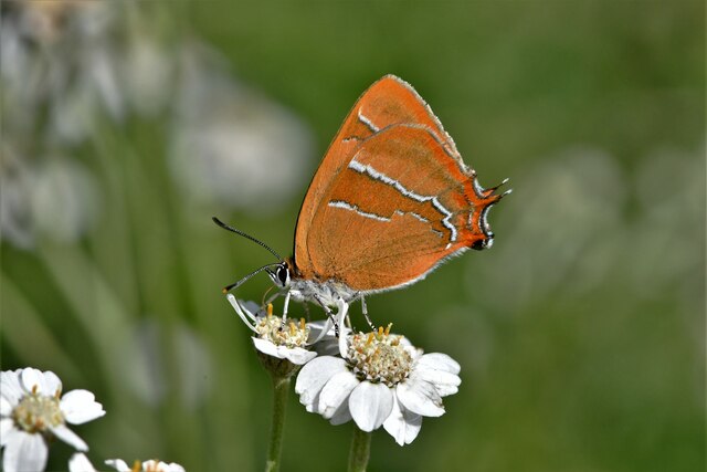
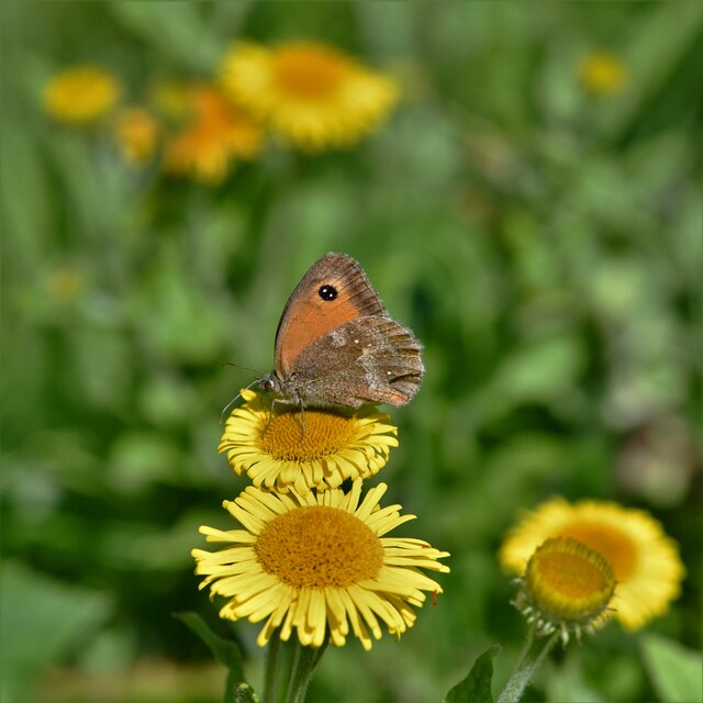
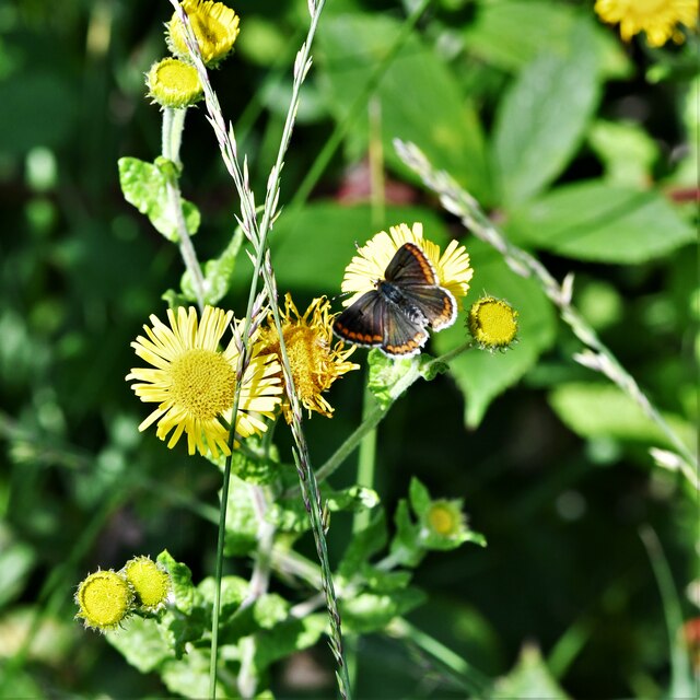
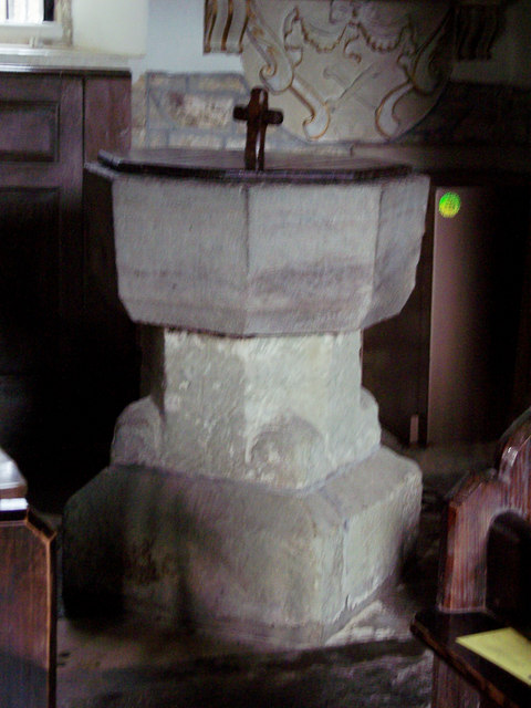
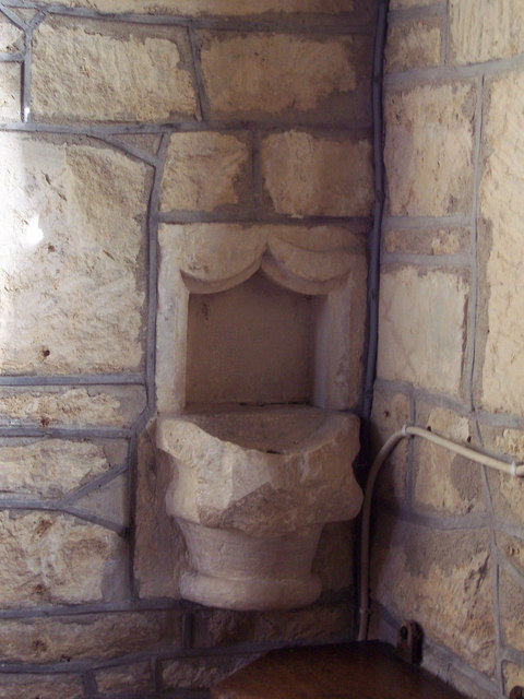
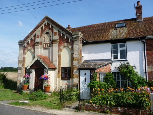
Deadmoor Copse Images
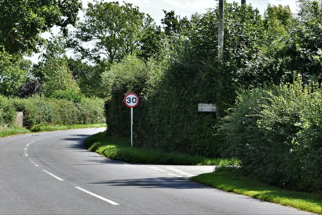
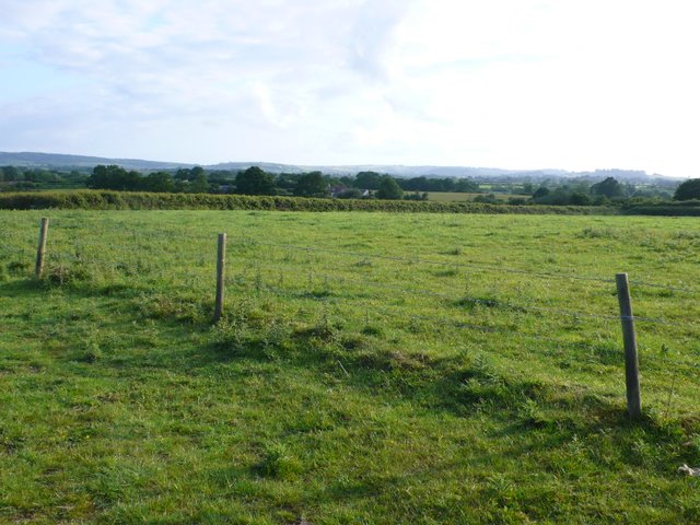
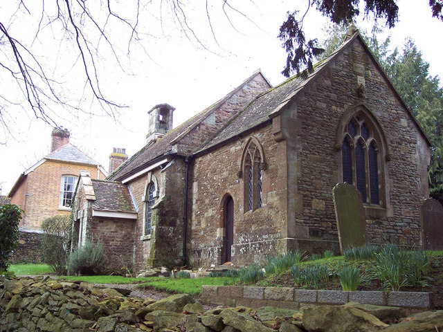
Images are sourced within 2km of 50.893764/-2.3581513 or Grid Reference ST7410. Thanks to Geograph Open Source API. All images are credited.
Deadmoor Copse is located at Grid Ref: ST7410 (Lat: 50.893764, Lng: -2.3581513)
Unitary Authority: Dorset
Police Authority: Dorset
What 3 Words
///warms.laser.teamed. Near Sturminster Newton, Dorset
Nearby Locations
Related Wikis

Hazelbury Bryan
Hazelbury Bryan is a village and civil parish in the county of Dorset in southern England. It is situated in the Blackmore Vale, approximately five miles...

Fifehead Neville
Fifehead Neville is a village and civil parish in the county of Dorset in southern England, situated in the Blackmore Vale about two miles (three kilometres...

King's Stag Memorial Chapel
King's Stag Memorial Chapel is a Church of England chapel in King's Stag, Dorset, England. == History == The memorial chapel at King's Stag was built in...

Lydlinch
Lydlinch is a village and civil parish in the Blackmore Vale in north Dorset, England, about three miles (five kilometres) west of Sturminster Newton....
Bagber
Bagber is a hamlet in the county of Dorset in southern England, situated about 2 miles (3.2 km) west and northwest of Sturminster Newton in the Dorset...

Caundle Brook
Caundle Brook is a 13.4 miles (21.6 km) tributary of the River Lydden that flows through Blackmore Vale in Dorset, England.Its headwaters rise at the foot...

Woodbridge, Dorset
Woodbridge is a hamlet in Dorset, England. The village is on the A3030 road and to the north east of Holwell. == History == Woodbridge was part of the...
Dorset Downs
The Dorset Downs are an area of chalk downland in the centre of the county Dorset in south west England. The downs are the most western part of a larger...
Nearby Amenities
Located within 500m of 50.893764,-2.3581513Have you been to Deadmoor Copse?
Leave your review of Deadmoor Copse below (or comments, questions and feedback).