Brandlodge Coppice
Wood, Forest in Worcestershire Wyre Forest
England
Brandlodge Coppice
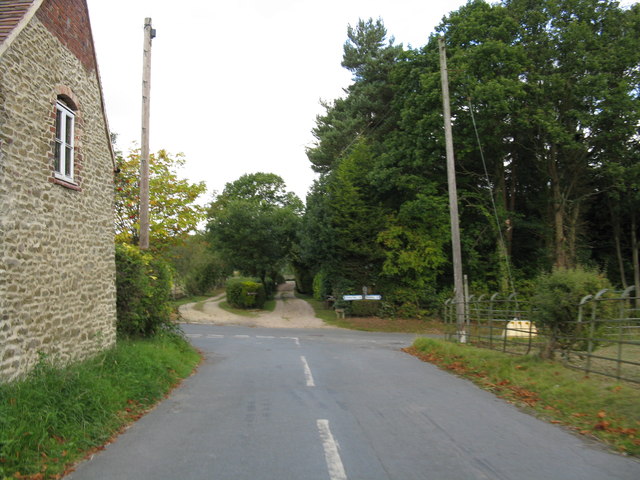
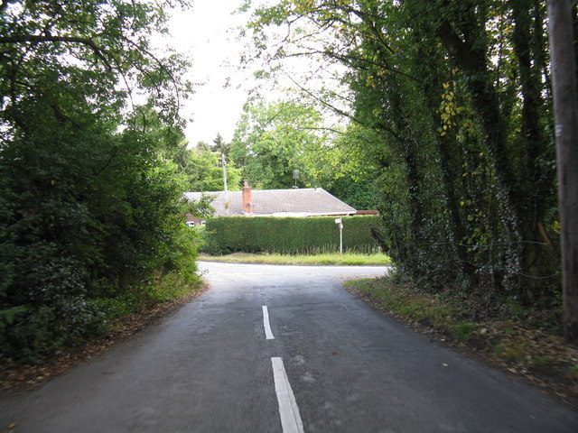
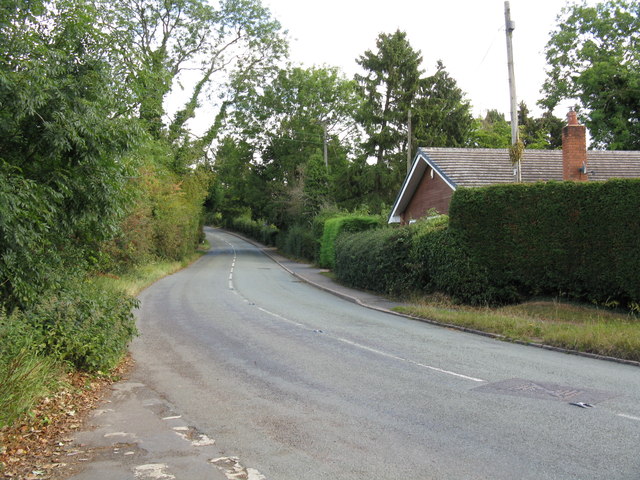
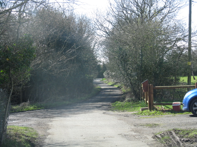
Brandlodge Coppice is a charming woodland located in Worcestershire, England. Spanning over an area of approximately 50 acres, this picturesque forest is a haven for nature enthusiasts and outdoor lovers. The coppice is situated near the village of Brandlodge, hence its name, and is easily accessible by foot or by car.
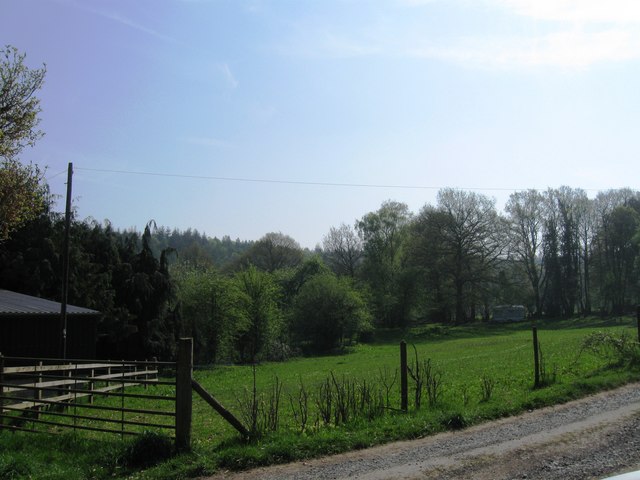
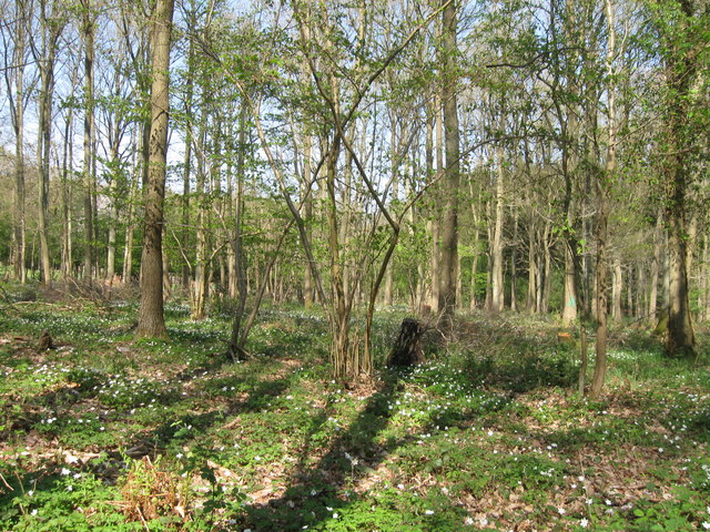
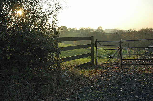
The forest is characterized by its diverse range of tree species, including oak, beech, birch, and ash. These towering trees create a dense canopy overhead, providing shade and shelter for a variety of wildlife. The forest floor is adorned with a rich carpet of mosses, ferns, and wildflowers, which adds to the enchanting atmosphere of the woodland.
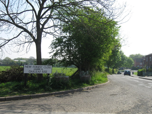
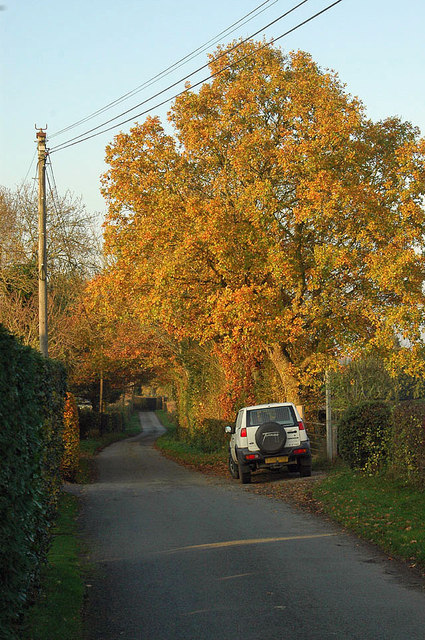
Brandlodge Coppice offers a network of well-maintained walking trails, allowing visitors to explore the forest at their own pace. These trails wind through the trees, offering glimpses of the vibrant birdlife and occasional sightings of deer and other woodland creatures. The forest is also home to a small stream, which meanders through the undergrowth, adding to the tranquility of the surroundings.
Nature lovers can enjoy a range of activities in Brandlodge Coppice, including birdwatching, photography, and nature walks. The forest is particularly popular during the spring and summer months when the trees are in full bloom and the forest is teeming with life.
Overall, Brandlodge Coppice is a hidden gem in Worcestershire, offering a peaceful retreat from the hustle and bustle of everyday life. Whether it's for a leisurely stroll or an immersive nature experience, this woodland provides a serene and enchanting escape for visitors of all ages.
If you have any feedback on the listing, please let us know in the comments section below.
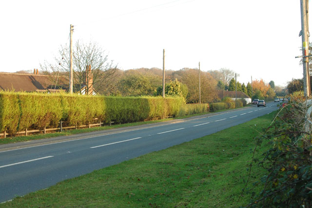
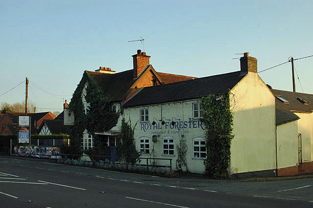
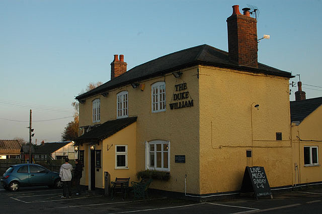
Brandlodge Coppice Images
Images are sourced within 2km of 52.373611/-2.3851968 or Grid Reference SO7375. Thanks to Geograph Open Source API. All images are credited.

Brandlodge Coppice is located at Grid Ref: SO7375 (Lat: 52.373611, Lng: -2.3851968)
Administrative County: Worcestershire
District: Wyre Forest
Police Authority: West Mercia
What 3 Words
///producing.pirate.retire. Near Bewdley, Worcestershire
Nearby Locations
Related Wikis

Far Forest
Far Forest is a small village in north Worcestershire, England, approximately 3.5 miles (5.6 km) west of Bewdley, and next to the border with Shropshire...

Fingerpost, Worcestershire
Fingerpost is a hamlet and road junction in north Worcestershire, England, approximately 3 miles (4.8 km) west of Bewdley. It is located at the junction...
Wyre Forest railway station
Wyre Forest railway station was a station to the north of Far Forest, Worcestershire, England. The station which served the Wyre Forest was opened in 1869...

Wyre Forest
Wyre Forest is a large, semi-natural (partially unmanaged) woodland and forest measuring 26.34 square kilometres (10.17 sq mi) which straddles the borders...

Bliss Gate
Bliss Gate is a small village in Worcestershire, England. It had many attractive tourist landmarks such as the Bliss Gate Inn (now closed) and a village...

Knowles Mill
Knowles Mill is the remains of an eighteenth-century water-powered grain mill, located in the Wyre Forest in Worcestershire, England. The mill has been...
Button Oak
Button Oak is a small village in the English county of Shropshire, England. It is 3 miles north west of Bewdley. Button Oak is very similar to nearby...

Cleobury Mortimer railway station
Cleobury Mortimer railway station was a station in Cleobury Mortimer, Shropshire, England. The station was opened in 1864 and closed in 1962. Station buildings...
Nearby Amenities
Located within 500m of 52.373611,-2.3851968Have you been to Brandlodge Coppice?
Leave your review of Brandlodge Coppice below (or comments, questions and feedback).