Lynall's Coppice
Wood, Forest in Worcestershire Wyre Forest
England
Lynall's Coppice
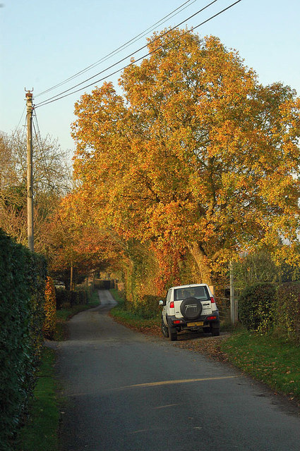
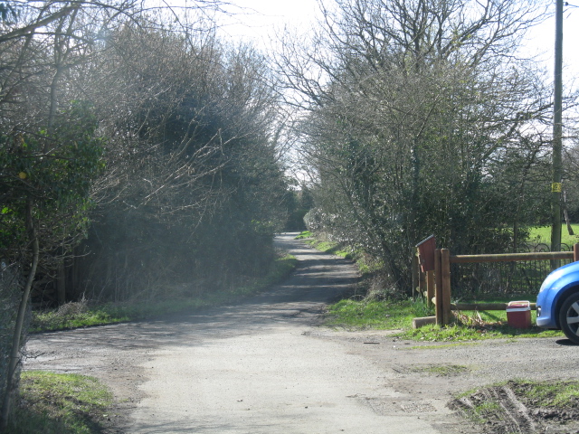
Lynall's Coppice is a picturesque woodland located in Worcestershire, England. Spanning over a vast area, this enchanting forest is a haven for nature enthusiasts and those seeking a peaceful escape from the hustle and bustle of daily life.
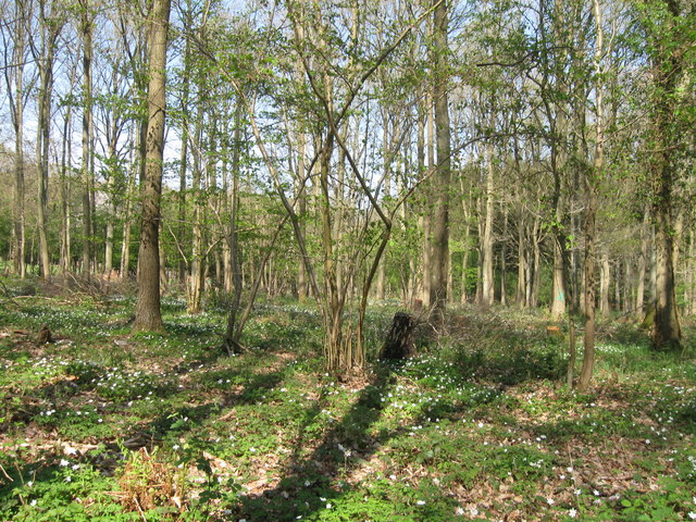
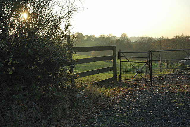
The coppice is characterized by its diverse range of tree species, including oak, beech, and birch, creating a rich and vibrant ecosystem. The forest floor is covered with a carpet of wildflowers, adding splashes of color to the lush greenery. This biodiverse habitat provides a sanctuary for a wide array of wildlife, such as deer, foxes, and various bird species.
Walking trails wind their way through the woodland, offering visitors the opportunity to immerse themselves in nature and explore the area's natural beauty. The peaceful ambiance is enhanced by the melodic sounds of birdsong and the gentle rustling of leaves in the breeze.
Lynall's Coppice also holds historical significance, with evidence of human activity dating back centuries. Remnants of ancient settlements, including the remains of charcoal pits and ironworks, can be found within the forest, providing a fascinating glimpse into the region's past.
Visitors to Lynall's Coppice can enjoy a range of recreational activities, such as hiking, birdwatching, and nature photography. The woodland is also a popular spot for picnics and family outings, with designated areas offering a perfect setting to relax and unwind.
Overall, Lynall's Coppice is a captivating woodland retreat, offering a tranquil escape and a chance to connect with nature in the heart of Worcestershire.
If you have any feedback on the listing, please let us know in the comments section below.
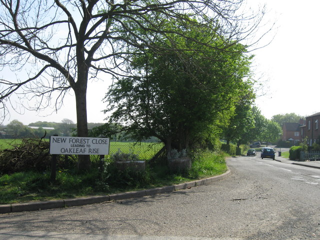
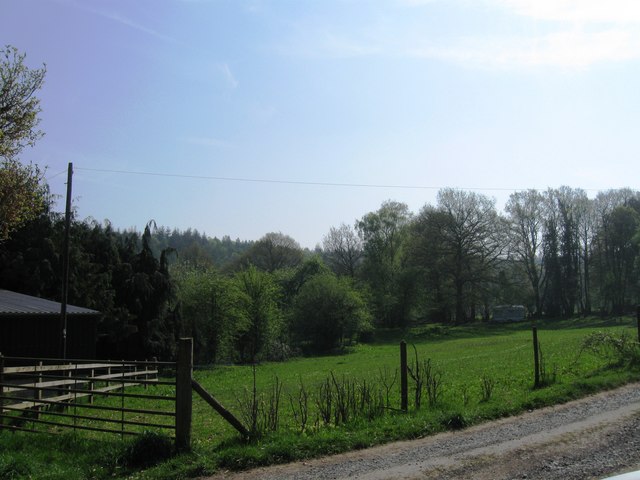
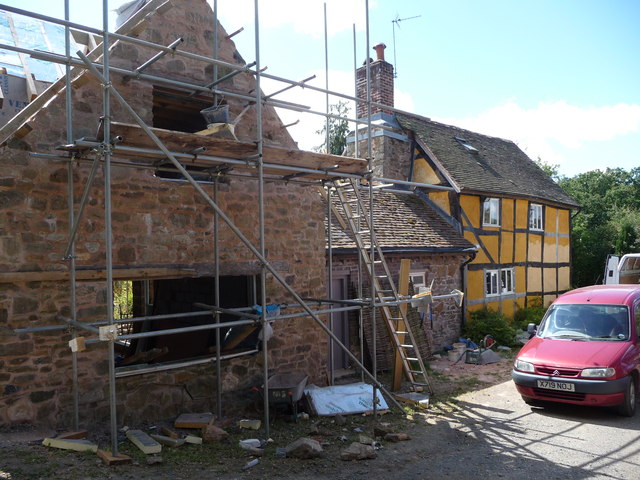
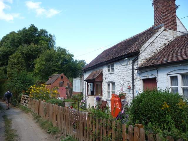
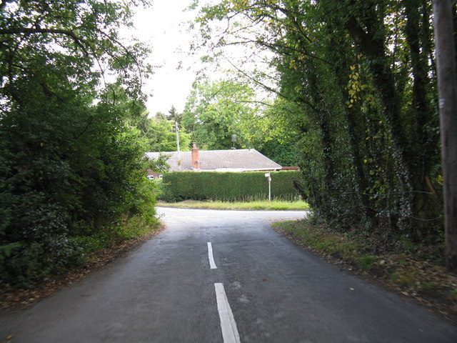
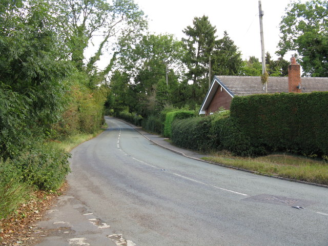
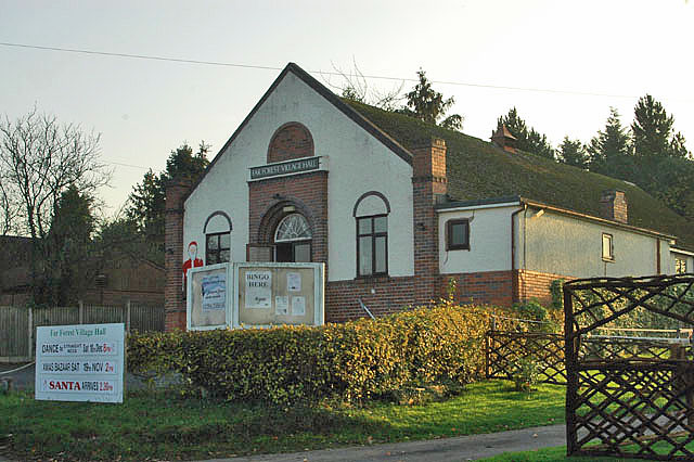
Lynall's Coppice Images
Images are sourced within 2km of 52.376173/-2.390713 or Grid Reference SO7375. Thanks to Geograph Open Source API. All images are credited.


Lynall's Coppice is located at Grid Ref: SO7375 (Lat: 52.376173, Lng: -2.390713)
Administrative County: Worcestershire
District: Wyre Forest
Police Authority: West Mercia
What 3 Words
///drumbeat.stressed.impeached. Near Bewdley, Worcestershire
Nearby Locations
Related Wikis

Far Forest
Far Forest is a small village in north Worcestershire, England, approximately 3.5 miles (5.6 km) west of Bewdley, and next to the border with Shropshire...

Wyre Forest railway station
Wyre Forest railway station was a station to the north of Far Forest, Worcestershire, England. The station which served the Wyre Forest was opened in 1869...
Fingerpost, Worcestershire
Fingerpost is a hamlet and road junction in north Worcestershire, England, approximately 3 miles (4.8 km) west of Bewdley. It is located at the junction...

Wyre Forest
Wyre Forest is a large, semi-natural (partially unmanaged) woodland and forest measuring 26.34 square kilometres (10.17 sq mi) which straddles the borders...

Knowles Mill
Knowles Mill is the remains of an eighteenth-century water-powered grain mill, located in the Wyre Forest in Worcestershire, England. The mill has been...

Bliss Gate
Bliss Gate is a small village in Worcestershire, England. It had many attractive tourist landmarks such as the Bliss Gate Inn (now closed) and a village...
Button Oak
Button Oak is a small village in the English county of Shropshire, England. It is 3 miles north west of Bewdley. Button Oak is very similar to nearby...

Cleobury Mortimer railway station
Cleobury Mortimer railway station was a station in Cleobury Mortimer, Shropshire, England. The station was opened in 1864 and closed in 1962. Station buildings...
Nearby Amenities
Located within 500m of 52.376173,-2.390713Have you been to Lynall's Coppice?
Leave your review of Lynall's Coppice below (or comments, questions and feedback).