Lawleys Coppice
Wood, Forest in Shropshire
England
Lawleys Coppice

The requested URL returned error: 429 Too Many Requests
If you have any feedback on the listing, please let us know in the comments section below.
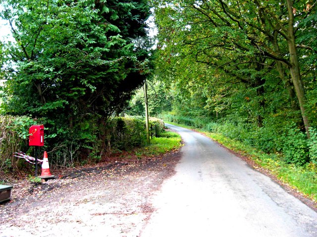
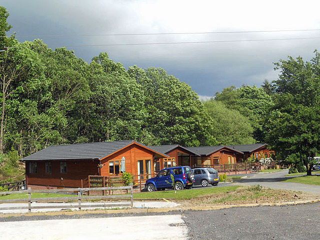
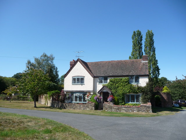
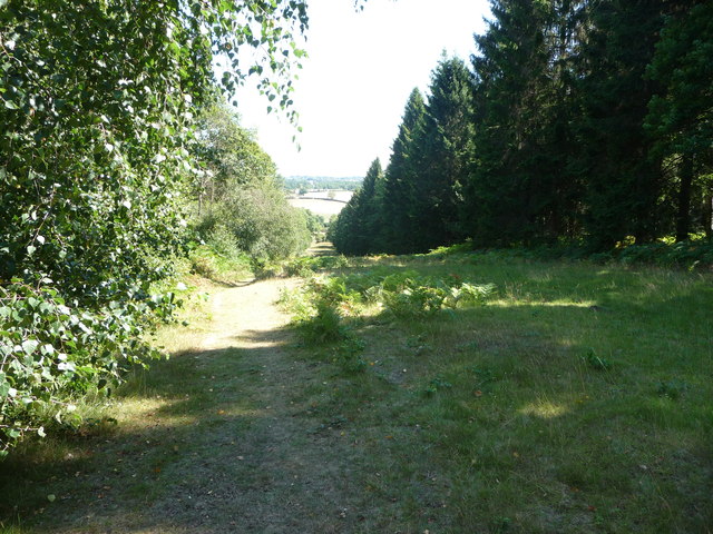
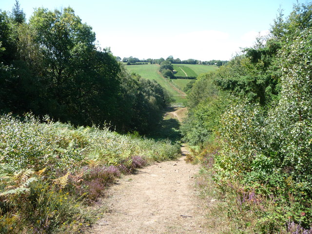
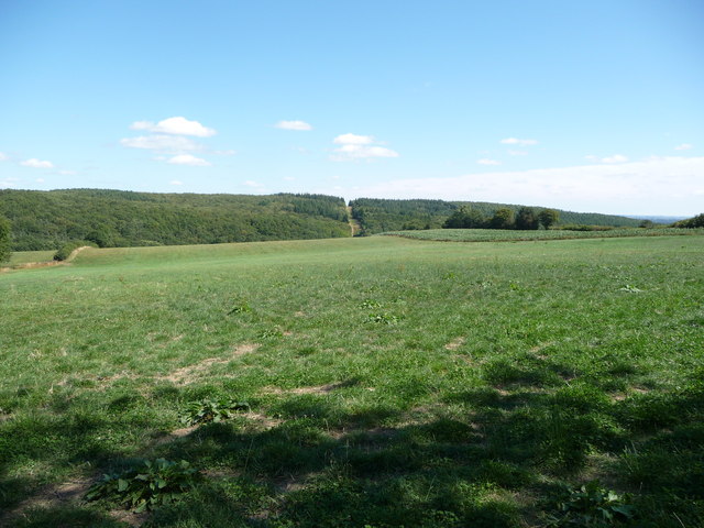
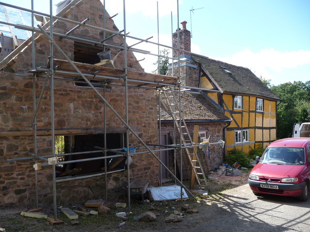
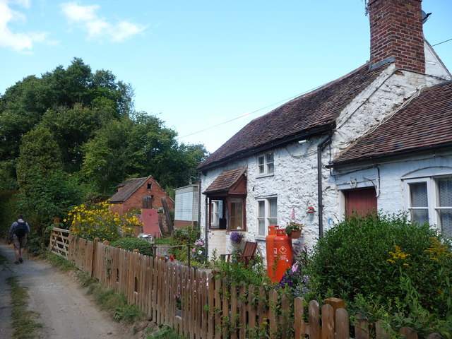
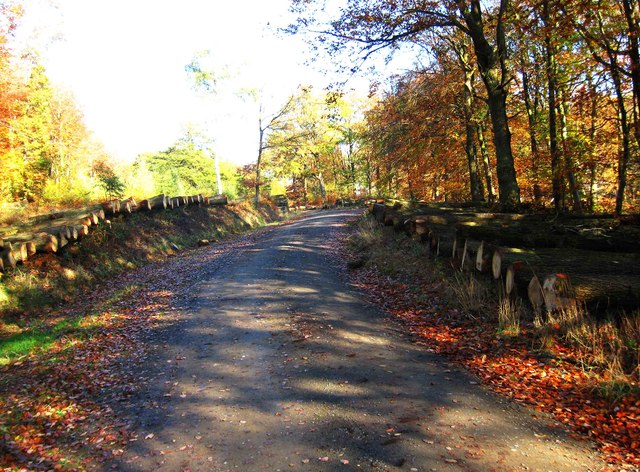
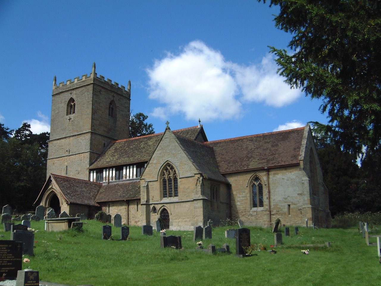
Lawleys Coppice Images
Images are sourced within 2km of 52.405759/-2.3855357 or Grid Reference SO7378. Thanks to Geograph Open Source API. All images are credited.


Lawleys Coppice is located at Grid Ref: SO7378 (Lat: 52.405759, Lng: -2.3855357)
Unitary Authority: Shropshire
Police Authority: West Mercia
What 3 Words
///pens.clattered.graceful. Near Highley, Shropshire
Nearby Locations
Related Wikis

Coppicegate
Coppicegate is a small settlement in Shropshire, England. It is beside the Wyre Forest and is 10 kilometres (6 mi) northwest of Kidderminster. == External... ==

Button Oak
Button Oak is a small village in the English county of Shropshire, England. It is 3 miles north west of Bewdley. Button Oak is very similar to nearby...

Pound Green
Pound Green is a hamlet in Upper Arley, Worcestershire, England. It has a number of tourist landmarks such as Ye Olde New Inn and a village hall that also...
Kinlet
Kinlet is a small village and civil parish in the south-east of the county of Shropshire, England. The parish is on the northern edge of the Wyre Forest...
Have you been to Lawleys Coppice?
Leave your review of Lawleys Coppice below (or comments, questions and feedback).