The Orchard
Wood, Forest in Lancashire Hyndburn
England
The Orchard

The Orchard is a picturesque woodland area located within the county of Lancashire, England. Situated on the outskirts of a small village, this idyllic forest is a haven for nature lovers and outdoor enthusiasts alike.
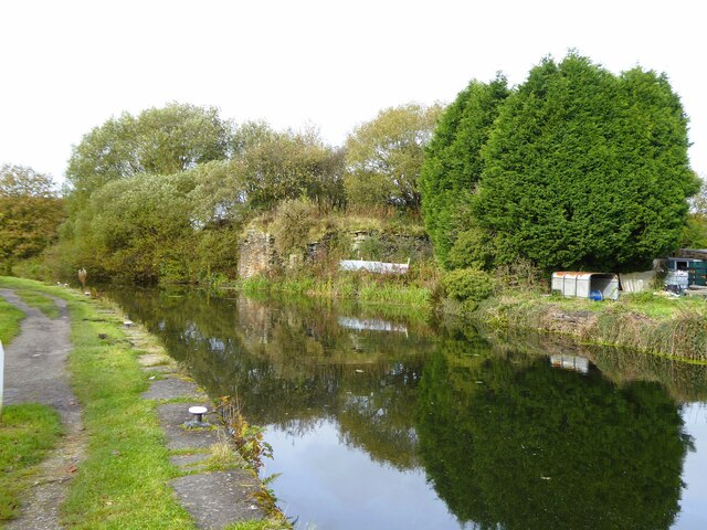
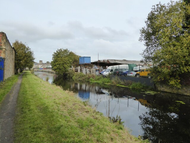
Covering a vast expanse of land, The Orchard is a delightful mix of dense woodland and open meadows, providing a diverse range of habitats for a variety of plant and animal species. The area is home to numerous native trees such as oak, beech, and birch, which create a stunning canopy that dapples sunlight throughout the forest floor. This natural setting offers a peaceful and tranquil environment, perfect for those seeking solace in nature.
Visitors to The Orchard can explore a network of well-maintained trails that wind their way through the woodland, allowing for leisurely walks or more vigorous hikes. The paths are lined with wildflowers and ferns, adding to the beauty of the surroundings. Along the way, there are several benches strategically placed, offering opportunities to rest and take in the breathtaking views.
Wildlife enthusiasts will delight in the abundance of creatures that call The Orchard home. The forest is teeming with a variety of bird species, including woodpeckers, robins, and tawny owls. Deer can also be spotted grazing in the meadows during early morning or late evening hours. Small mammals such as rabbits and squirrels are a common sight, adding to the charm and enchantment of this woodland retreat.
Overall, The Orchard in Lancashire is a natural treasure that offers a serene escape from the hustle and bustle of everyday life. Whether it's a leisurely stroll, a family picnic, or a chance to appreciate the wonders of the natural world, this woodland oasis is sure to captivate all who visit.
If you have any feedback on the listing, please let us know in the comments section below.
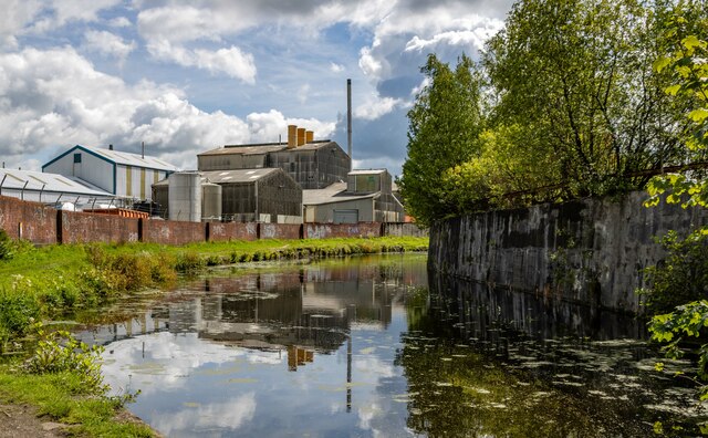
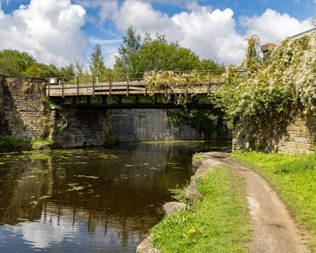
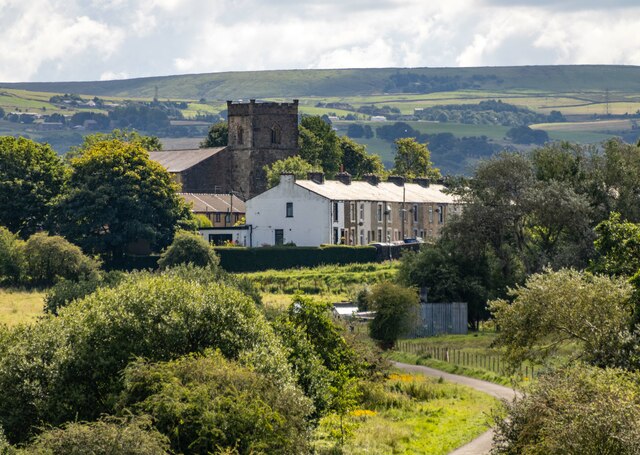
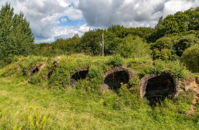
The Orchard Images
Images are sourced within 2km of 53.746525/-2.3976495 or Grid Reference SD7327. Thanks to Geograph Open Source API. All images are credited.


The Orchard is located at Grid Ref: SD7327 (Lat: 53.746525, Lng: -2.3976495)
Administrative County: Lancashire
District: Hyndburn
Police Authority: Lancashire
What 3 Words
///clipped.boss.headliner. Near Church, Lancashire
Nearby Locations
Related Wikis

Rhyddings
Rhyddings (formerly Rhyddings High School and then Rhyddings Business and Enterprise School) is a mixed secondary school located in Oswaldtwistle in the...

Oswaldtwistle
Oswaldtwistle ( "ozzel twizzel") is a town in the Hyndburn borough of Lancashire, England, 3 miles (5 km) southeast of Blackburn, contiguous with Accrington...

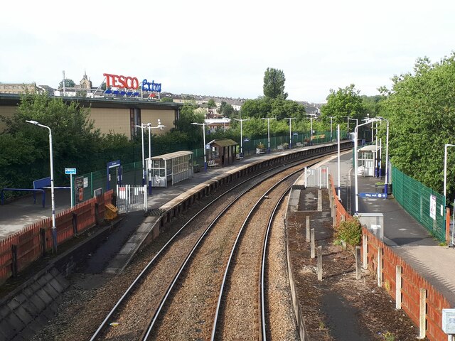
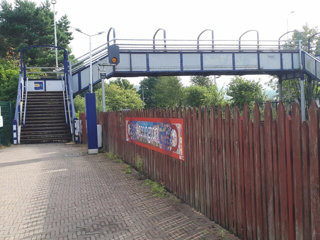
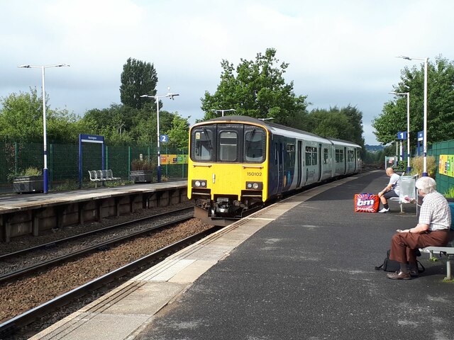
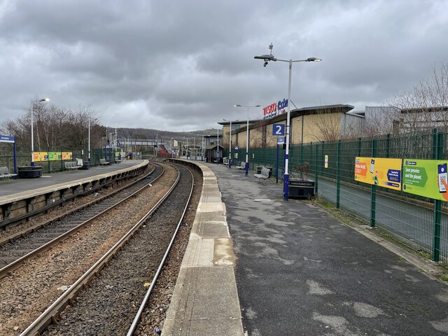
Church & Oswaldtwistle railway station
Church & Oswaldtwistle railway station serves both the village of Church and the town of Oswaldtwistle, in Lancashire, England. The station is 5+1⁄3 miles...

Aspden
Aspden is the historic name of a valley a mile west of Church and a mile north of Oswaldtwistle, between Accrington and Blackburn, in Lancashire, England...

Church, Lancashire
Church is a large village in Hyndburn, Lancashire, England, situated one mile (1.6 km) west of Accrington. The village had a population of 5,186 at the...
St James' Church, Church Kirk
St James' Church is an redundant church in St James' Road, Church, Hyndburn, Lancashire, England. It was an active Anglican parish church in the deanery...

Immanuel Church, Oswaldtwistle
Immanuel Church is an Anglican church in Oswaldtwistle, Lancashire, England. It is an active parish church in the Diocese of Blackburn and the archdeaconry...
Mount Carmel Roman Catholic High School
Mount Carmel Roman Catholic High School is a coeducational Roman Catholic secondary school located in Accrington, a town located in the county of Lancashire...
Nearby Amenities
Located within 500m of 53.746525,-2.3976495Have you been to The Orchard?
Leave your review of The Orchard below (or comments, questions and feedback).