Grovehouse Coppice

Wood, Forest in Gloucestershire Forest of Dean

England

Grovehouse Coppice

M50 looking west
M50 looking west Credit: Colin Pyle

Grovehouse Coppice is a picturesque woodland located in Gloucestershire, England. Situated in the heart of the county, this woodland covers an area of approximately 50 acres, making it a significant natural feature in the region. The coppice is named after the grove of trees that dominate the landscape, creating a dense and enchanting forest.

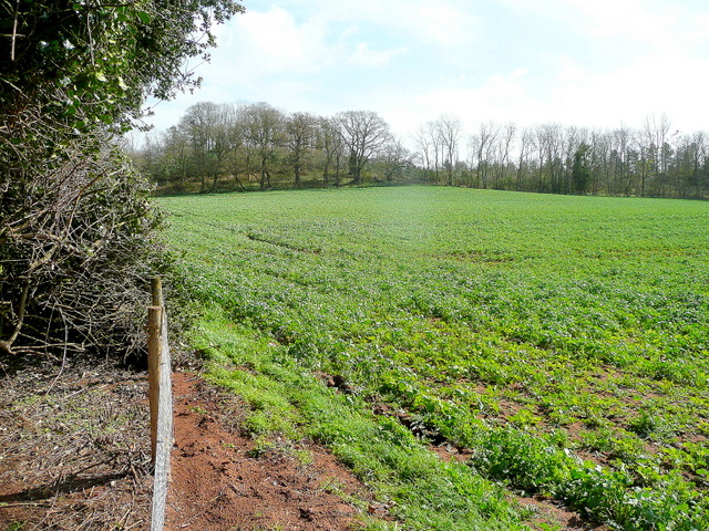
The woodland is home to a diverse range of flora and fauna, making it a haven for nature enthusiasts and wildlife lovers. Ancient oak trees, birches, and beeches stand tall throughout the coppice, providing a rich habitat for a variety of bird species, including woodpeckers and owls. The forest floor is carpeted with bluebells and wild garlic during the spring months, creating a stunning and fragrant display.

Visitors to Grovehouse Coppice can explore the woodland through a network of well-maintained footpaths. These trails wind their way through the trees, offering breathtaking views of the surrounding countryside and glimpses of wildlife along the way. The coppice also features a small stream that meanders through the forest, adding to its natural beauty.

The woodland is open to the public year-round, providing a peaceful and tranquil escape from the bustle of everyday life. It is a popular destination for walking, birdwatching, and photography. Grovehouse Coppice is easily accessible by car, with ample parking available nearby.

Overall, Grovehouse Coppice is a hidden gem in Gloucestershire, offering a serene and immersive experience in the heart of nature.

If you have any feedback on the listing, please let us know in the comments section below.

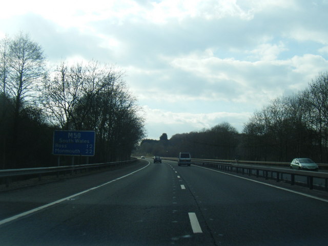
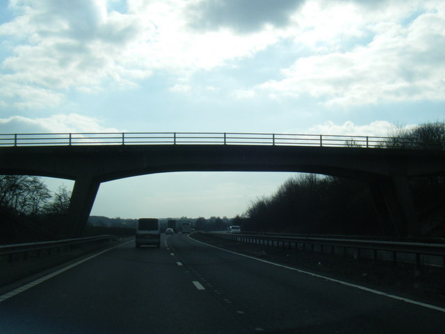
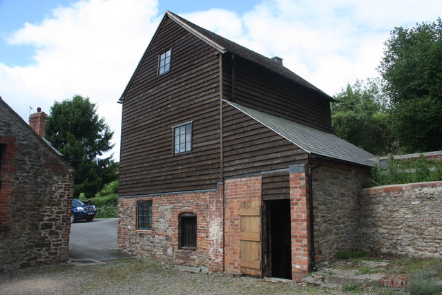
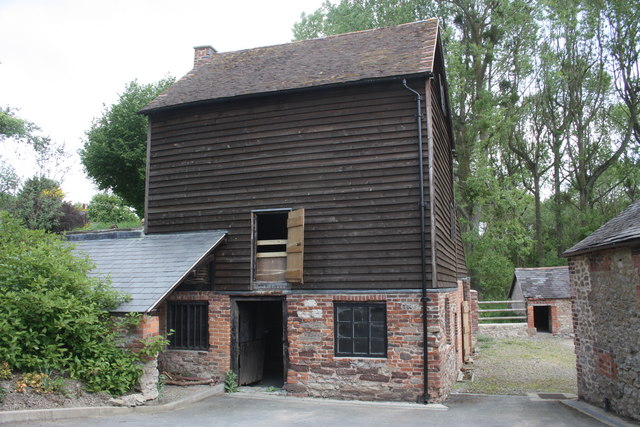
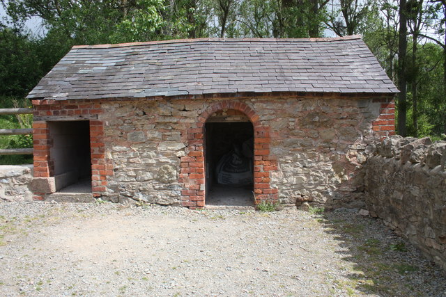
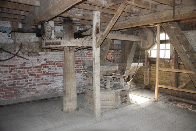
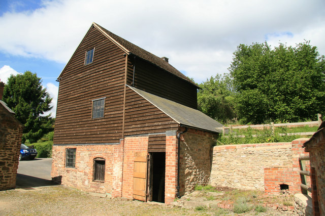
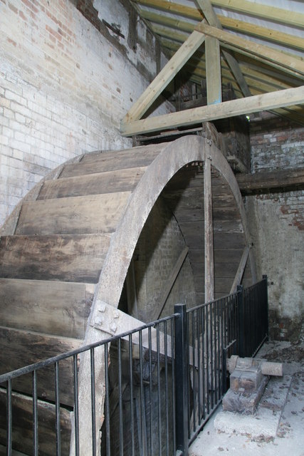
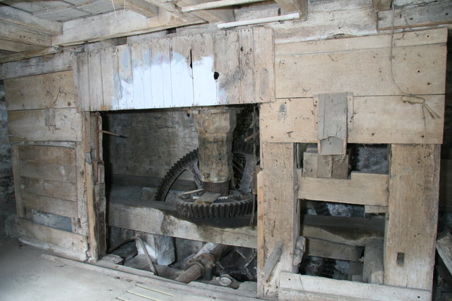
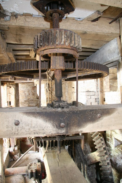
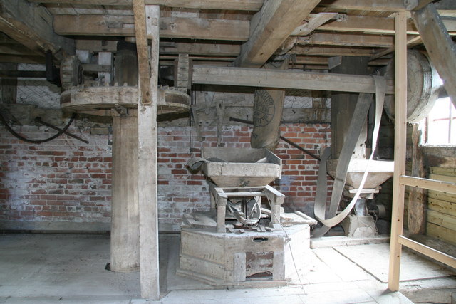
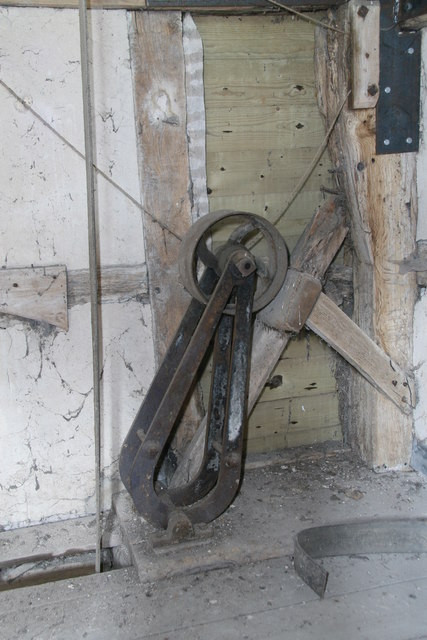
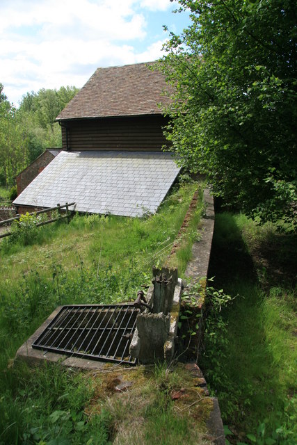
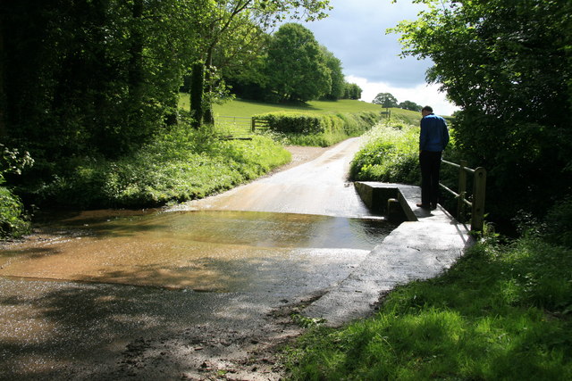
Grovehouse Coppice Images

Images are sourced within 2km of 51.998454/-2.3942744 or Grid Reference SO7333. Thanks to Geograph Open Source API. All images are credited.

M50 looking west
M50 looking west
M50 westbound at Bromsberrow Heath
M50 near Ryton
M50 near Ryton
Bridleway to Ever Hill Coppice Deeply indented green lane popular with dog-walkers.
Bridleway to Ever Hill Coppice
Deeply indented green lane popular with dog-walkers.
Ryton Coppice View from the bridleway east of Ryton.
Ryton Coppice
View from the bridleway east of Ryton.
Wild daffodils by the M50 On this last day of March 2011, the flowers are starting to senesce.
Wild daffodils by the M50
On this last day of March 2011, the flowers are starting to senesce.
Clencher's Mill Taken on a visit during the National Mills Weekend.
An 18th century timber framed mill with an iron overshot waterwheel dating back to 1820. 
The waterwheel is accessed from the open doorway.
When, in the 1920s, the water supply via the leet was cut off the mill was driven from an engine in the building on the left with a drive shaft passing overhead.
Clencher's Mill
Taken on a visit during the National Mills Weekend. An 18th century timber framed mill with an iron overshot waterwheel dating back to 1820. The waterwheel is accessed from the open doorway. When, in the 1920s, the water supply via the leet was cut off the mill was driven from an engine in the building on the left with a drive shaft passing overhead.
Clencher's Mill Taken on a visit during the National Mills Weekend.
An 18th century timber framed mill with an iron overshot waterwheel dating back to 1820. 
When, in the 1920s, the water supply via the leet was cut off the mill was driven from an engine in the building on the right with a drive shaft passing overhead.
Clencher's Mill
Taken on a visit during the National Mills Weekend. An 18th century timber framed mill with an iron overshot waterwheel dating back to 1820. When, in the 1920s, the water supply via the leet was cut off the mill was driven from an engine in the building on the right with a drive shaft passing overhead.
Outbuildings, Clencher's Mill I was told these were pigsties. 
The front wall is two bricks 18" deep.
The left end wall is modern breeze block so the building may have been shortened.
Outbuildings, Clencher's Mill
I was told these were pigsties. The front wall is two bricks 18" deep. The left end wall is modern breeze block so the building may have been shortened.
The mill stones, Clencher's Mill Taken on a visit during the National Mills Weekend.
An 18th century timber framed mill with an iron overshot waterwheel dating back to the 1820.
The corn for grinding was shaken from the wooden hopper into the centre of the top stone.
The string disappearing through a hole to the floor below controlled the feed of corn to the mill - when a bag of milled flour was full the miller pulled the string and the corn stopped flowing.
The metal lever on the wall on the left of the picture controlled the water flow over the wheel, housed beyond the brick wall.
The horizontal shaft with the leather belt must be a 1920s addition when the water supply to the leet was cut off and the mill was powered from an engine in an adjacent building.
The mill stones, Clencher's Mill
Taken on a visit during the National Mills Weekend. An 18th century timber framed mill with an iron overshot waterwheel dating back to the 1820. The corn for grinding was shaken from the wooden hopper into the centre of the top stone. The string disappearing through a hole to the floor below controlled the feed of corn to the mill - when a bag of milled flour was full the miller pulled the string and the corn stopped flowing. The metal lever on the wall on the left of the picture controlled the water flow over the wheel, housed beyond the brick wall. The horizontal shaft with the leather belt must be a 1920s addition when the water supply to the leet was cut off and the mill was powered from an engine in an adjacent building.
Clenchers Mill This is the watermill for Eastnor Castle and was open for National Mills Weekend. There is an overshot wheel and a single pair of stones.
Clenchers Mill
This is the watermill for Eastnor Castle and was open for National Mills Weekend. There is an overshot wheel and a single pair of stones.
Clenchers Mill, near Eastnor The estate watermill for Eastnor Castle and shortly to be restored to working order. This is the overshot water wheel. The wooden penstock is at the top. The railing is obviously more modern.
Clenchers Mill, near Eastnor
The estate watermill for Eastnor Castle and shortly to be restored to working order. This is the overshot water wheel. The wooden penstock is at the top. The railing is obviously more modern.
Clenchers Mill, near Eastnor This is the gear room of this 18th century timber framed watermill. The wheel is of 1820. The pit wheel is at the back and the wallow is out of mesh on the beam carrying the footstep bearing for the main shaft. There is one surviving set of stones driven to the right. The stones on the left are missing but sufficient remains to show there must have been a pair here. The vertical centre boarding is curved to clear the great spur wheel.
Clenchers Mill, near Eastnor
This is the gear room of this 18th century timber framed watermill. The wheel is of 1820. The pit wheel is at the back and the wallow is out of mesh on the beam carrying the footstep bearing for the main shaft. There is one surviving set of stones driven to the right. The stones on the left are missing but sufficient remains to show there must have been a pair here. The vertical centre boarding is curved to clear the great spur wheel.
Clenchers Mill This shows the pit wheel, great spur wheel and single surviving stone nut. The jacking ring has been used to take the stone nut out of engagement. The axle of the wheel can be seen to be metal. This watermill was open for National Mills Weekend.
Clenchers Mill
This shows the pit wheel, great spur wheel and single surviving stone nut. The jacking ring has been used to take the stone nut out of engagement. The axle of the wheel can be seen to be metal. This watermill was open for National Mills Weekend.
Clenchers Mill - stone floor The single surviving pair of stones and a crusher for animal feed are on the right. The lever on the wall on the left opens the penstock for the overshot waterwheel. The crownwheel is just left of centre and operates one shaft for the sack hoist and one for other auxiliaries.
Clenchers Mill - stone floor
The single surviving pair of stones and a crusher for animal feed are on the right. The lever on the wall on the left opens the penstock for the overshot waterwheel. The crownwheel is just left of centre and operates one shaft for the sack hoist and one for other auxiliaries.
Clenchers Mill,  sack hoist mechanism This roller on an arm is pulled onto the sack hoist belt (vertical belt left of centre) to tighten it and engage the sack hoist and pulled off to release it. There are two cords to operate it. I have never seen one like it before.

This watermill was open for National Mills Weekend.
Clenchers Mill, sack hoist mechanism
This roller on an arm is pulled onto the sack hoist belt (vertical belt left of centre) to tighten it and engage the sack hoist and pulled off to release it. There are two cords to operate it. I have never seen one like it before. This watermill was open for National Mills Weekend.
Clenchers Mill near Eastnor The leat is on the right with the by-pass sluice in the foreground. The mill is beyond and the wheel is under the slate roof that is catching the light. The leat is currently dry but restoration is anticipated within three years.
Clenchers Mill near Eastnor
The leat is on the right with the by-pass sluice in the foreground. The mill is beyond and the wheel is under the slate roof that is catching the light. The leat is currently dry but restoration is anticipated within three years.
Ford on the minor road from Eastnor to Bromsberrow
Show me another place!

Grovehouse Coppice is located at Grid Ref: SO7333 (Lat: 51.998454, Lng: -2.3942744)

Administrative County: Gloucestershire

District: Forest of Dean

Police Authority: Gloucestershire

What 3 Words

///swerves.partner.shampoos. Near Donnington, Herefordshire

Related Wikis

Three Counties (Gloucestershire, Herefordshire and Worcestershire)

The Three Counties of England are traditionally the three agrarian counties of Gloucestershire, Herefordshire and Worcestershire.Including towns and cities...

Bromsberrow

Bromsberrow (or Bromesberrow) is part of the Forest of Dean district. The village is close to the meeting point between Gloucestershire, Herefordshire...

Donnington, Herefordshire

Donnington is a village and civil parish near Ledbury. == Parish church == The parish church is dedicated to Saint Mary. Donnington Hall is located here...

Parkway, Herefordshire

Parkway is a hamlet centred 2 km (1.2 mi) south of the market town of Ledbury in Herefordshire, England, centred on the direct single-carriageway north...

Ketford Bank

Ketford Bank (grid reference SO723308) is a 0.69-hectare (1.7-acre) nature reserve in Gloucestershire.The site is owned and managed by the Gloucestershire...

Vell Mill Daffodil Meadow

Vell Mill Daffodil Meadow (grid reference SO710314) is a 2.1-hectare (5.2-acre) nature reserve in Gloucestershire.The site is owned and managed by the...

Redmarley D'Abitot

Redmarley D'Abitot is a civil parish and village in the Forest of Dean district, Gloucestershire, South West England. In addition to the village of Redmarley...

Greenway Halt railway station (Gloucestershire)

Greenway Halt was a request stop on the former Ledbury and Gloucester Railway. It opened on 1st April 1937 and closed in 1959 when the line was closed...

Nearby Amenities

Located within 500m of 51.998454,-2.3942744
Telephone
Defibrillator
Booth: K6
Covered: booth
Defibrillator Location: inside old red phone box, Bromesberrow Heath
Emergency: defibrillator
Man Made: telephone_box
Ref: CHT-13-928
Lat/Long: 51.9950386/-2.3900487
Bus Stop
Bromesberrow Heath Post Office
Naptan AtcoCode: 1600GL791
Naptan Bearing: W
Naptan CommonName: Bromesberrow Heath Post Office
Naptan Indicator: Opp
Naptan NaptanCode: gloamwpa
Naptan Street: Beech Ln
Naptan Verified: no
Source: naptan_import
Lat/Long: 51.9951309/-2.3898602
Bus Stop
Bromesberrow Heath Post Office
Naptan AtcoCode: 1600GL792
Naptan Bearing: E
Naptan CommonName: Bromesberrow Heath Post Office
Naptan NaptanCode: gloamwpt
Naptan Street: Beech Ln
Naptan Verified: no
Source: naptan_import
Lat/Long: 51.9952396/-2.3896281
Post Box
Collection Times: Mo-Fr 15:00; Sa 08:30
Description: Outside Bromsberrow Heath Post Office
Five roads meet here./Dyke House Lane / (unnamed roads)
Fixme: mass-upload; needs manual review
Post Box Type: lamp
Ref: HR8 647
Lat/Long: 51.995239/-2.390107
Bromesberrow Heath West
Power: pole
Transformer: distribution
Voltage Primary: 11000
Lat/Long: 51.9949737/-2.3926619
Power: pole
Lat/Long: 51.9943734/-2.3928966
Power: pole
Lat/Long: 51.9979183/-2.3876877
Grove House
Power: pole
Transformer: distribution
Voltage Primary: 11000
Lat/Long: 51.9983262/-2.3884247
Power: pole
Lat/Long: 51.9987448/-2.3891824
Power: pole
Lat/Long: 51.9992336/-2.3900621
Power: pole
Lat/Long: 51.9995754/-2.3906784
Power: pole
Lat/Long: 52.0000122/-2.3914656
Power: pole
Lat/Long: 52.0005386/-2.3921295
Power: pole
Lat/Long: 52.0009906/-2.3927068
Power: pole
Lat/Long: 52.0019562/-2.3934297
Power: pole
Lat/Long: 52.0028871/-2.394121
The data included in this document is from www.openstreetmap.org. The data is made available under ODbL.

Have you been to Grovehouse Coppice?

Leave your review of Grovehouse Coppice below (or comments, questions and feedback).