Rushy-pits Covert

Wood, Forest in Cheshire

England

Rushy-pits Covert

Road Junction Peacock Lane runs SE from here towards Bucklow Hill and the road to Moss House farm can be seen on the left of the image. This picture was taken at SJ717842.
Road Junction Credit: Dave Smethurst

Rushy-pits Covert is a woodland area located in Cheshire, England. It is known for its dense forest cover and diverse range of plant and animal species. The woodland is home to a variety of native trees such as oak, beech, and birch, as well as an array of wildflowers and ferns that flourish in the shaded undergrowth.

The forest is a popular destination for nature enthusiasts and hikers looking to explore the natural beauty of the Cheshire countryside. Rushy-pits Covert offers a network of well-maintained trails that wind through the woodland, providing visitors with opportunities to observe wildlife and enjoy the peaceful surroundings.

In addition to its natural beauty, Rushy-pits Covert also plays an important role in supporting local ecosystems and providing habitat for a range of wildlife species. Birds, mammals, and insects can be spotted throughout the forest, making it a haven for wildlife enthusiasts and photographers.

Overall, Rushy-pits Covert is a tranquil and scenic woodland area that offers a peaceful retreat from the hustle and bustle of everyday life, making it a popular destination for visitors seeking to connect with nature.

If you have any feedback on the listing, please let us know in the comments section below.

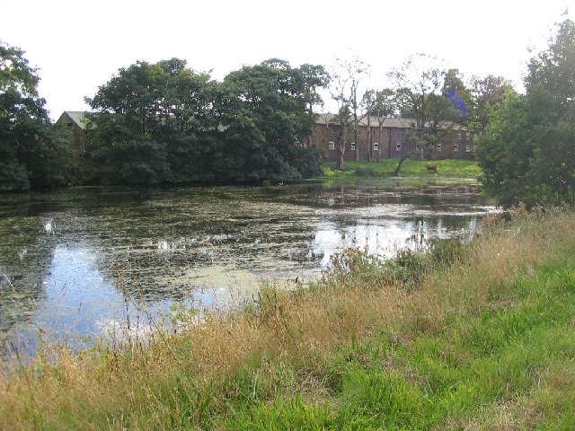
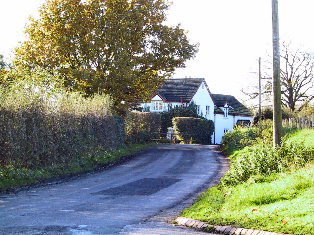
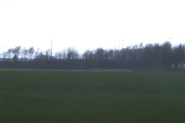
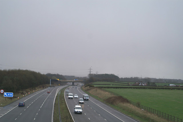
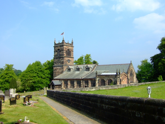
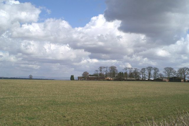
Rushy-pits Covert Images

Images are sourced within 2km of 53.36154/-2.406661 or Grid Reference SJ7385. Thanks to Geograph Open Source API. All images are credited.

Road Junction Peacock Lane runs SE from here towards Bucklow Hill and the road to Moss House farm can be seen on the left of the image. This picture was taken at SJ717842.
Road Junction
Peacock Lane runs SE from here towards Bucklow Hill and the road to Moss House farm can be seen on the left of the image. This picture was taken at SJ717842.
Holy Trinity This lovely little church was founded in 1869. It is located at SJ725866 on Lymm Road.
Holy Trinity
This lovely little church was founded in 1869. It is located at SJ725866 on Lymm Road.
Farmland This image was taken from SJ726835 looking SW from Chapel Lane near Bucklow Hill.
Farmland
This image was taken from SJ726835 looking SW from Chapel Lane near Bucklow Hill.
Parish church of St. Mary This view of the church was taken from SJ742836 looking east.
Parish church of St. Mary
This view of the church was taken from SJ742836 looking east.
Home Farm This picture was taken from SJ744864 looking SW across the pond to Home Farm, this farm has been previously known as Dunham Farm.
Home Farm
This picture was taken from SJ744864 looking SW across the pond to Home Farm, this farm has been previously known as Dunham Farm.
Rostherne Mere Looking South over the lake (note tower of Rostherne village church <a href="https://www.geograph.org.uk/gridref/SJ7483">SJ7483</a>visible on RHS)
Rostherne Mere
Looking South over the lake (note tower of Rostherne village church SJ7483visible on RHS)
Mereside Cottage Viewed from the gates of Cherrytree Farm on Dirty Lane, this cottage is on the corner of the lane where it joins the A556
Mereside Cottage
Viewed from the gates of Cherrytree Farm on Dirty Lane, this cottage is on the corner of the lane where it joins the A556
Boothbank Farm At the meeting of Reddy Lane, Millington Lane and Boothbank Lane, stands Boothbank Farm. Around 1747 John Wesley used to stay here and preach to the local community at the methodist chapel (see supplemental image). The chapel is long gone, and the M56 motorway now thunders over the spot where it used to stand.
Boothbank Farm
At the meeting of Reddy Lane, Millington Lane and Boothbank Lane, stands Boothbank Farm. Around 1747 John Wesley used to stay here and preach to the local community at the methodist chapel (see supplemental image). The chapel is long gone, and the M56 motorway now thunders over the spot where it used to stand.
Wesleyan Methodist Chapel This plaque stands under the M56 on Reddy Lane at Boothbank, site of the original Wesleyan Chapel, demolished in 1972.
Wesleyan Methodist Chapel
This plaque stands under the M56 on Reddy Lane at Boothbank, site of the original Wesleyan Chapel, demolished in 1972.
Moss House Farm
Moss House Farm
If the Romans could see it now The A560, Watling Street, raised on an embankment to clear the M56
If the Romans could see it now
The A560, Watling Street, raised on an embankment to clear the M56
Headlight code Wet and gloomy view eastwards on the M56
Headlight code
Wet and gloomy view eastwards on the M56
Agden Hall
Agden Hall
Pylons near New Farm Little Bollington
Pylons near New Farm
Little Bollington
Footpath under the Canal at Little Bollington
Swan With Two Nicks
Swan With Two Nicks
Fallow Deer in Dunham Park
St Mary, Rostherne The parish church for the Tatton Estate village of Rostherne. The churchyard is slightly strange because all of the old memorials near to the church have been laid flat making it look a bit like a car park!
St Mary, Rostherne
The parish church for the Tatton Estate village of Rostherne. The churchyard is slightly strange because all of the old memorials near to the church have been laid flat making it look a bit like a car park!
Show me another place!

Rushy-pits Covert is located at Grid Ref: SJ7385 (Lat: 53.36154, Lng: -2.406661)

Unitary Authority: Cheshire East

Police Authority: Cheshire

What 3 Words

///fork.unpainted.berated. Near Bowdon, Manchester

Related Wikis

Millington, Cheshire

Millington is a former civil parish, now in the parishes of Millington and Rostherne and Little Bollington with Agden, in the Cheshire East district, in...

Arthill

Arthill is a village in Cheshire, England. == References ==

Agden, Cheshire East

Agden is a former civil parish, now in the parish of Little Bollington with Agden, in the borough of Cheshire East and the ceremonial county of Cheshire...

Rostherne Mere

Rostherne Mere is a natural lake in Cheshire, England. It is the largest of the Cheshire meres with an area of 48 hectares (120 acres) and a maximum depth...

Nearby Amenities

Located within 500m of 53.36154,-2.406661
Ele: 31.368530
Lat/Long: 53.3641148/-2.4007487
Barrier: stile
Lat/Long: 53.3574931/-2.4082858
Barrier: stile
Lat/Long: 53.3593198/-2.4023405
Barrier: stile
Lat/Long: 53.3617125/-2.4105687
Barrier: stile
Lat/Long: 53.3618429/-2.4001828
Barrier: stile
Lat/Long: 53.3620808/-2.400082
Barrier: stile
Lat/Long: 53.3622117/-2.4116592
Barrier: stile
Lat/Long: 53.3624284/-2.4090523
Barrier: stile
Lat/Long: 53.363374/-2.4060676
The data included in this document is from www.openstreetmap.org. The data is made available under ODbL.

Have you been to Rushy-pits Covert?

Leave your review of Rushy-pits Covert below (or comments, questions and feedback).