Lodge Wood
Wood, Forest in Herefordshire
England
Lodge Wood
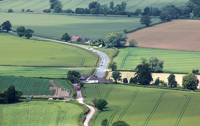
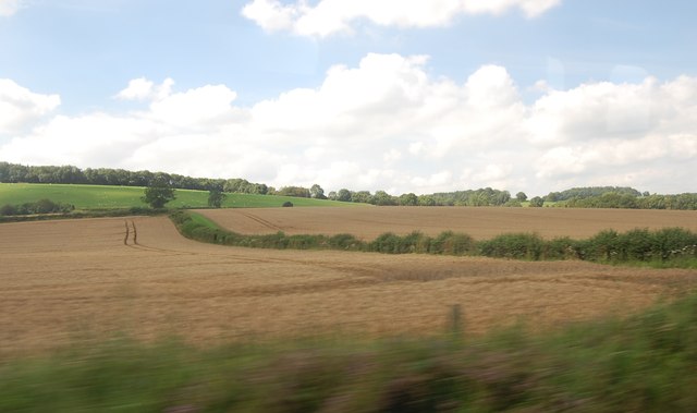
Lodge Wood is a picturesque forest located in Herefordshire, England. Covering an area of approximately 100 acres, the wood is home to a variety of native trees such as oak, beech, and ash, as well as a diverse range of wildlife including deer, squirrels, and various bird species.
The wood is a popular destination for nature lovers and outdoor enthusiasts, offering a network of walking trails that wind through the dense woodland, providing visitors with the opportunity to explore the natural beauty of the area. The peaceful surroundings make it an ideal spot for birdwatching, photography, or simply enjoying a leisurely stroll through the trees.
Lodge Wood is managed by the Forestry Commission, ensuring that the woodland is well-maintained and protected for future generations to enjoy. The forest is also a designated Site of Special Scientific Interest (SSSI), highlighting its importance for conservation and biodiversity.
Overall, Lodge Wood is a tranquil and beautiful natural space that offers a peaceful escape from the hustle and bustle of everyday life, making it a must-visit destination for anyone seeking a connection with nature in Herefordshire.
If you have any feedback on the listing, please let us know in the comments section below.
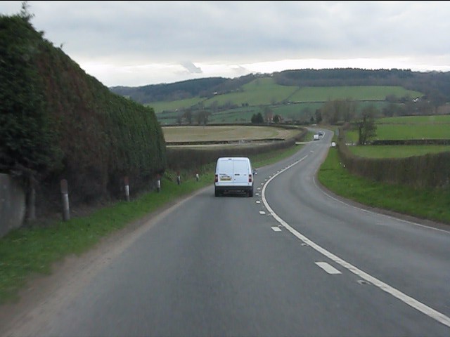
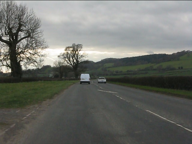
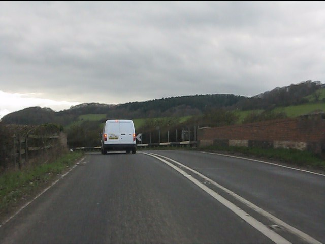
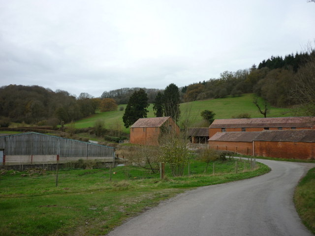
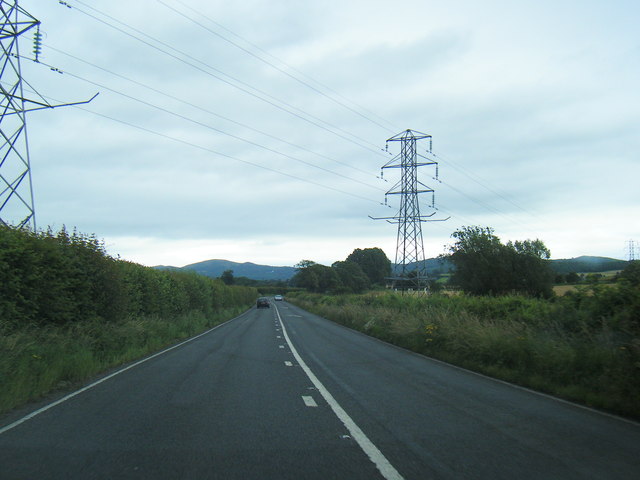
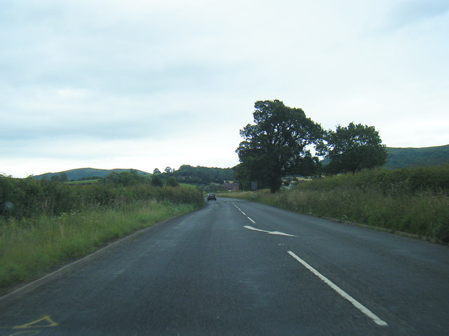
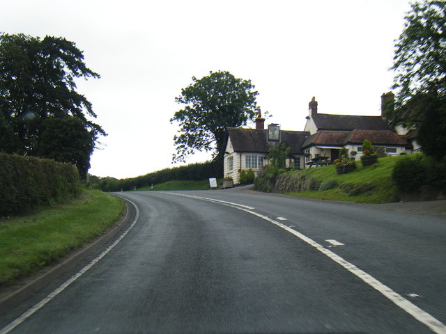
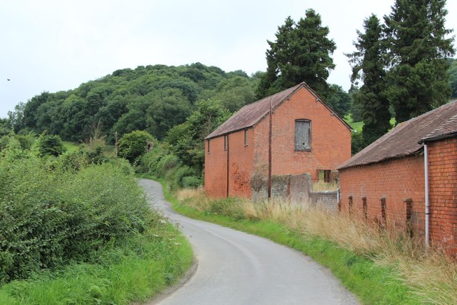
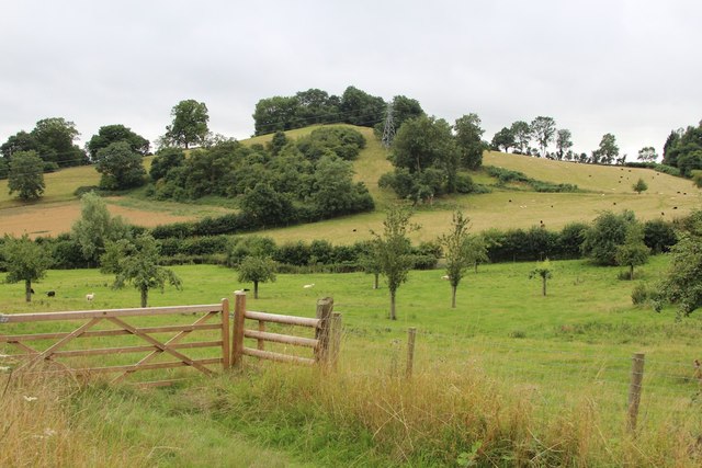
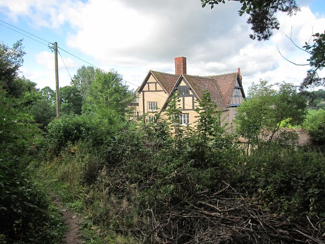
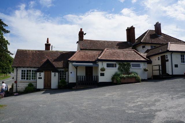
Lodge Wood Images
Images are sourced within 2km of 52.066817/-2.3949203 or Grid Reference SO7341. Thanks to Geograph Open Source API. All images are credited.

Lodge Wood is located at Grid Ref: SO7341 (Lat: 52.066817, Lng: -2.3949203)
Unitary Authority: County of Herefordshire
Police Authority: West Mercia
What 3 Words
///steamed.weary.leaned. Near Ledbury, Herefordshire
Nearby Locations
Related Wikis

Hope End
Hope End is an area and former estate of Herefordshire, England, near the Malvern Hills, noted for its literary associations. As described by a 19th-century...

Coddington, Herefordshire
Coddington is a hamlet and civil parish in eastern Herefordshire, England, about 3 miles (4.8 km) north of Ledbury. The west side of the parish covers...

Wellington Heath
Wellington Heath is a small village and civil parish in Herefordshire, England, approximately 1.5 miles (2.4 km) north of Ledbury. The population was recorded...
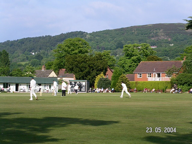
Stowe Lane
Stowe Lane is a cricket ground in Colwall, Herefordshire. The first recorded county match on the ground was in 1974, when the Worcestershire Second XI...
Nearby Amenities
Located within 500m of 52.066817,-2.3949203Have you been to Lodge Wood?
Leave your review of Lodge Wood below (or comments, questions and feedback).